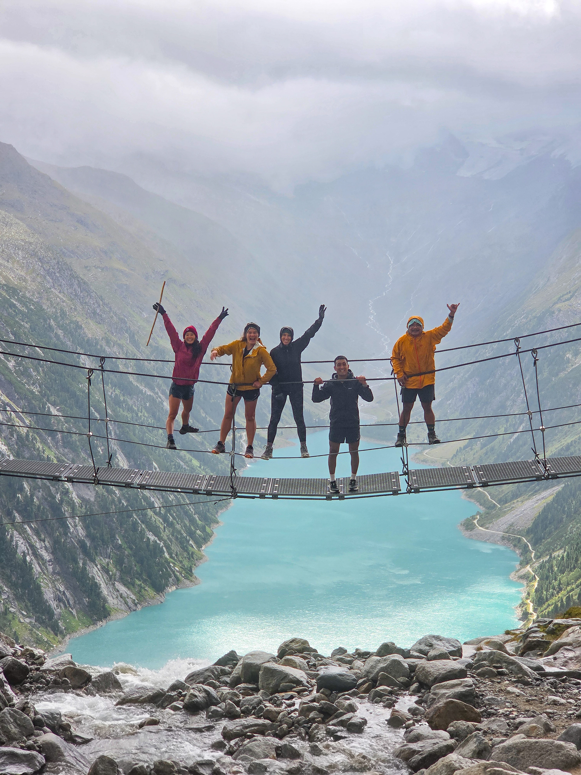
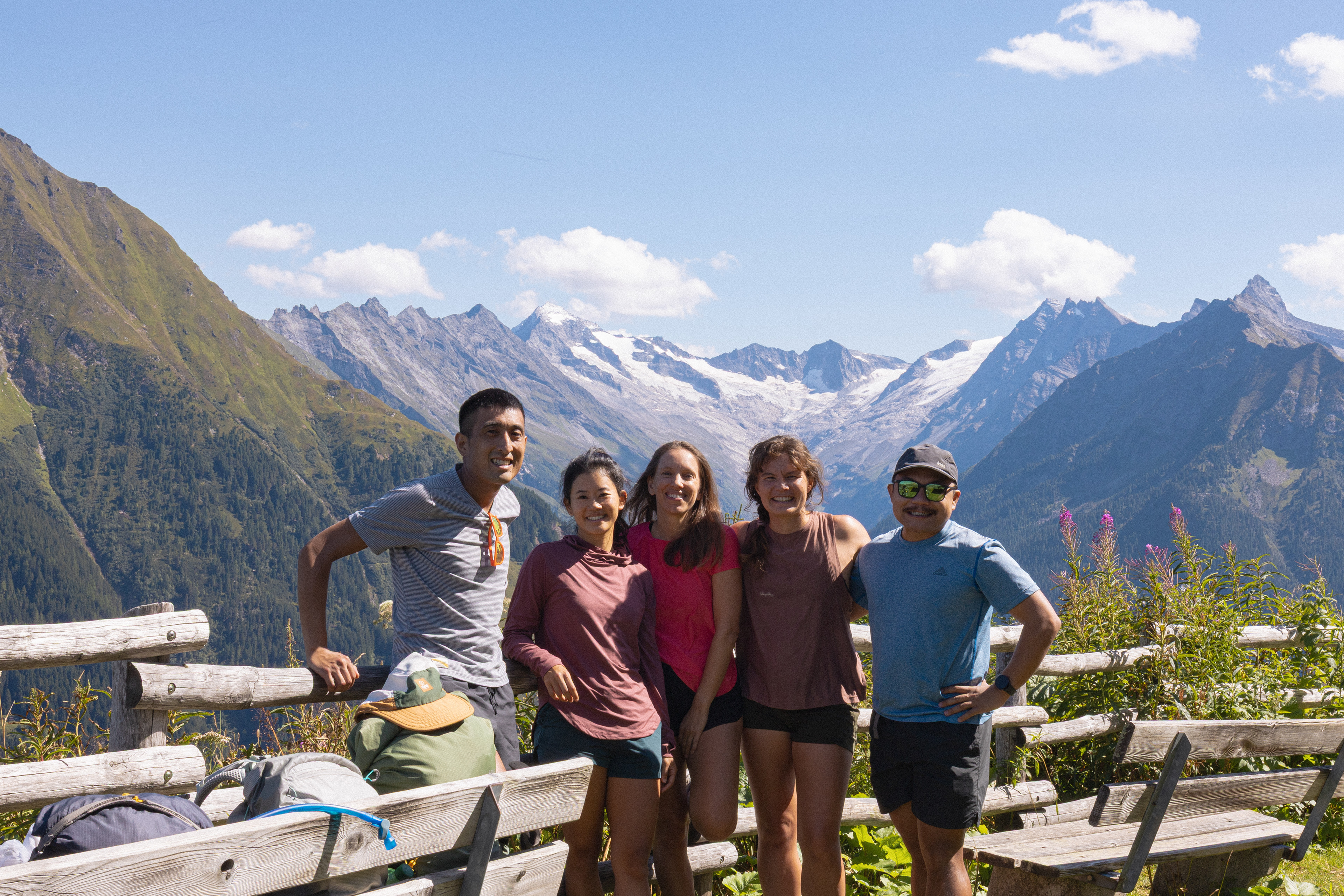
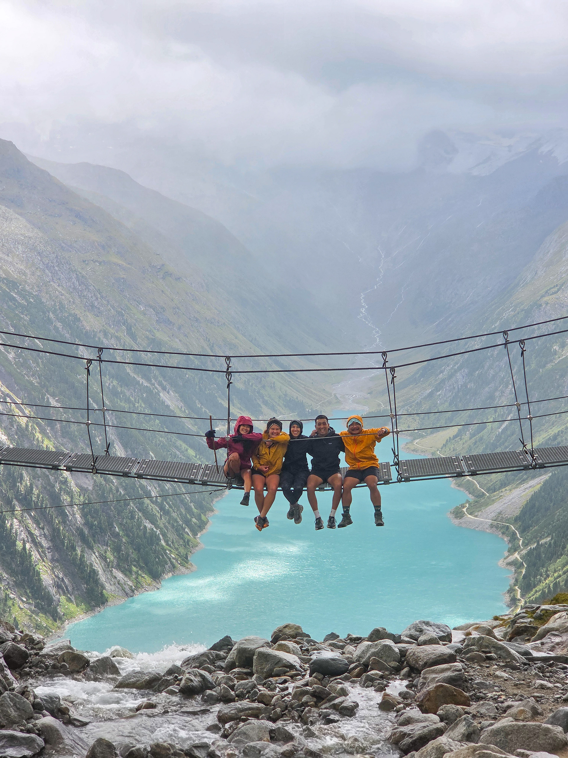
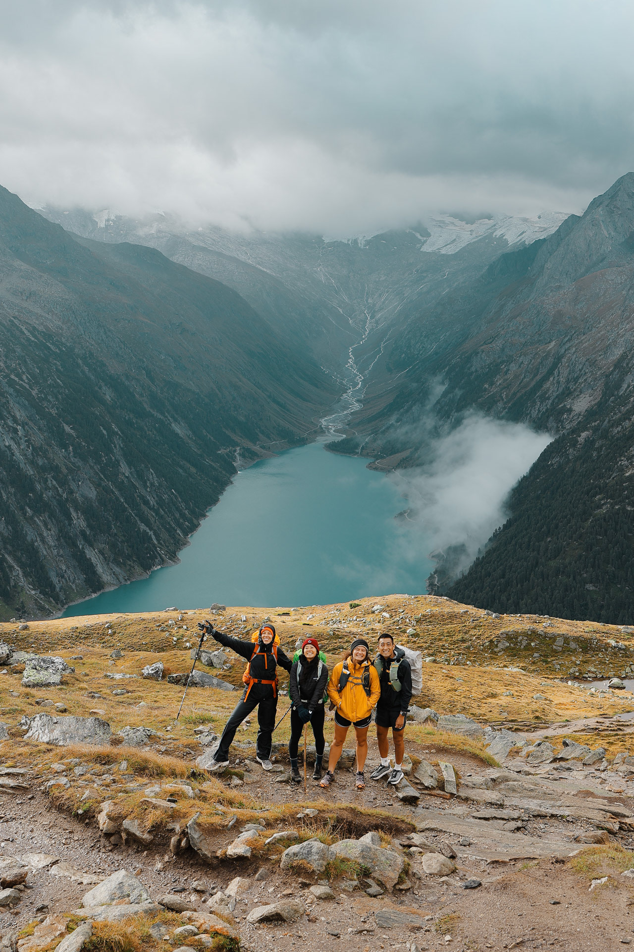
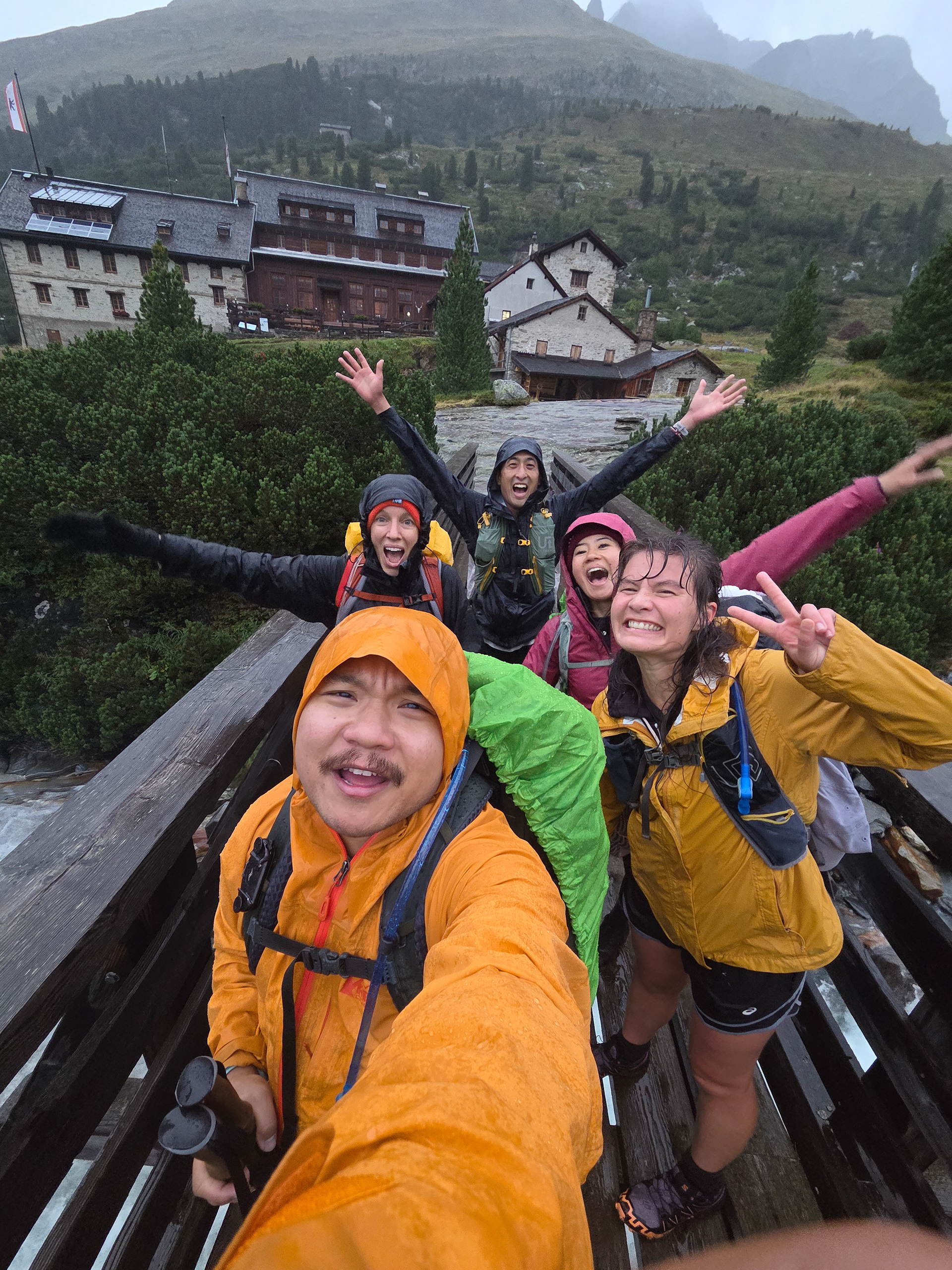
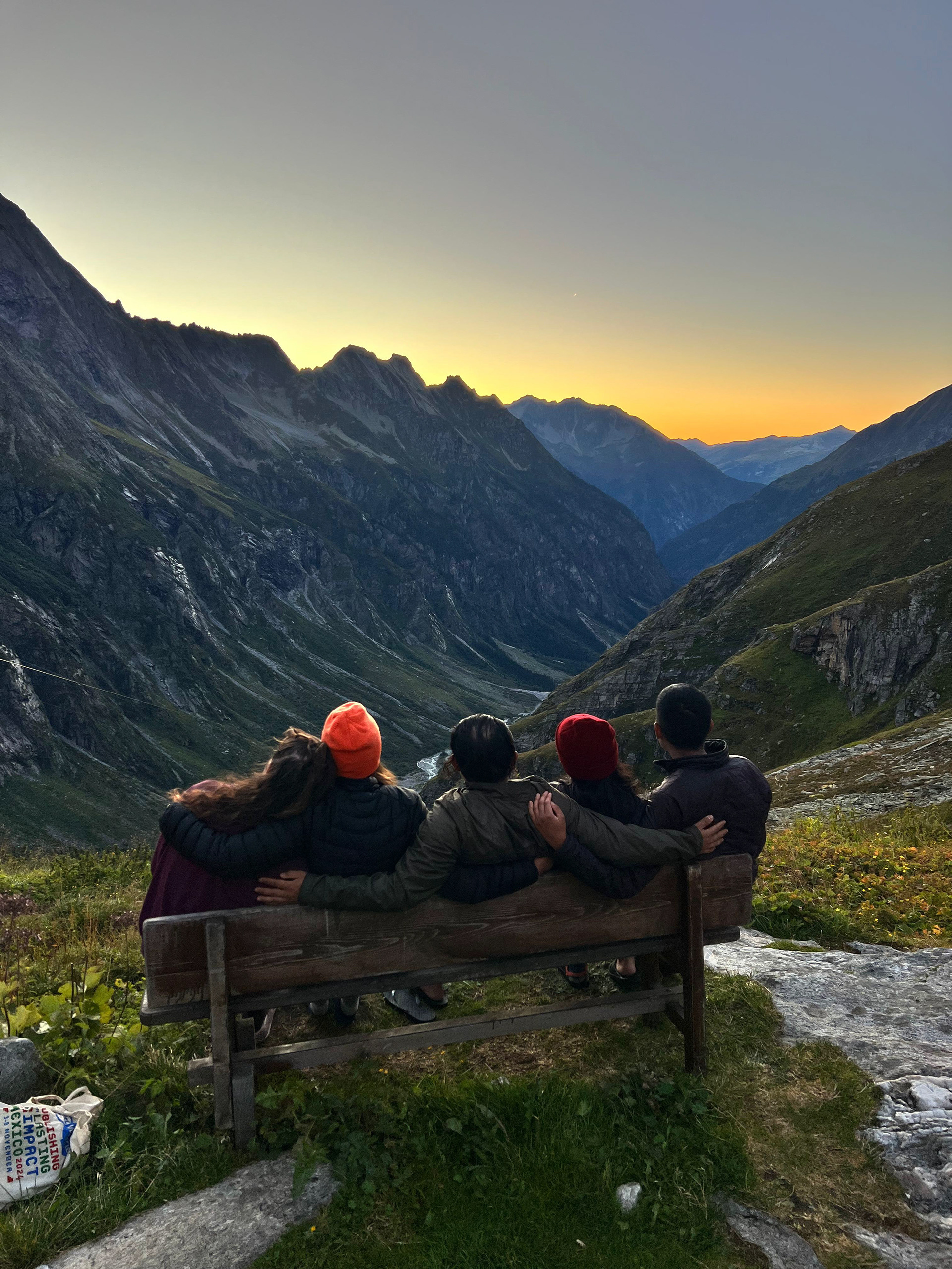
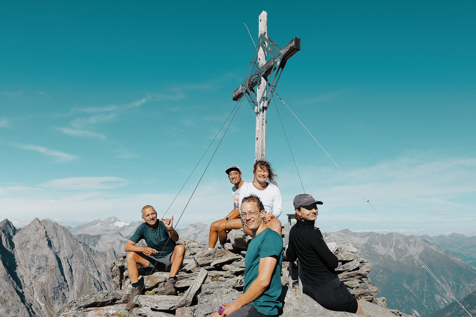
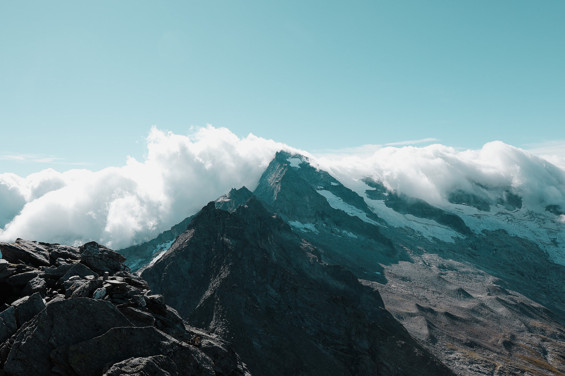
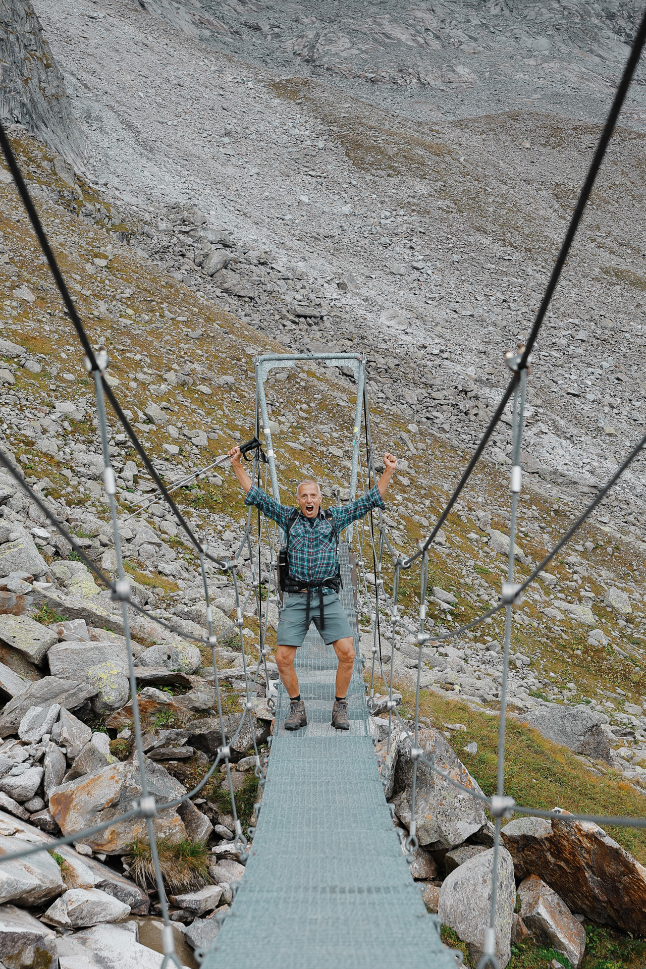
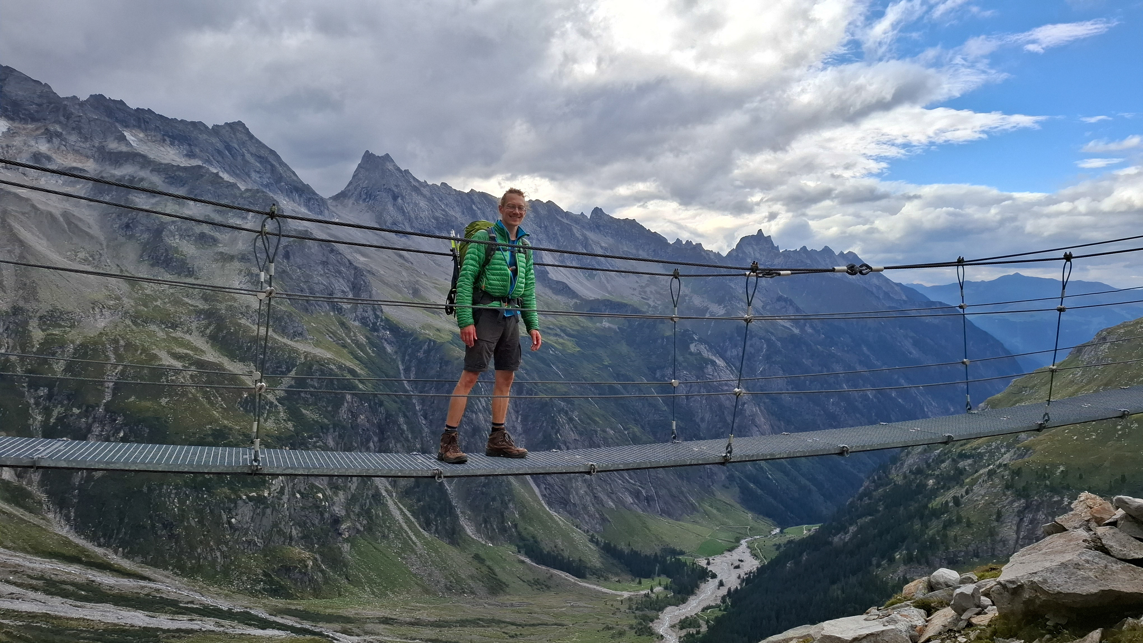
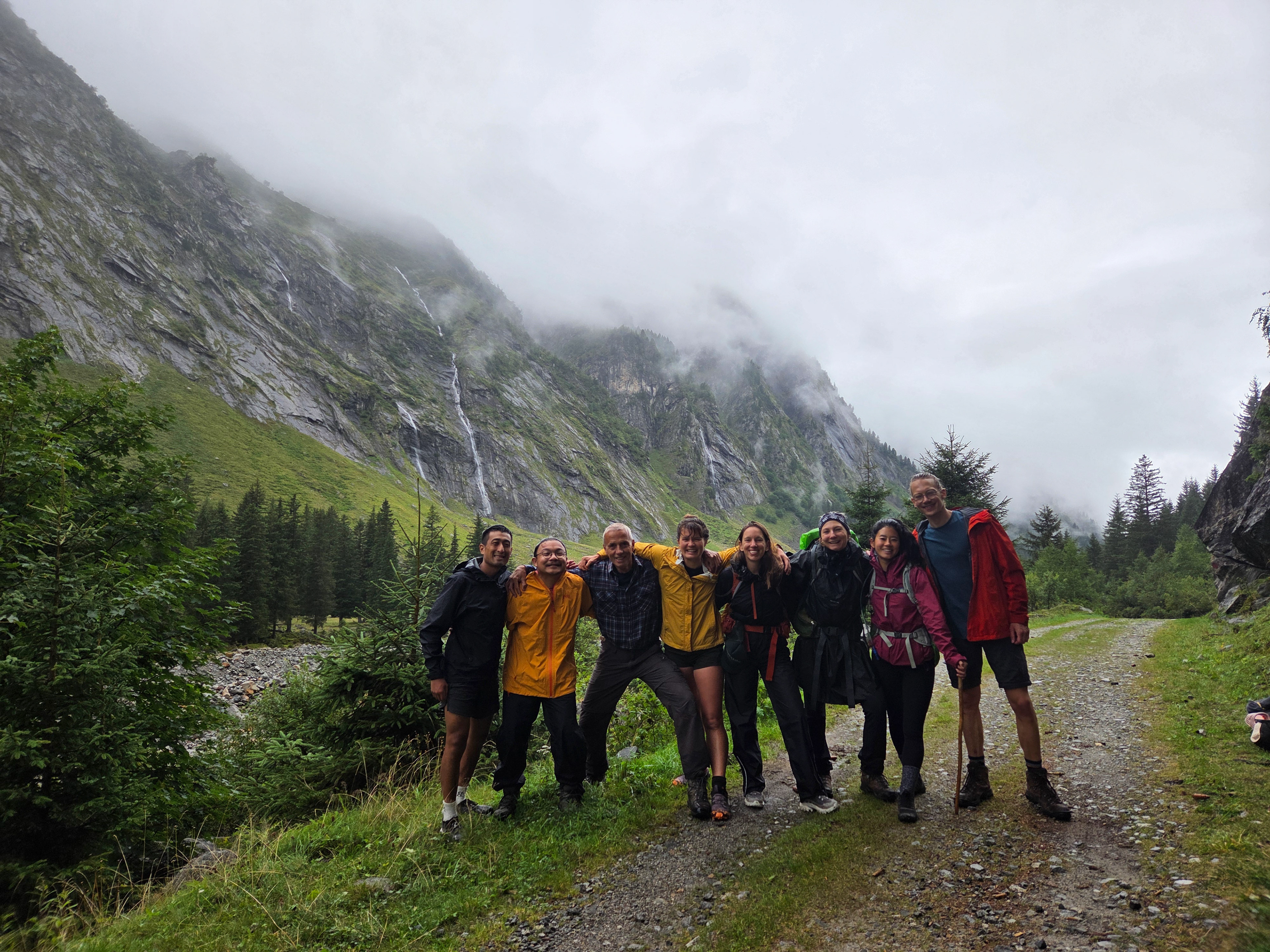
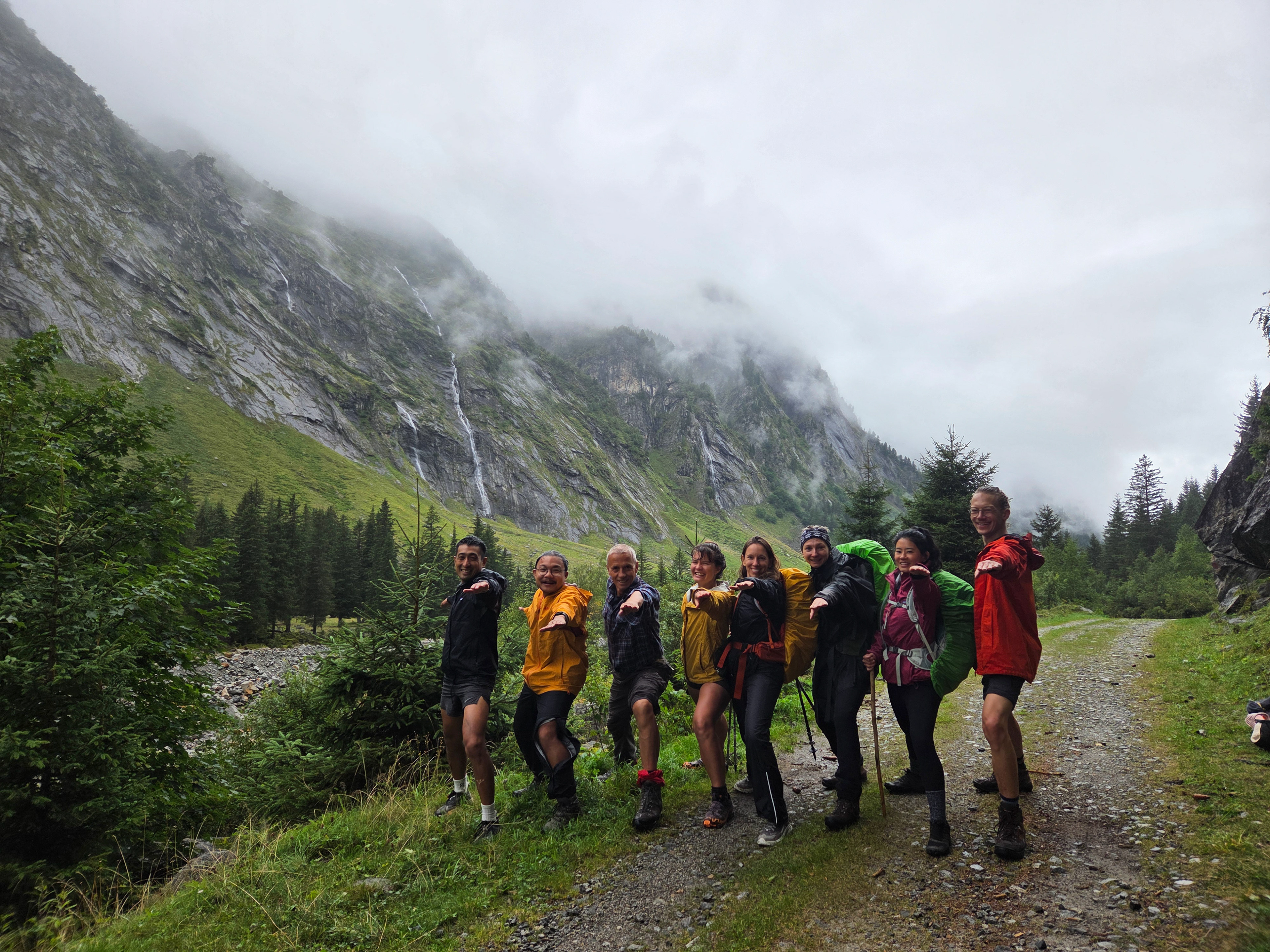
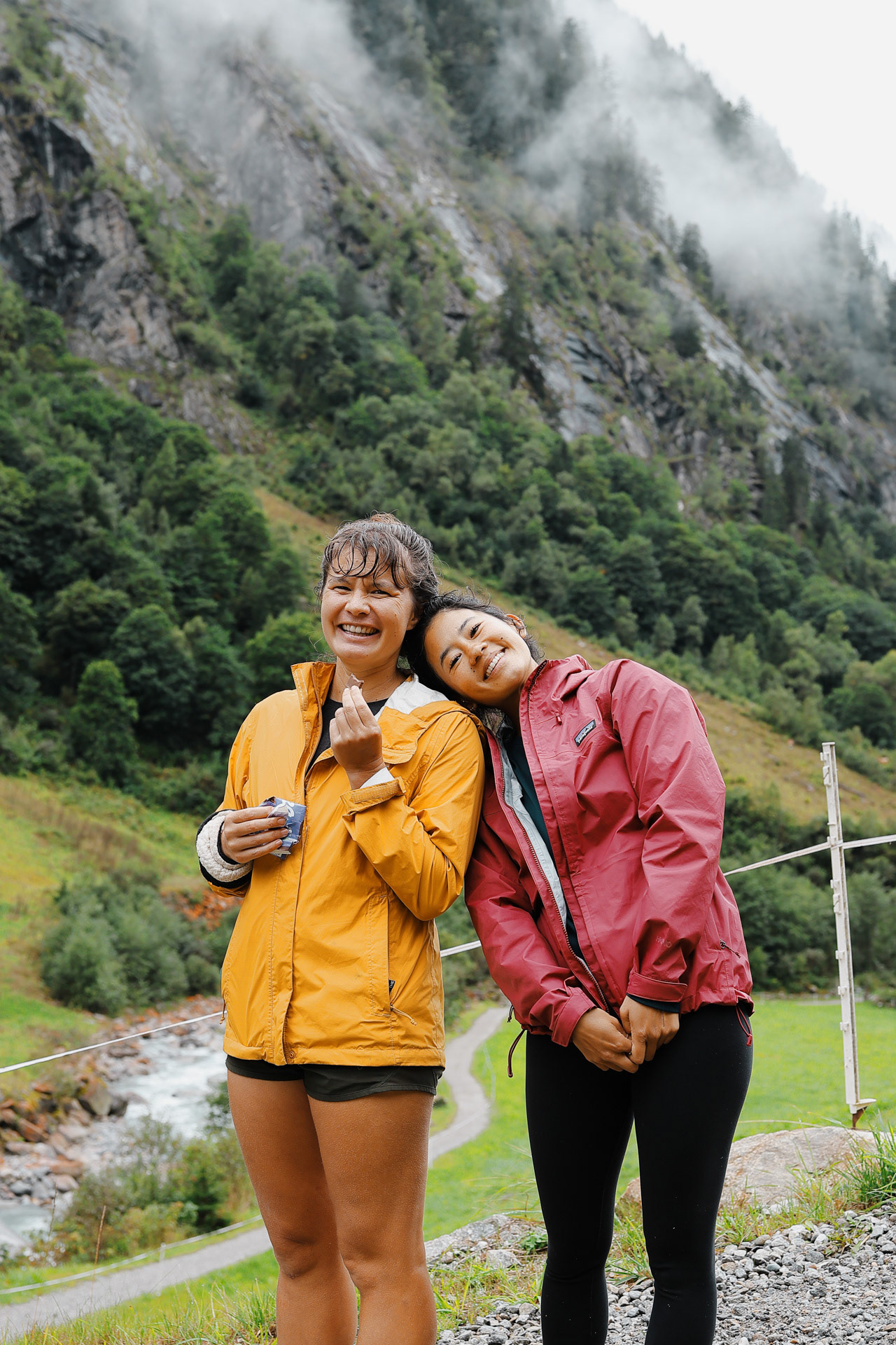
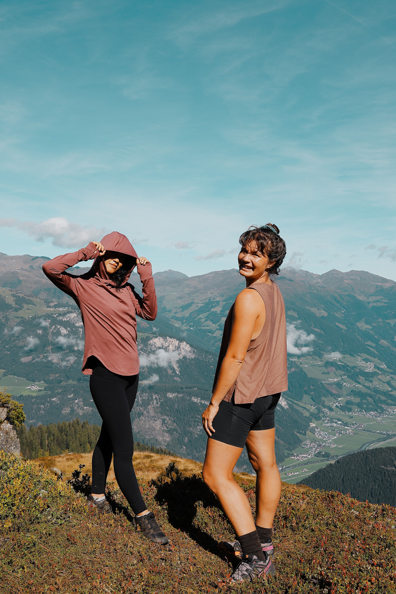
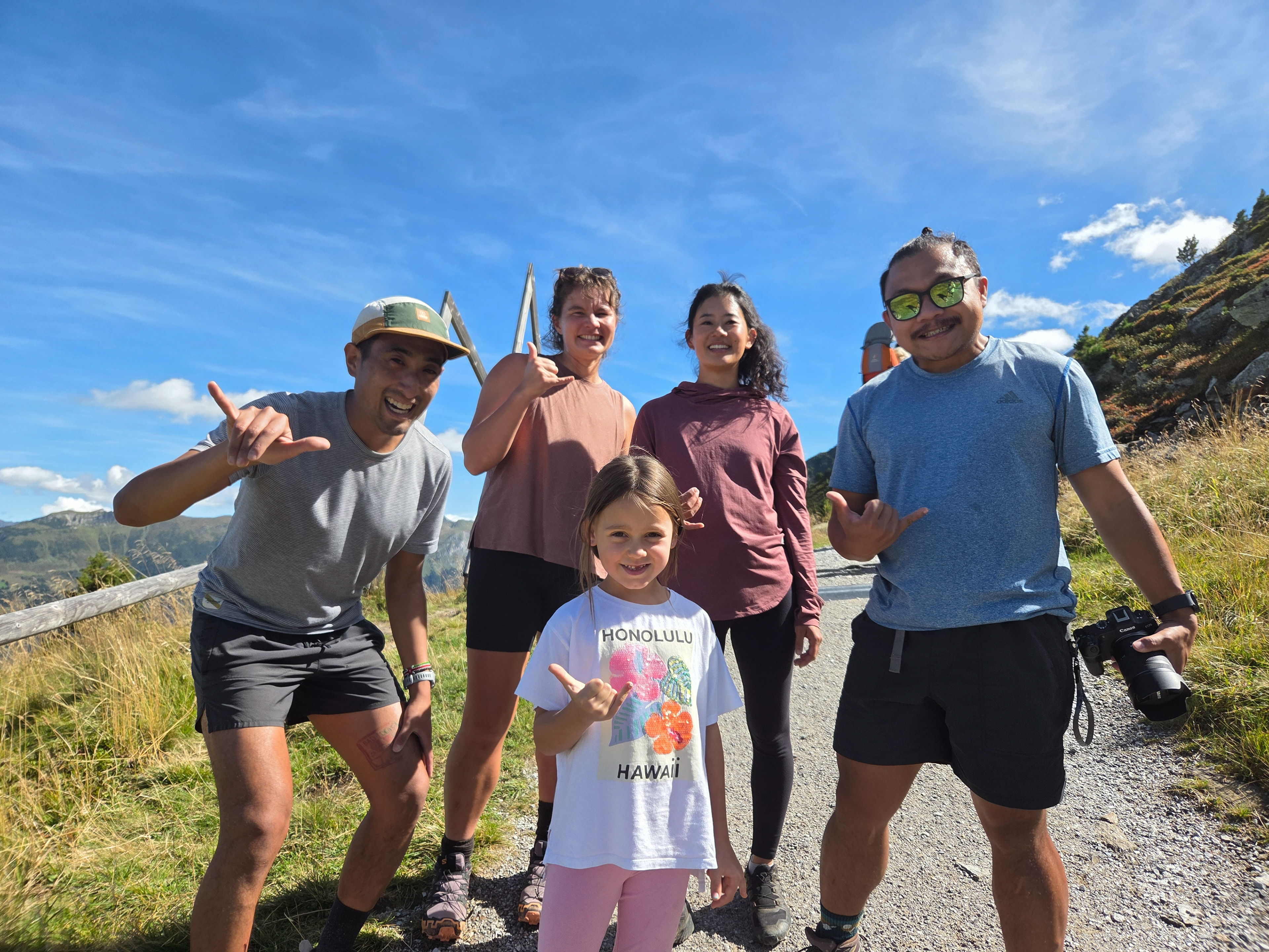
L-R: Einny, Morgan, Eva, Dan, Me! At the iconic Berliner High Trail suspension bridge.
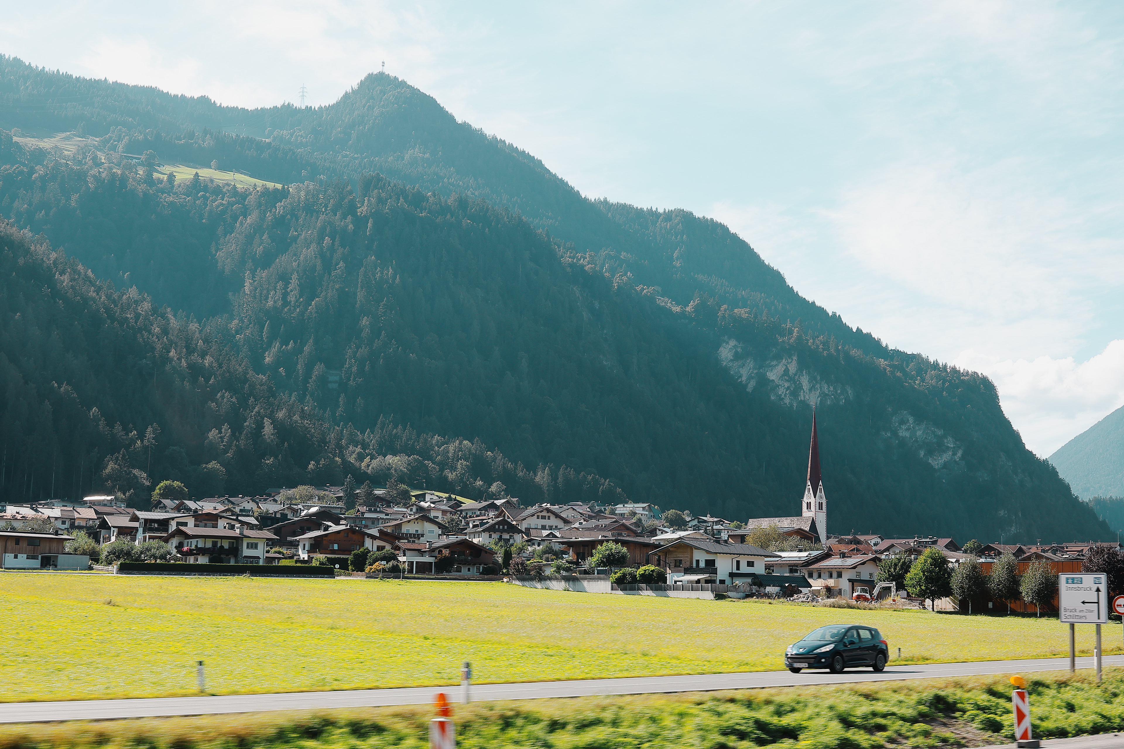
A town called Schlitters, the first town from Jenbach at the mouth of the Zillertal.
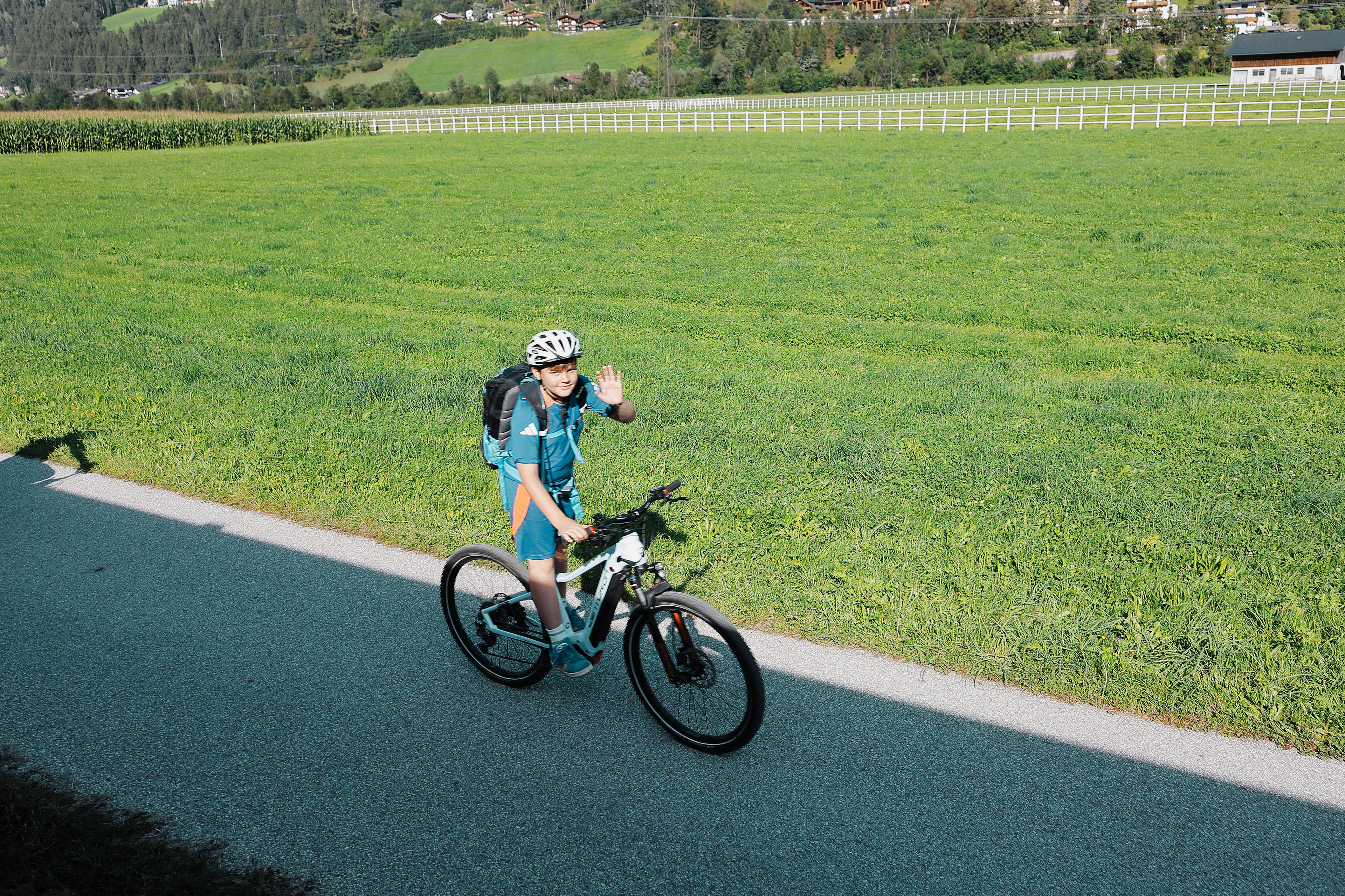
The Zillertalbahn is right beside a stream and a bike path, and the locals (or tourists) wave from their bikes or balconies when you pass.
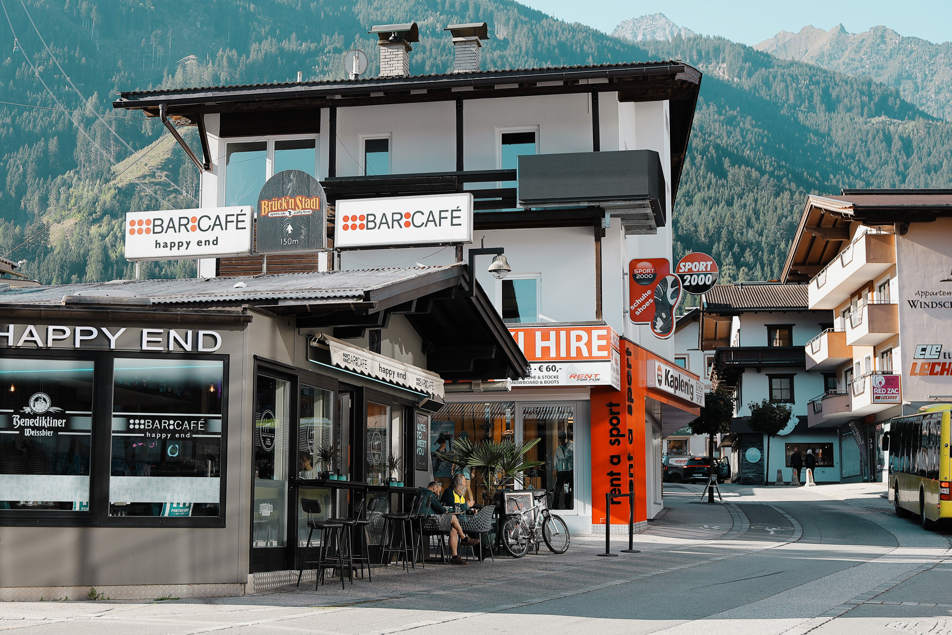
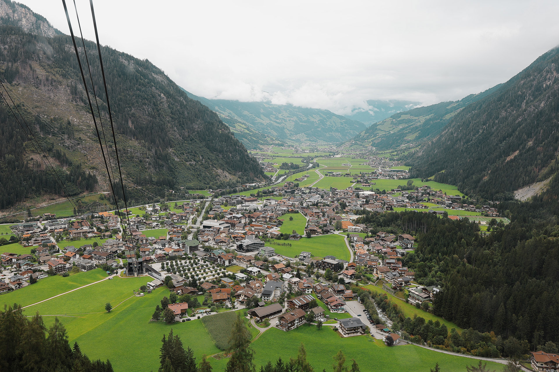
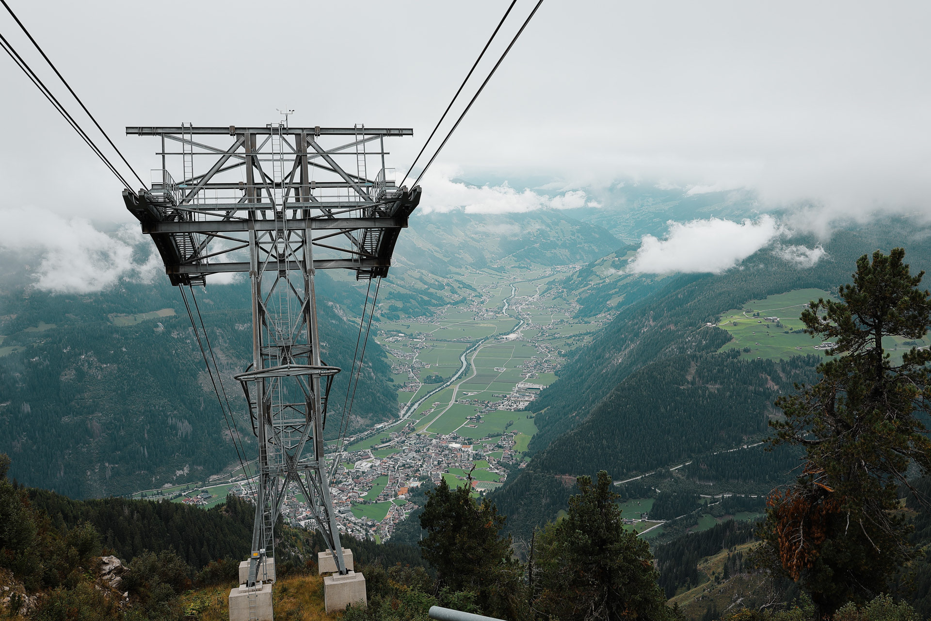
The main street of Mayrhofen is full of cafes, restaurants, and shopping. Stores include hiking, biking, skiing, and of course, gelato. From the middle of town there are two cable cars, the Ahornbahn (seen on the left side of this picture) and the Penkenbahn, both of which we end up riding on this trip.
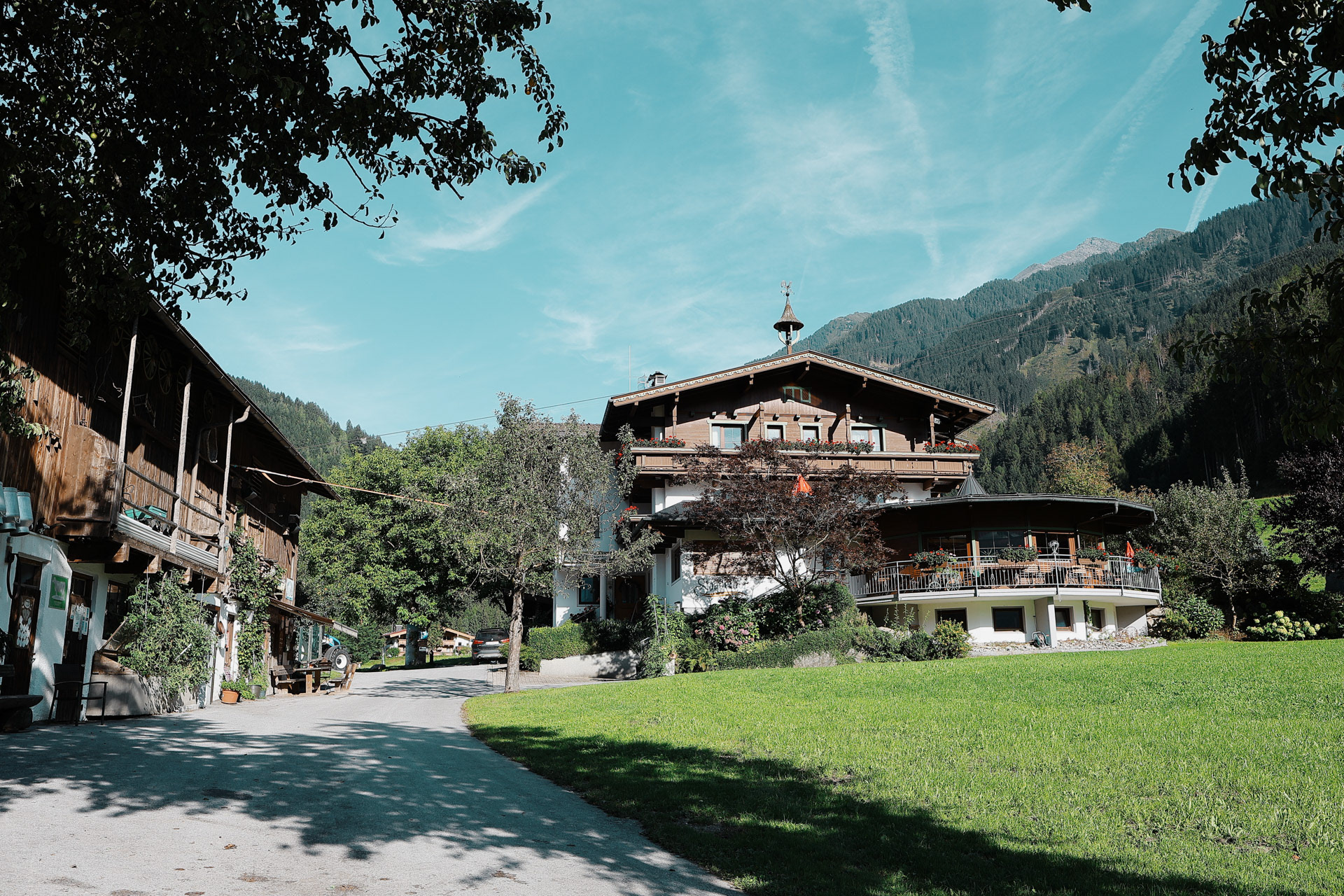
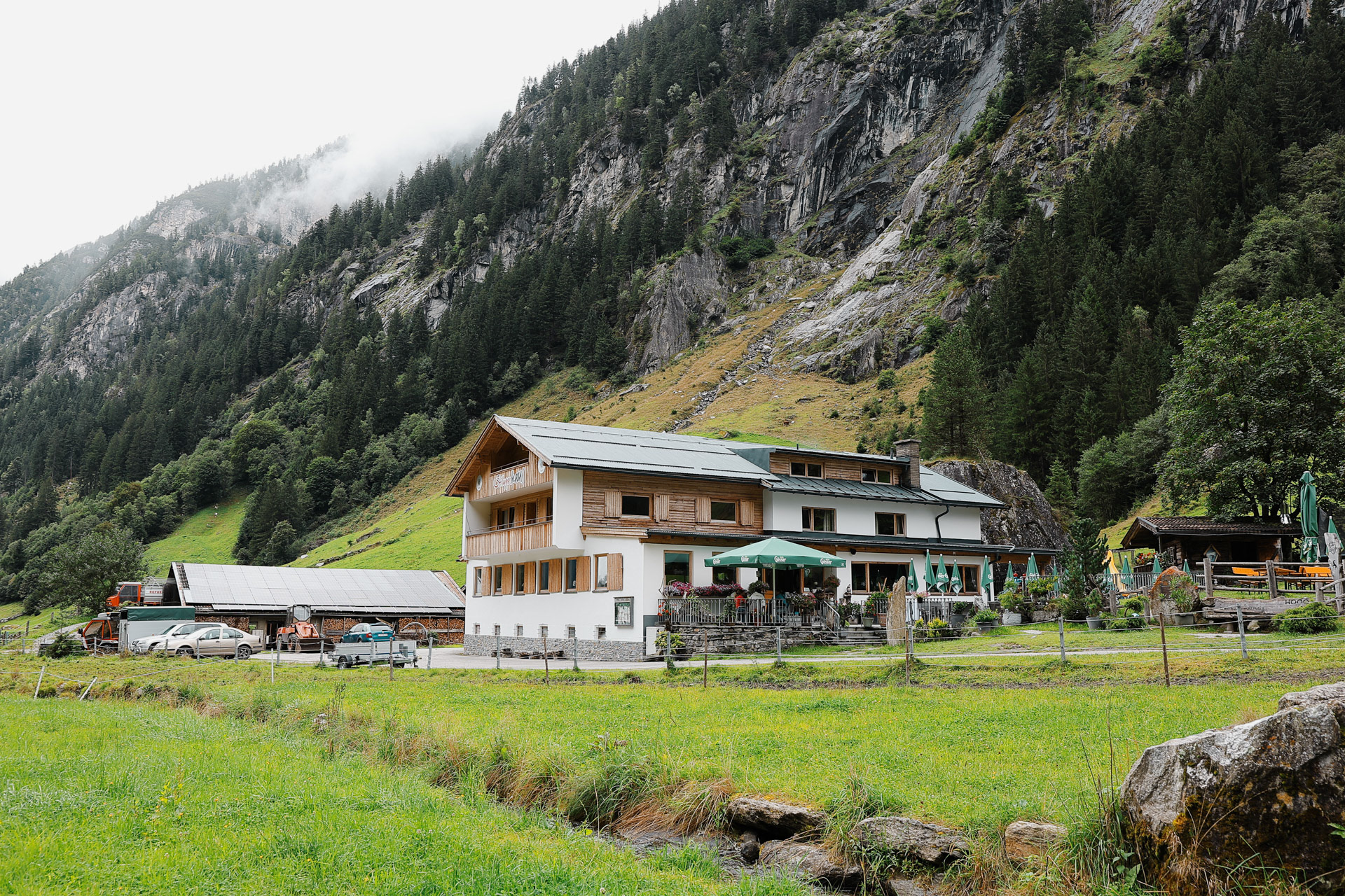
For the one night we are in town, we stayed at this hotel that's more of a farm house (a very nice farmhouse) at the edge of town. It's called Stoanerhof and they really do farming and they also have a restaurant that you reach by walking 200 meters through an open grass field.
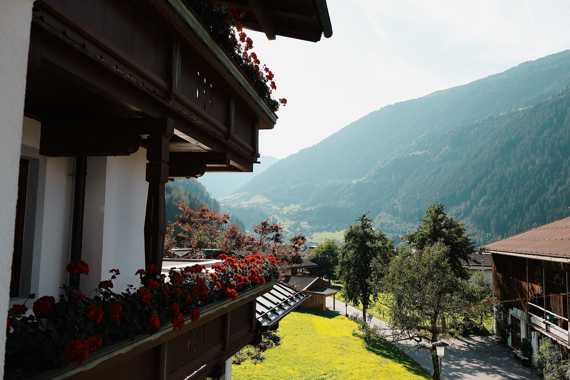
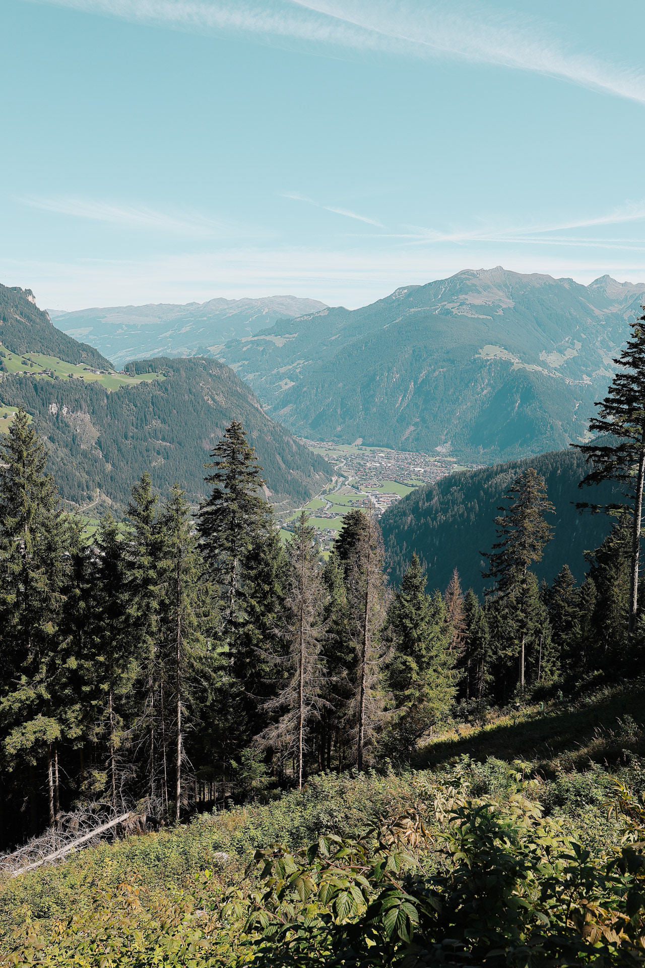
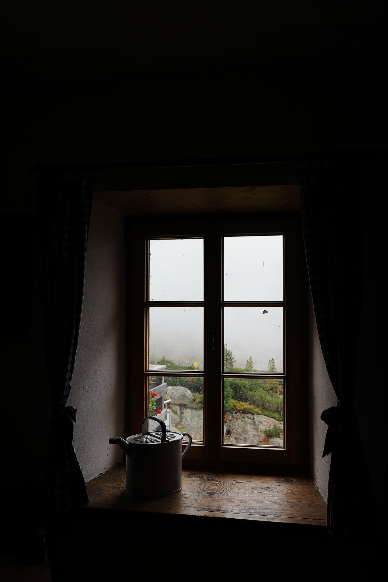
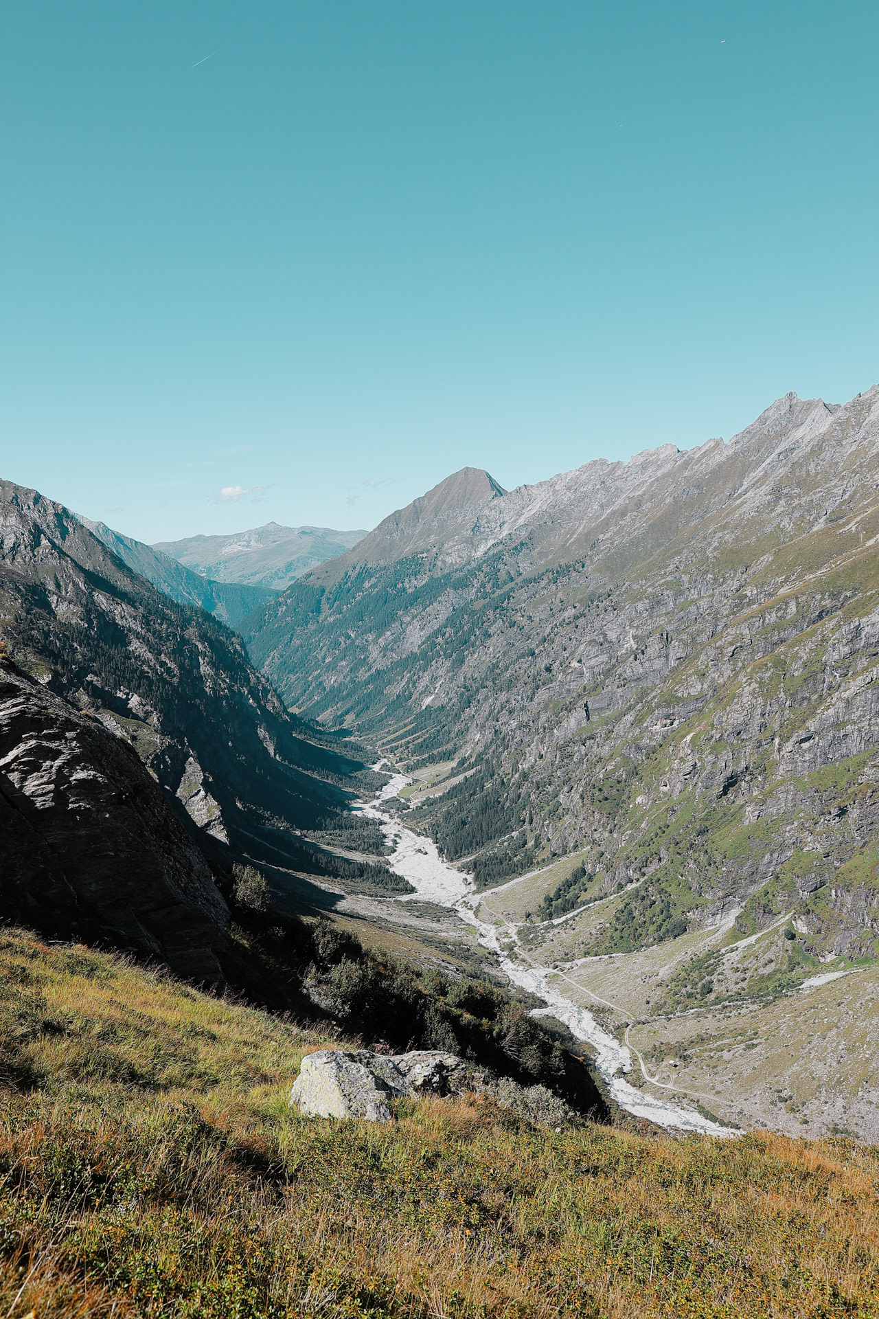
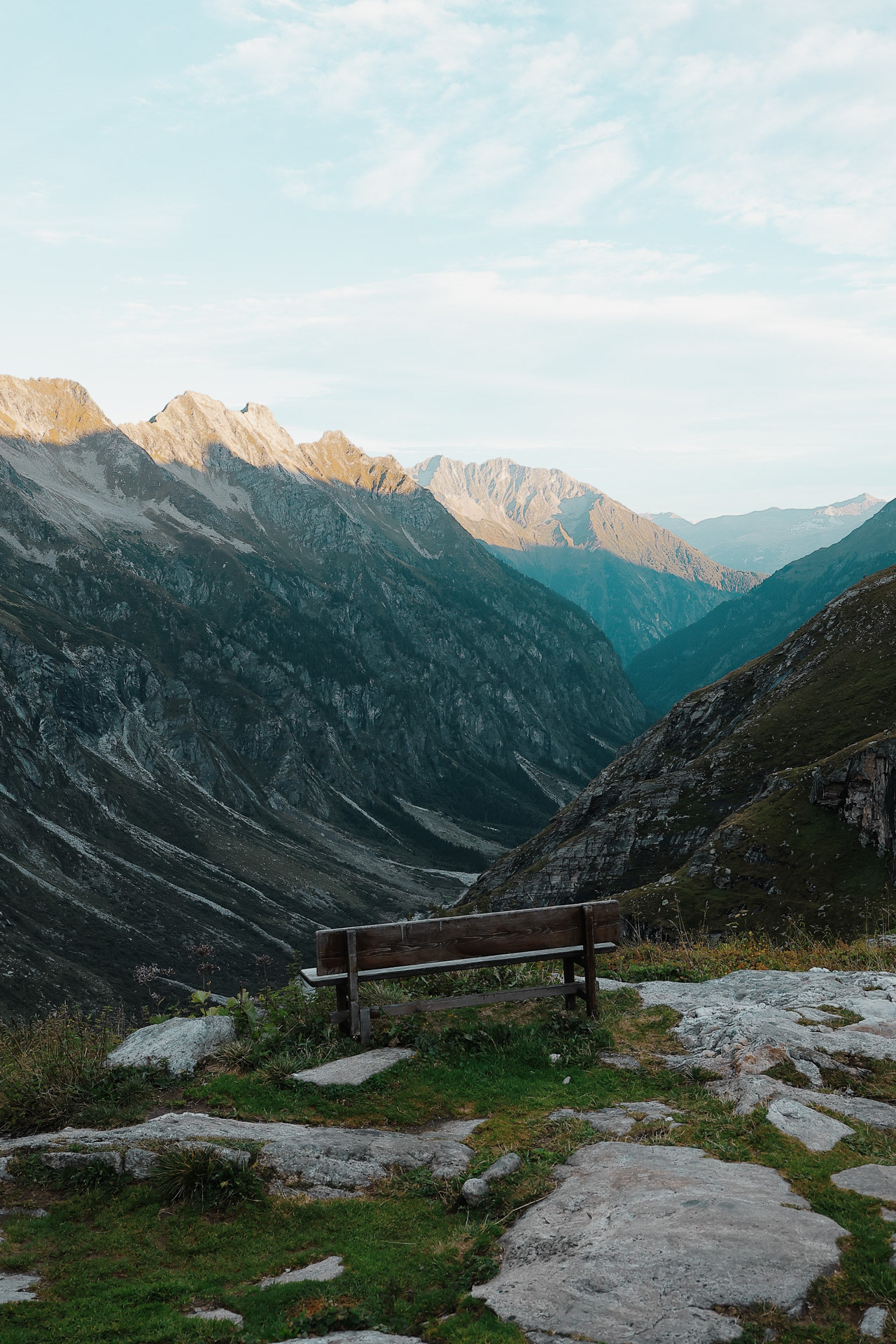
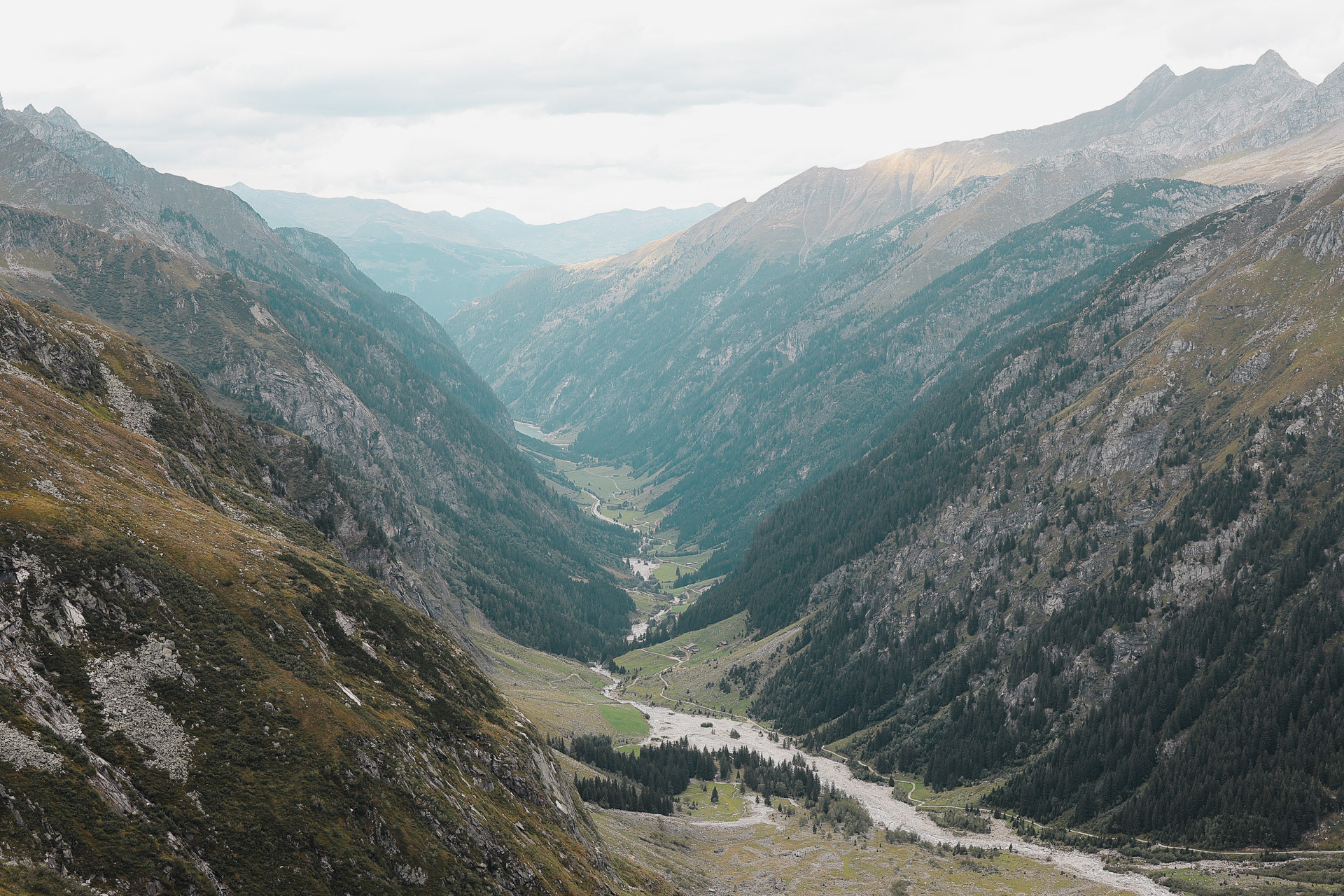
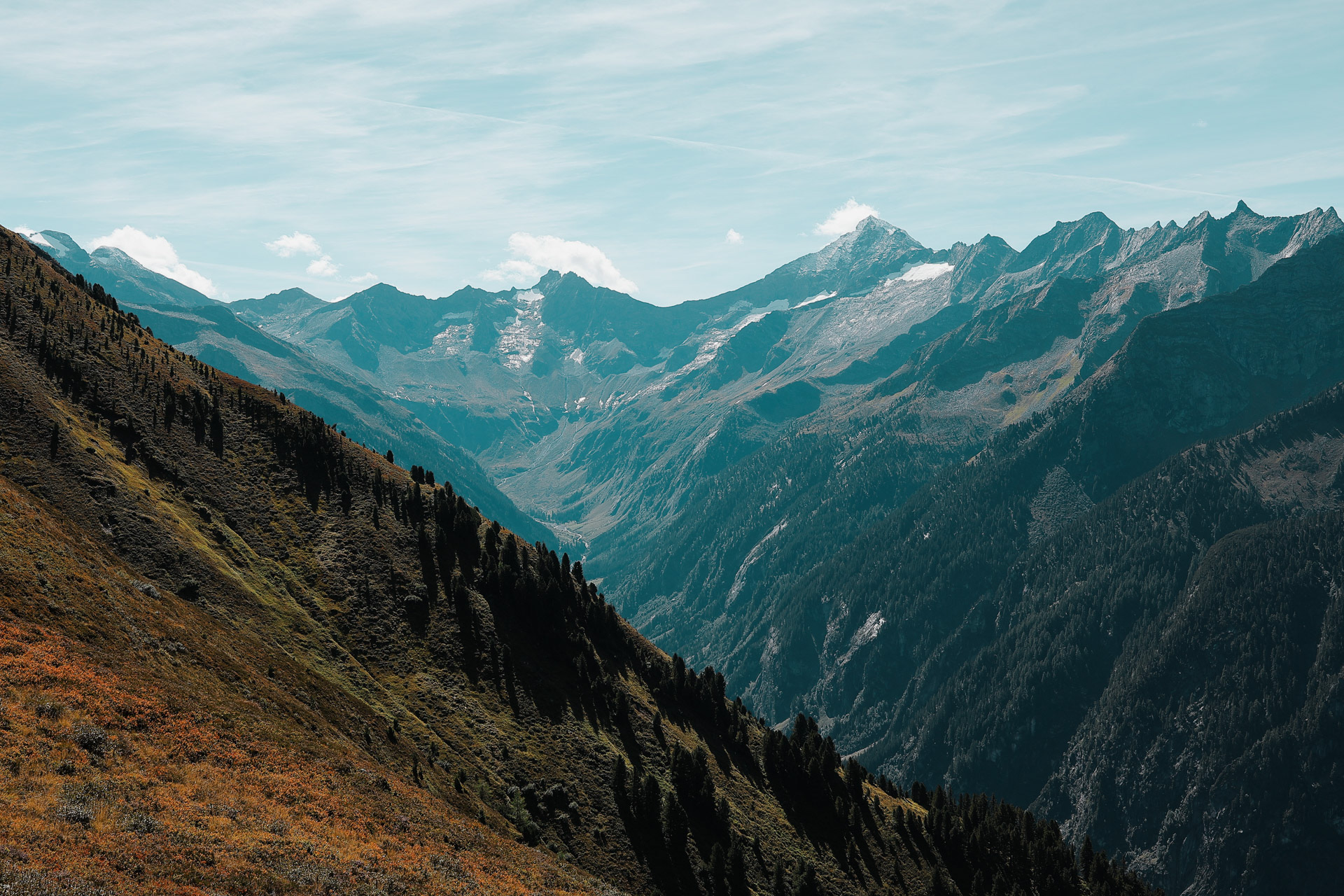
The view from our room. You can see deeper into the Ziller valley and a glimpse of Finkenberg, the next town over where the hike starts.
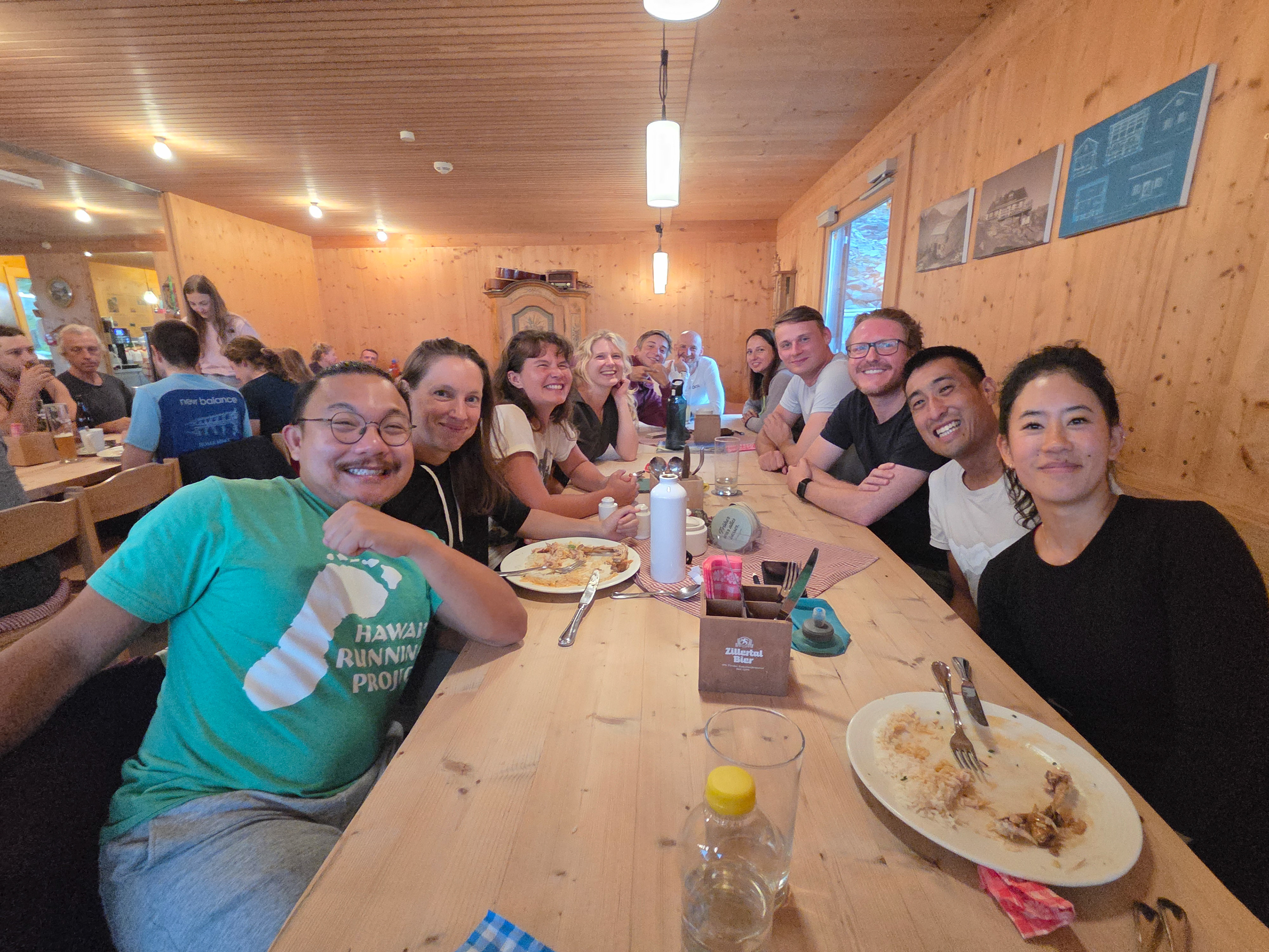
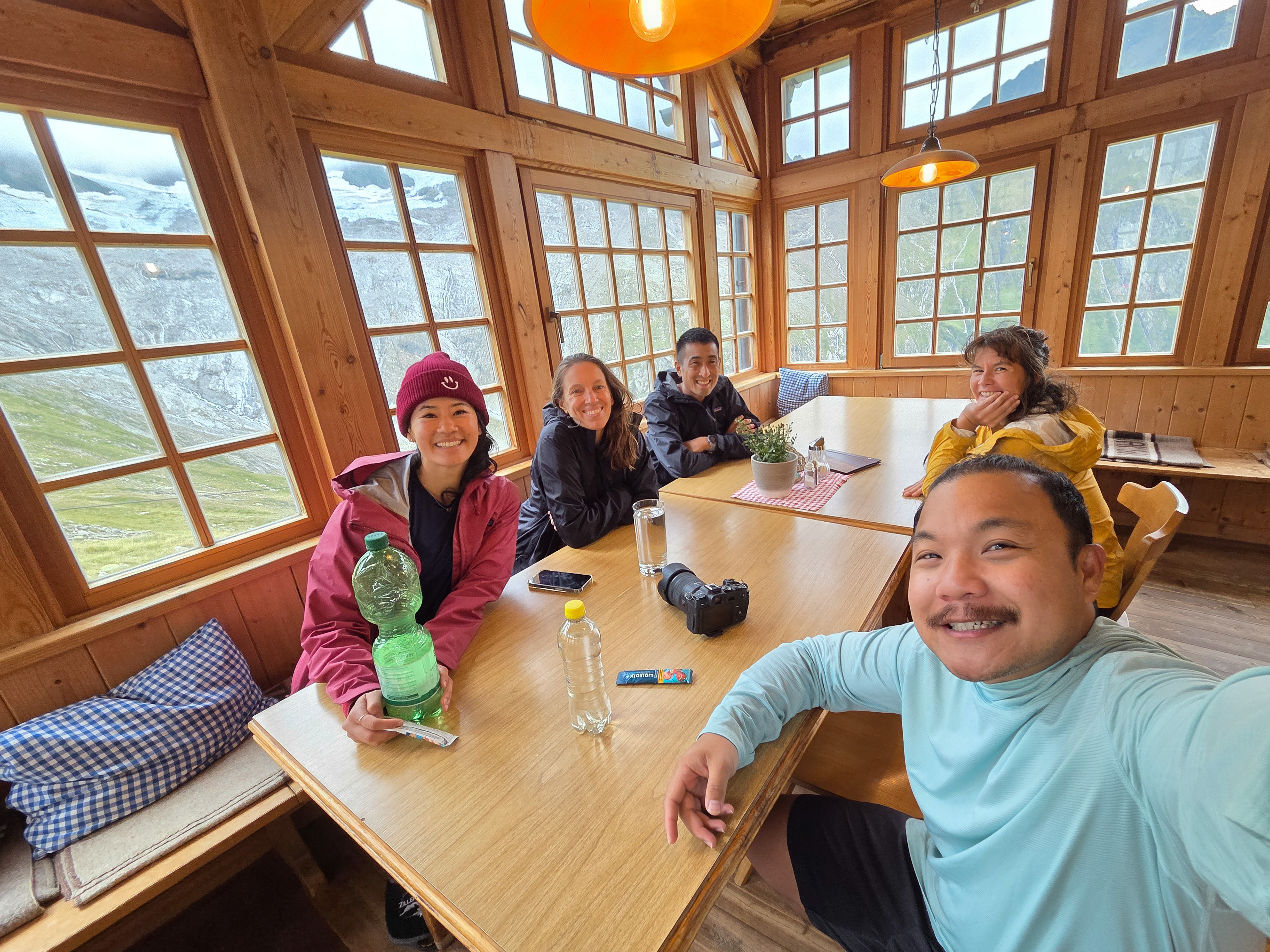
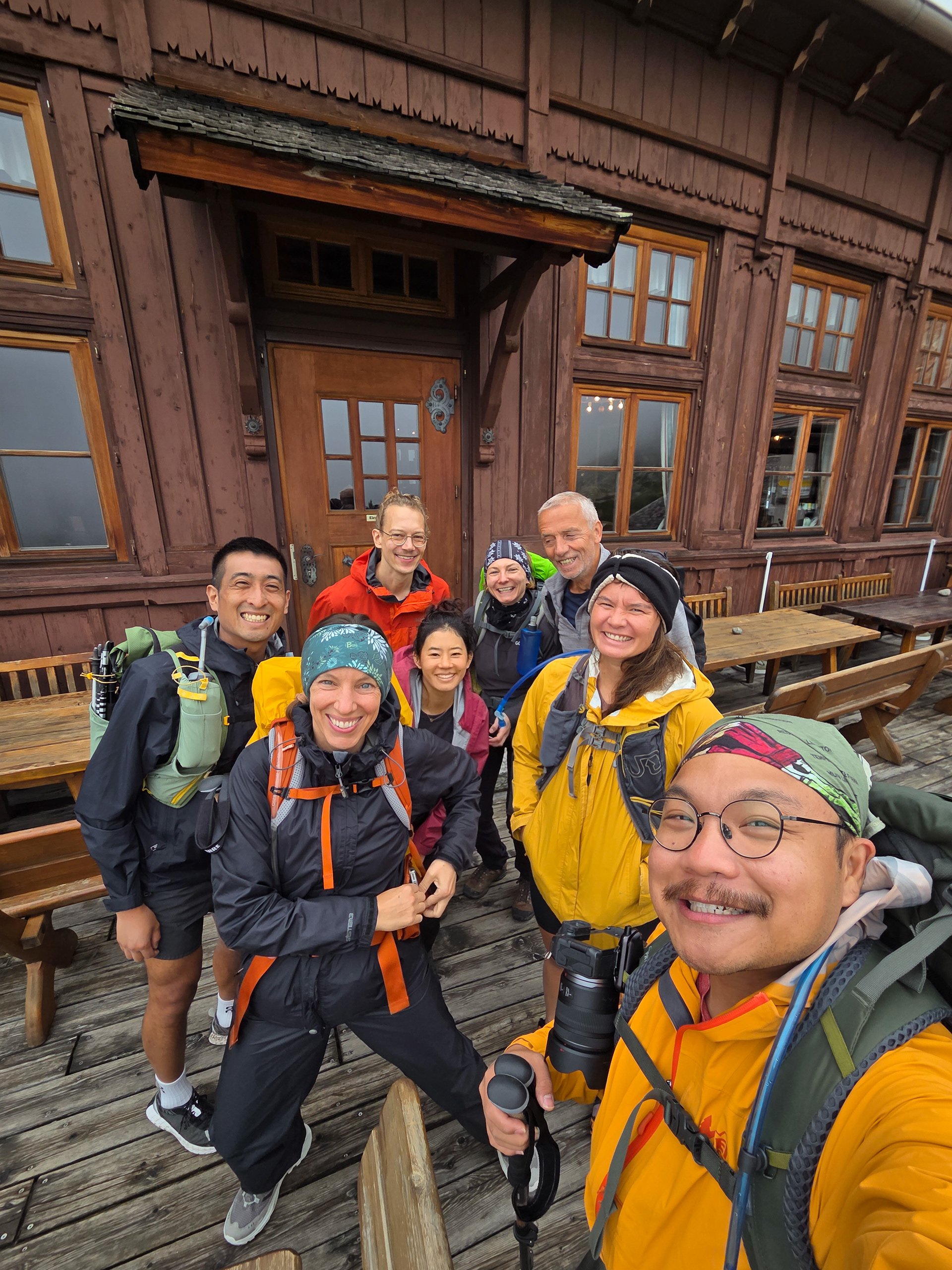
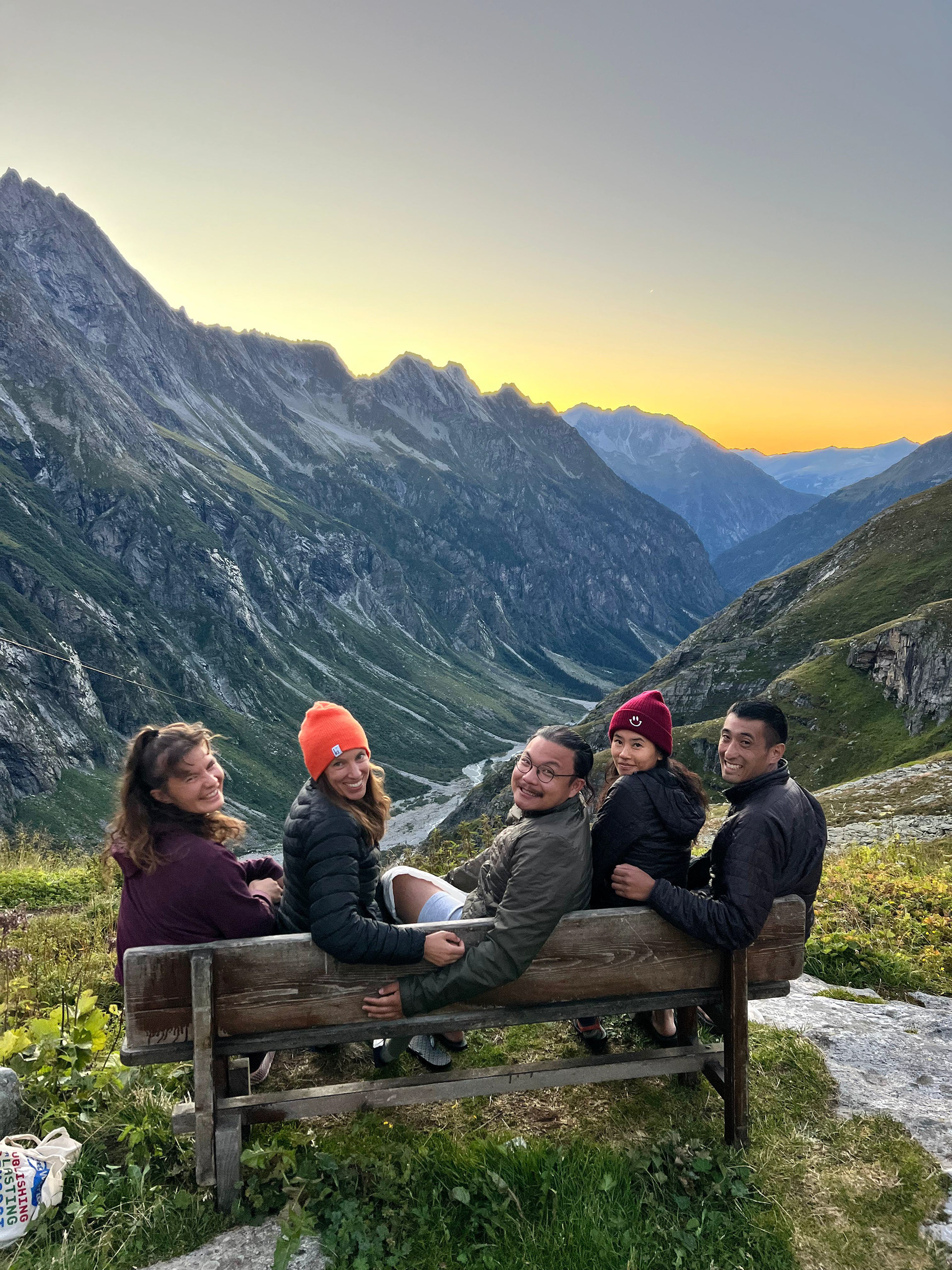
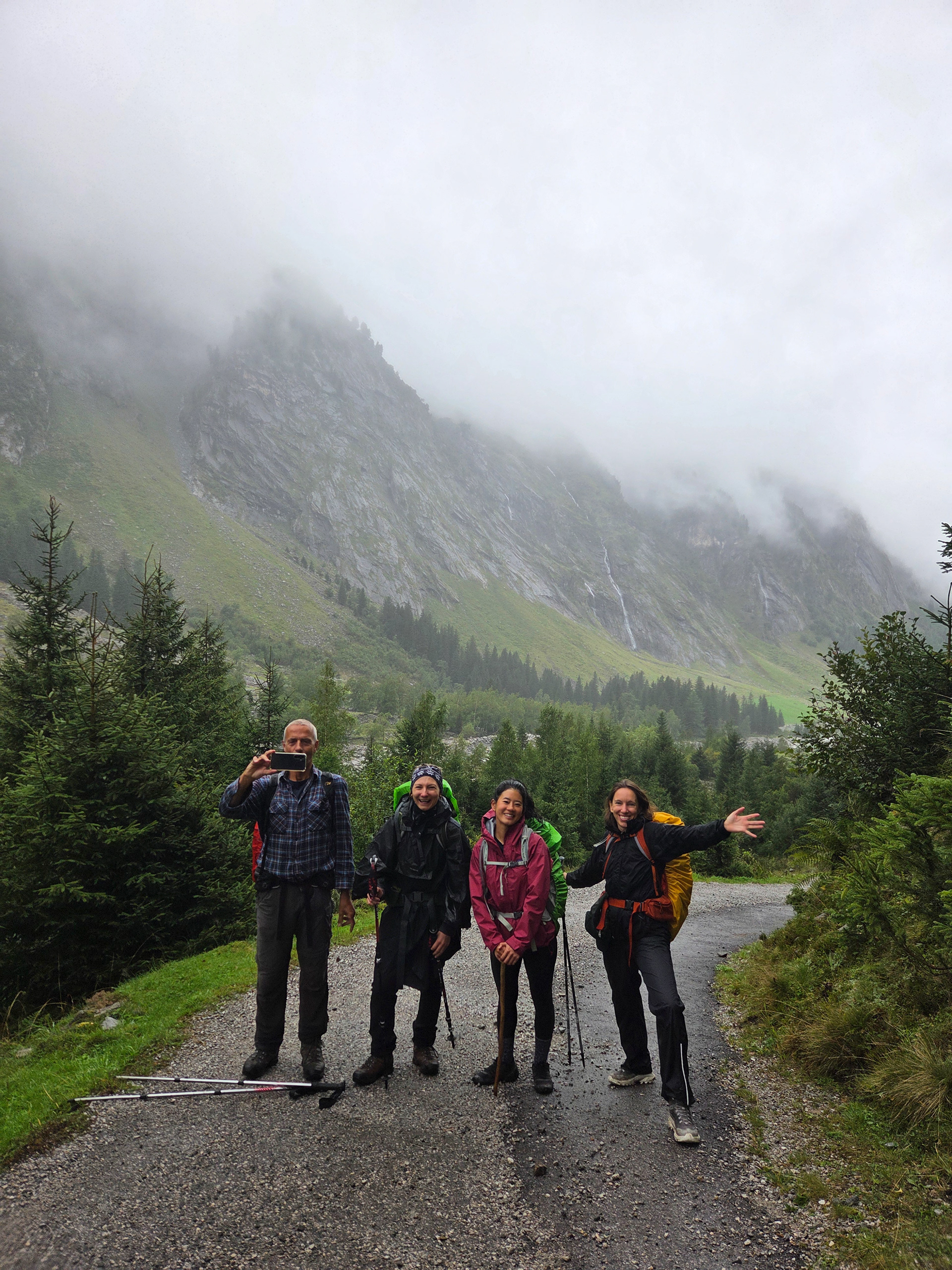
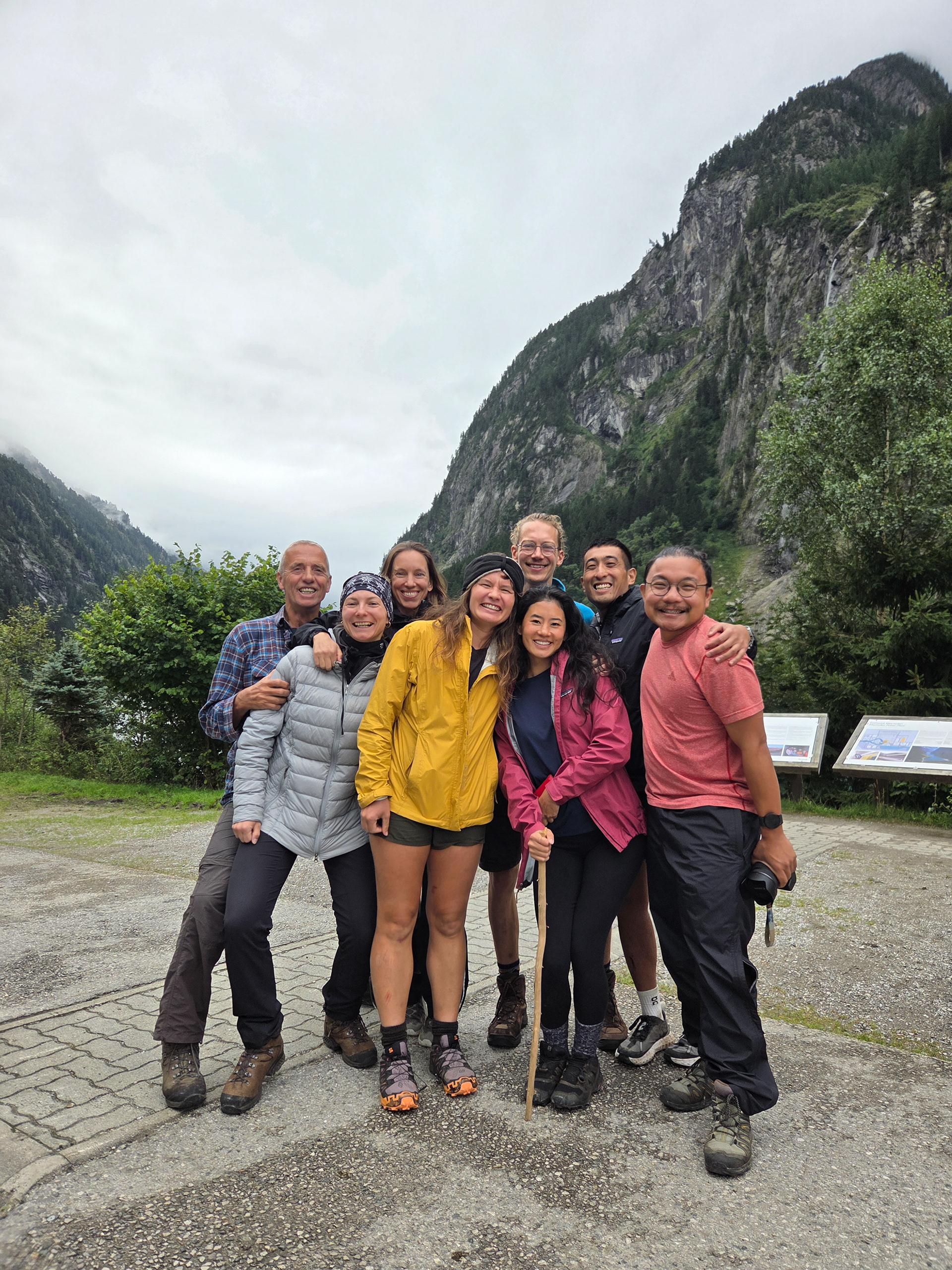
The group finally meeting for the first time! L-R Eva, Dan, Morgan, Einny. And of course, yours truly, behind the lens.
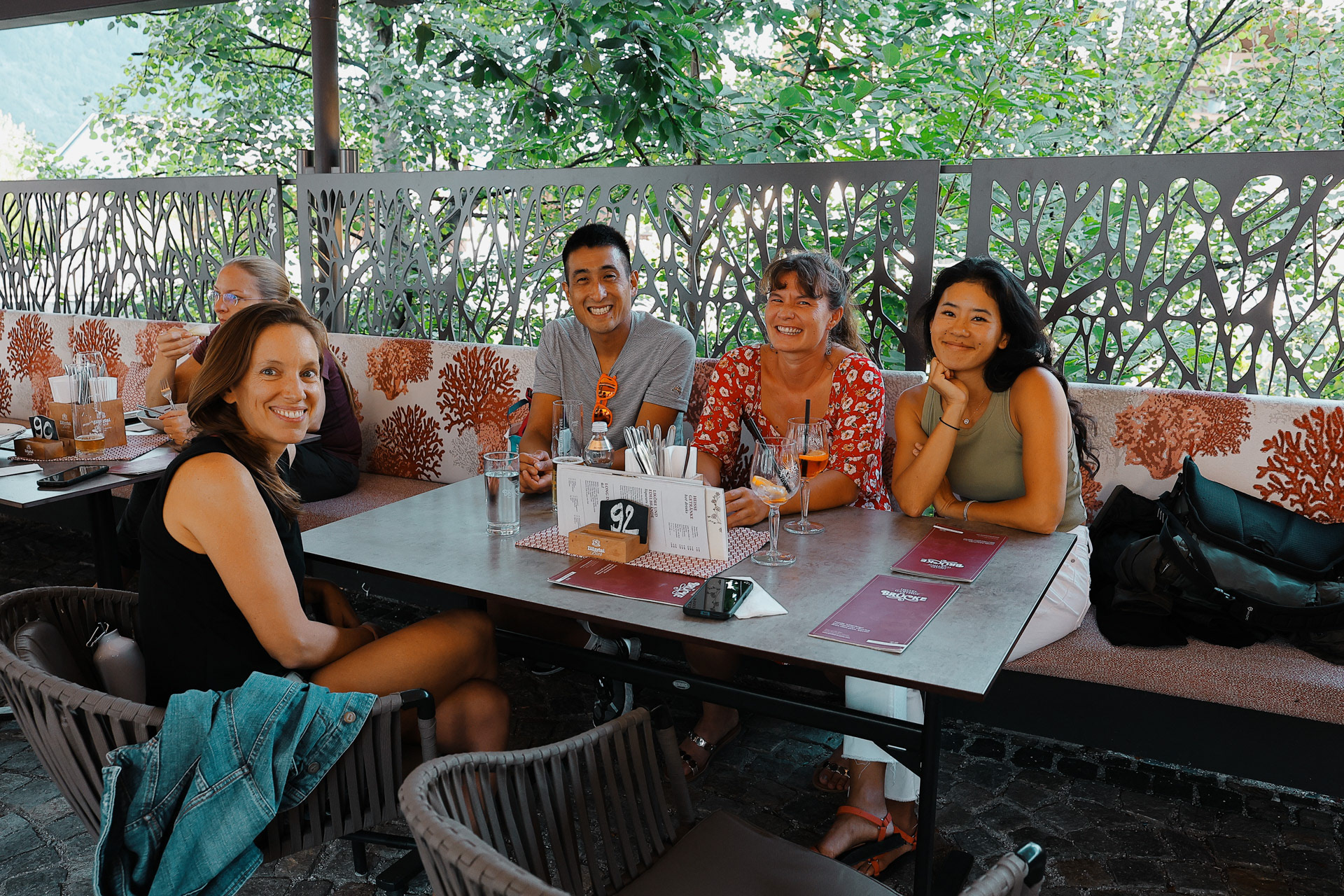
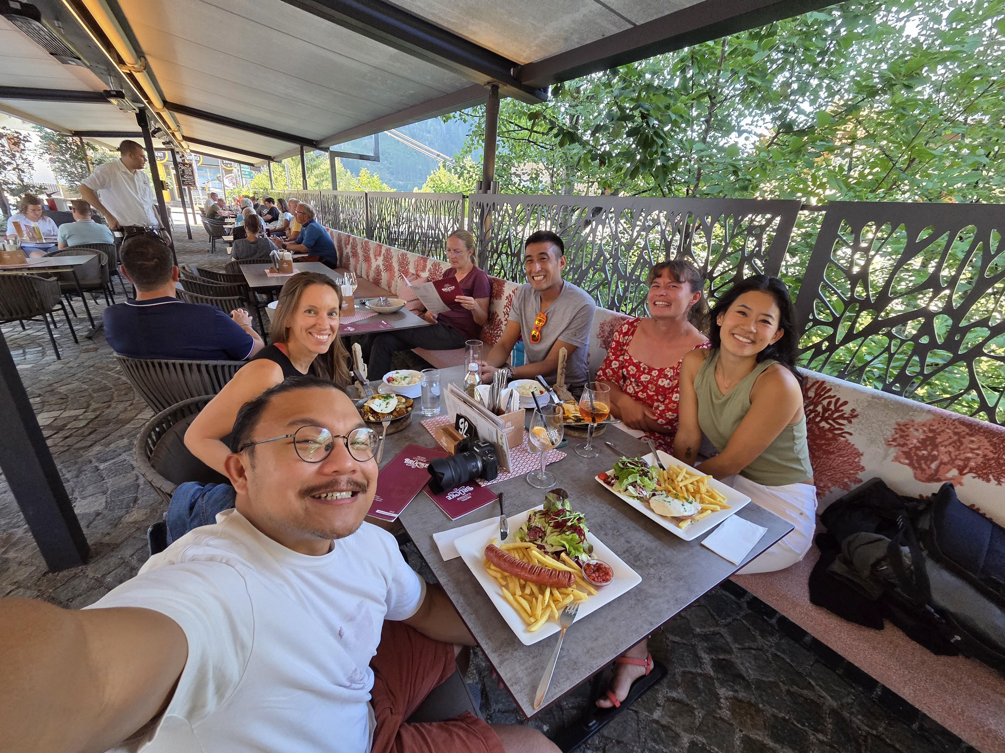
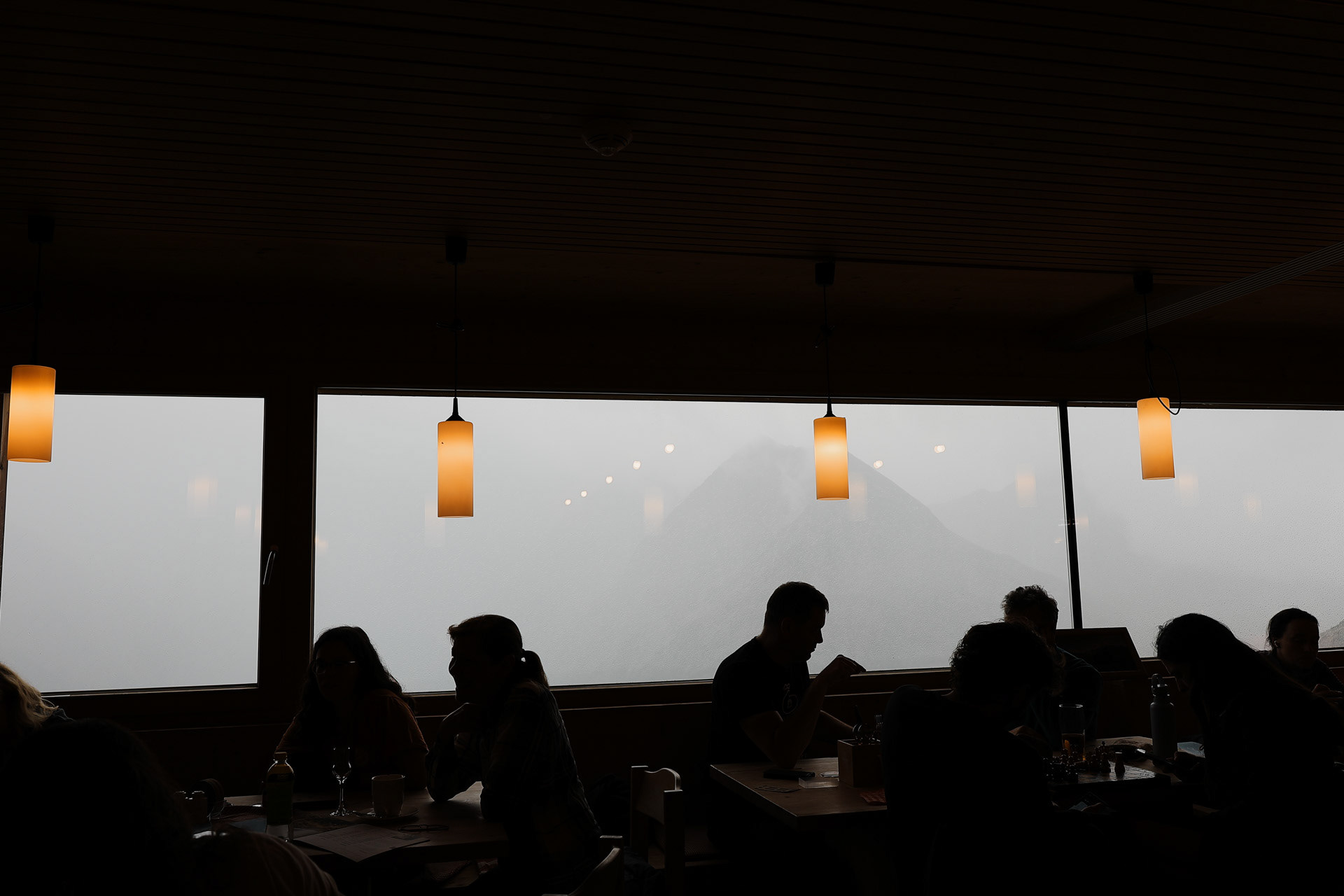
One of the hotels that dot Mayrhofen's main street. I liked the seemingly mishmashed design of this one. You can see the outside area where we ate in front of the hotel, right above the railing.
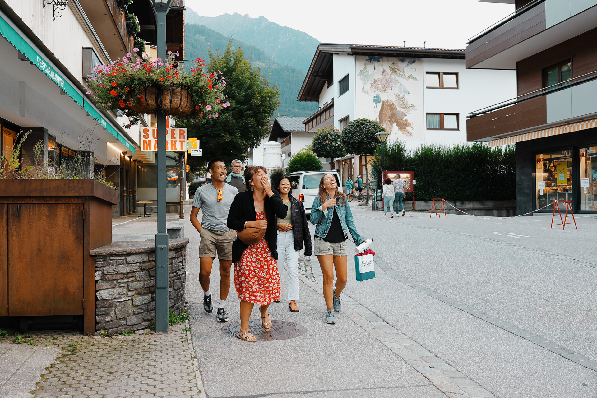
A walk down main street with the gang laughing at something I didn't hear. Guy in the back does not find it amusing.
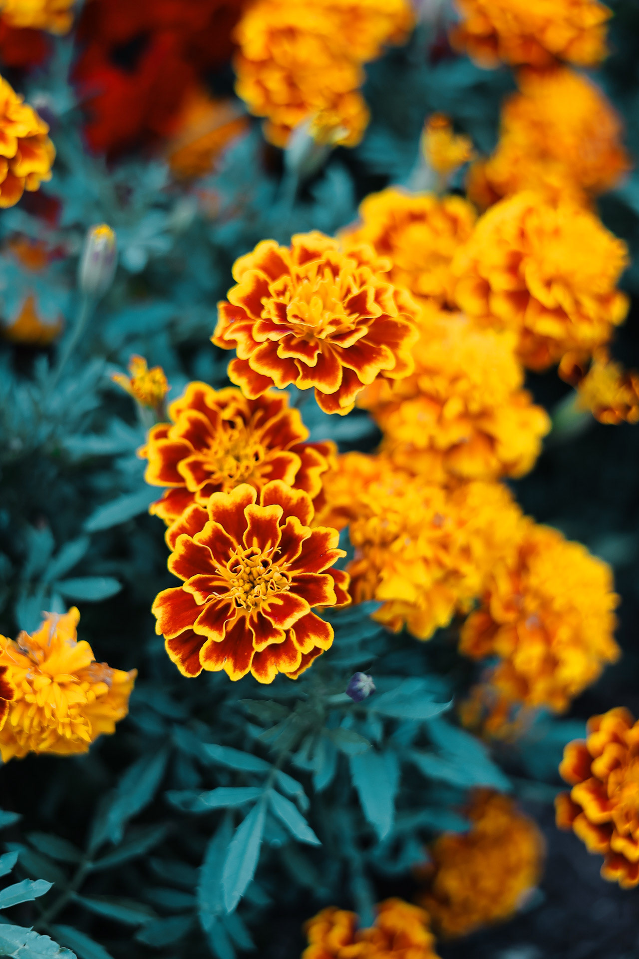
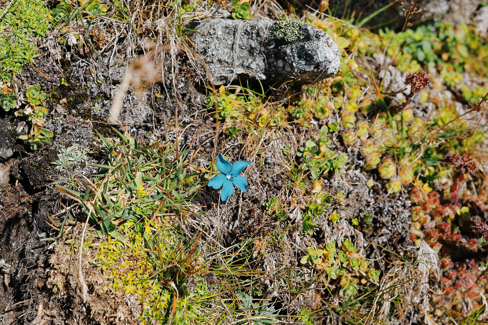
Marigolds in a flower bed.
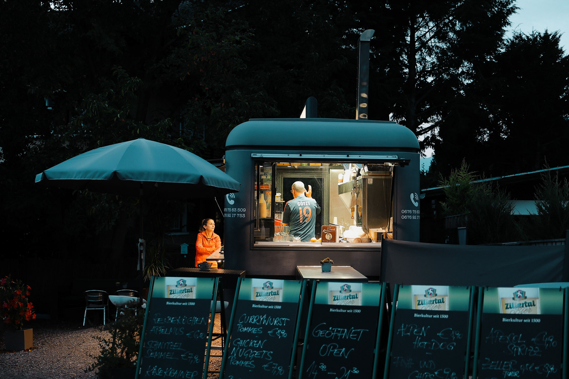
A night street scene.
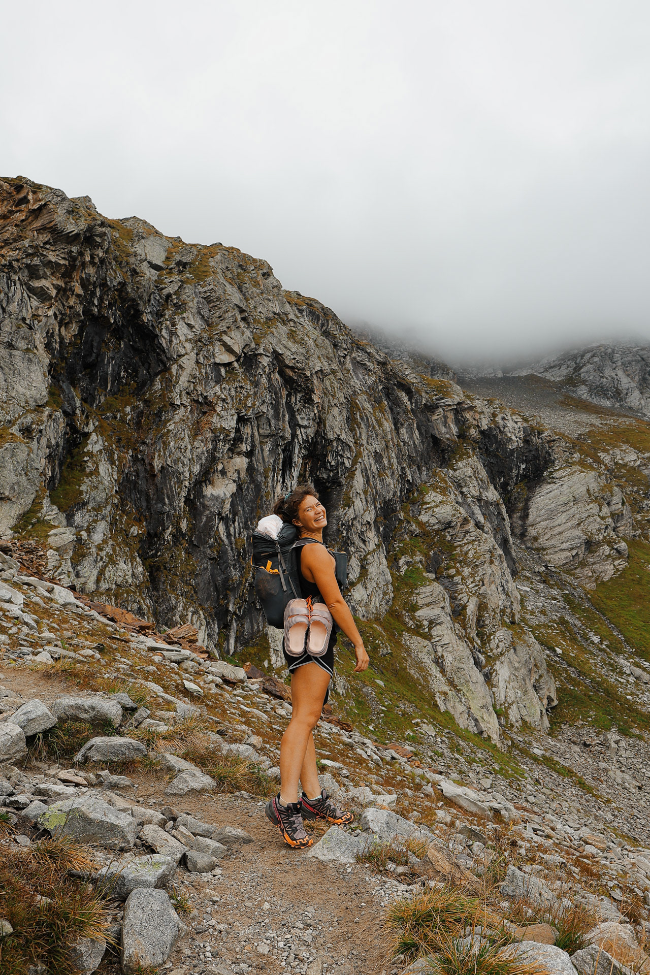
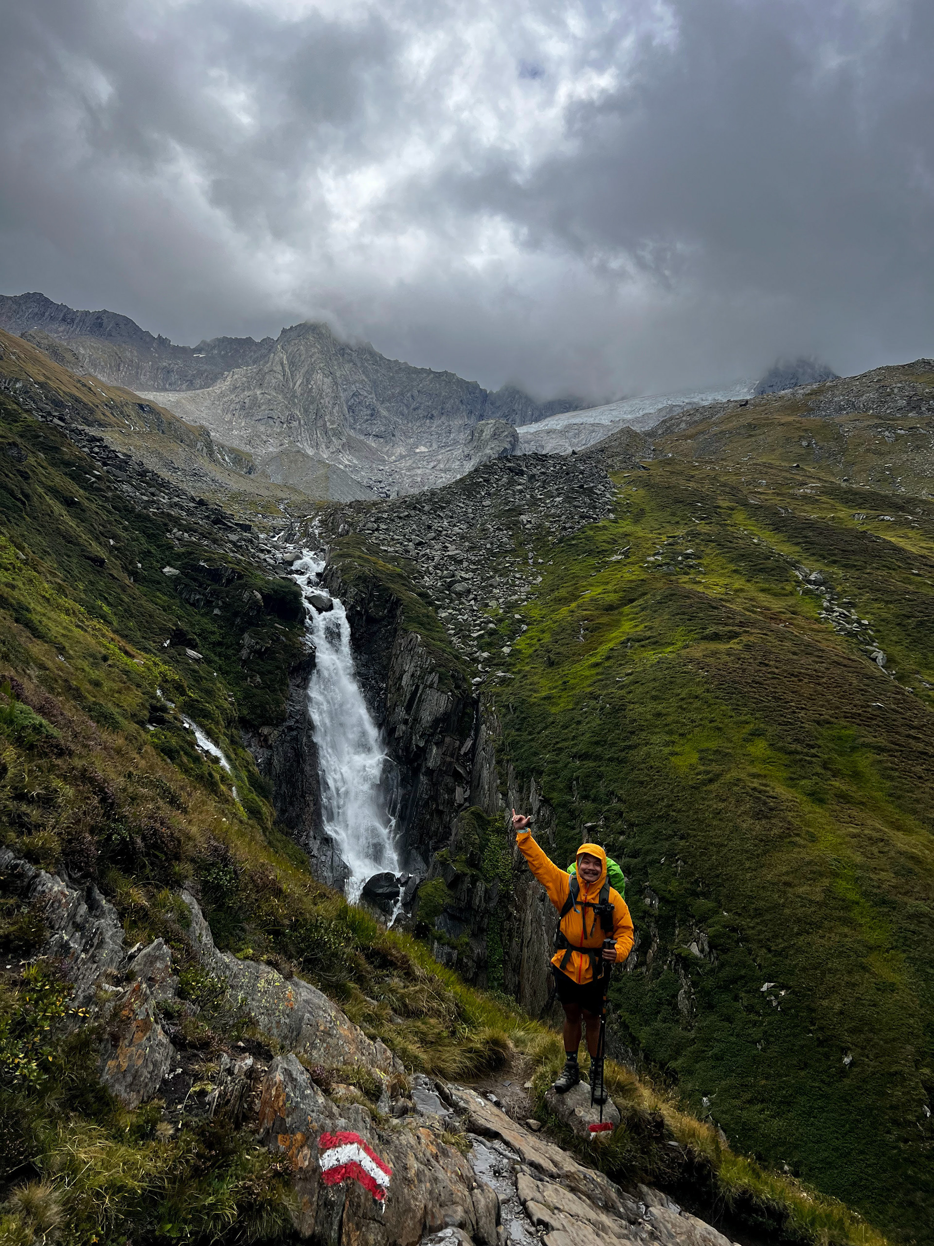
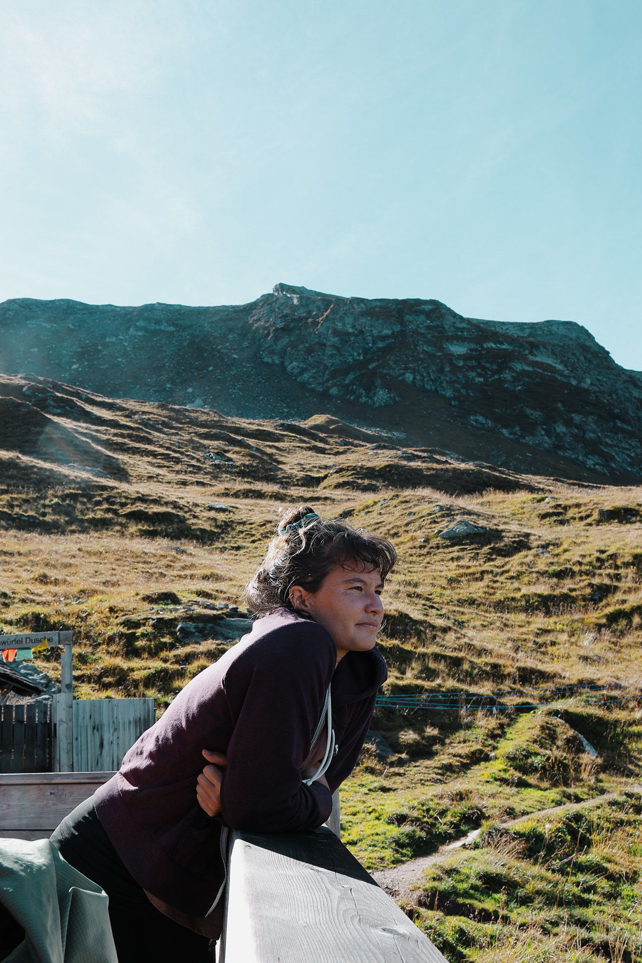
The Gamshütte is reached via the Hermann Hecht Trail. Ascent 1000 m, walking time approximately 3 hours. -Wiki
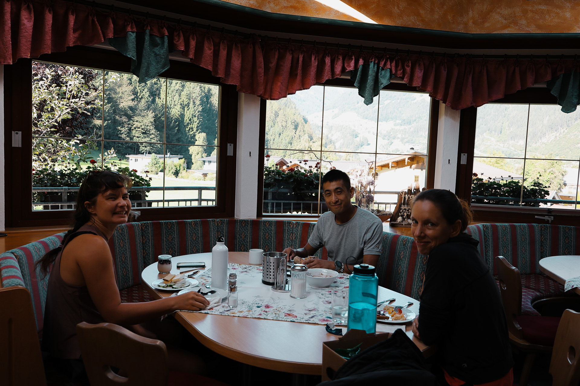
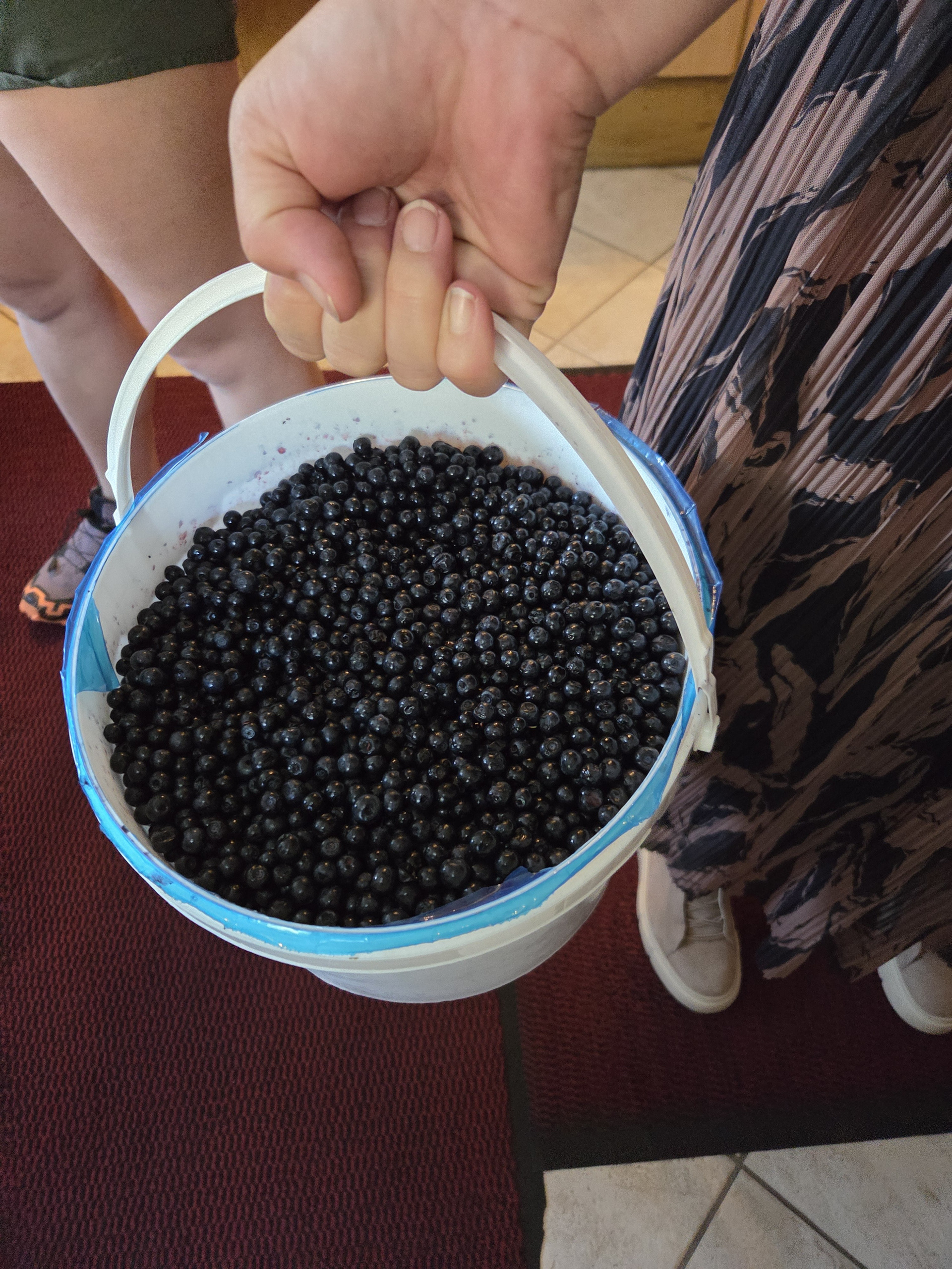
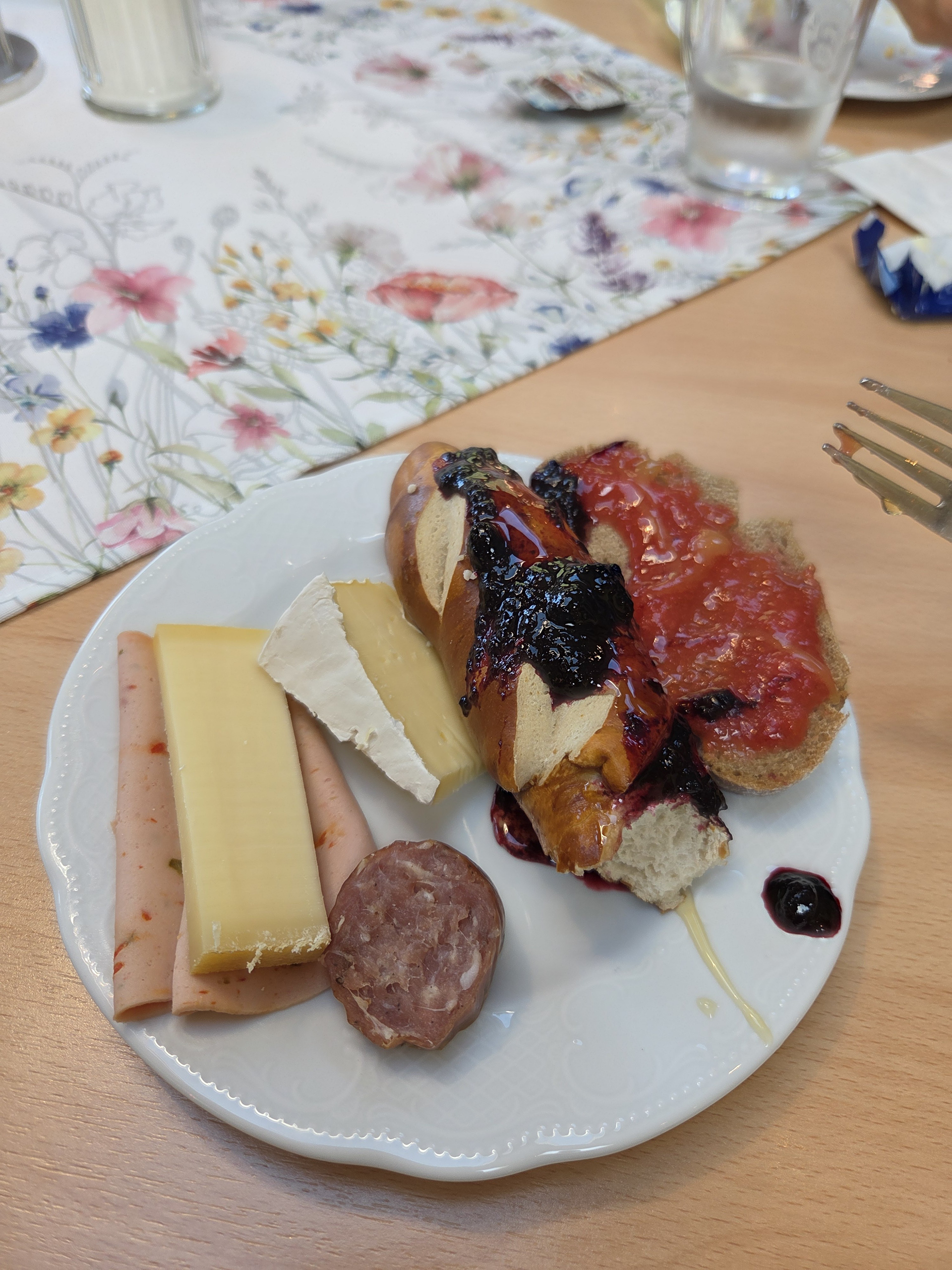
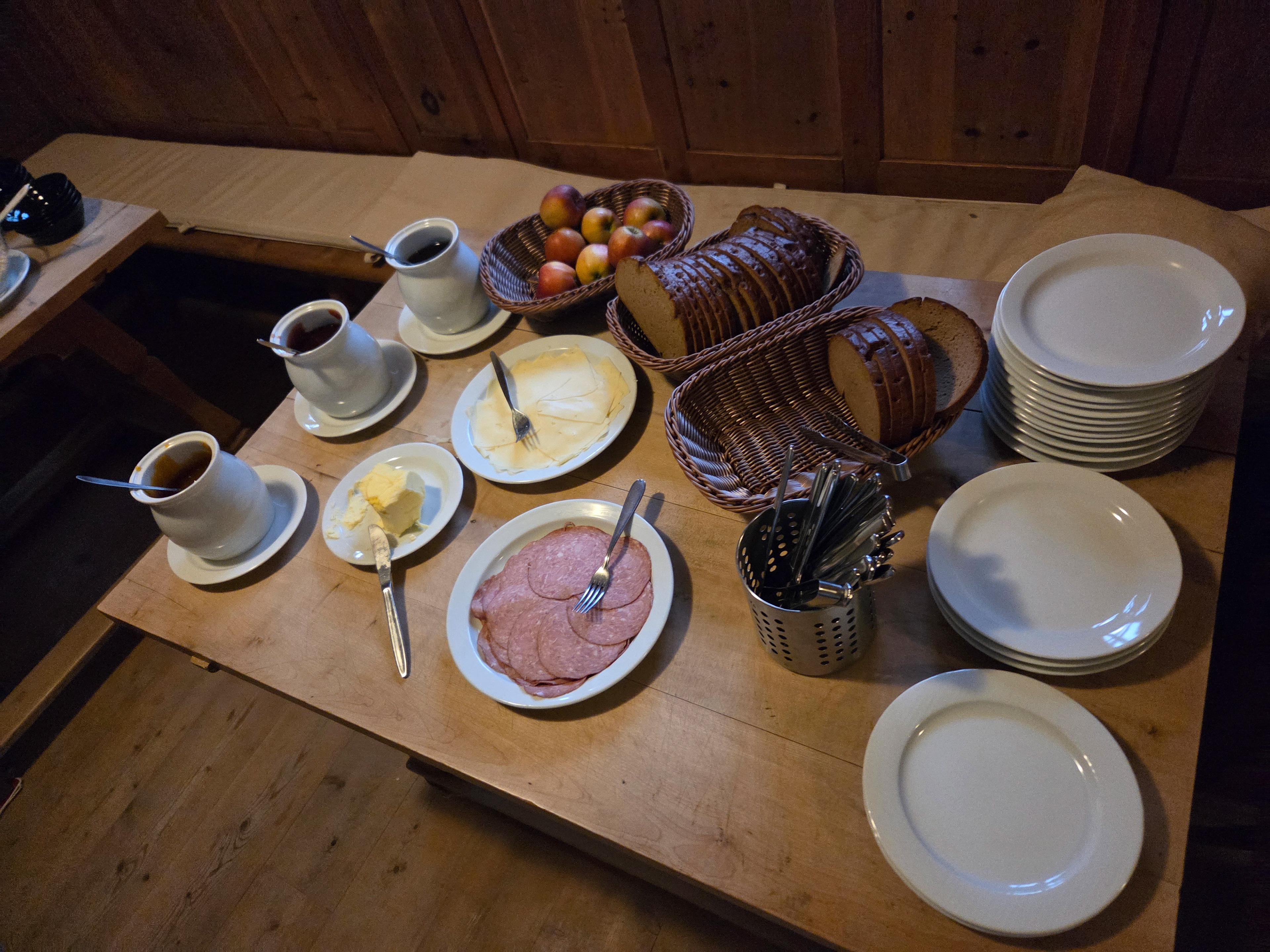
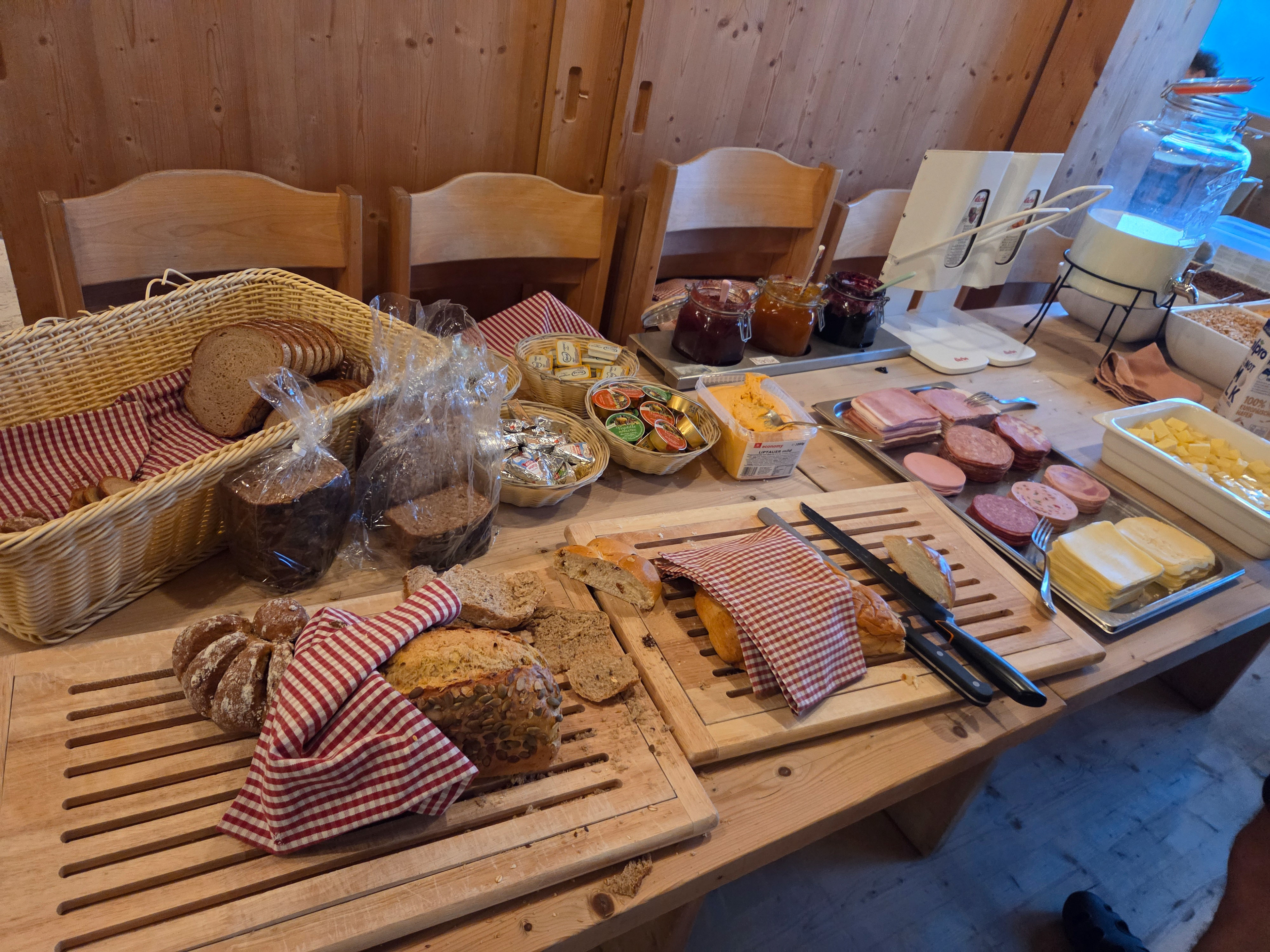
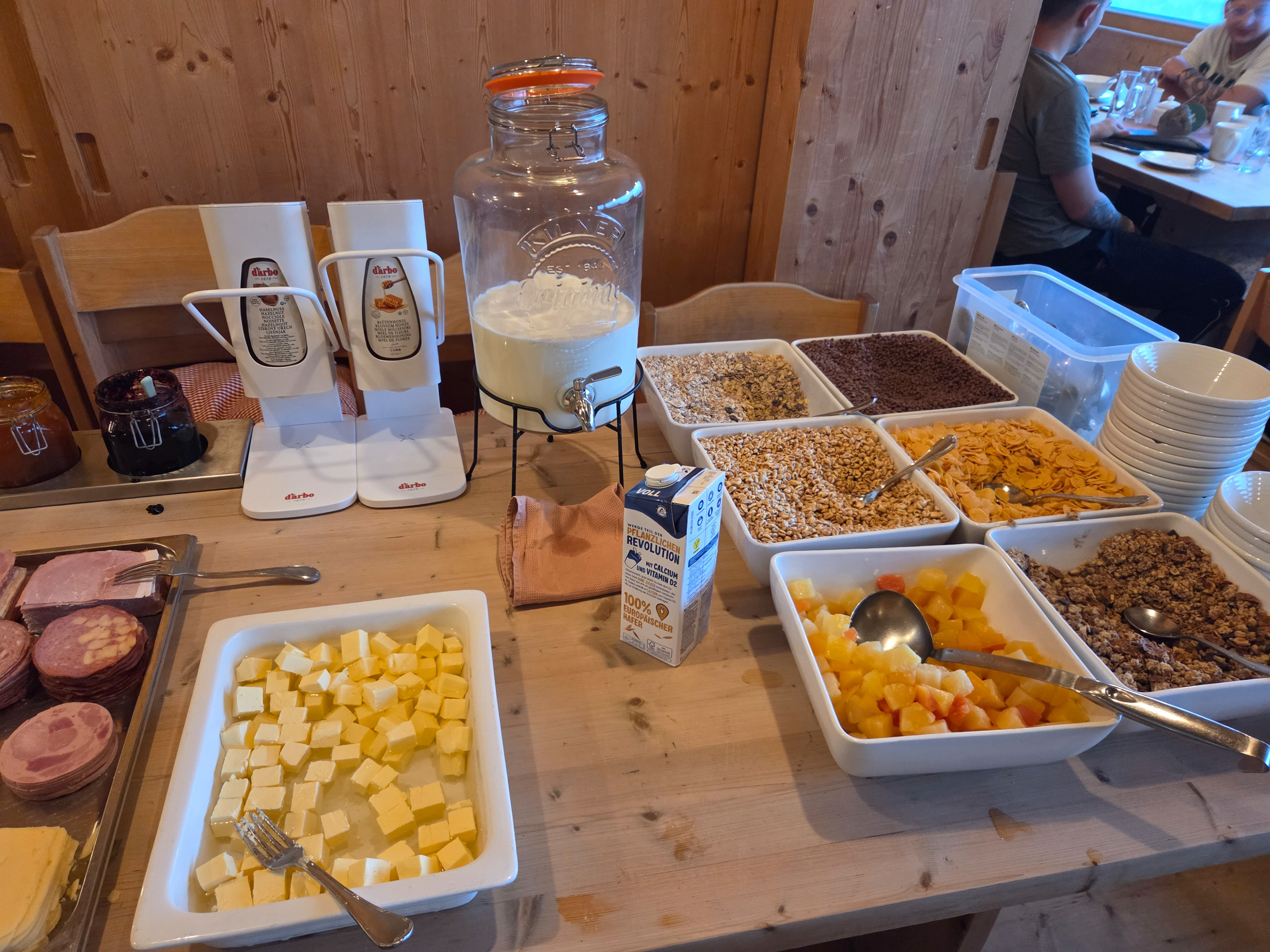
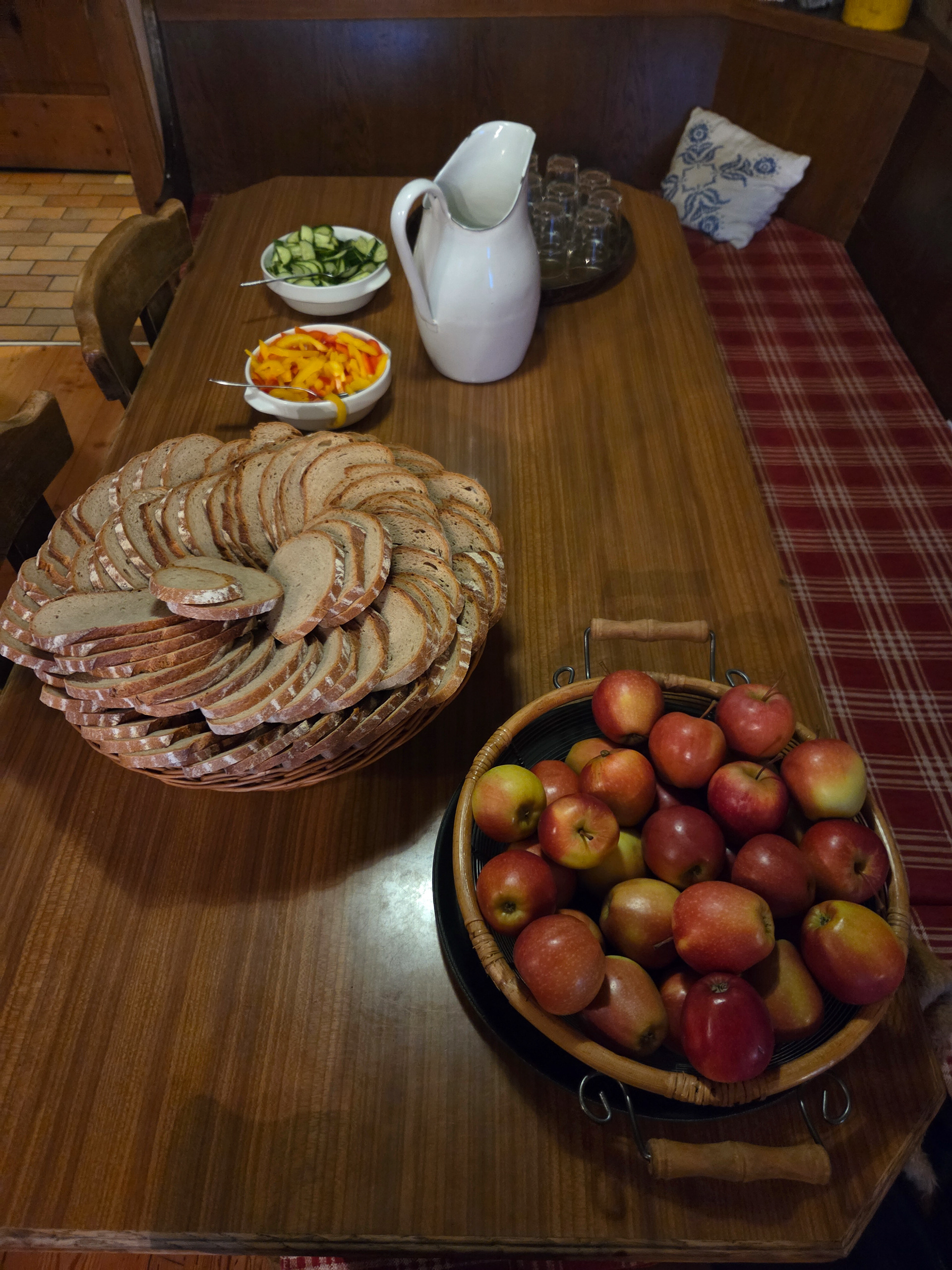
We start with breakfast at the Stoanerhof, with an amazing assortment of breads, cheeses, meats, and homemade jellies and jams. In the morning, we see the front desk/owner lady bring in 2 buckets of blueberries, some of which we ate moments later. Apparently she used the rest for jam.
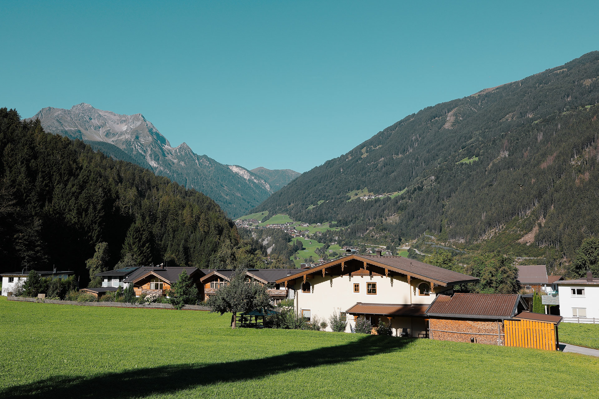
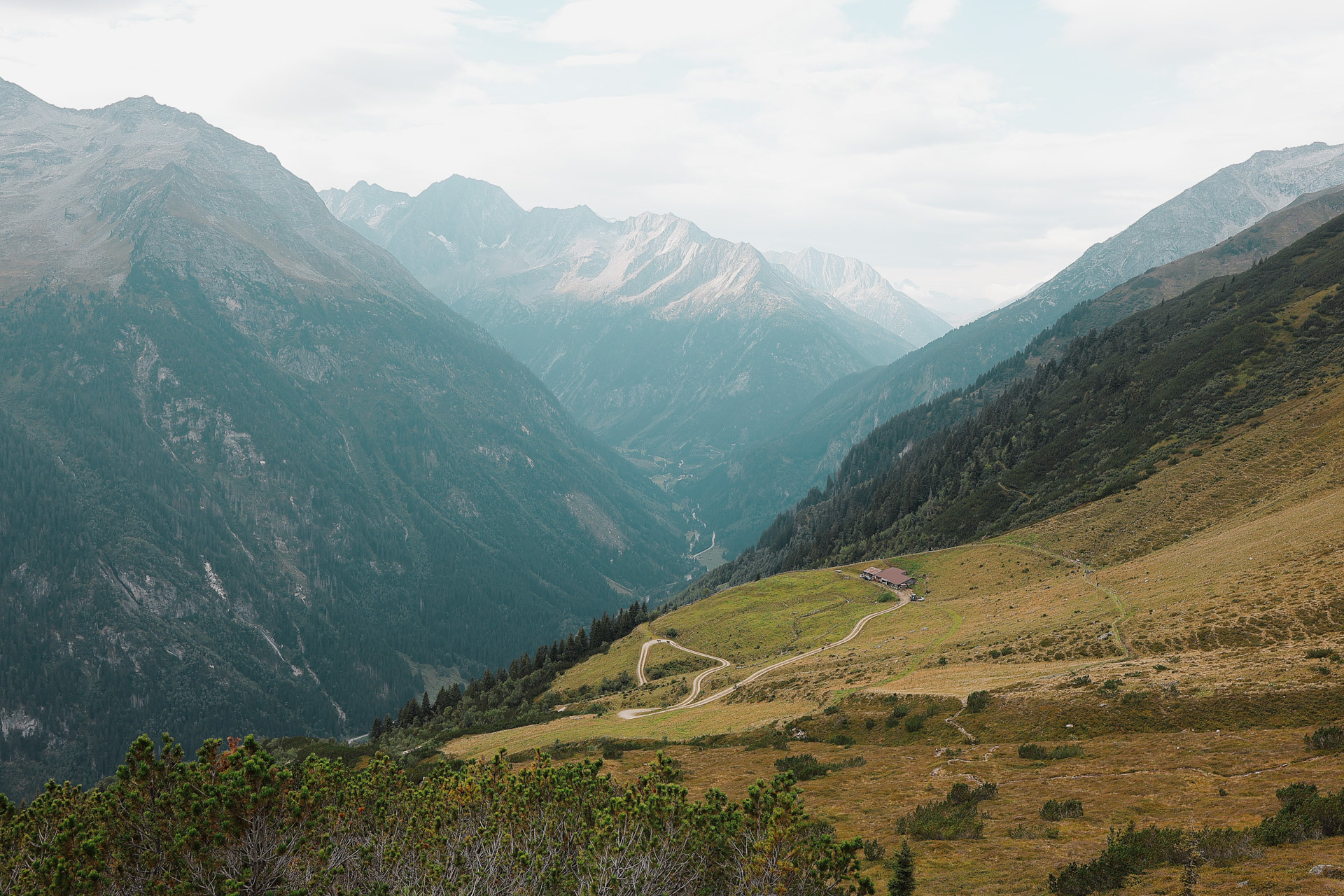
The view outside the Stoanerhof lanai. After breakfast we got some snacks from a local grocery and then boarded a bus to Finkenberg, which you can see in the back behind the houses here.
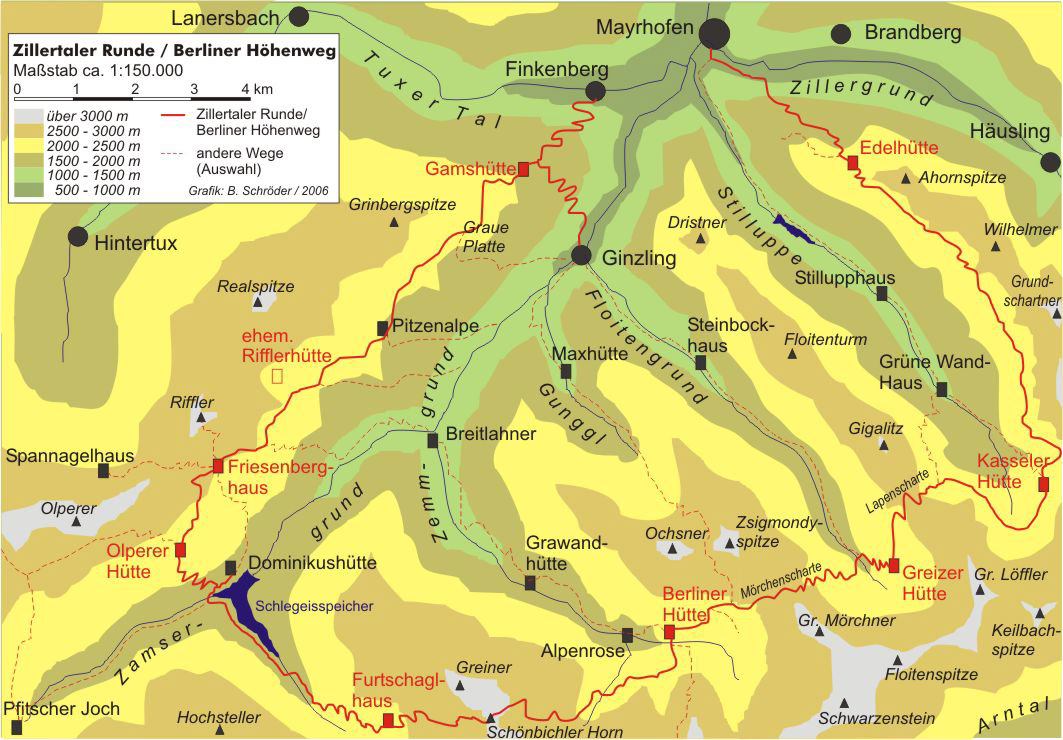
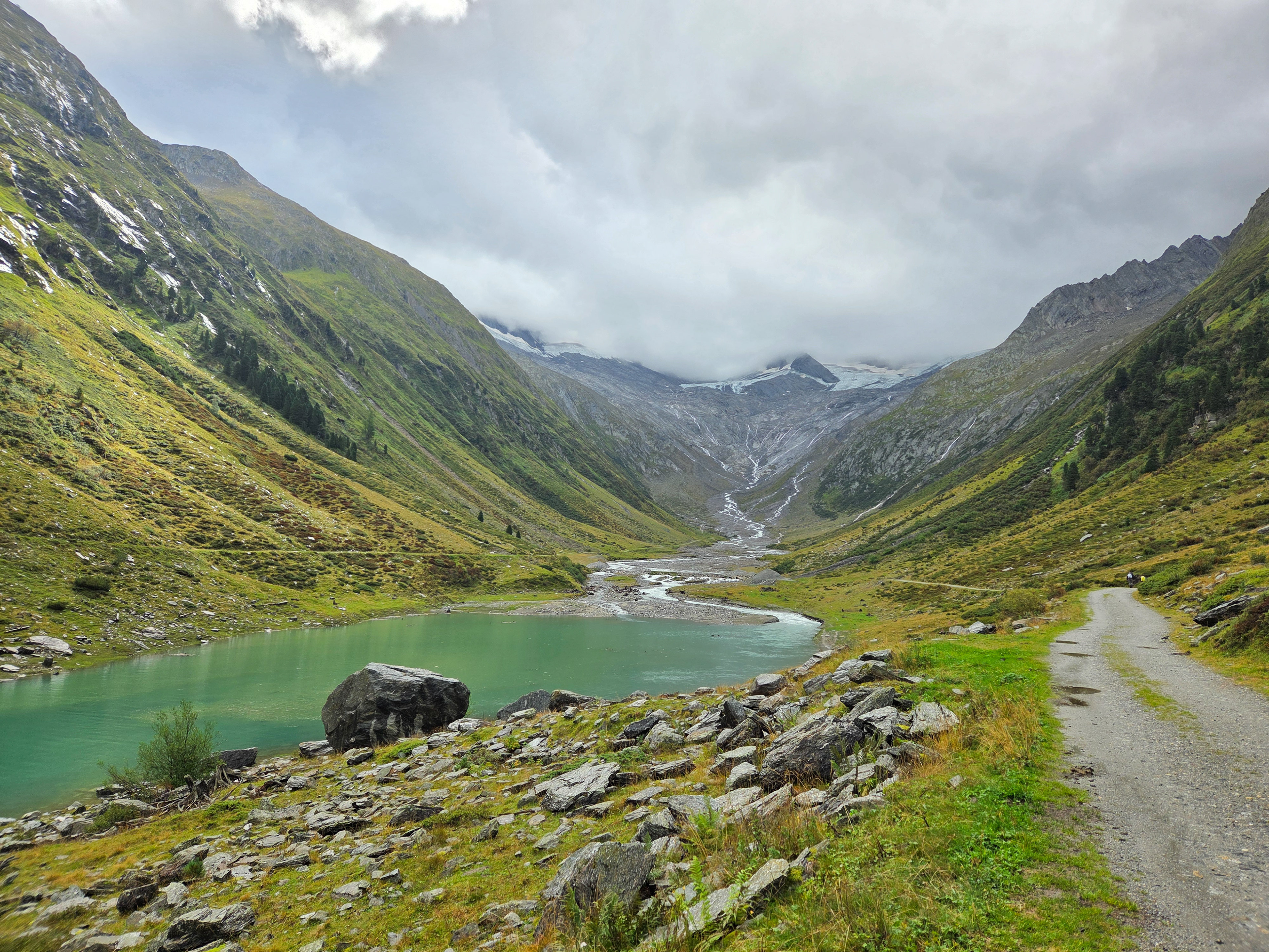
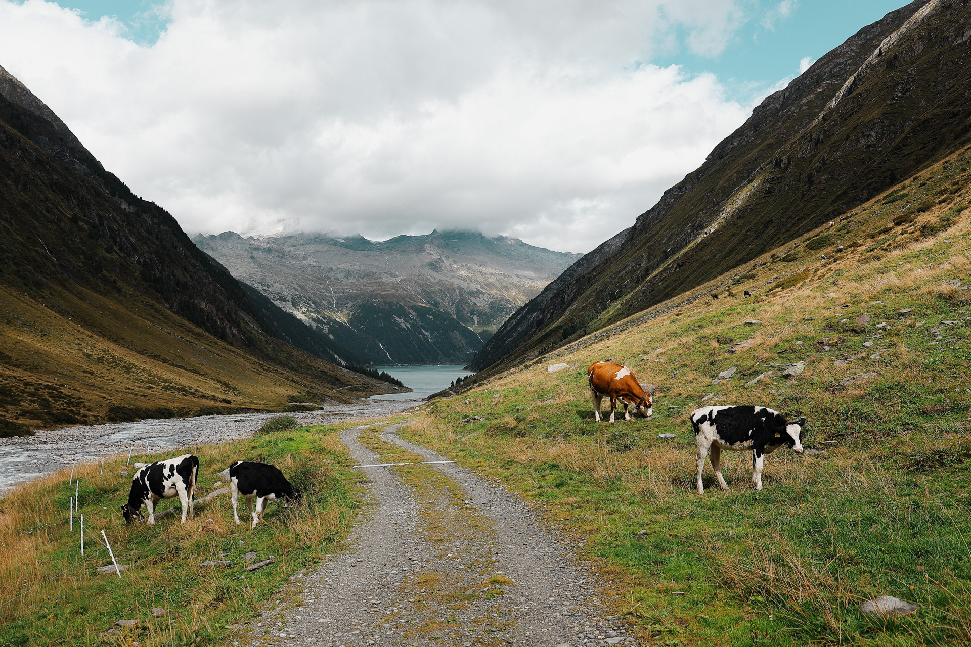
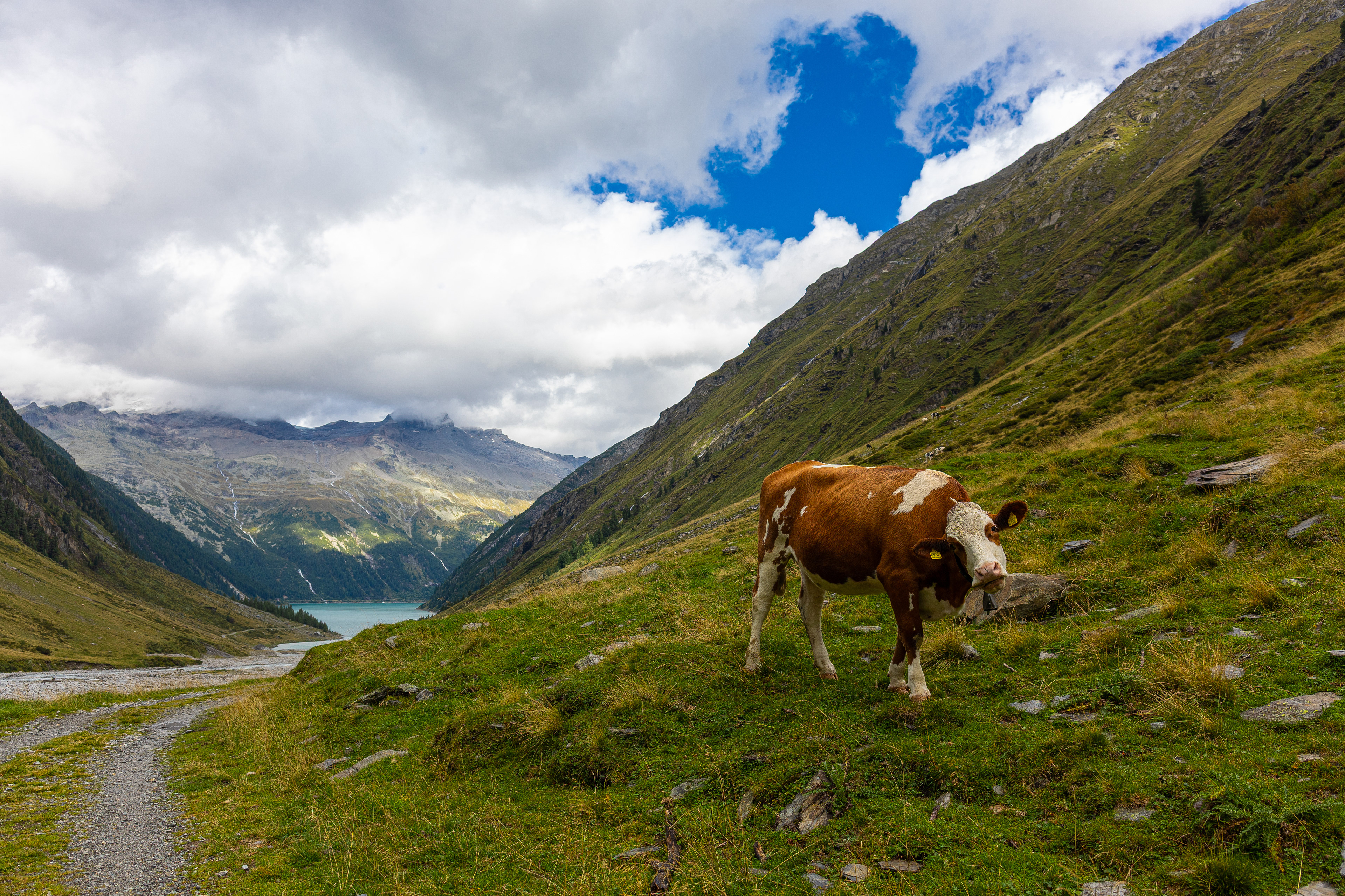
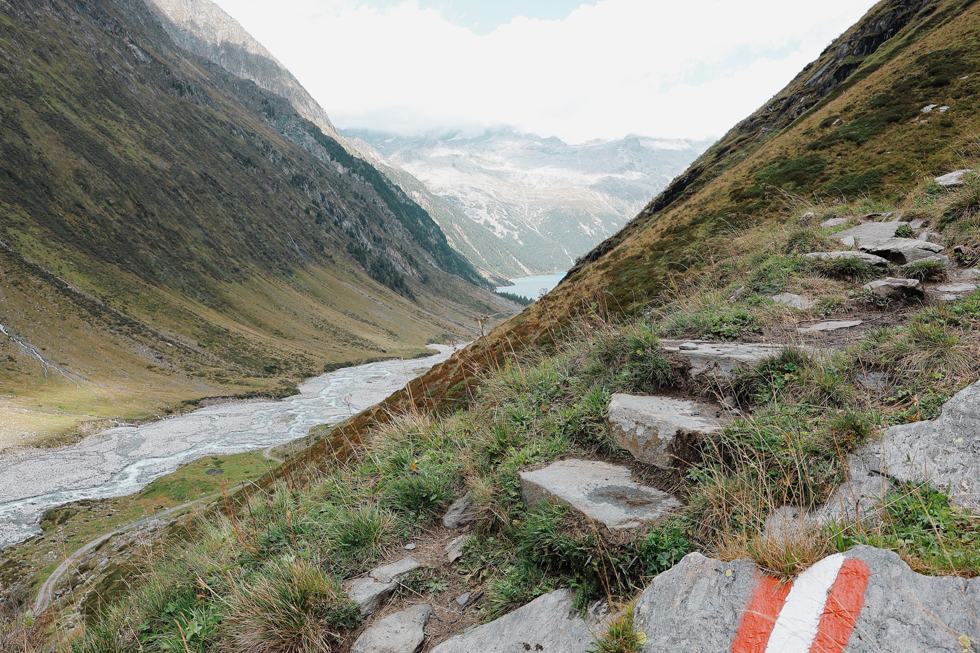
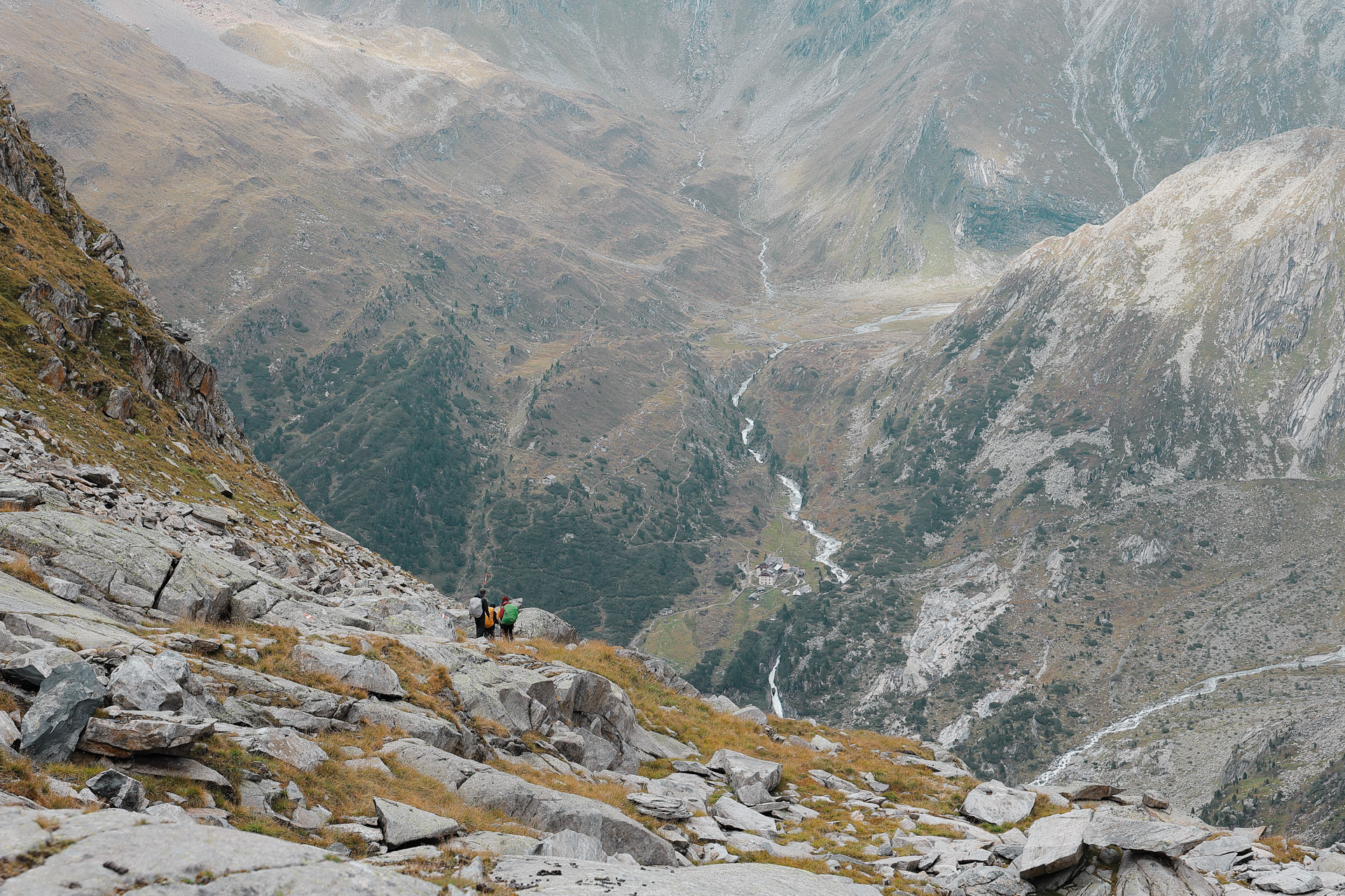
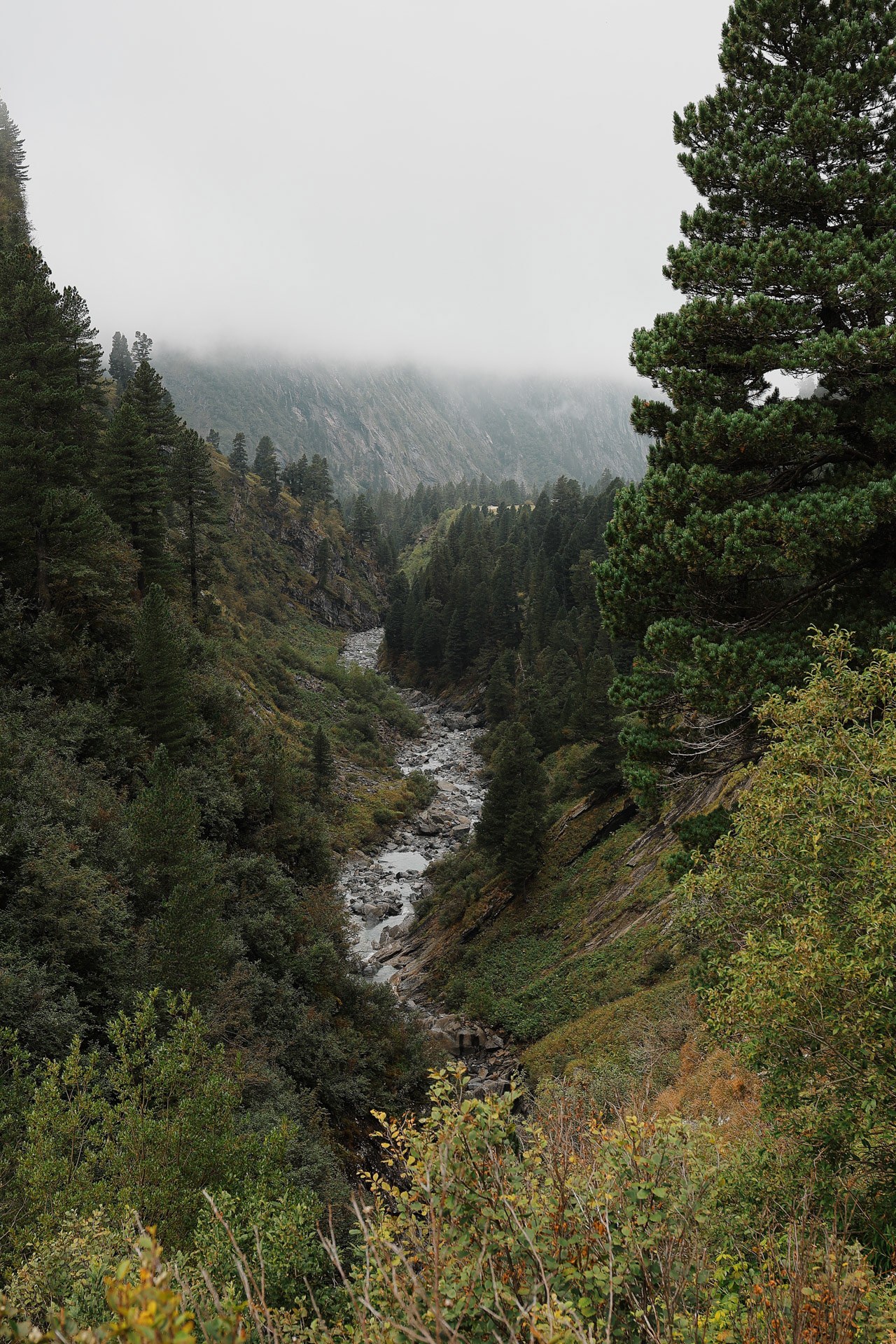
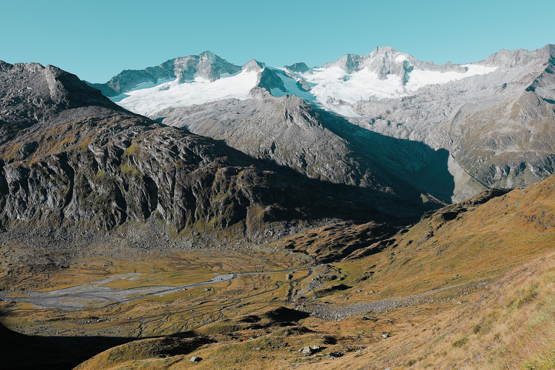
The Ziller valley has a bunch of subvalleys. We hiked through Zamsergrund, Zemmgrund, Floitengrund, and Stilluppe. Though the main route are the thick red lines, there are ways of getting to and from the huts through the valleys. If there was a minor accident (anything not needing airlift), anyone can get off the trail and head down from the valley and and get on a bus to get back to society.
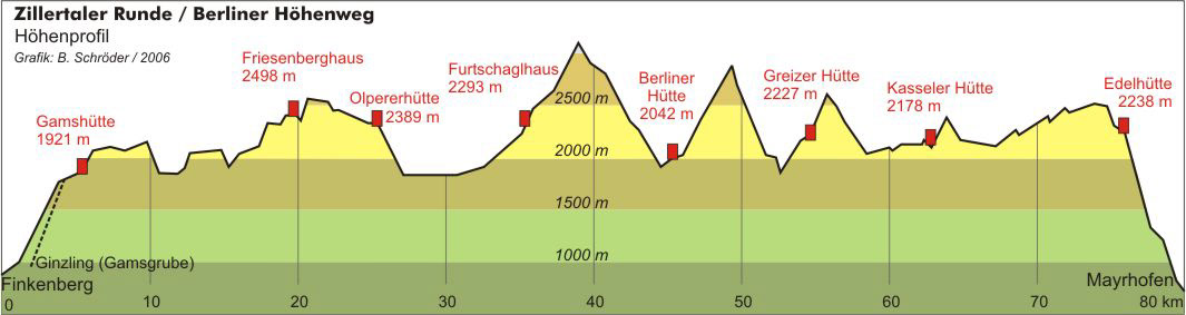
The traditional way to do the BHT is to hike to each hut a day at a time, meaning it would take 9 days. A lot of people would usually skip Olpererhutte and hike from Friesenberghaus to Furtschaglhaus since Stage 3 is so short. We considered doing this but we couldn't make reservations at Furtschaglhaus for the 3rd day. So we resigned ourselves to taking Day 3 easy and doing it the traditional way. At least that's what we planned...
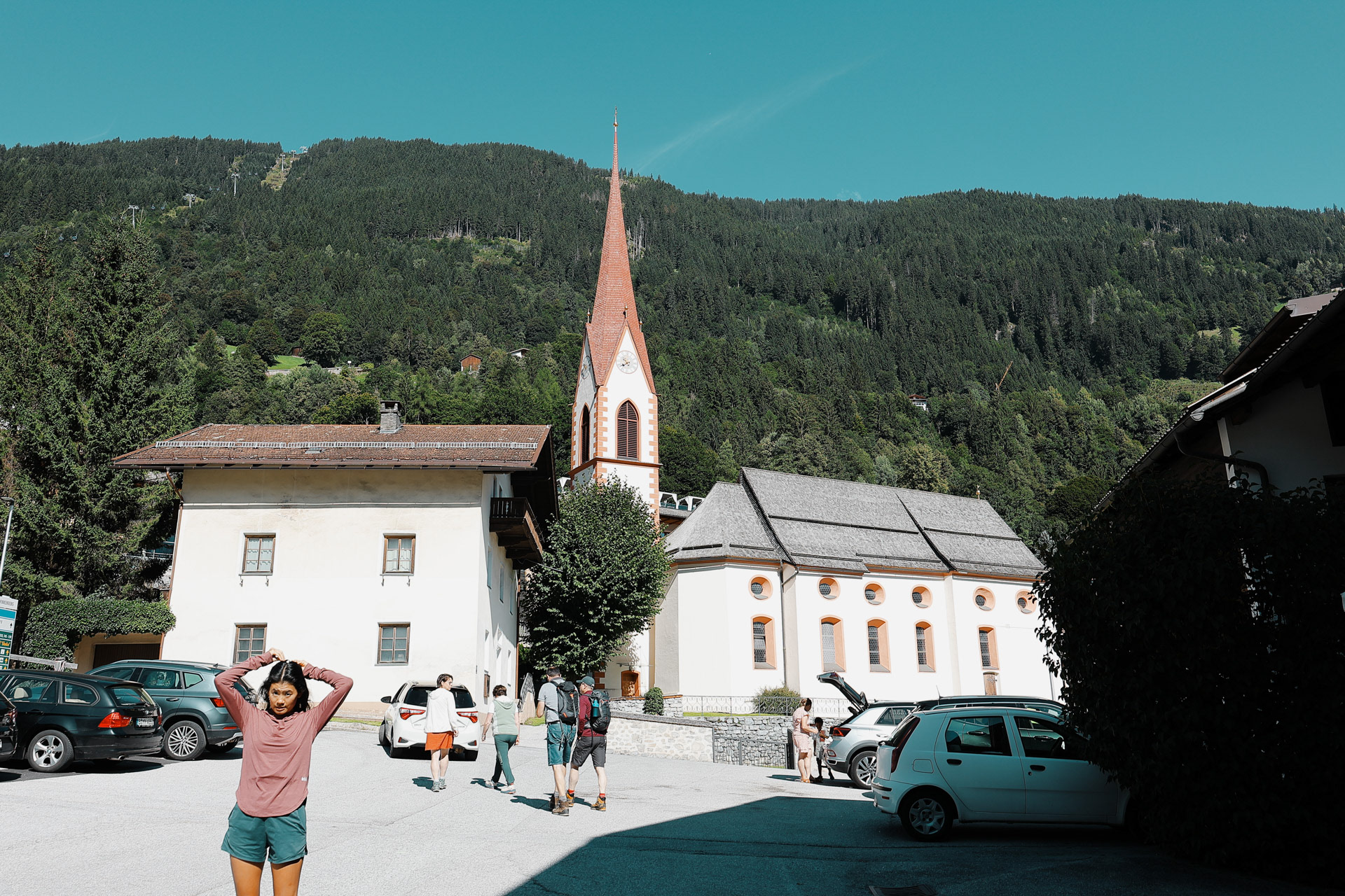
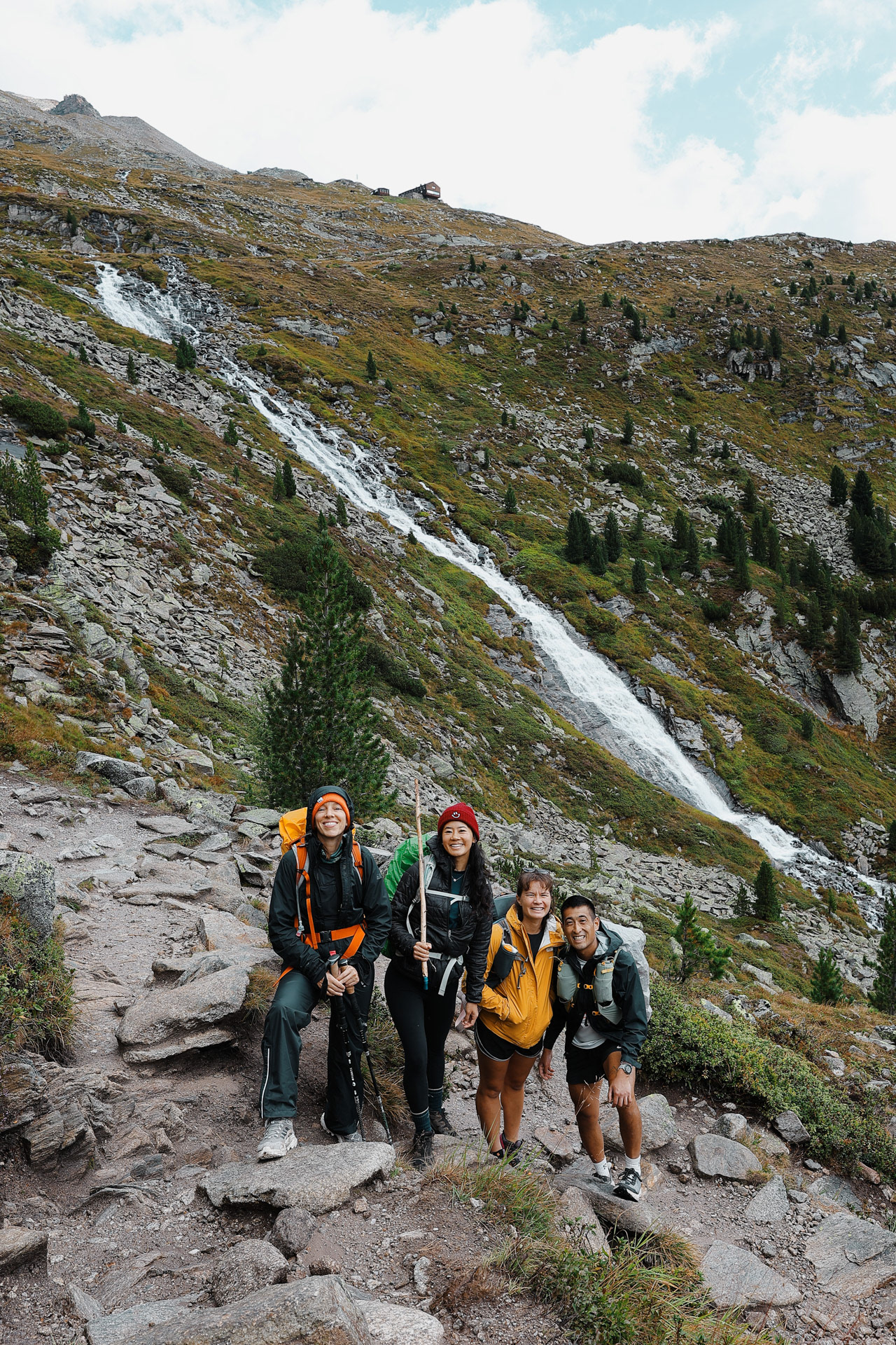
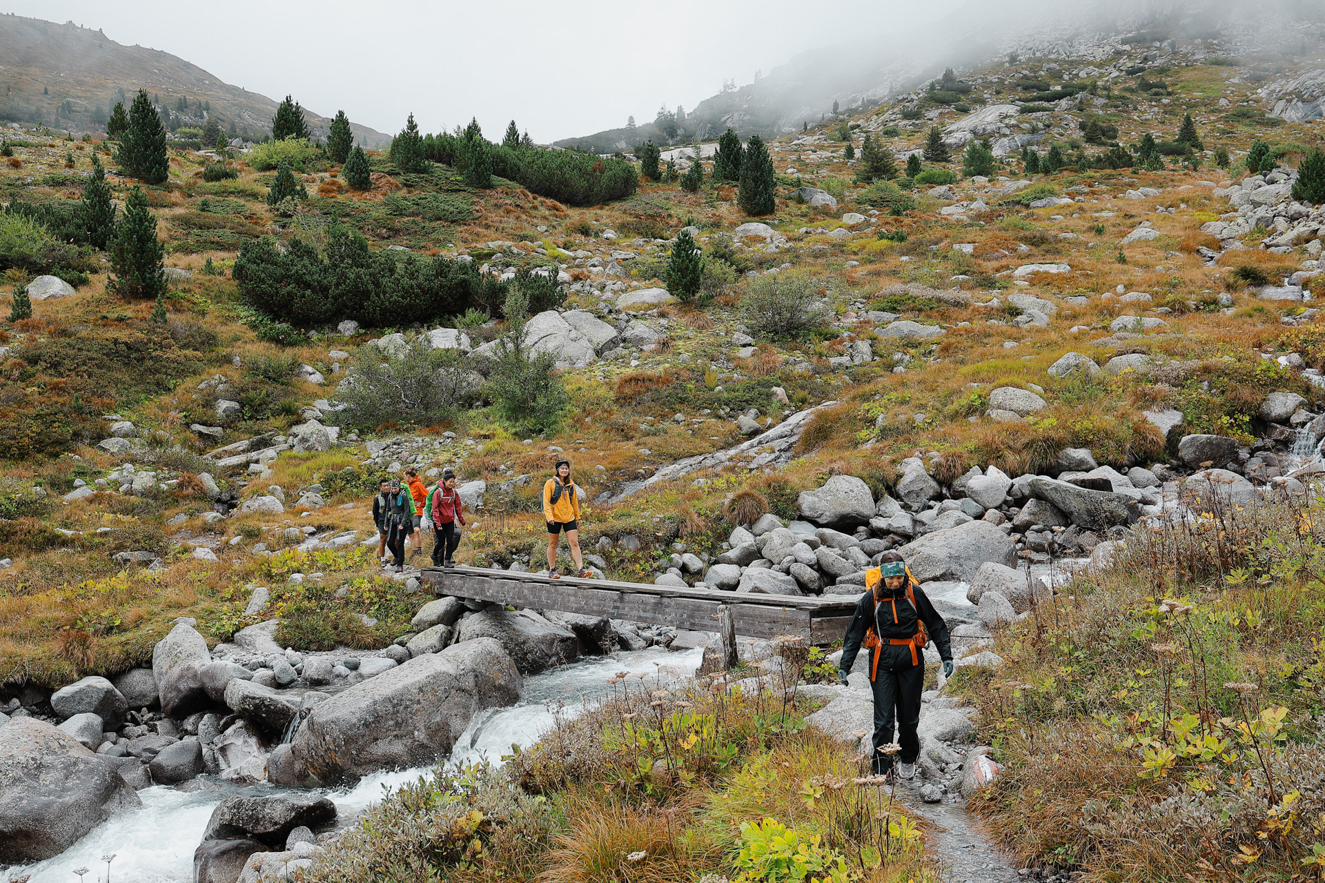
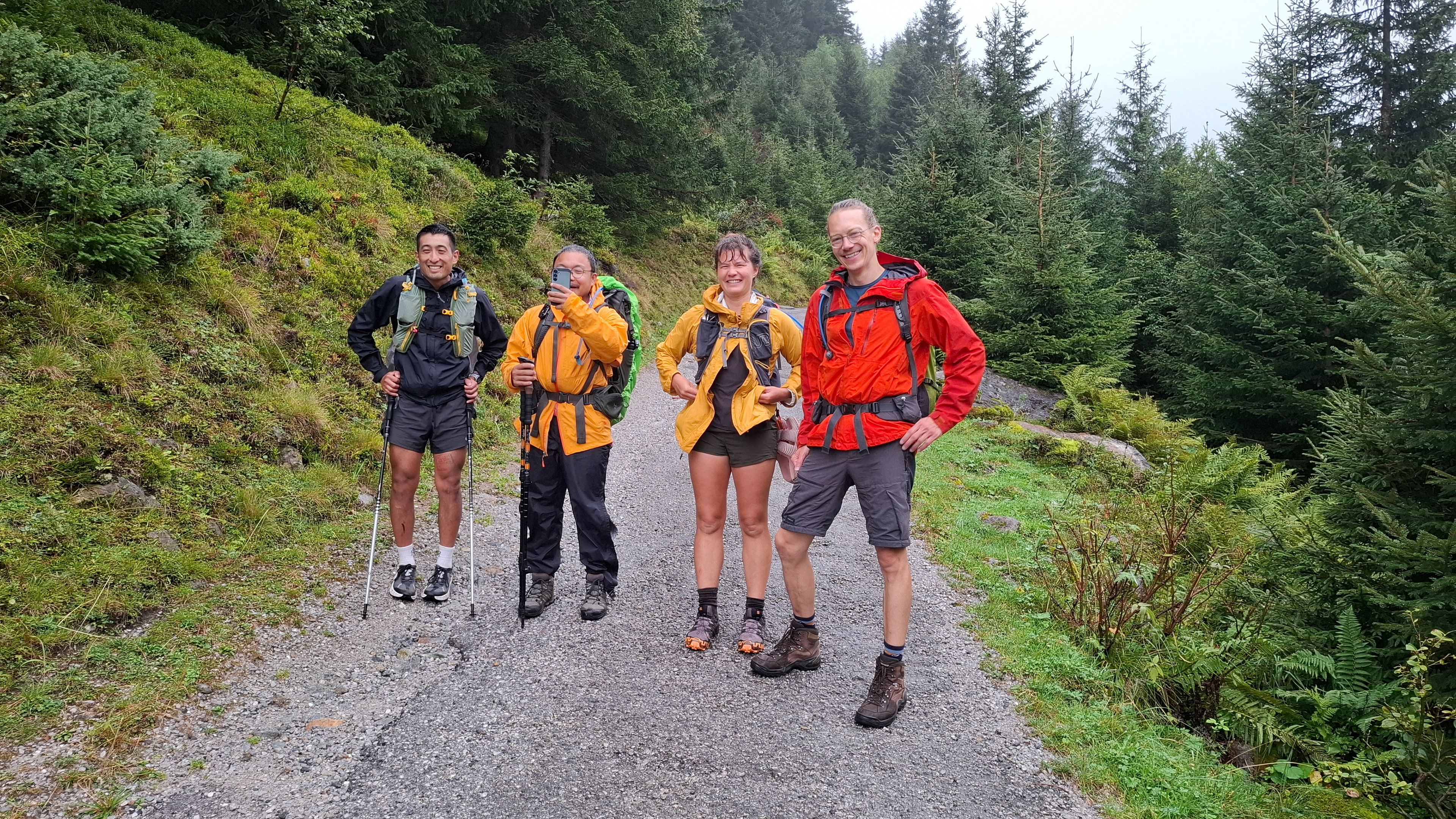
The bus from Mayrhofen to Finkenberg was completely full. Everyone was going to the lakes (there are a few that were in the subvalleys as you could see from the map above). We were packed like sardines (the last person on in our group was touching the door). But we made it to Finkenberg! We started our hike across the street from this church parking lot.
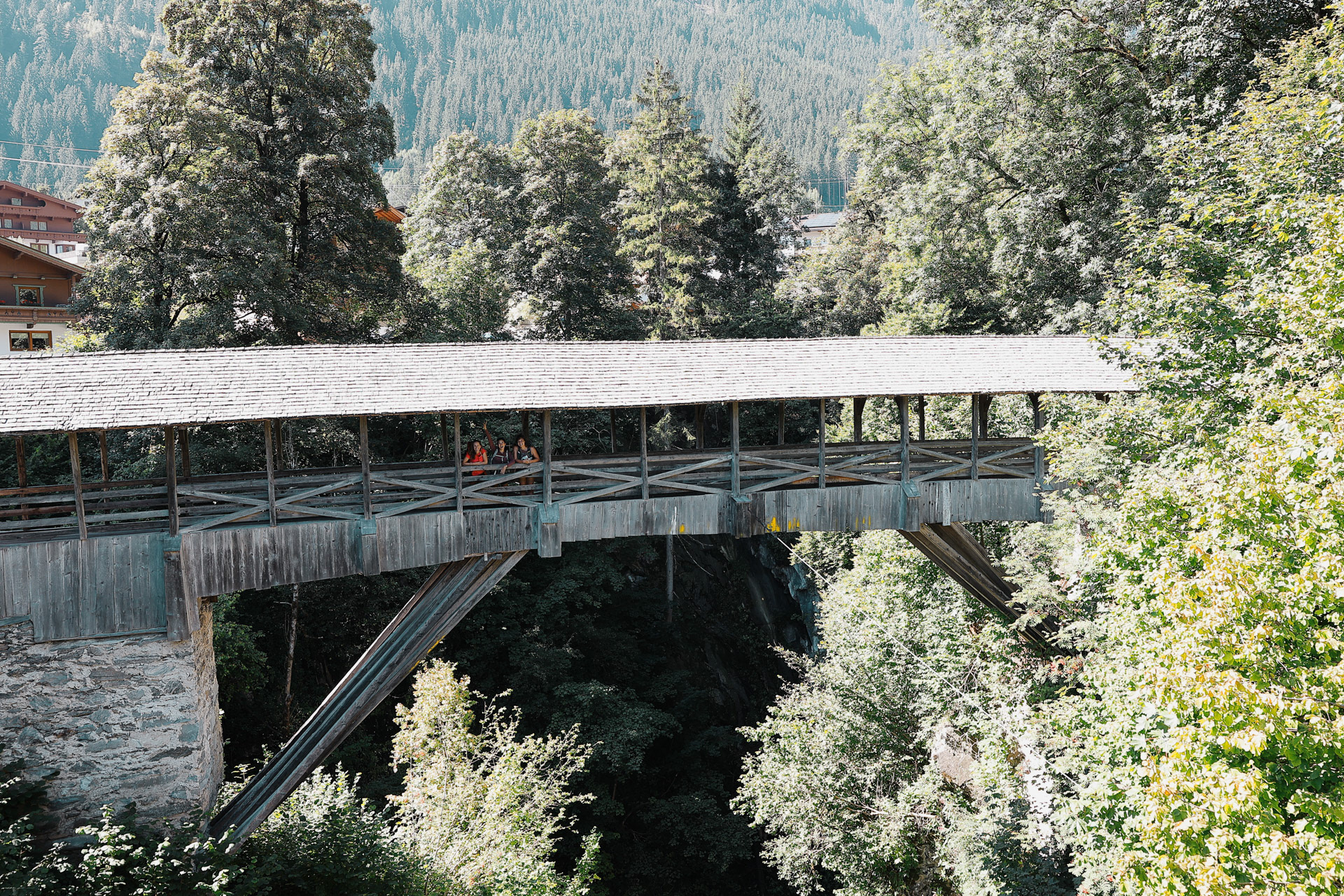
This is Teufelsbrücke... or Devil's Bridge in German. We passed the bridge on the way to the trail and had to take a picture!
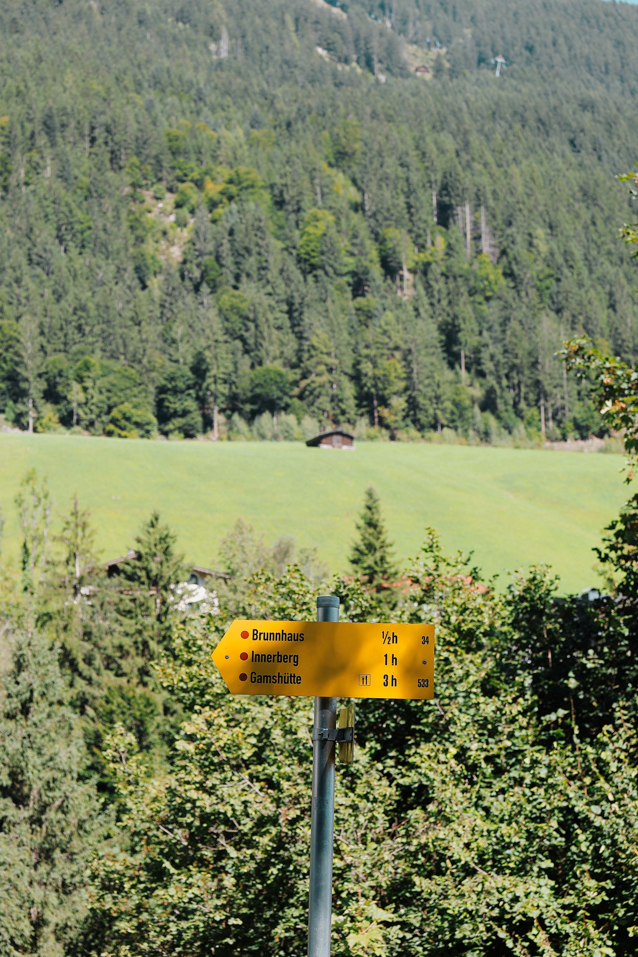
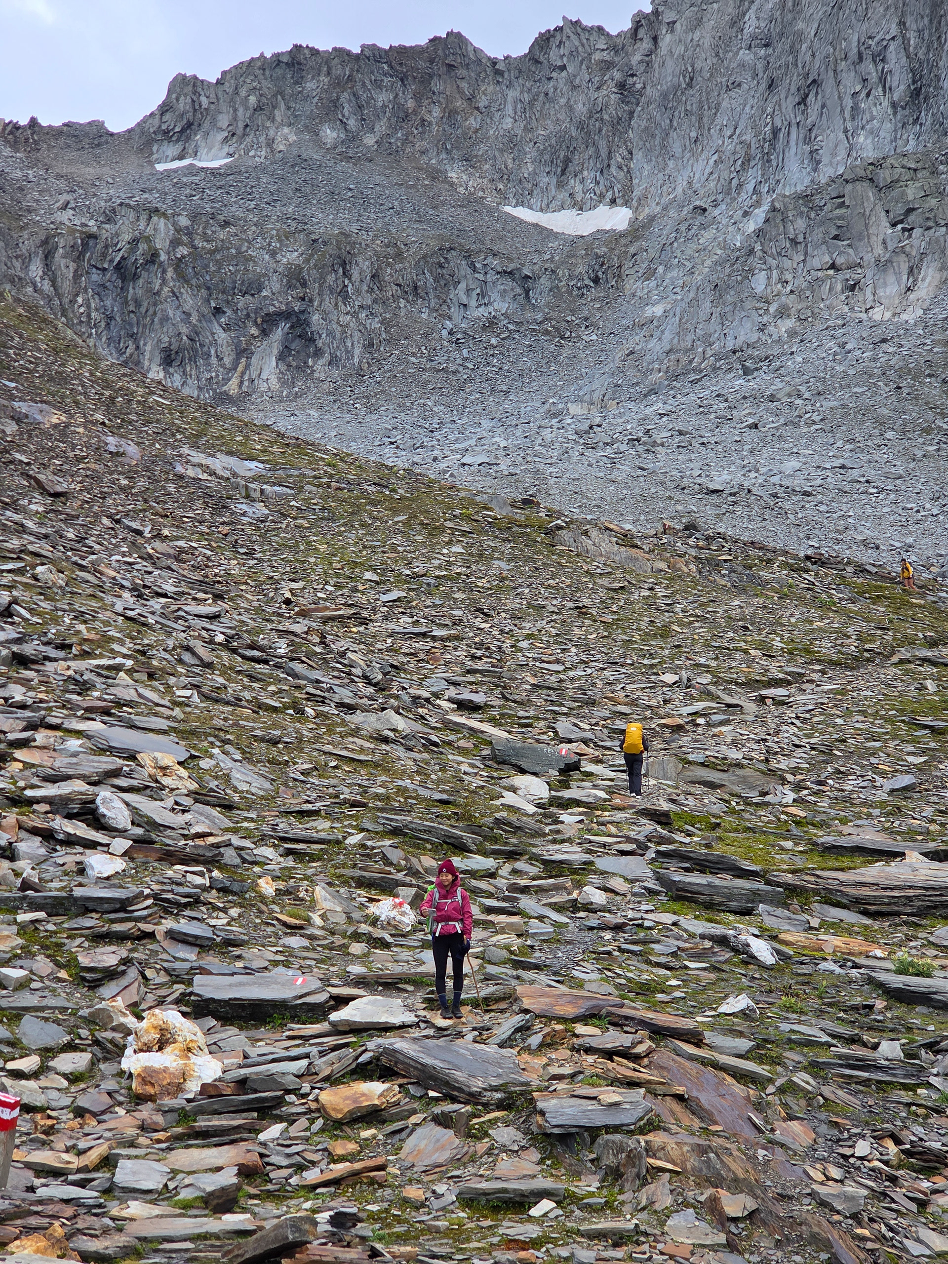
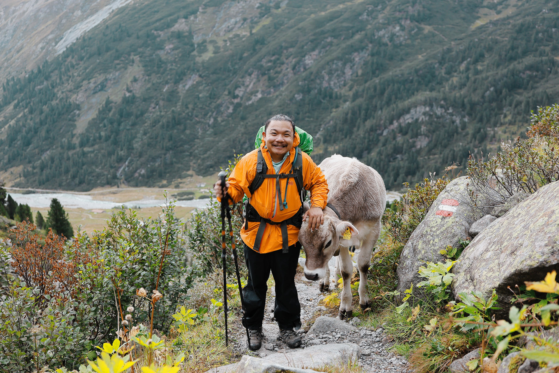
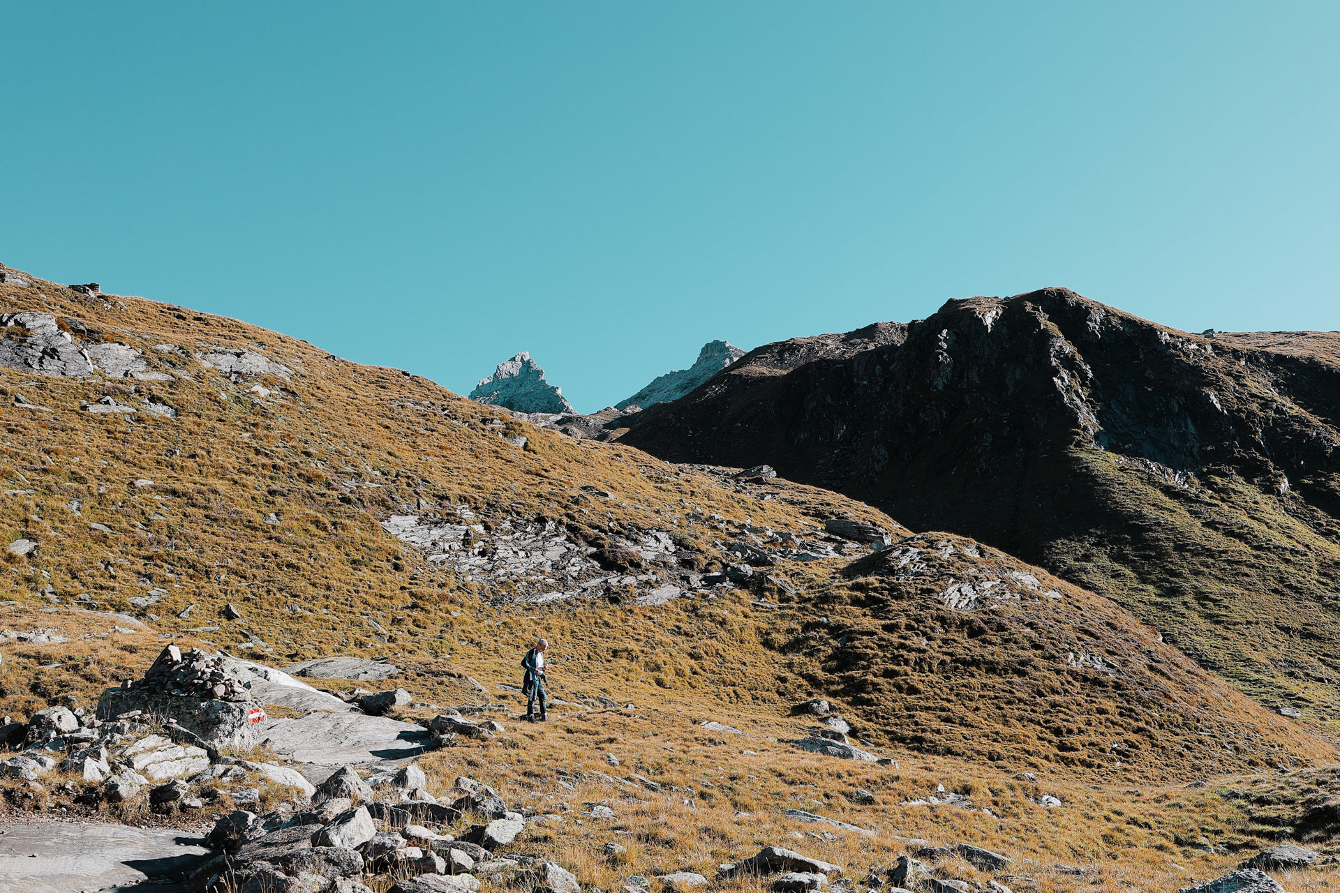
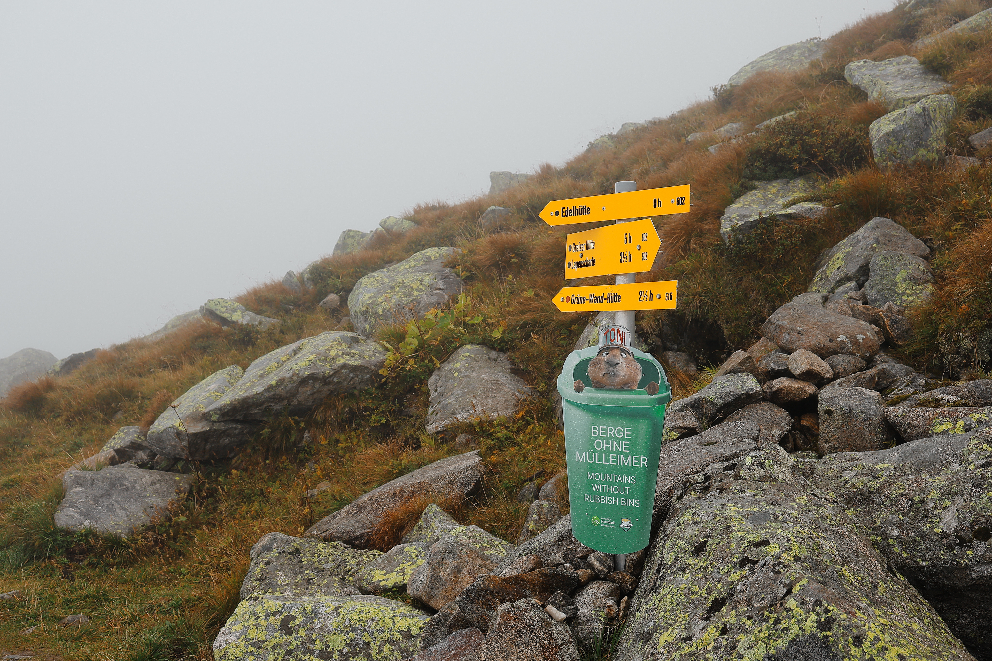
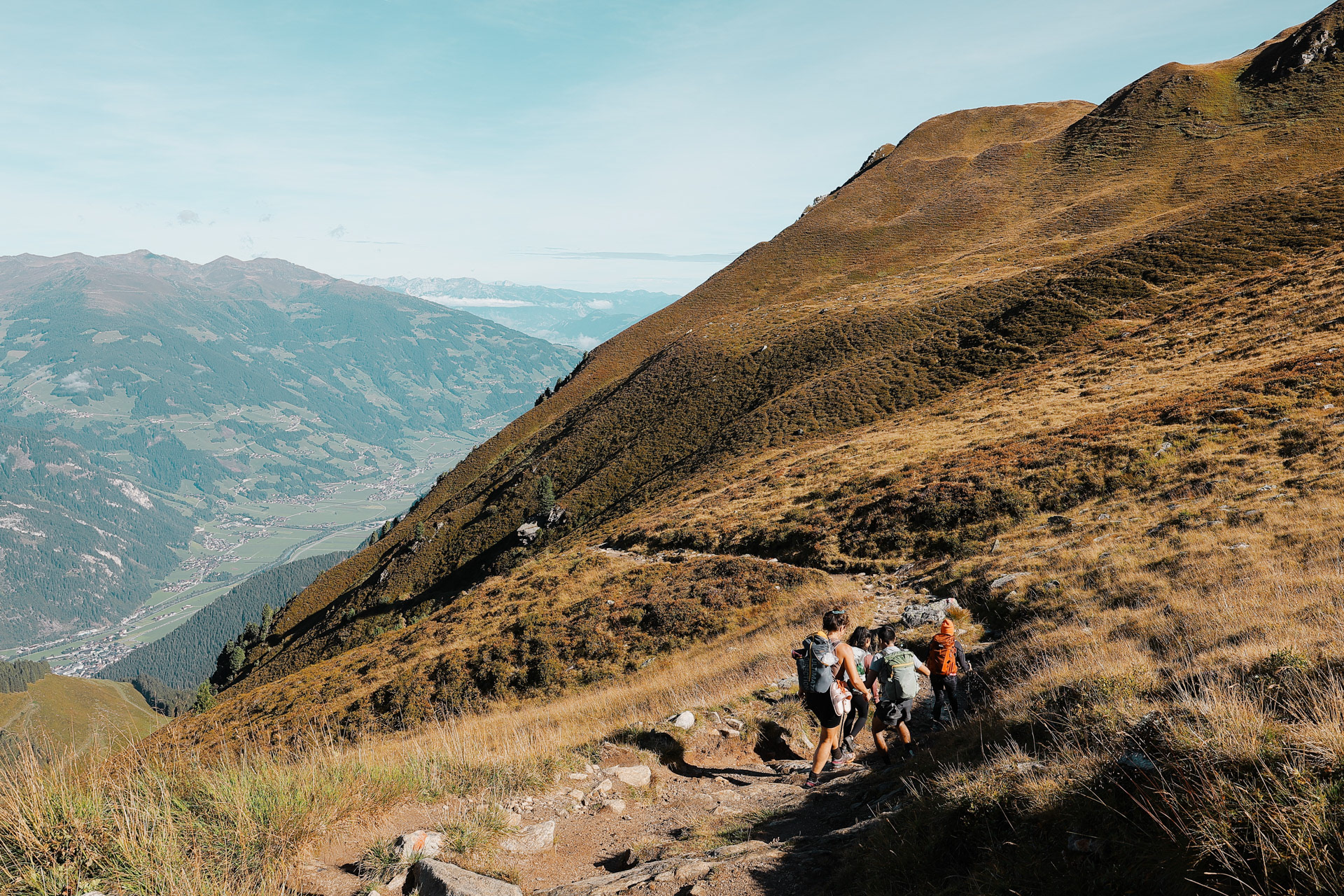
Throughout the trek are these yellow signs with different destinations and points of interest and their estimated distance by time. Most estimates are accurate...
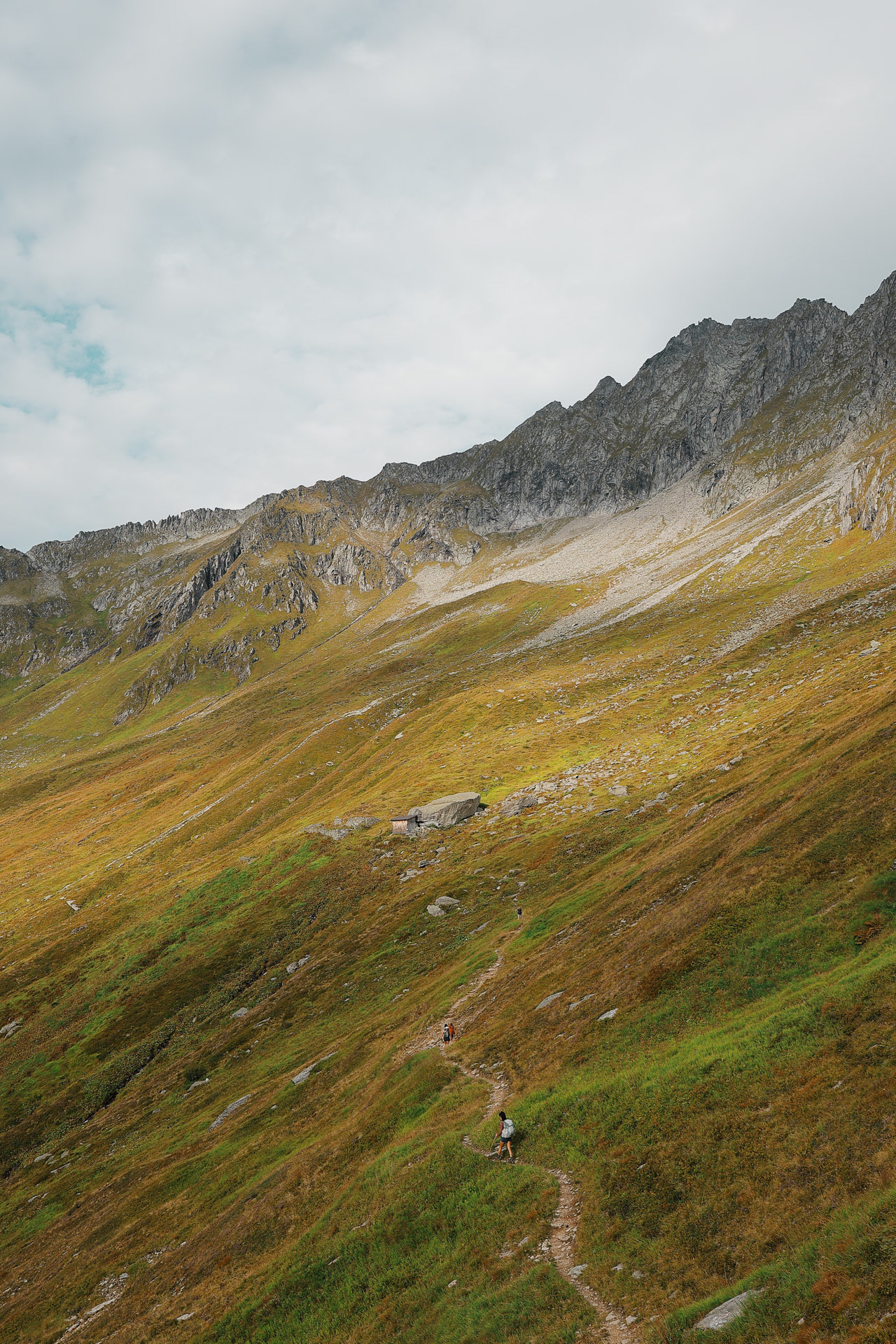
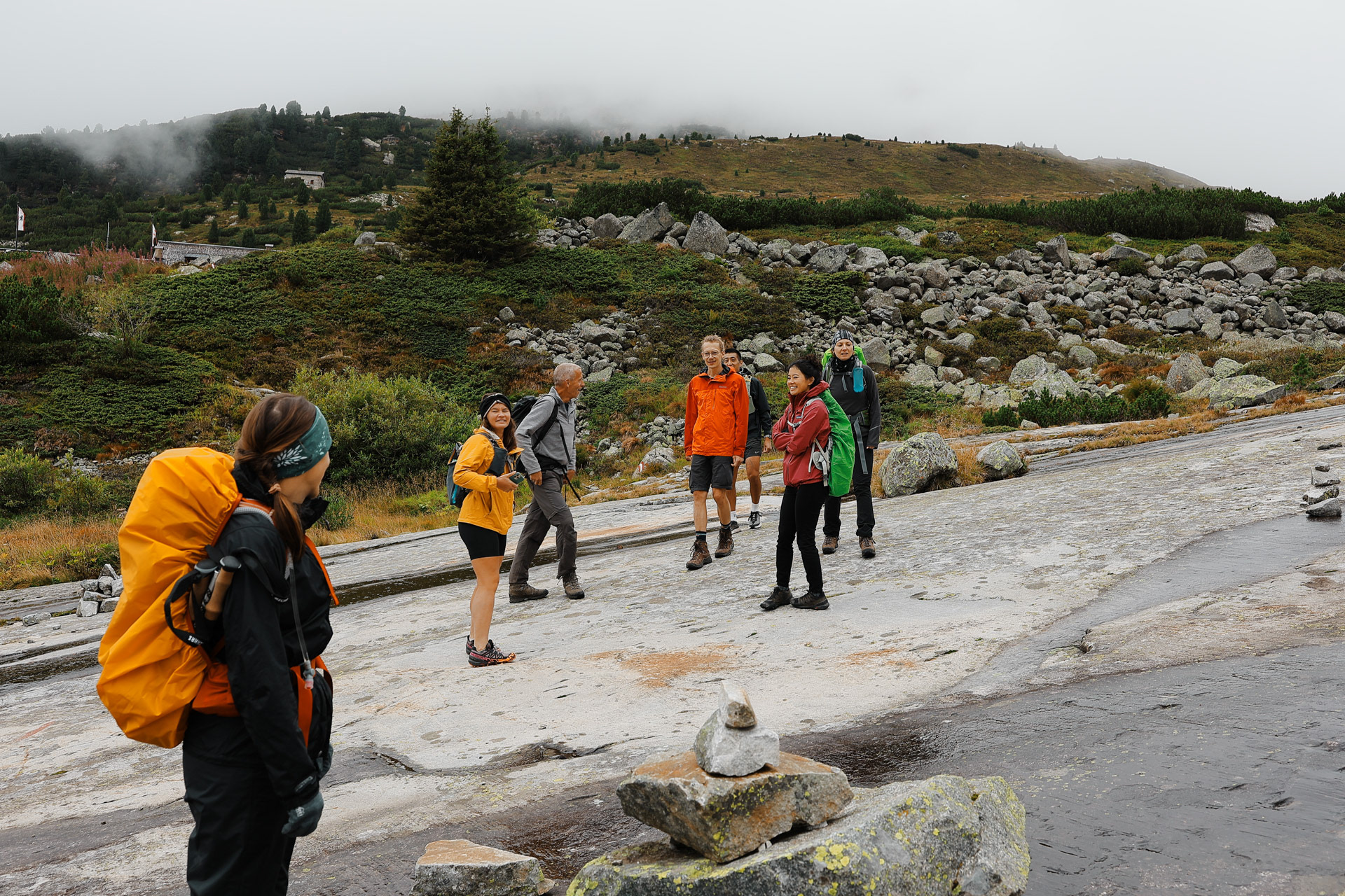
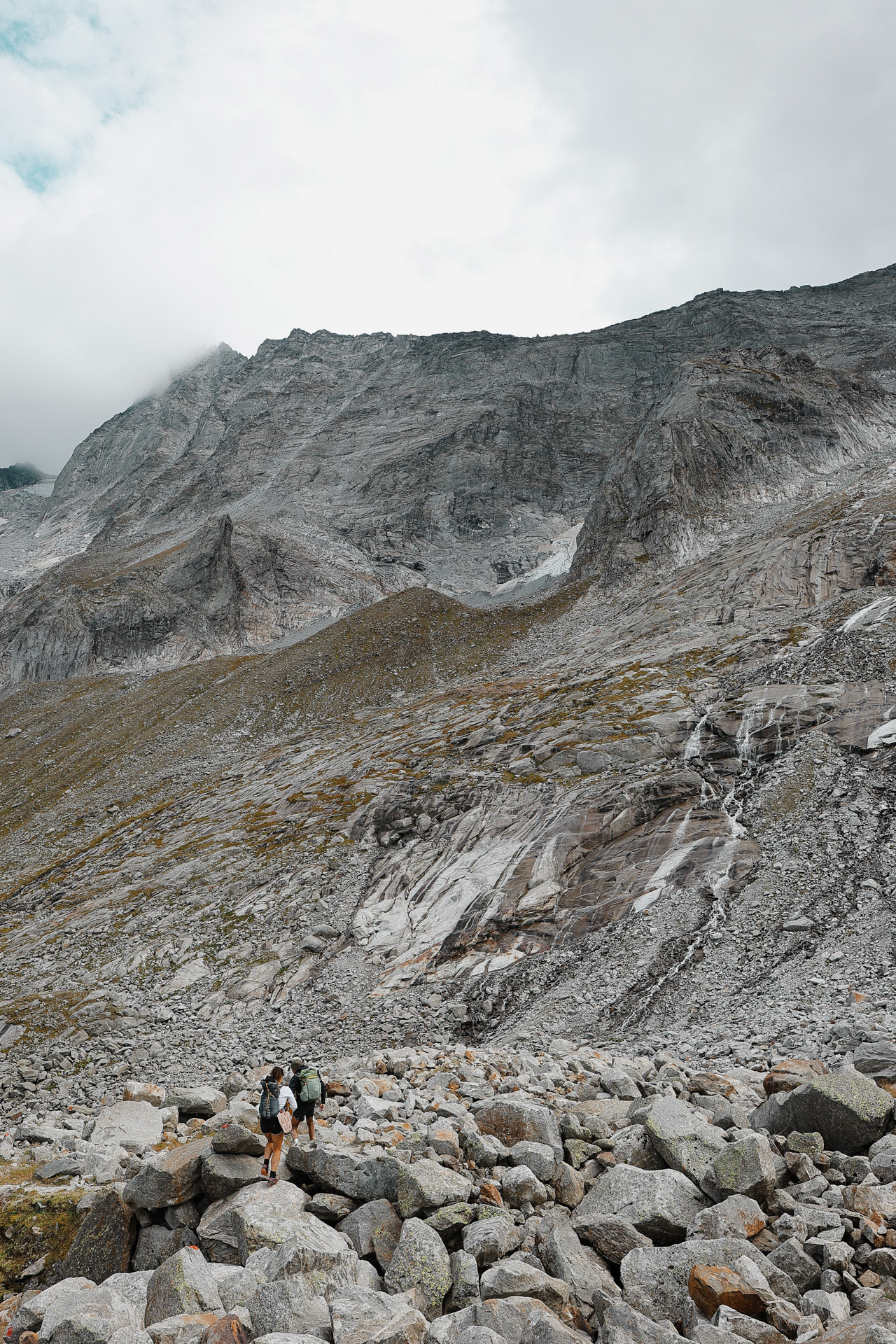
Hiked around 1.5 miles from the bus to here, finally to make it to the trail part of the trail!
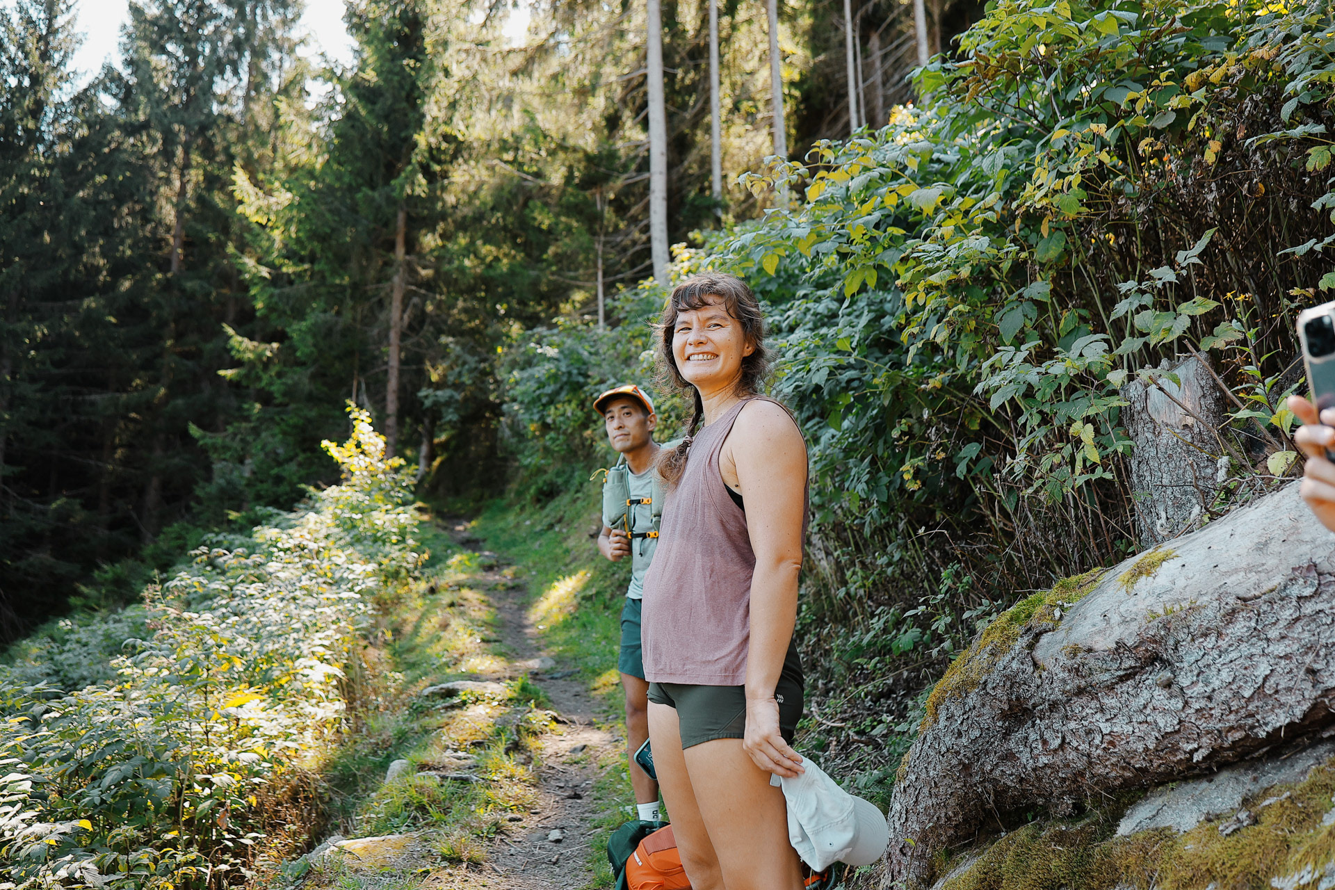
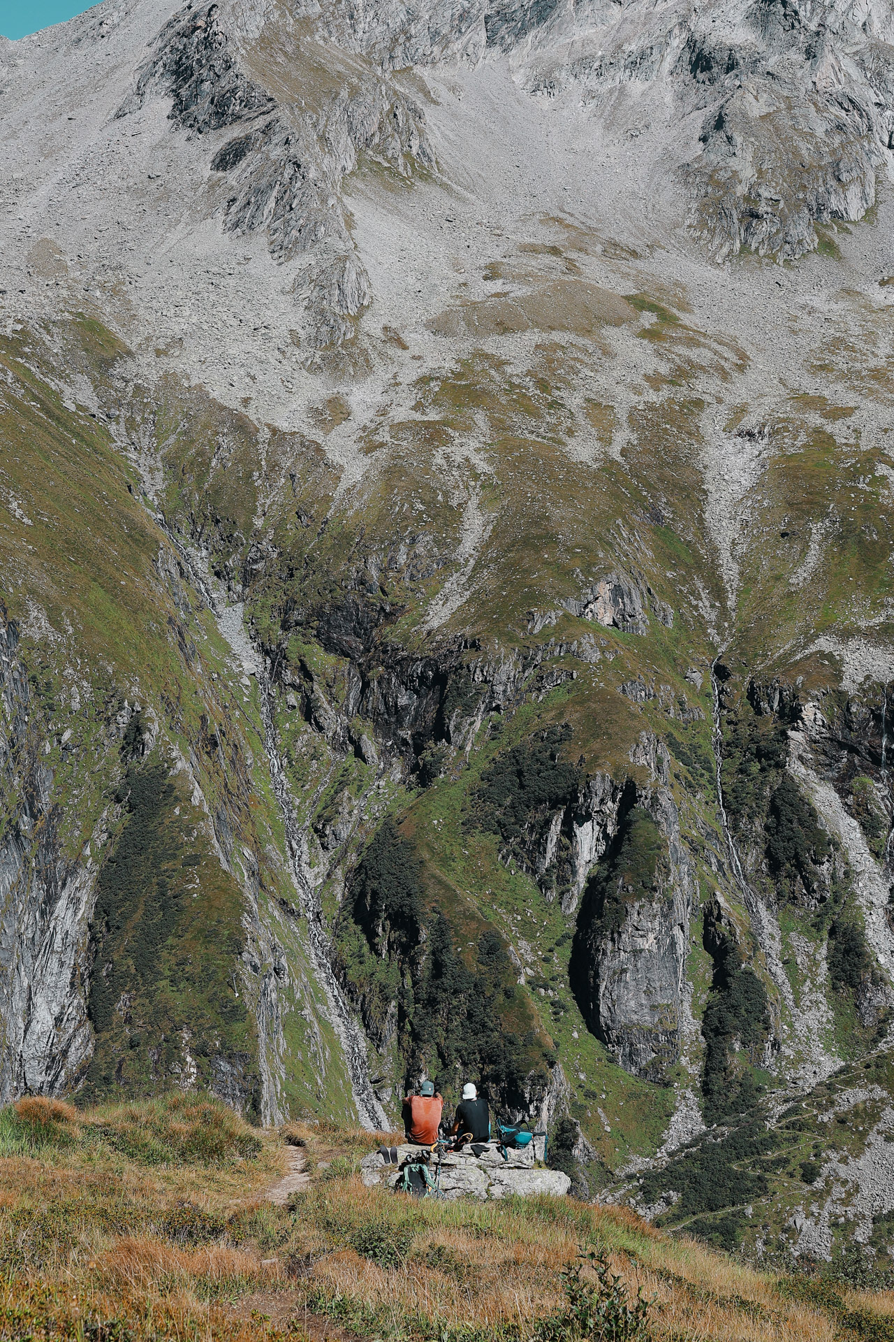
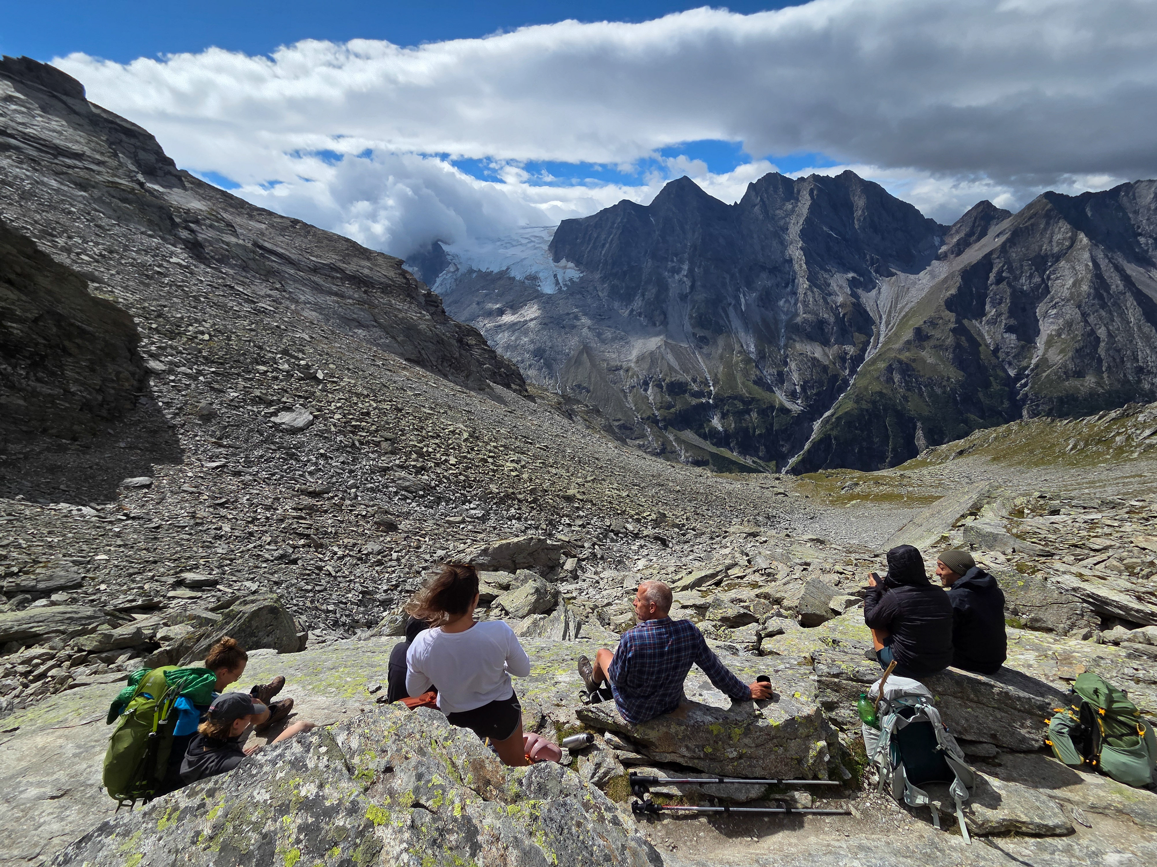
Quick break on the trail to look at views.
A view of Mayrhofen from the break spot.
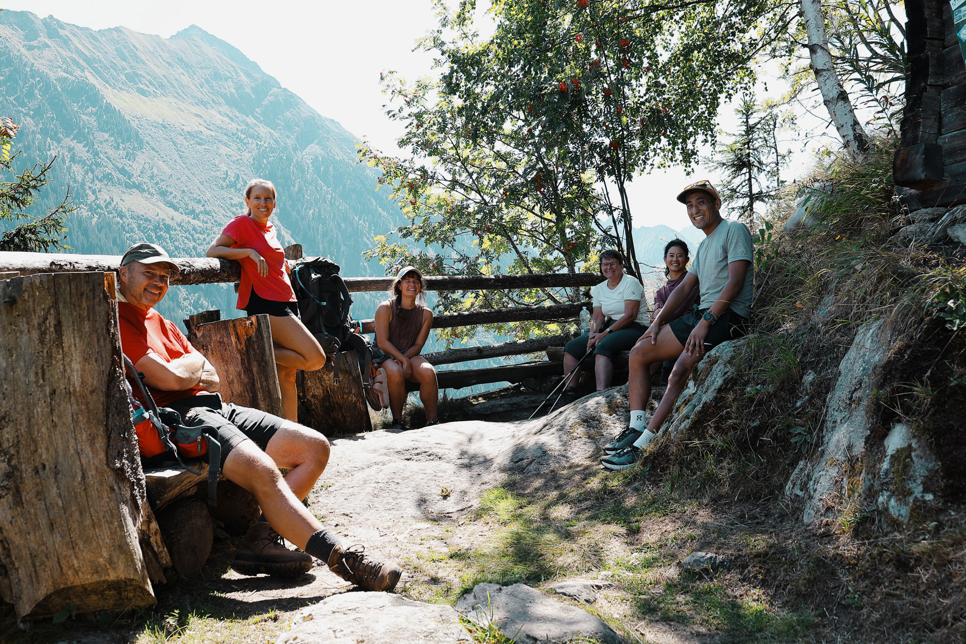
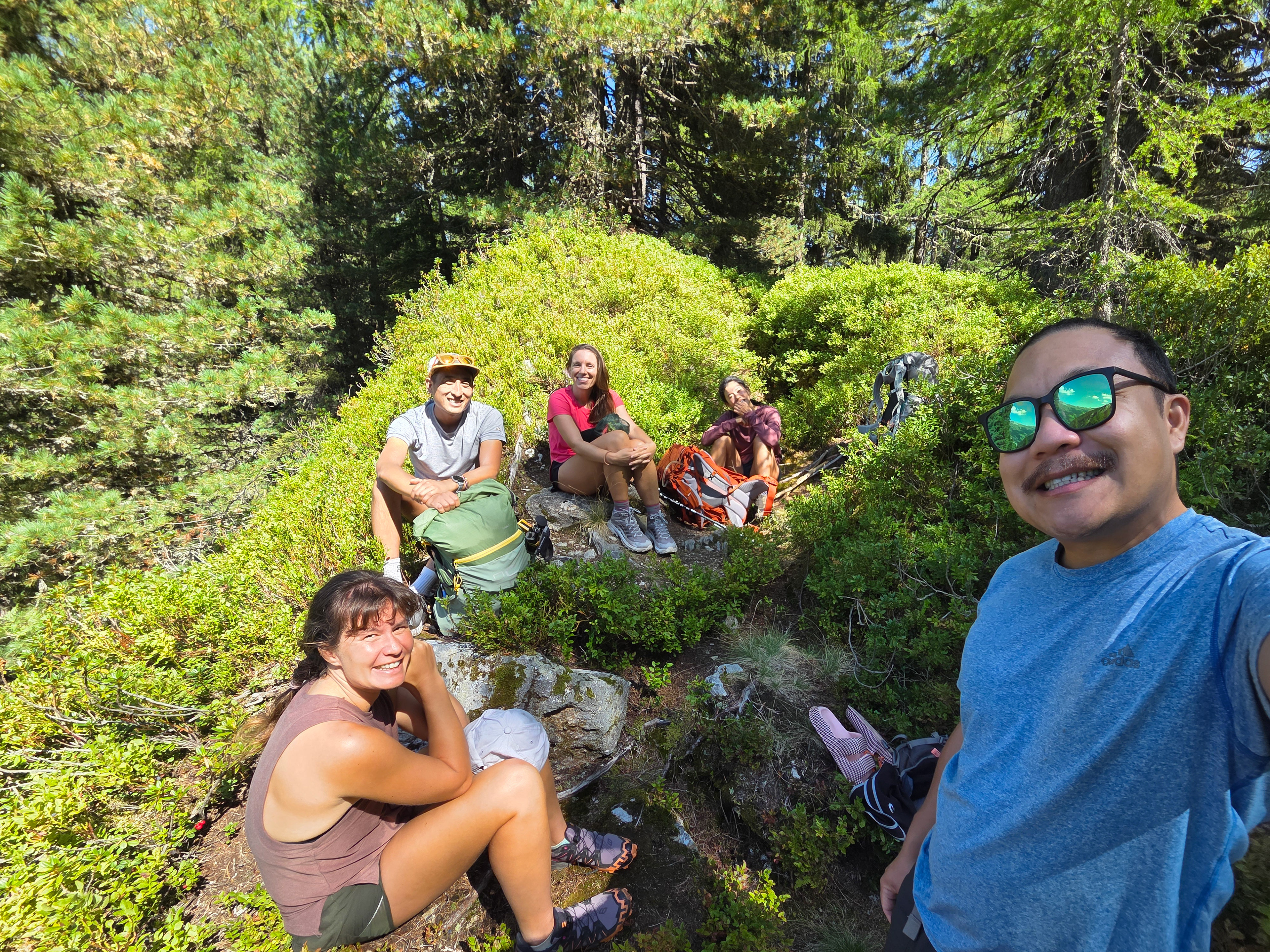
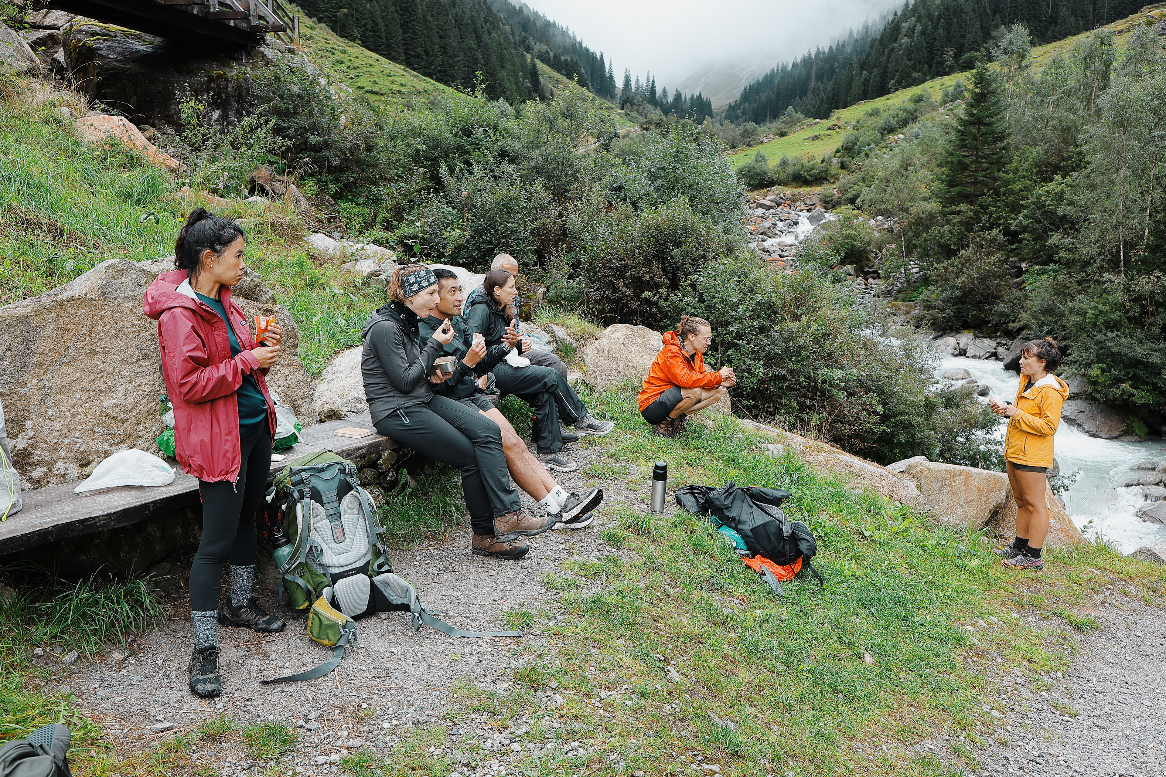
Another quick break where we met Hanko and Britte who were only hiking to Gamshütte to get lunch and then planned to head back down.
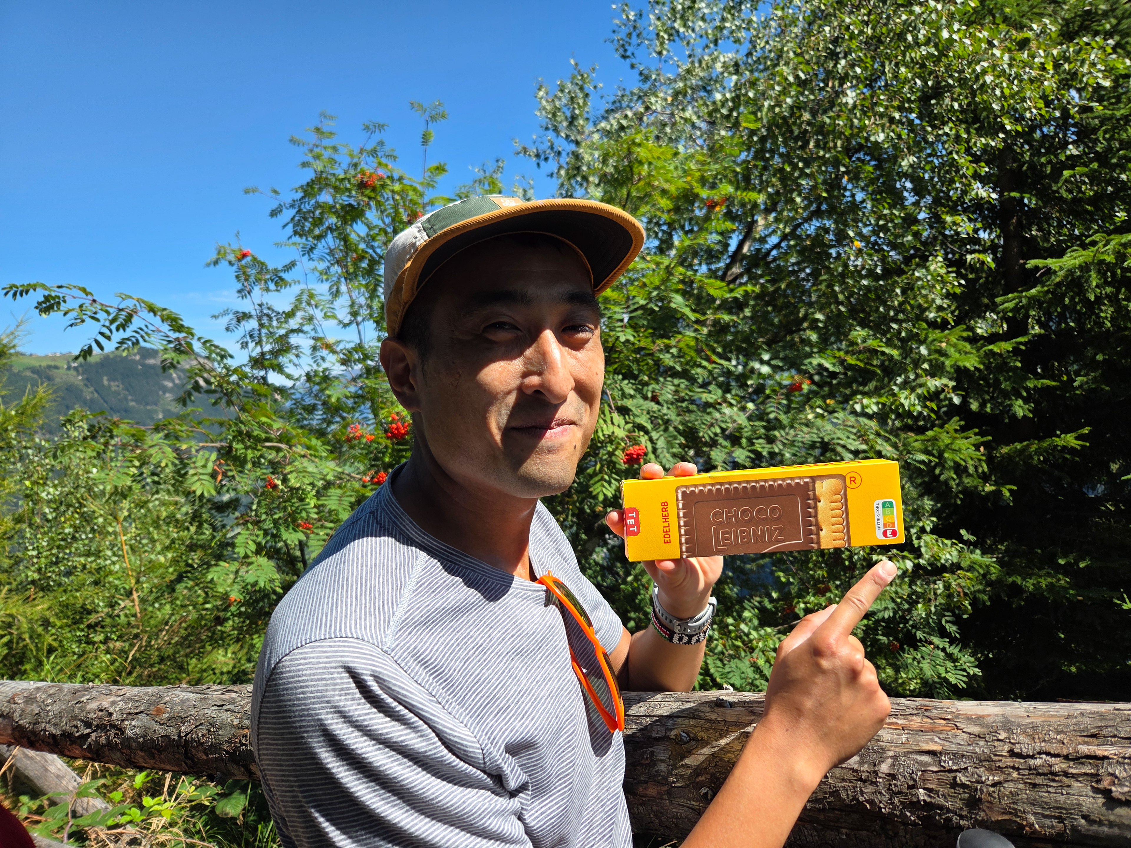
Dan showing off the health grade of the cookie snack he picked up that morning. A is healthiest and E is unhealthiest.
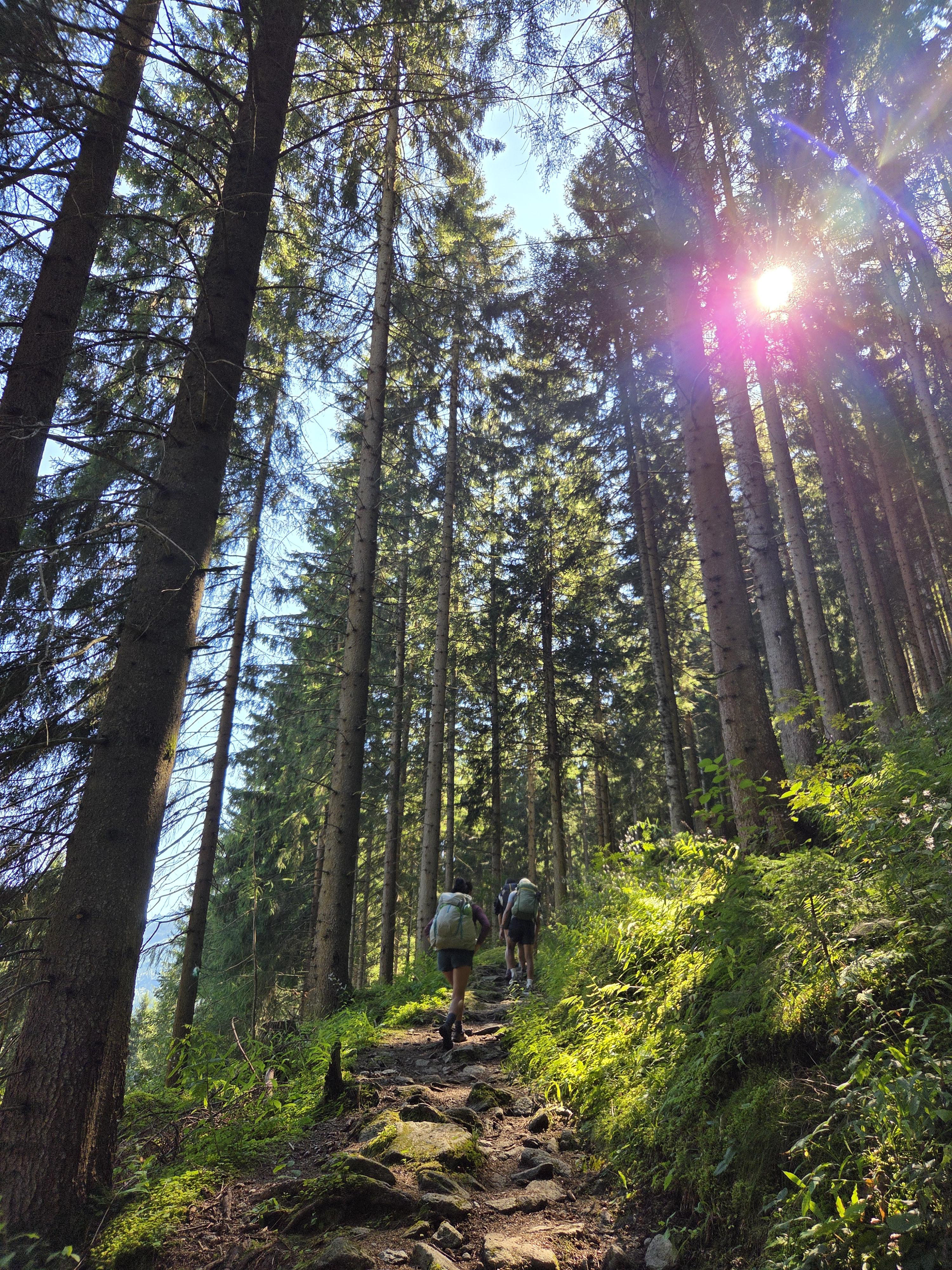
Much of stage 1 resembled this photo - tall trees and a straight ascent.
Found this small area by the trail and found out that the fruit on these bushes... were blueberries! We rested here for a bit while picking and snacking on unlimited blueberries!
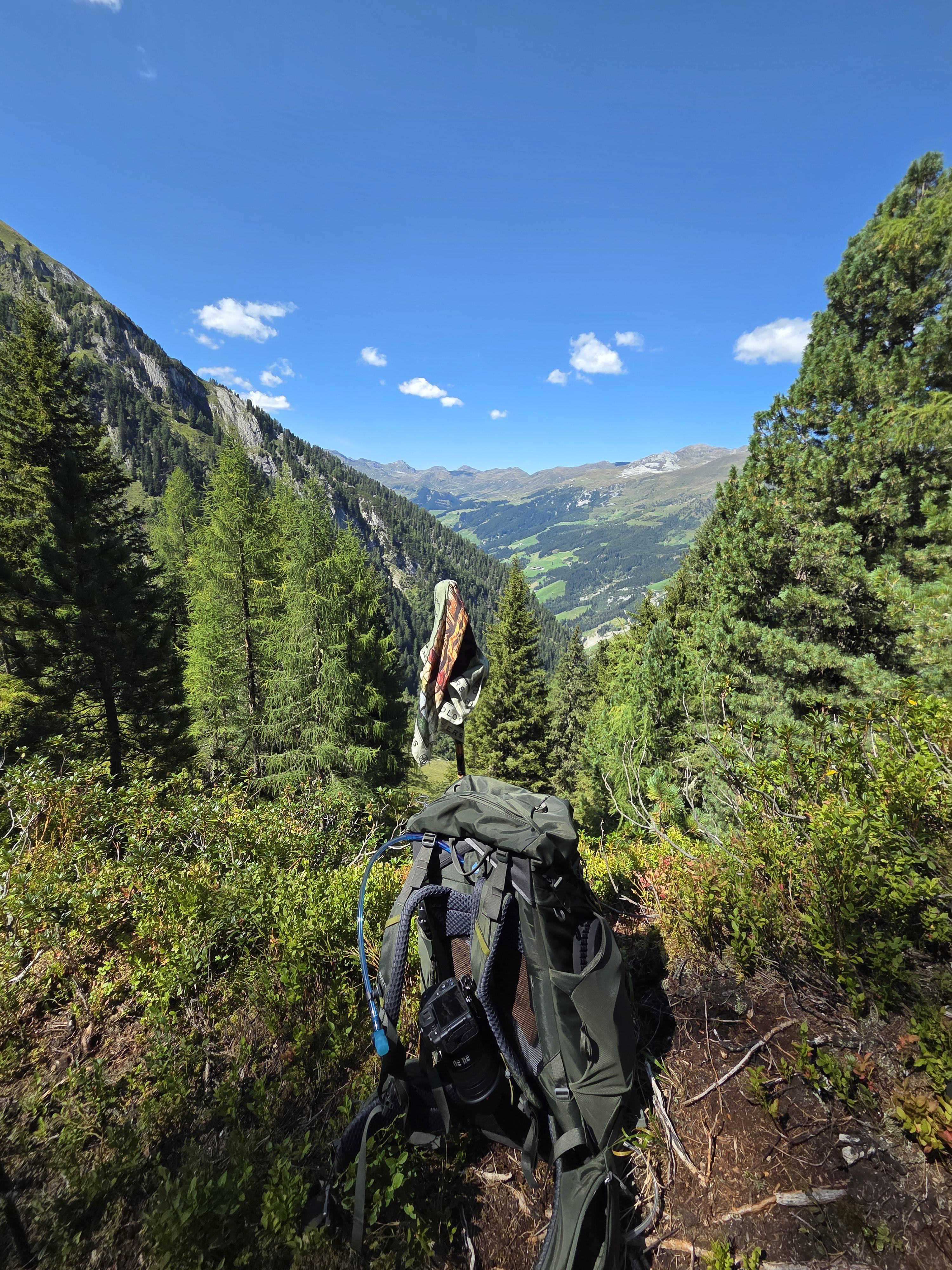
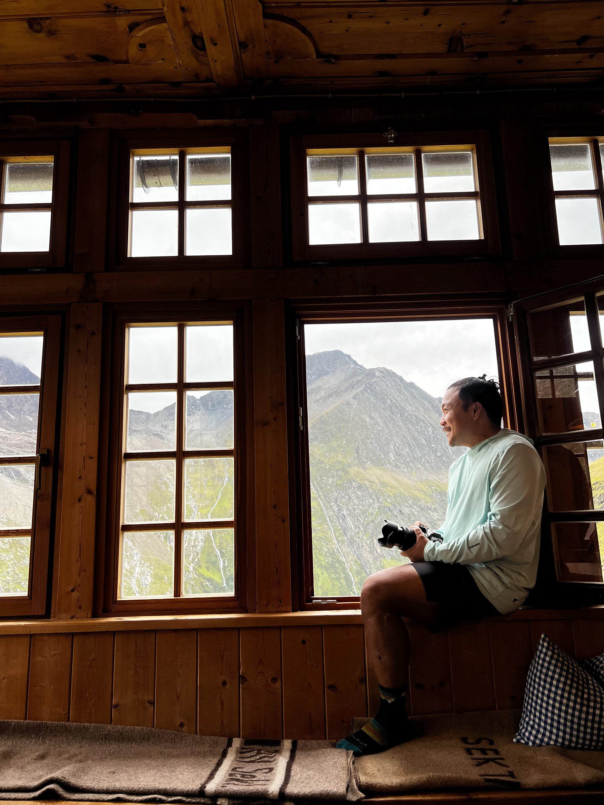
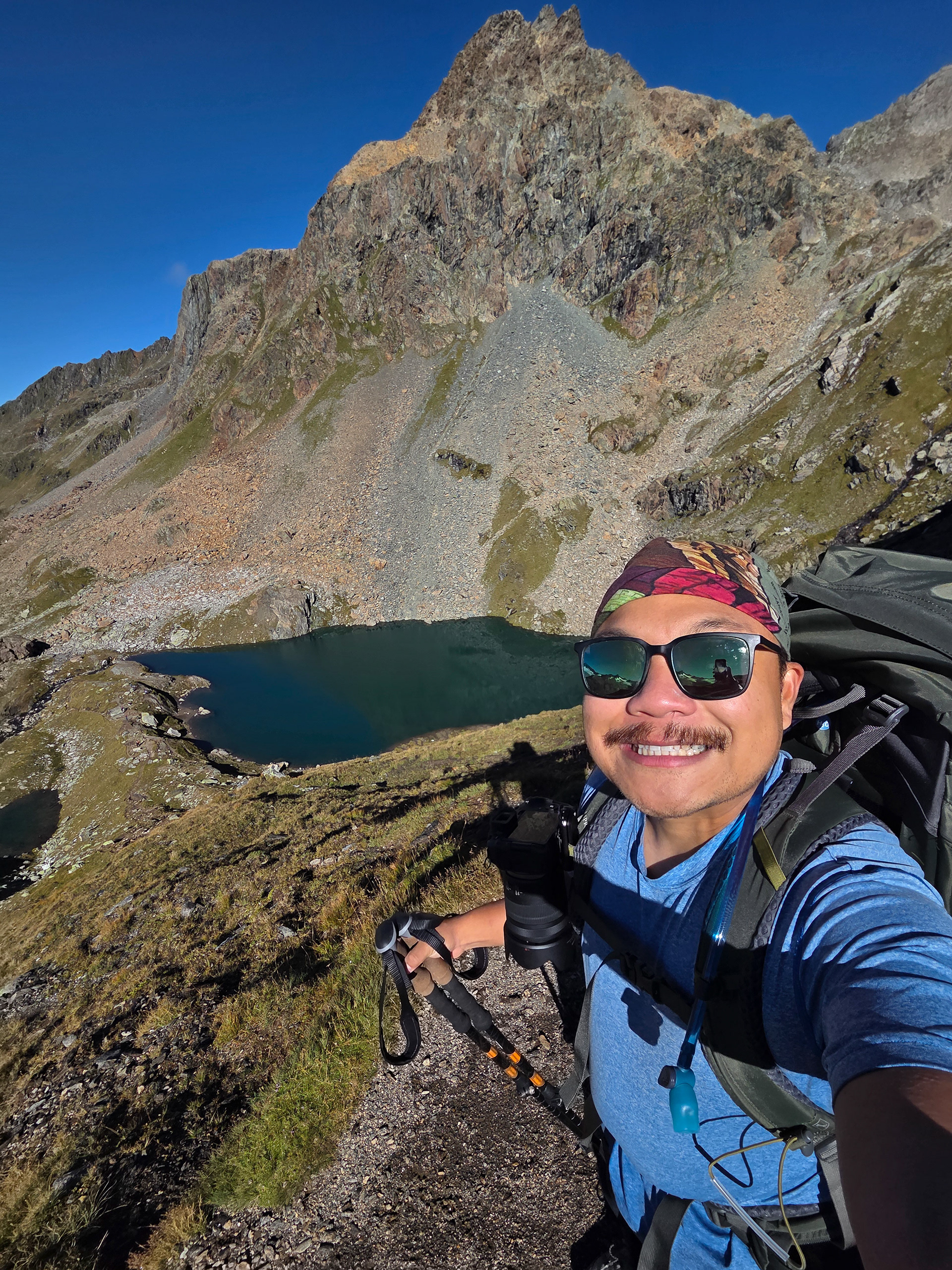
A picture of my gear with the view.
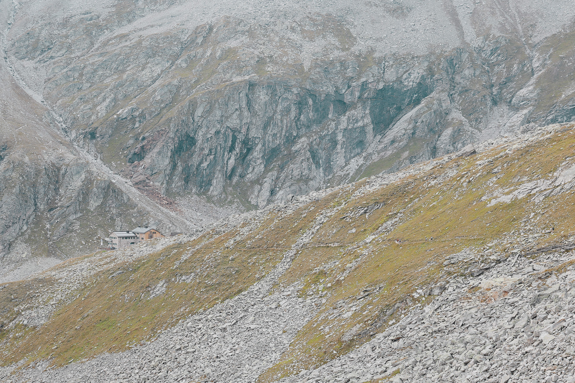
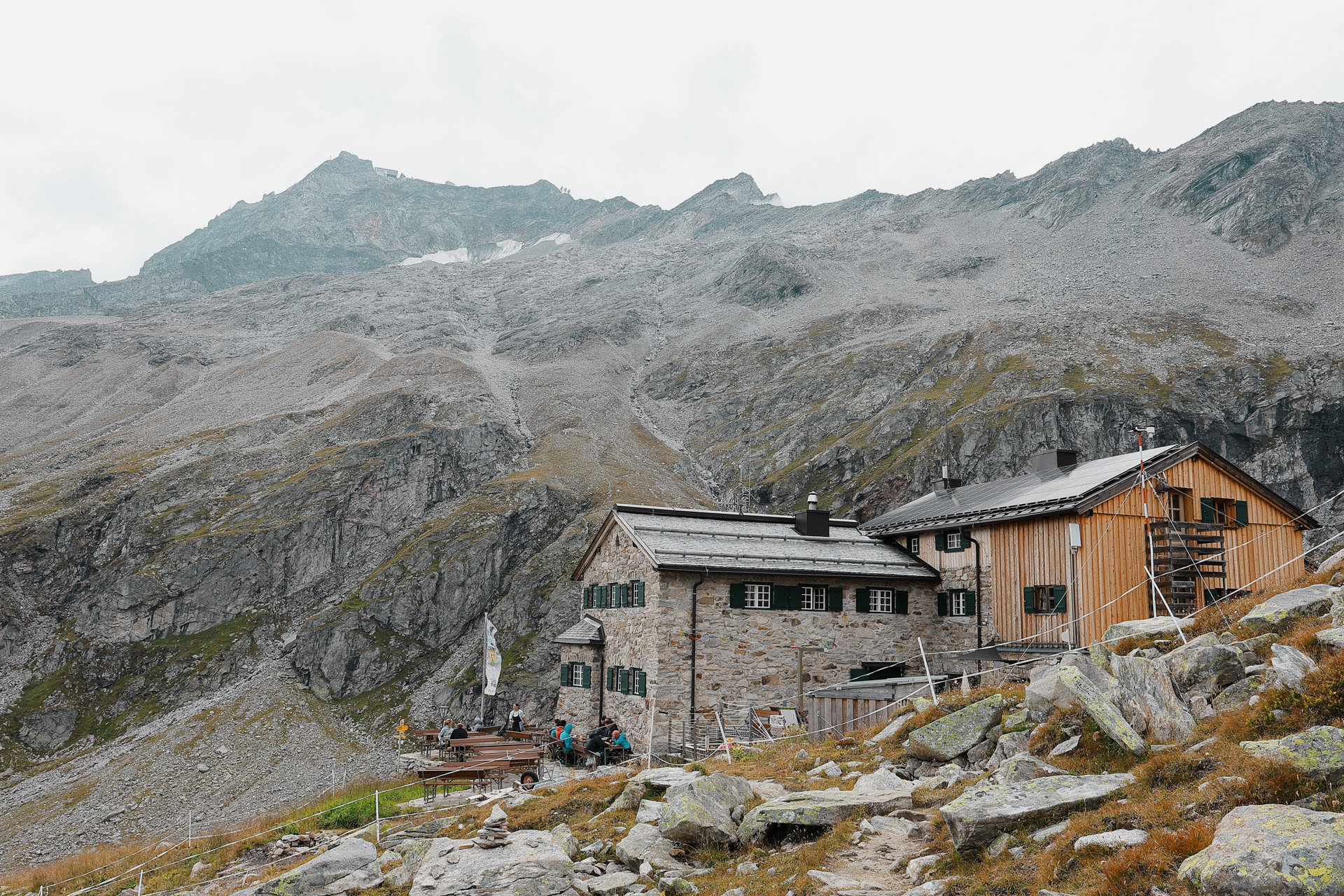
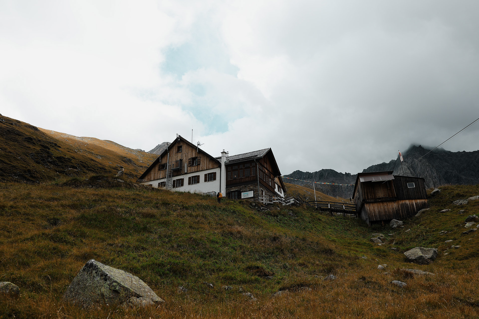
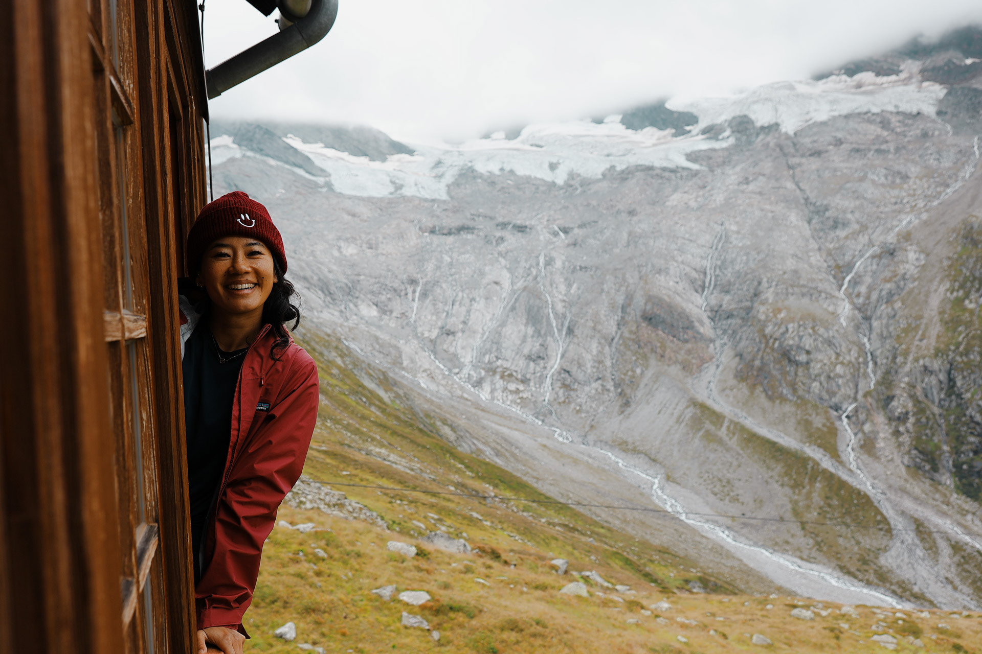
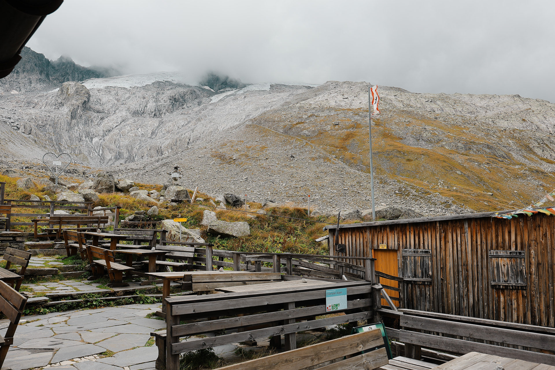
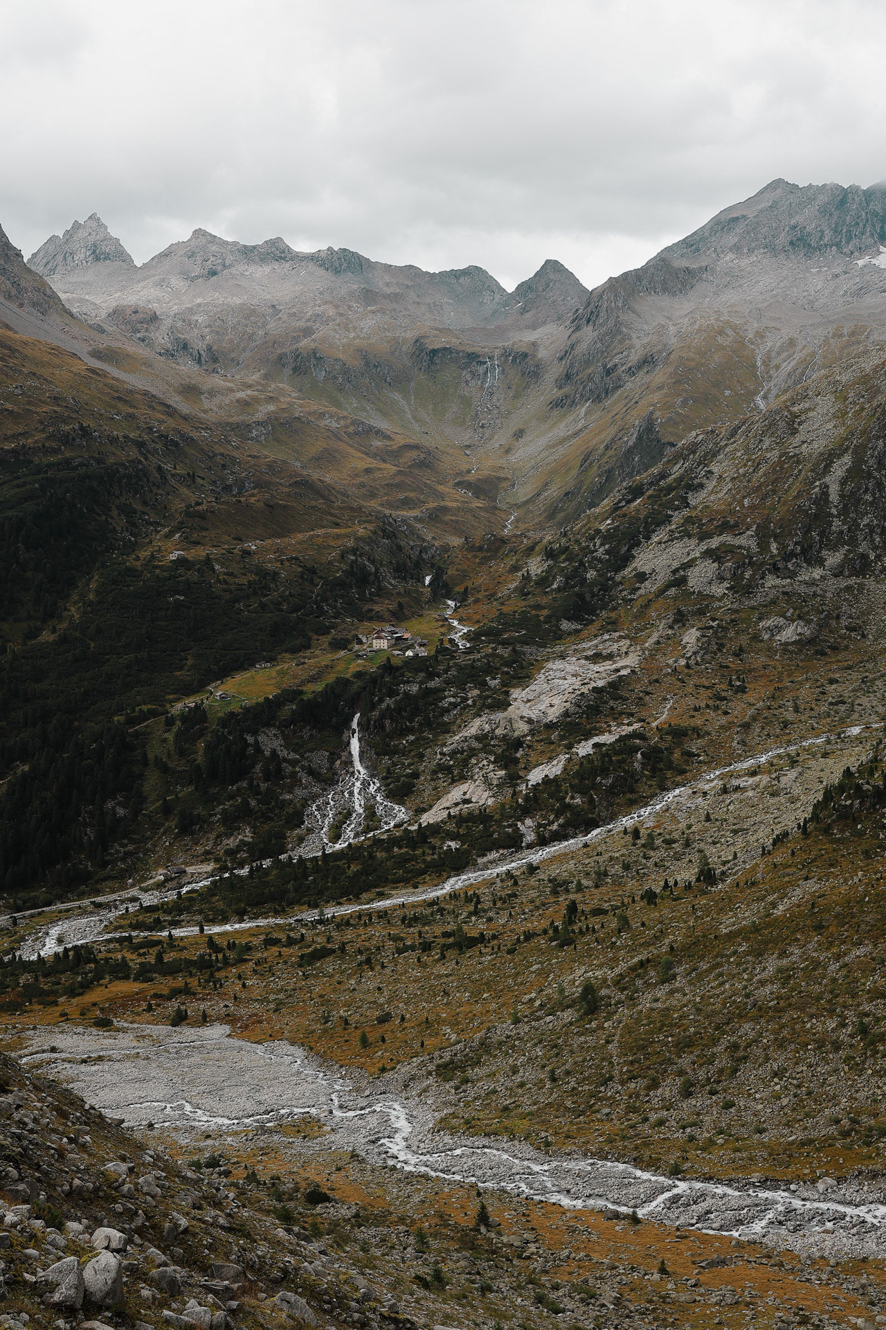
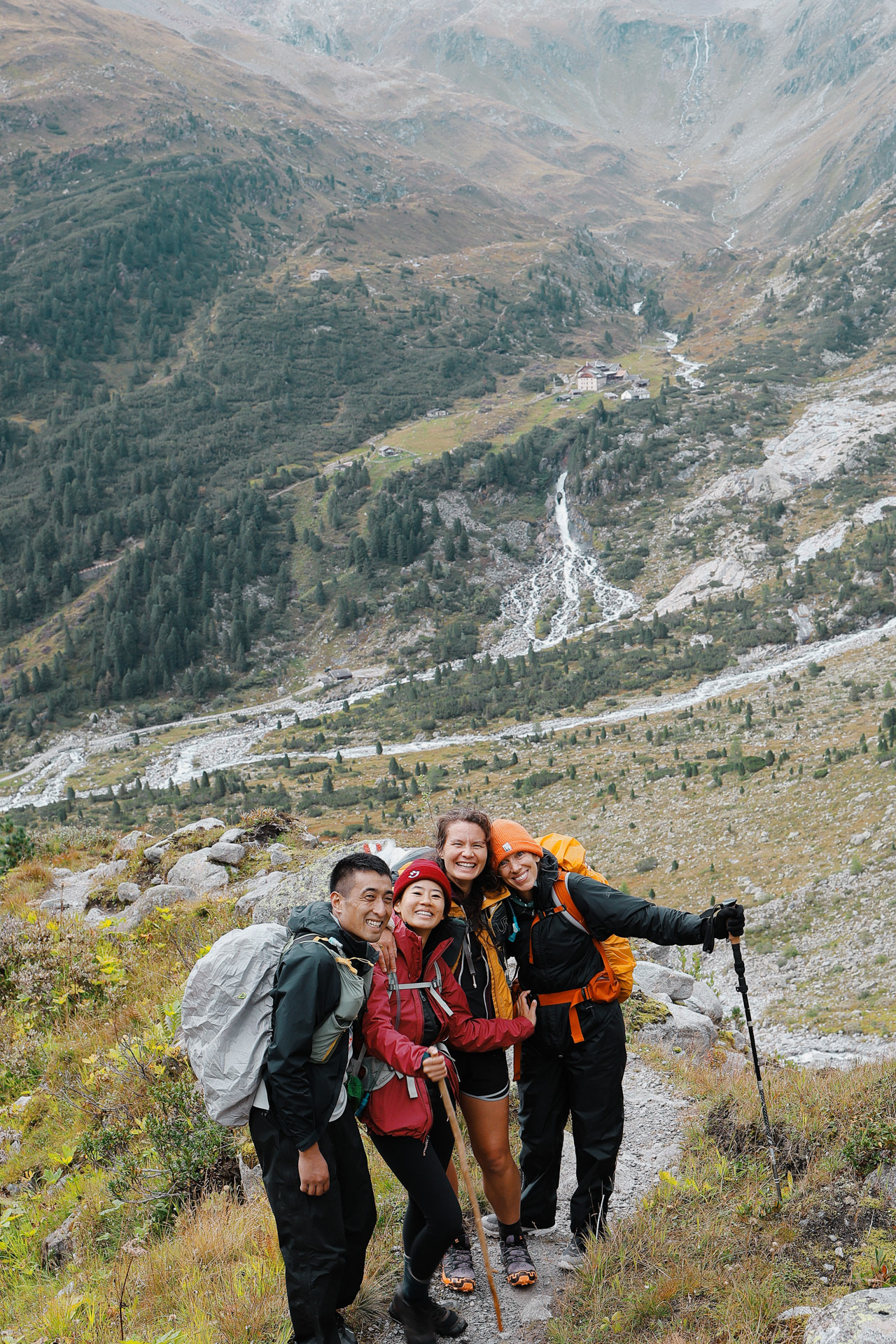
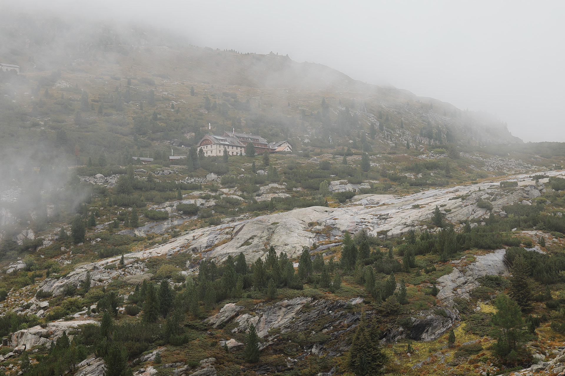
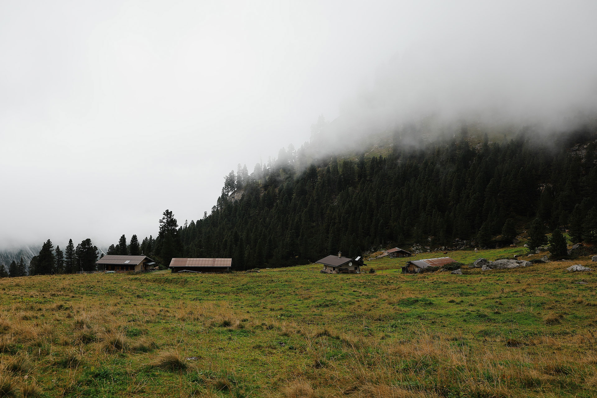
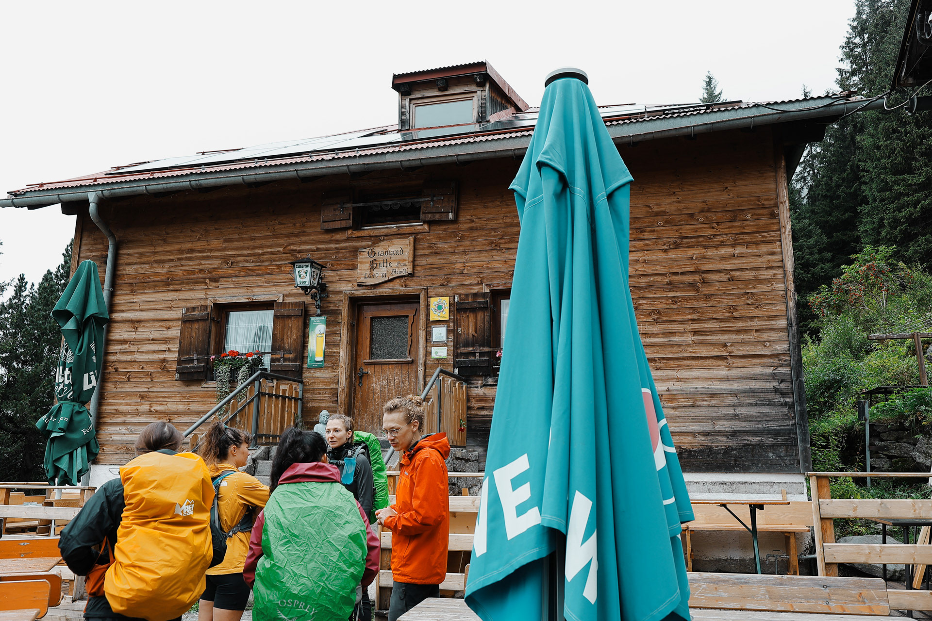
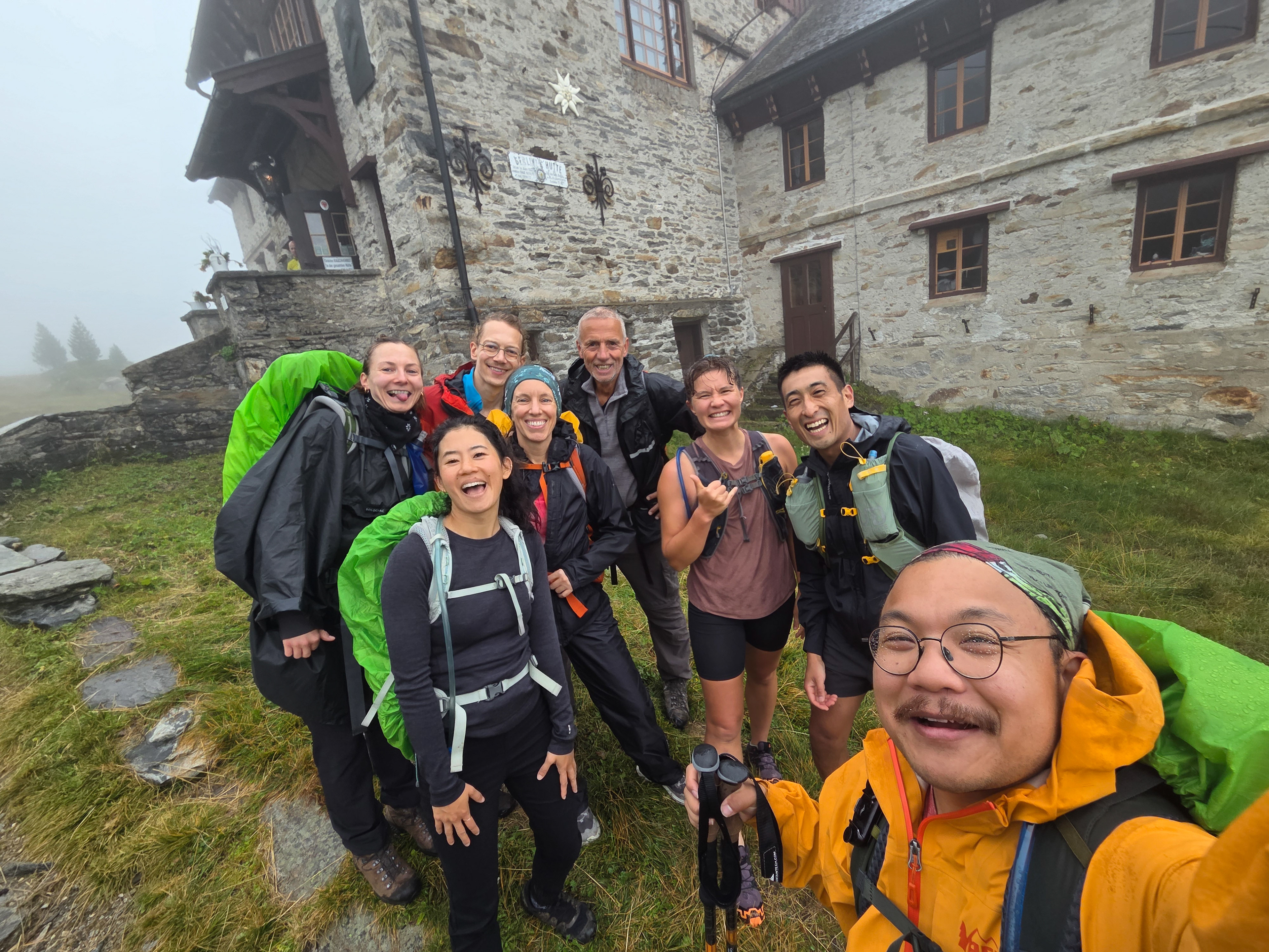
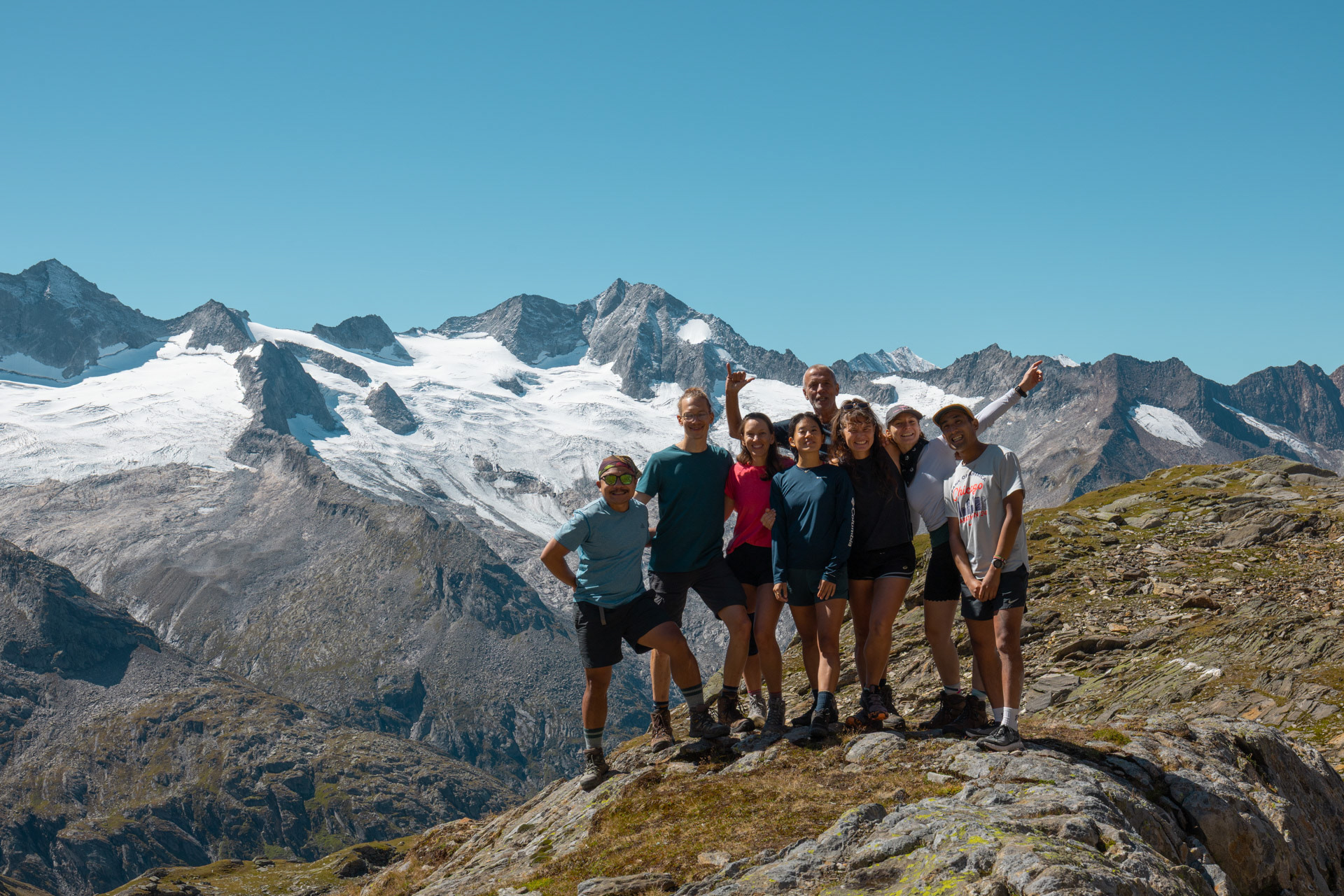
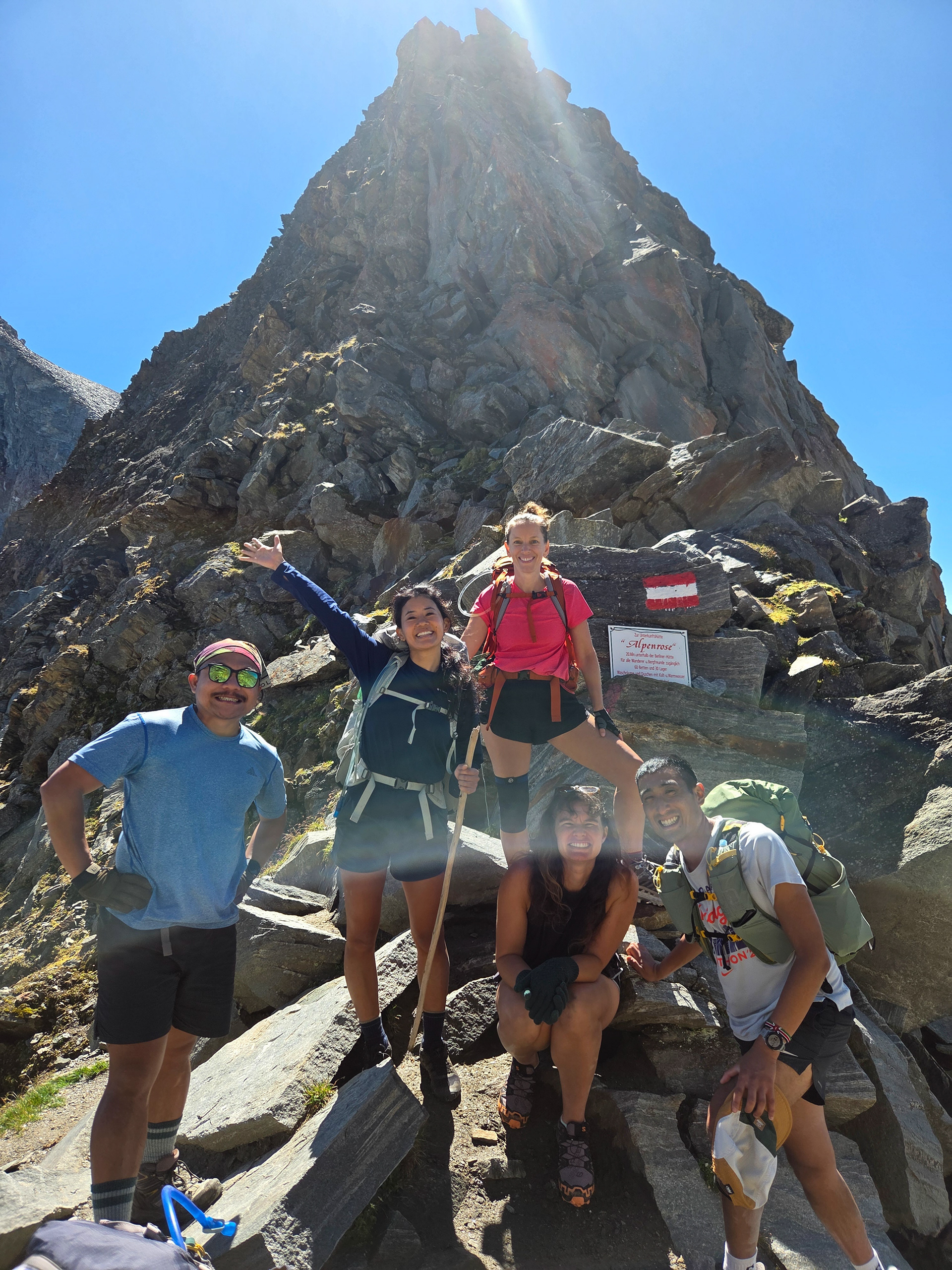
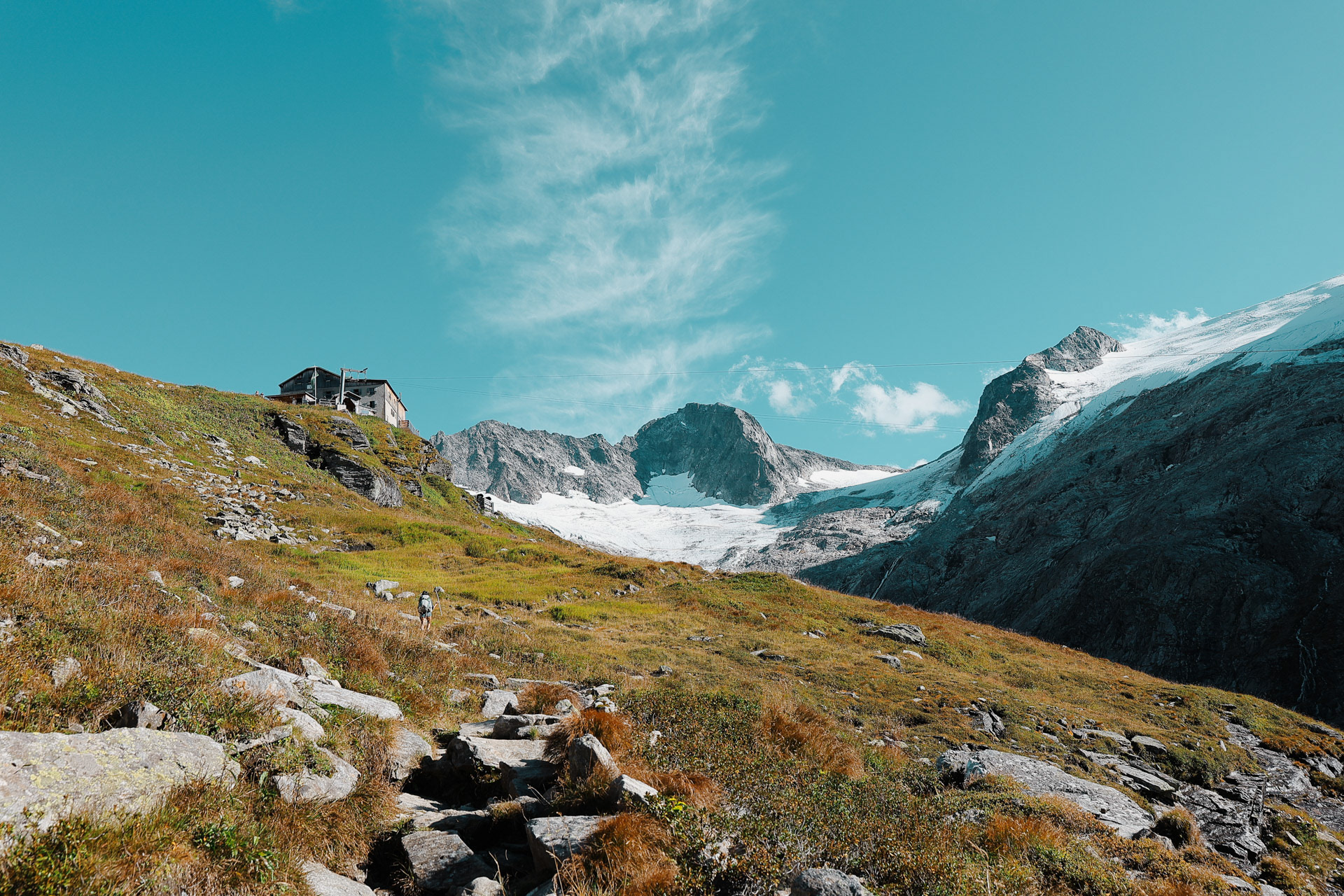
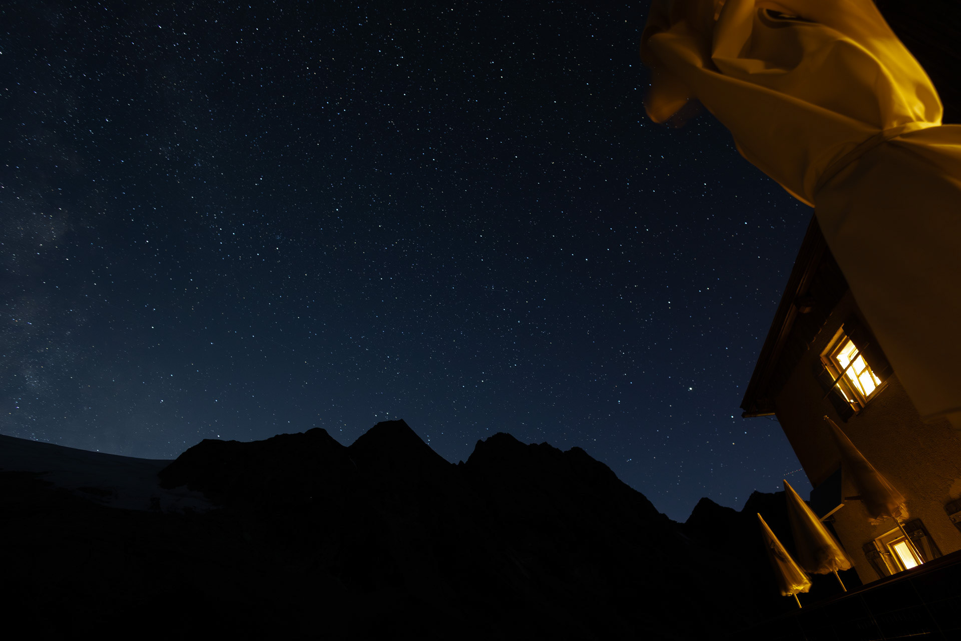
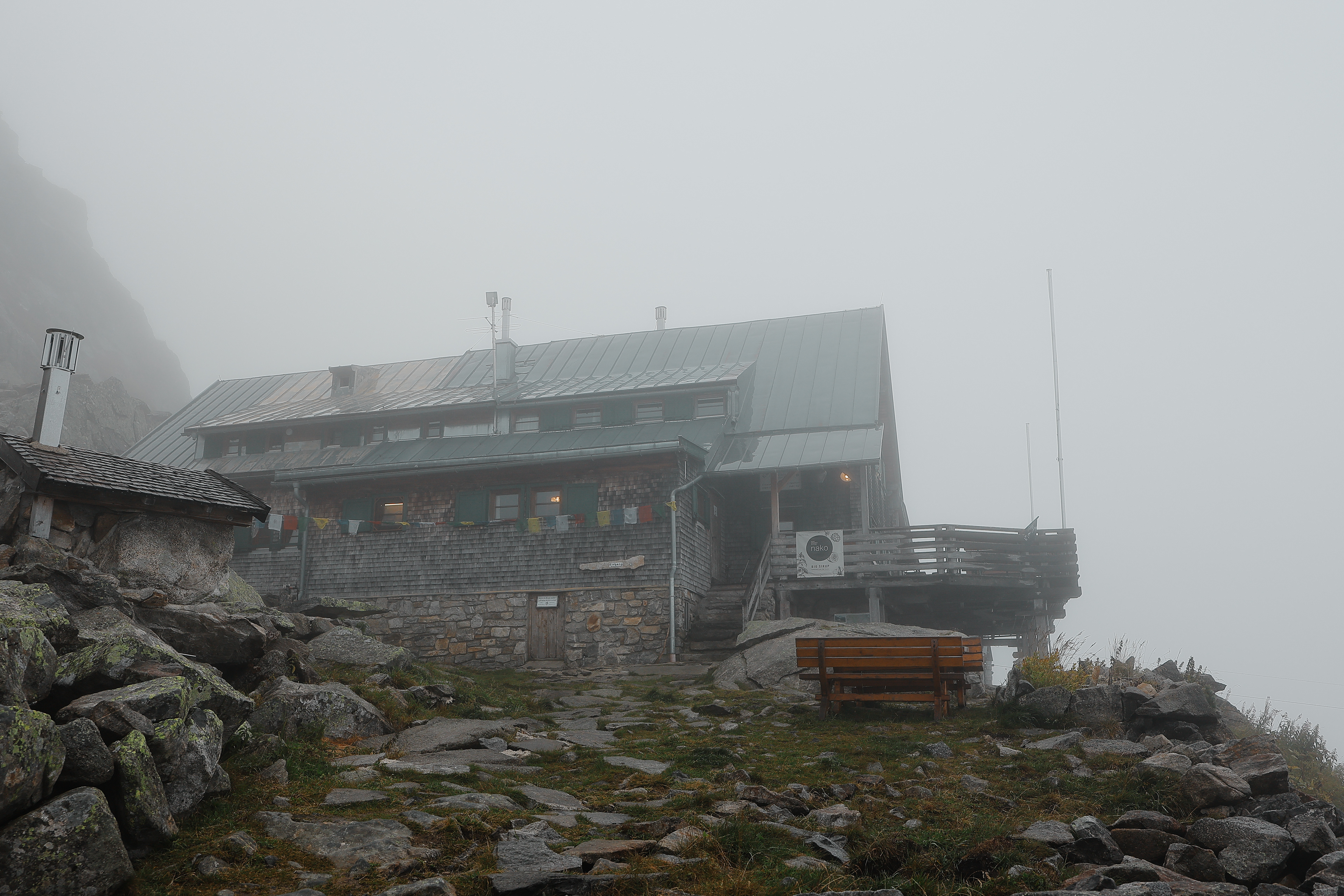
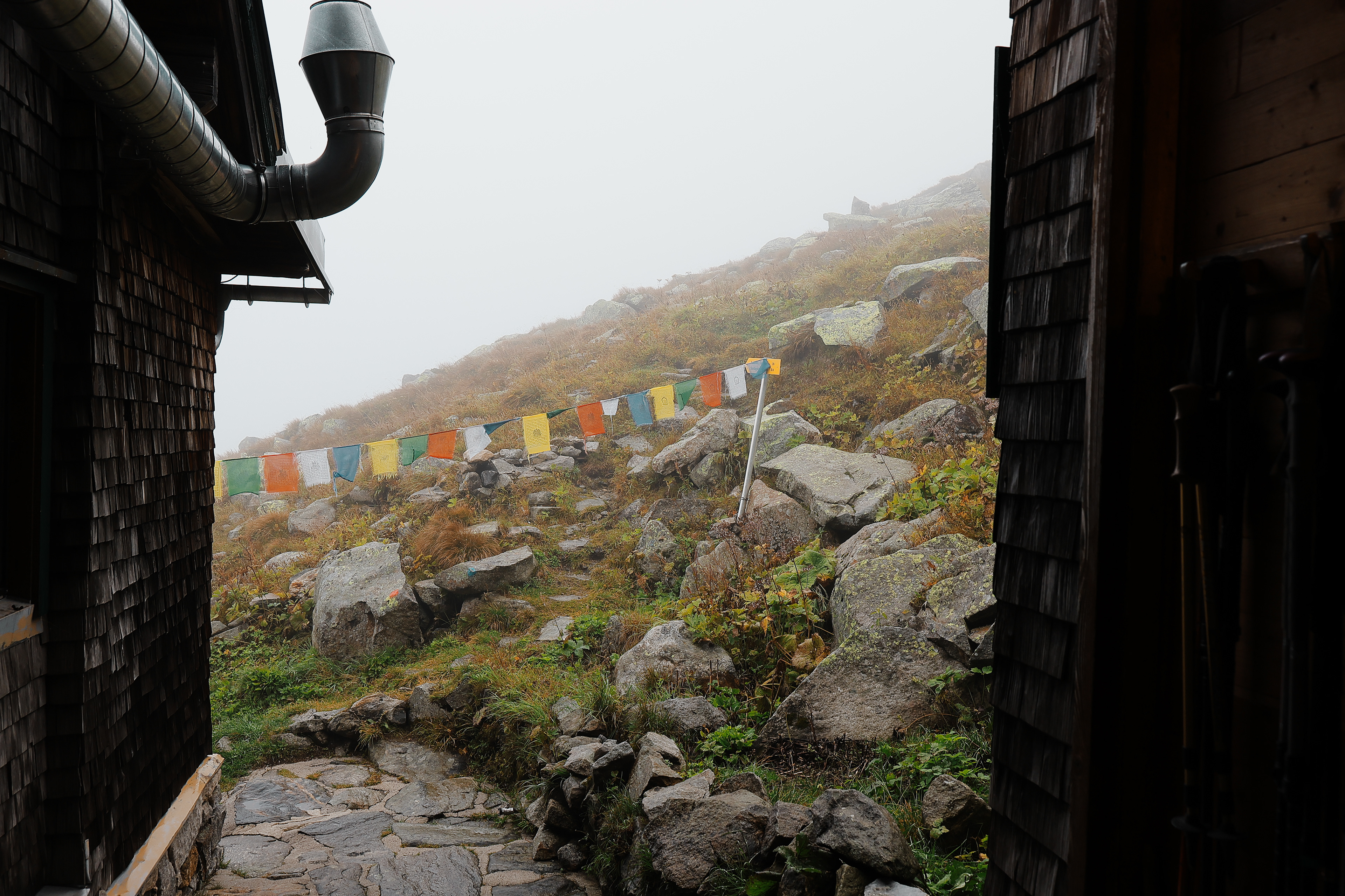
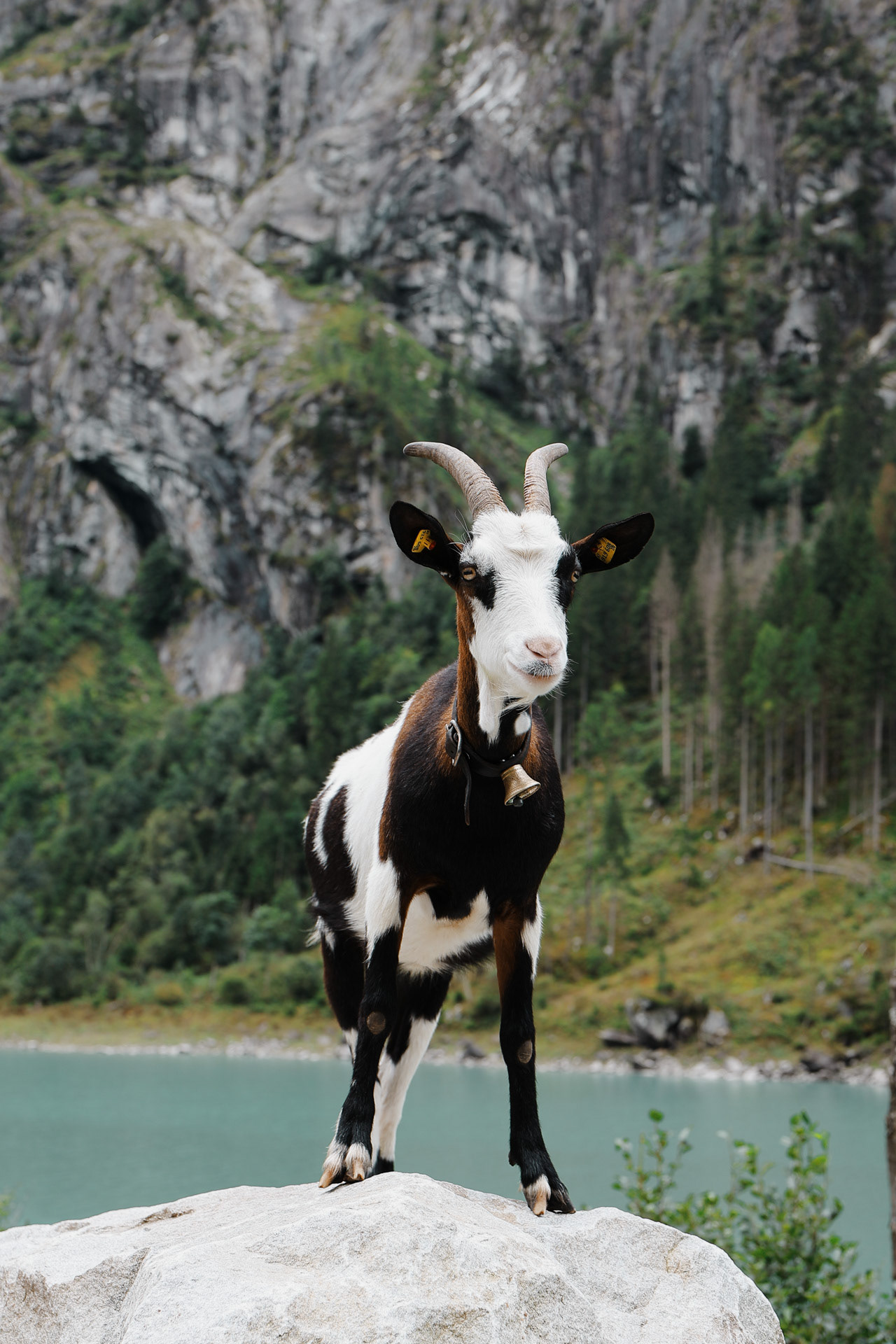
Gamshütte! Made it to our first hut! Gamshütte is named after Gams or Chamois, a type of mountain goat found in the region. Ironically, it is one animal we did not see on the whole trek! Also from here on out, cellphone signal was pretty sparse. We were pretty off the grid until we returned to Mayrhofen.
Group pic with the mountains and the first time I used my tripod. Only time will tell if 2lbs extra was worth lugging around! I am only realizing now, while reviewing these shots, how annoyed I am that I was wearing my prescription sunglasses in numerous pictures. Lesson learned: who cares if you end up squinting? Take your sunnies off when getting your picture taken!
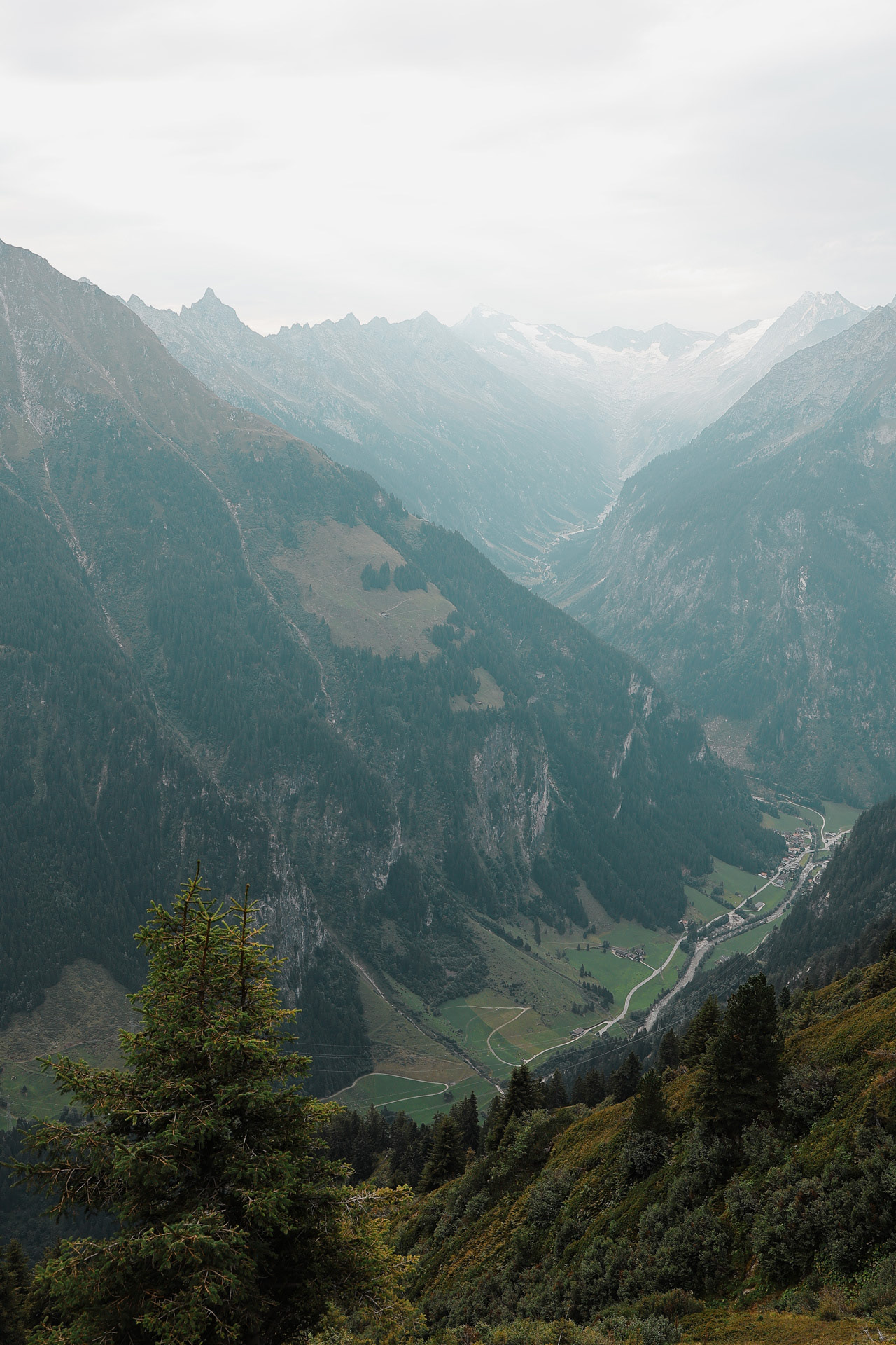
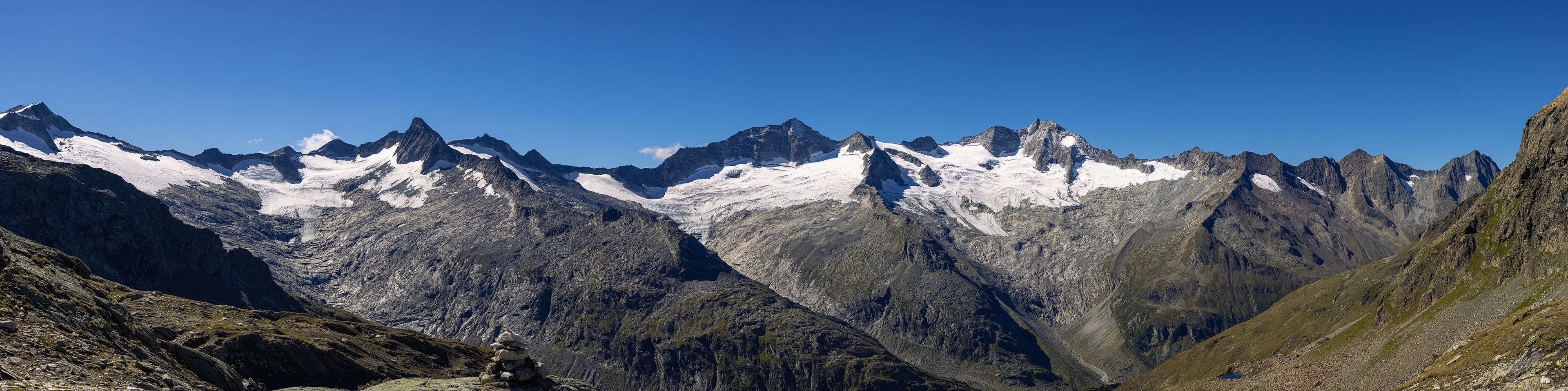
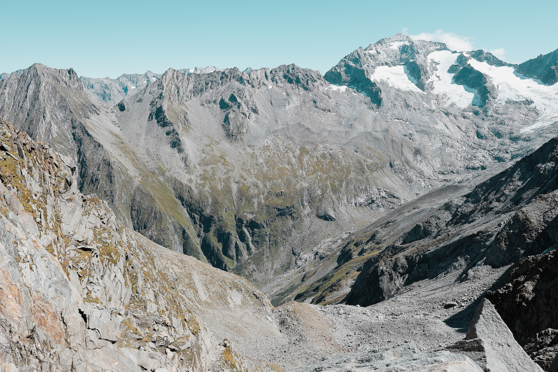
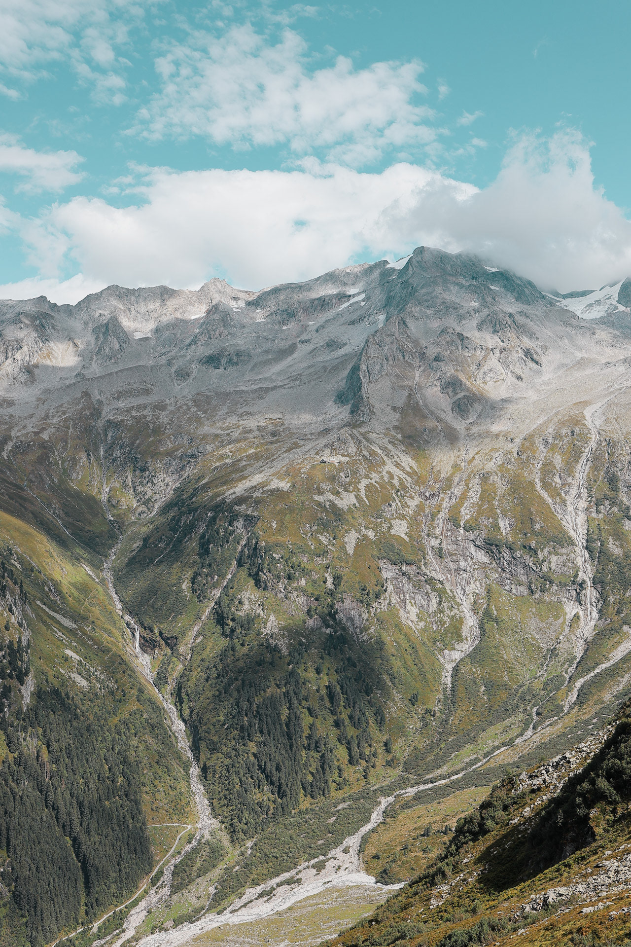
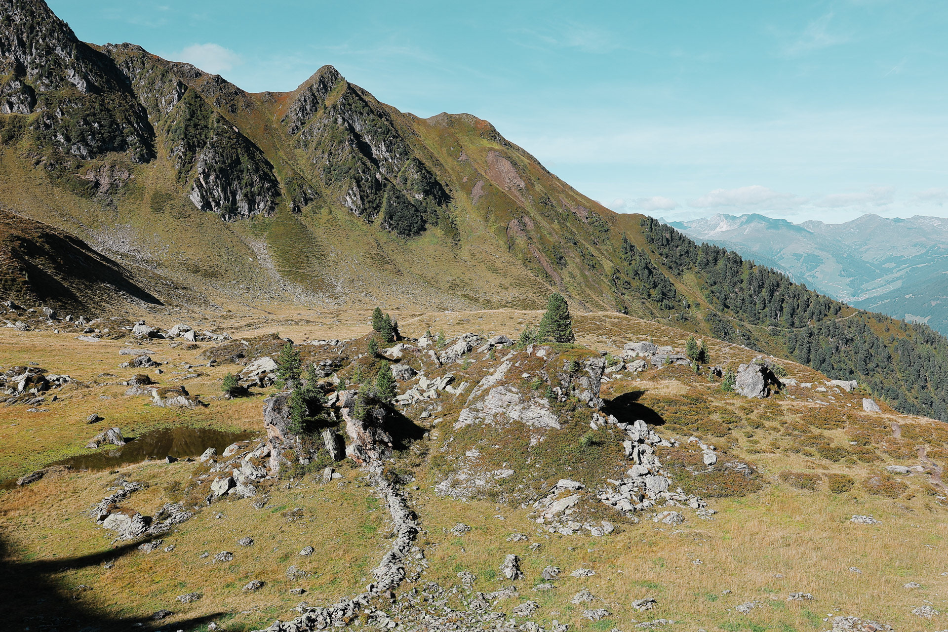
Floitengrund, a side valley of Zillertal. Greizer Hutte is somewhere in the left side of this valley, which we hike to on Day 5.
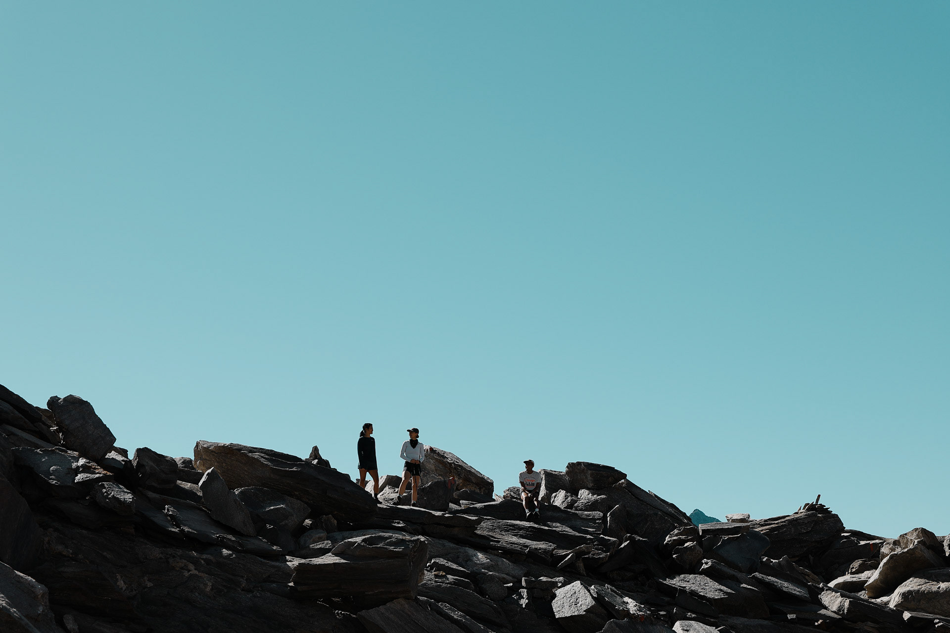
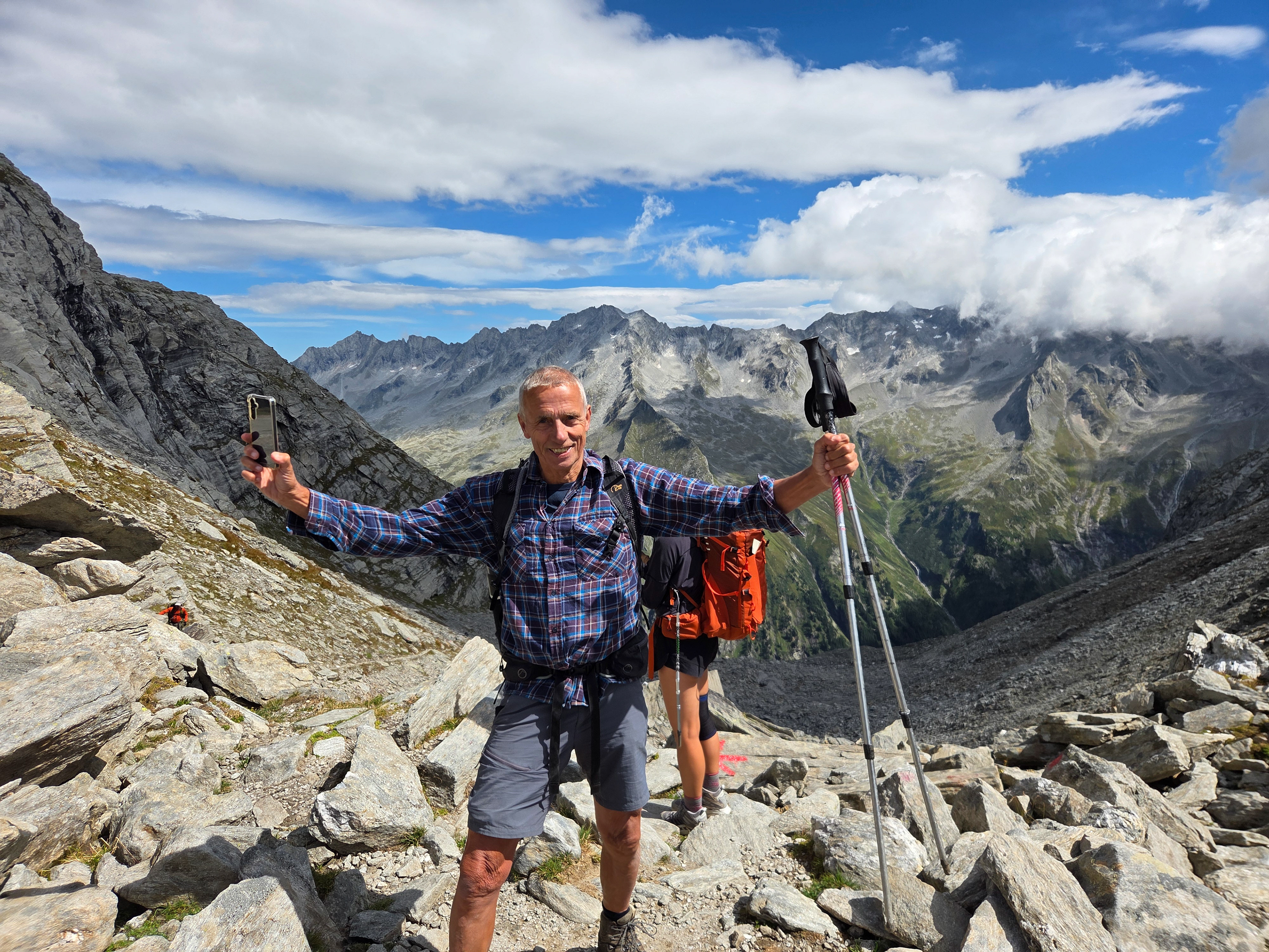
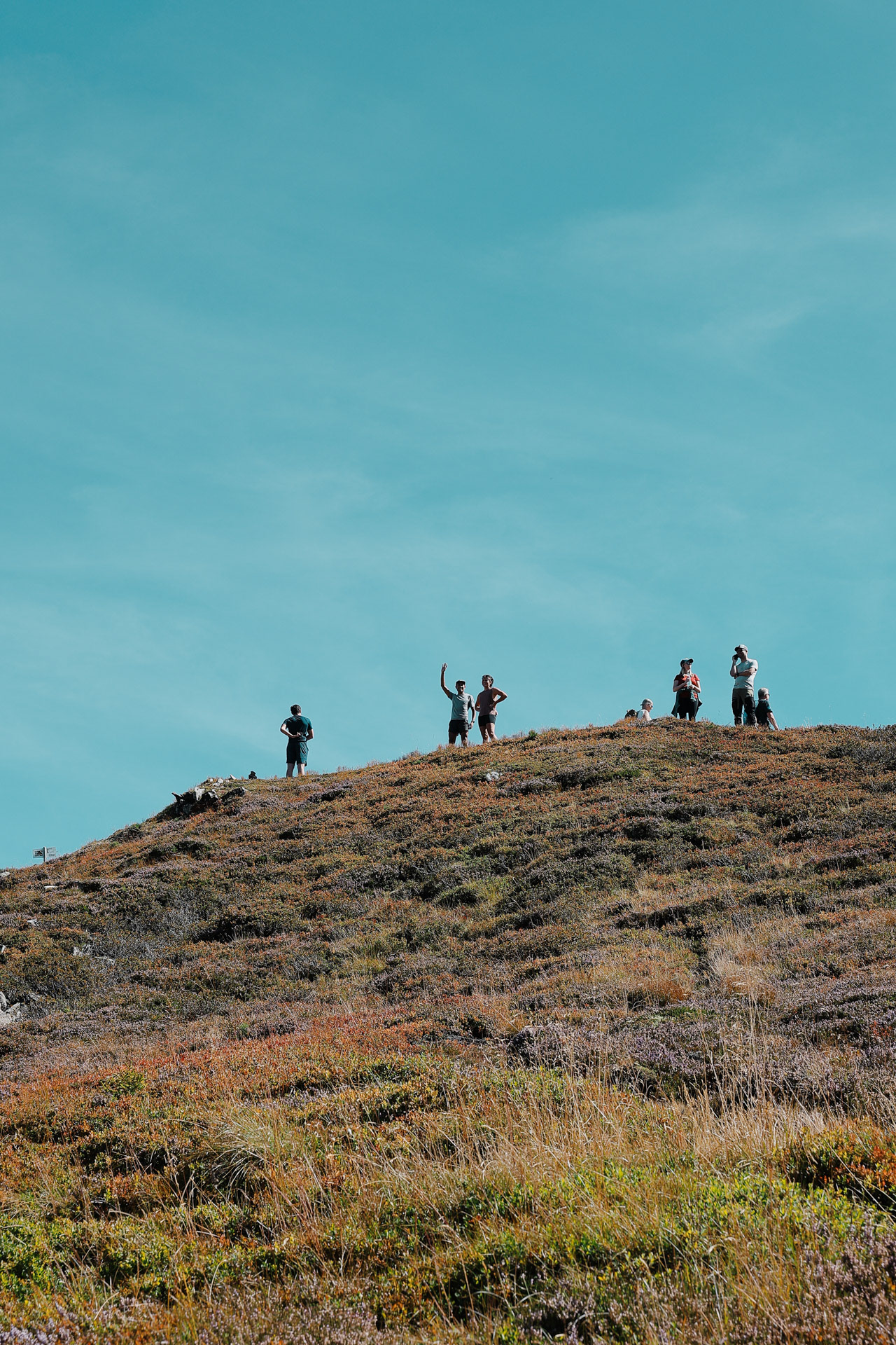
An afternoon snack! Note the people in the back between Eva and I's heads (click to zoom), might be important for later...
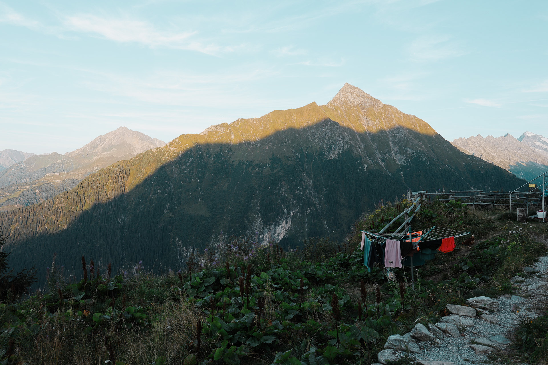
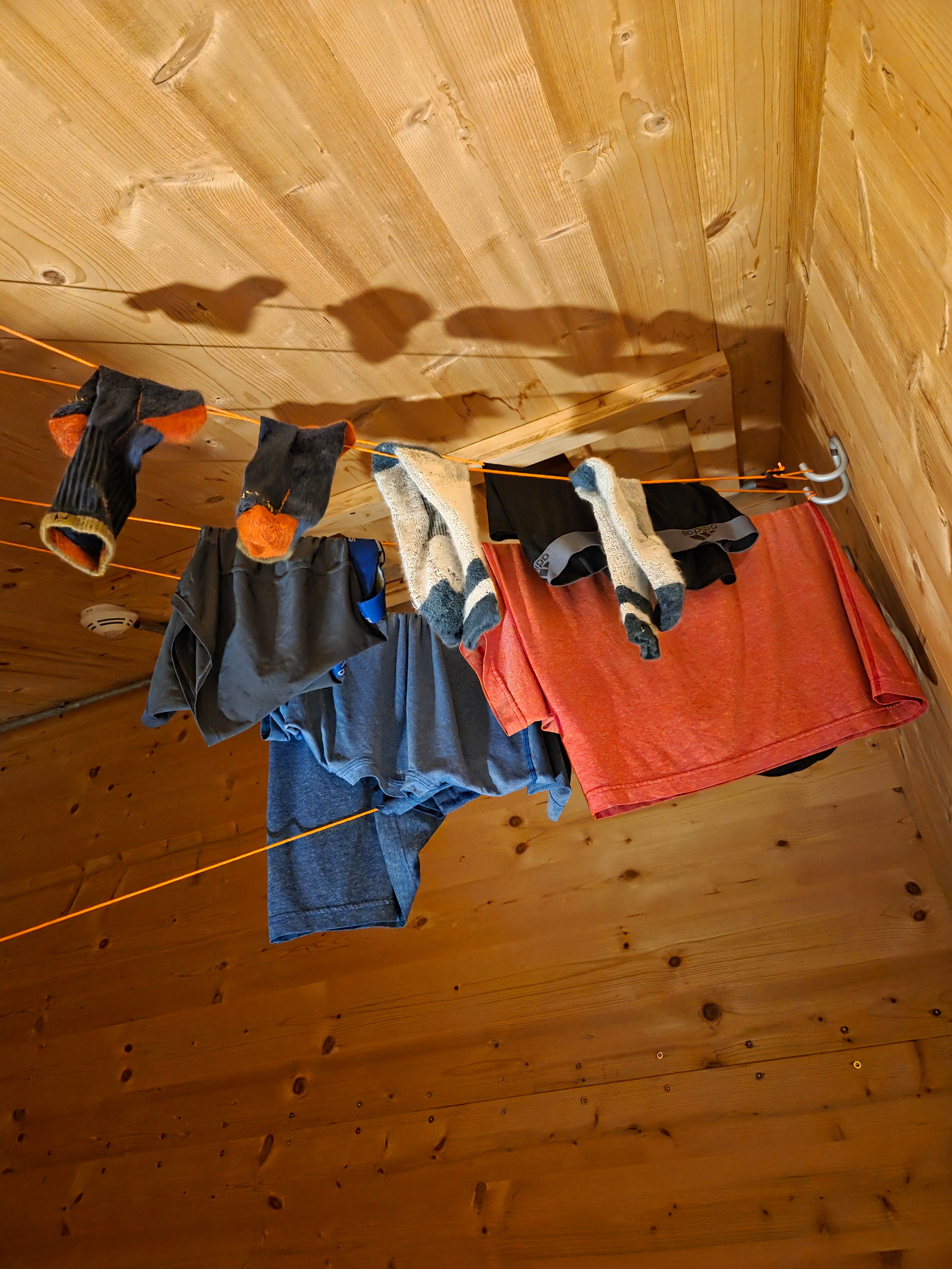
There are no washing machines on this trail. Everyone hand washes clothes and the huts have places for wet objects to hang drying. Gamshütte’s lines were outside but fancier huts had climate controlled drying rooms.
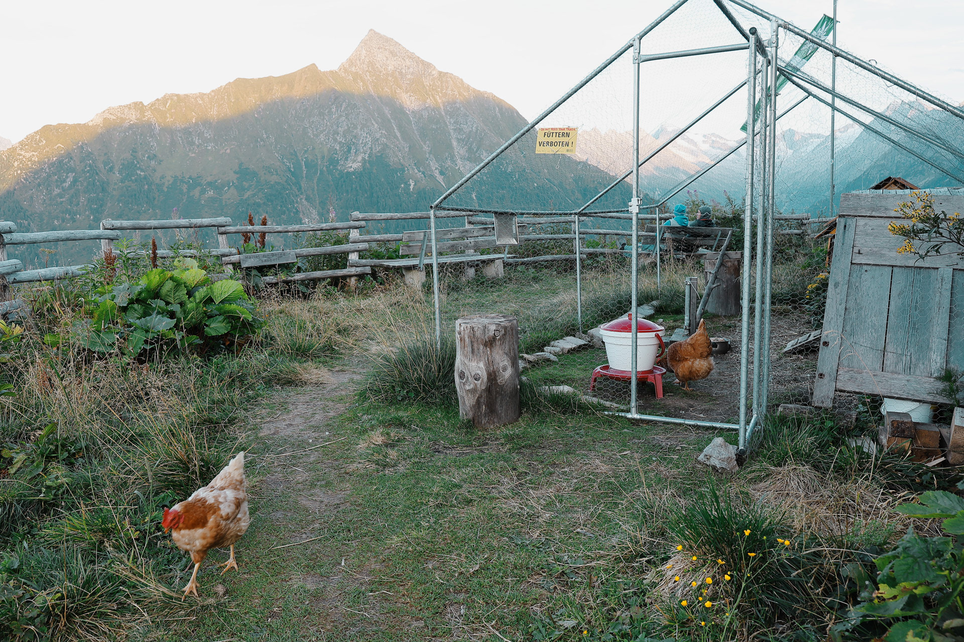
Die Hühner, or the chickens.
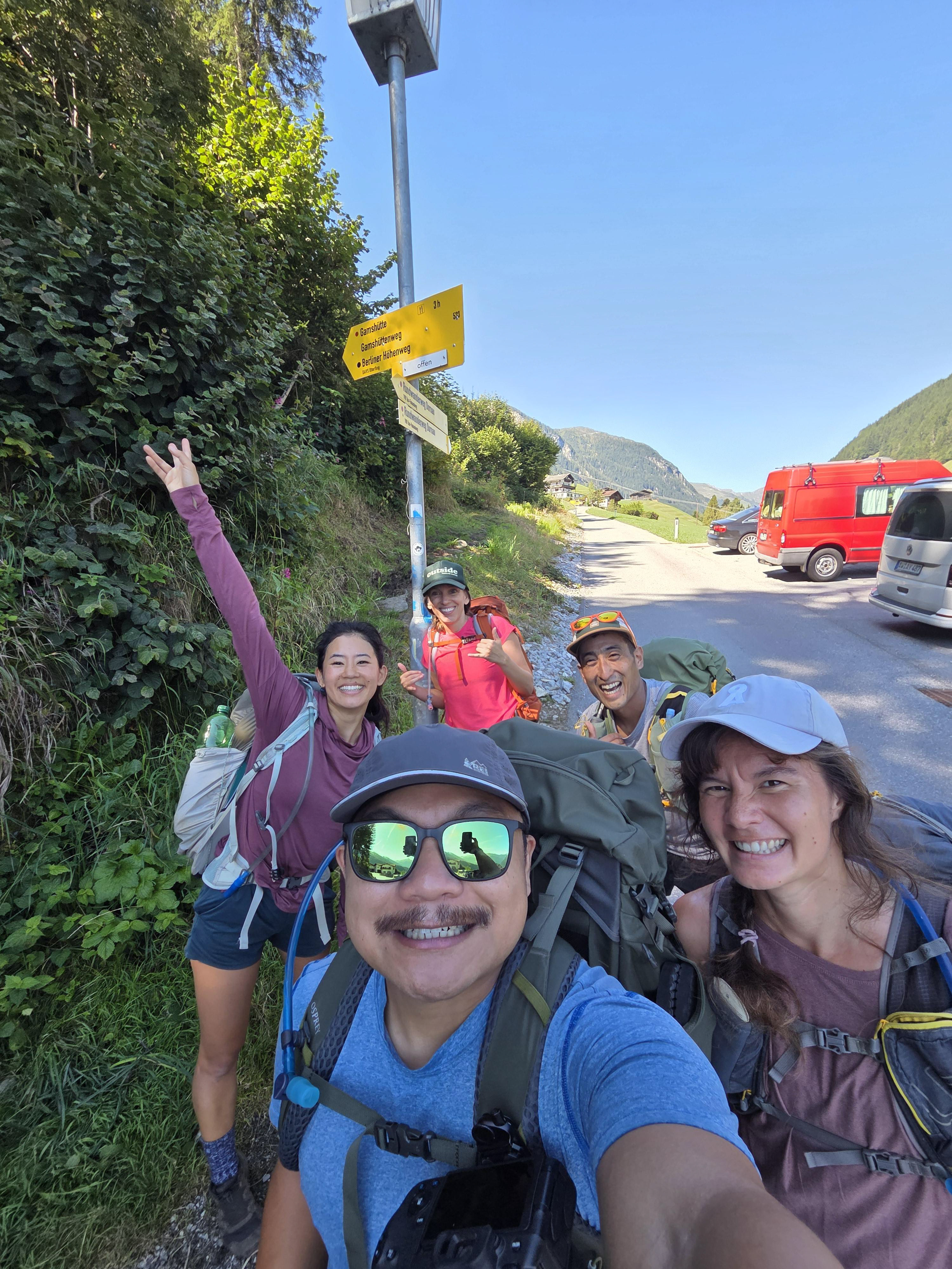
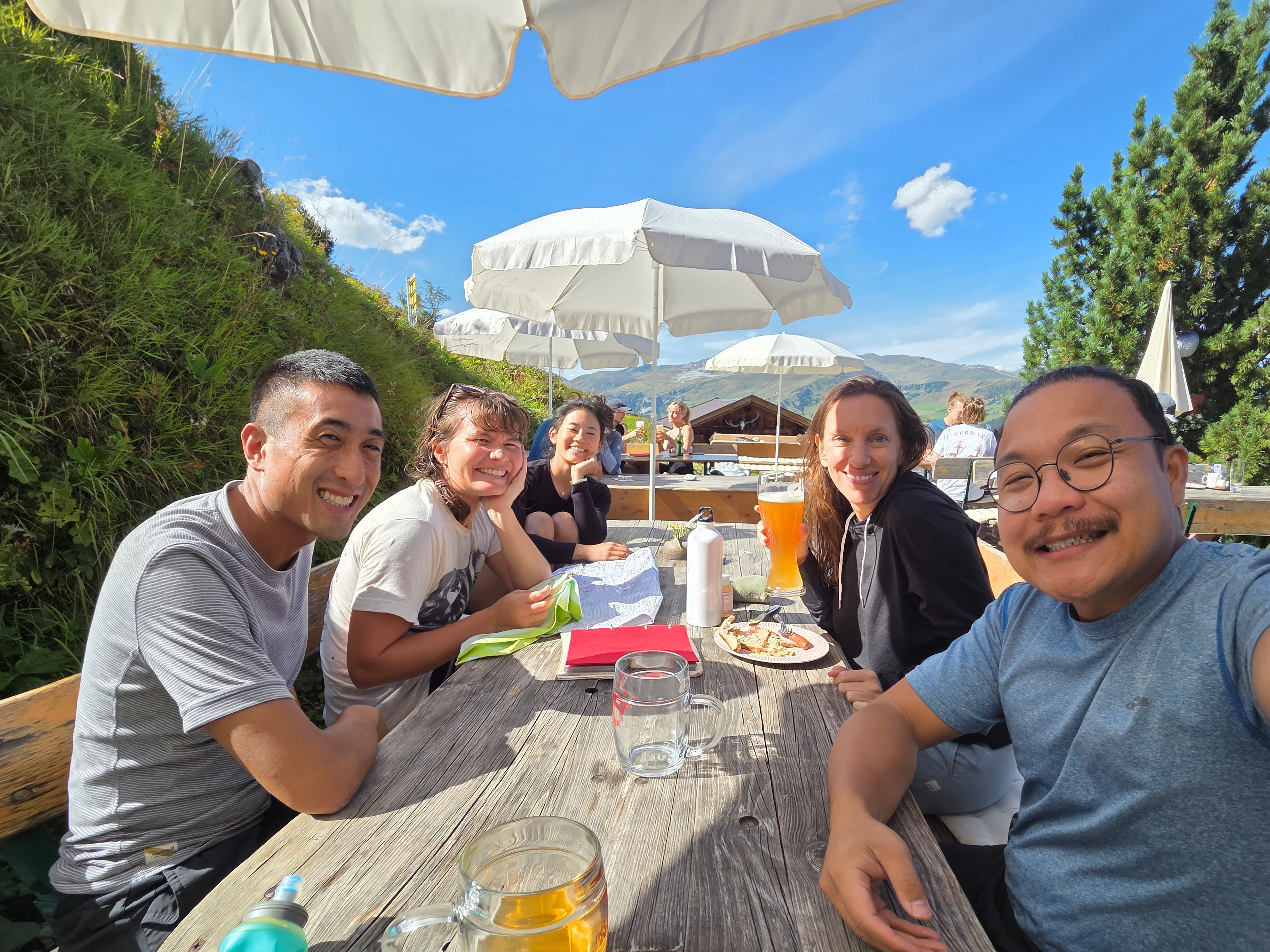
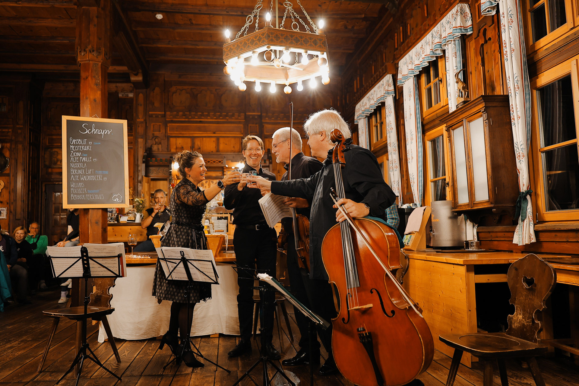
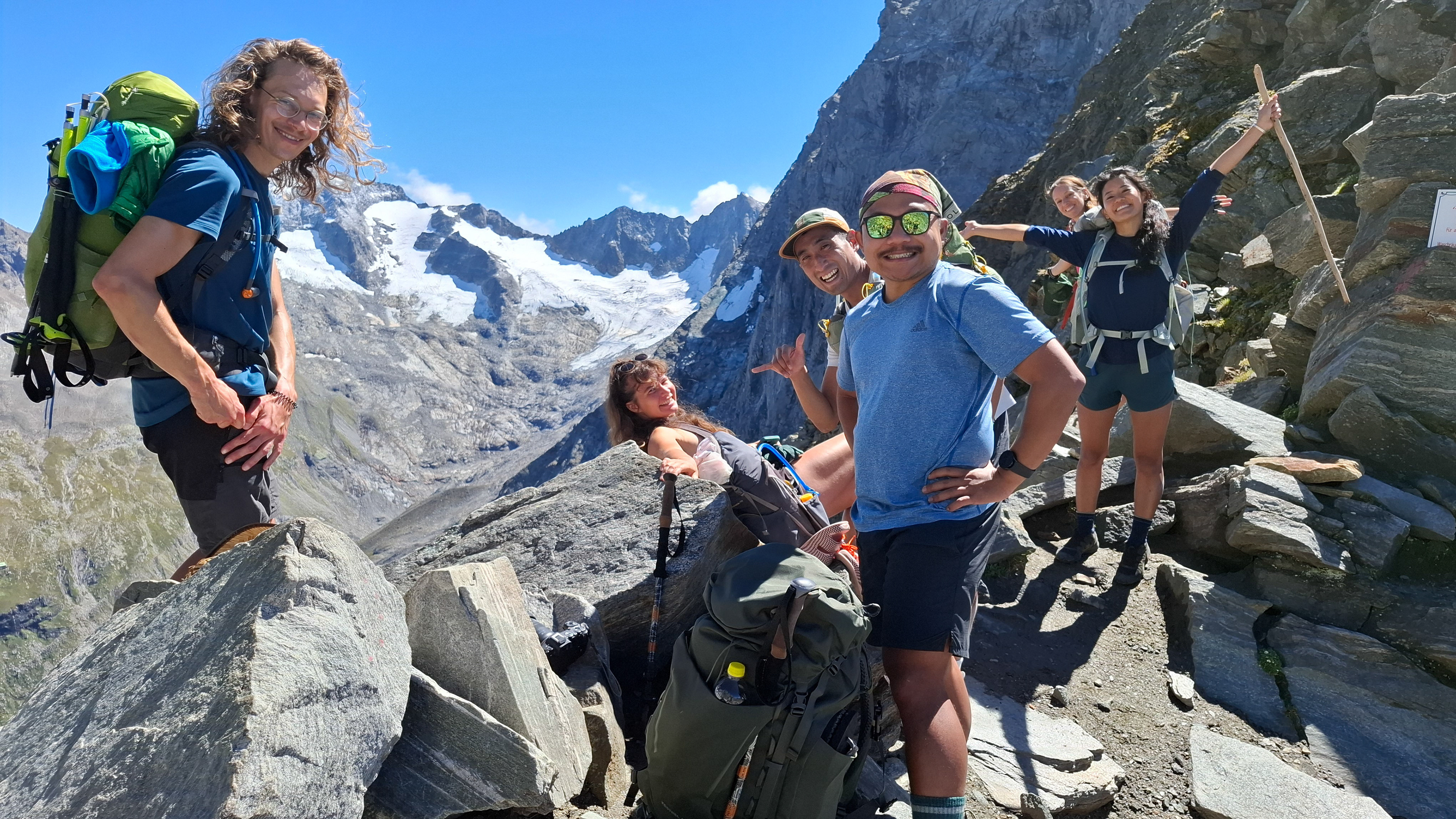
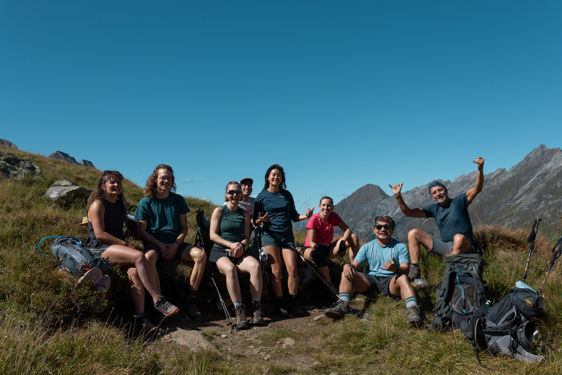
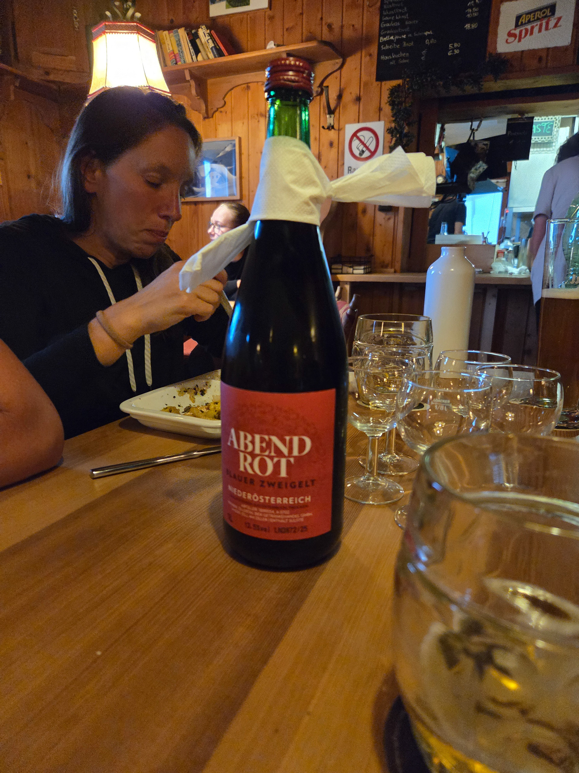
L-R: Rene and Lucy (Germany), Fritz (Germany), Morgan, Einny, Dan, Karl, and me. Being in the huts, you of course meet a lot of the other backpackers and most people are friendly and would love to converse and get to know people. We stood out because we were Americans, and apparently there's not that many 'round these parts. In the whole nine days we met two other Americans. The majority of the hikers we met were German (maybe 80%). The ones in this picture taught us the German card game Mau-Mau while we taught them Uno! Fritz tells us that he'll see us in the next hut.
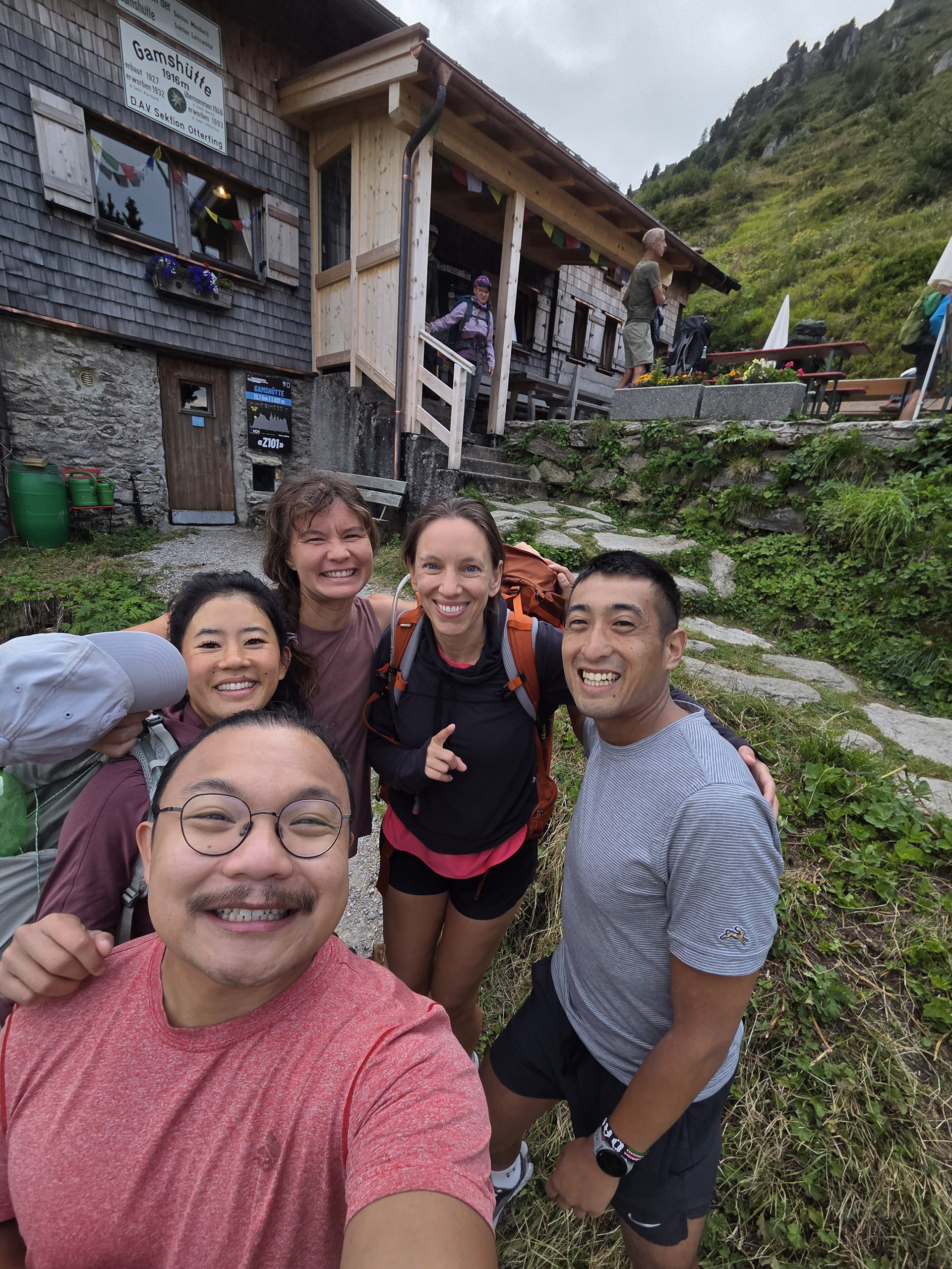
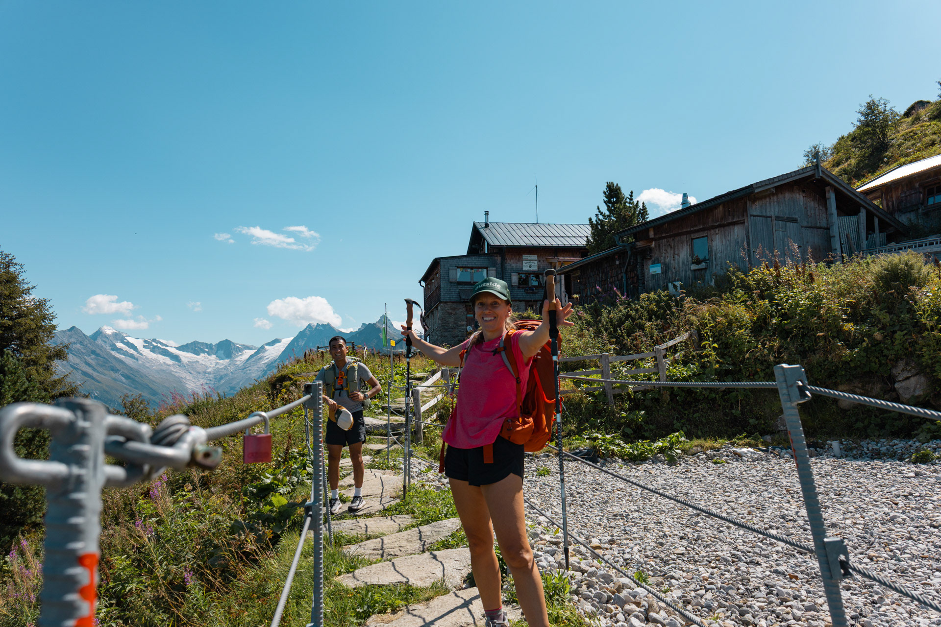
Before leaving, we decided we are going to take a picture in front of the sign at every hut!
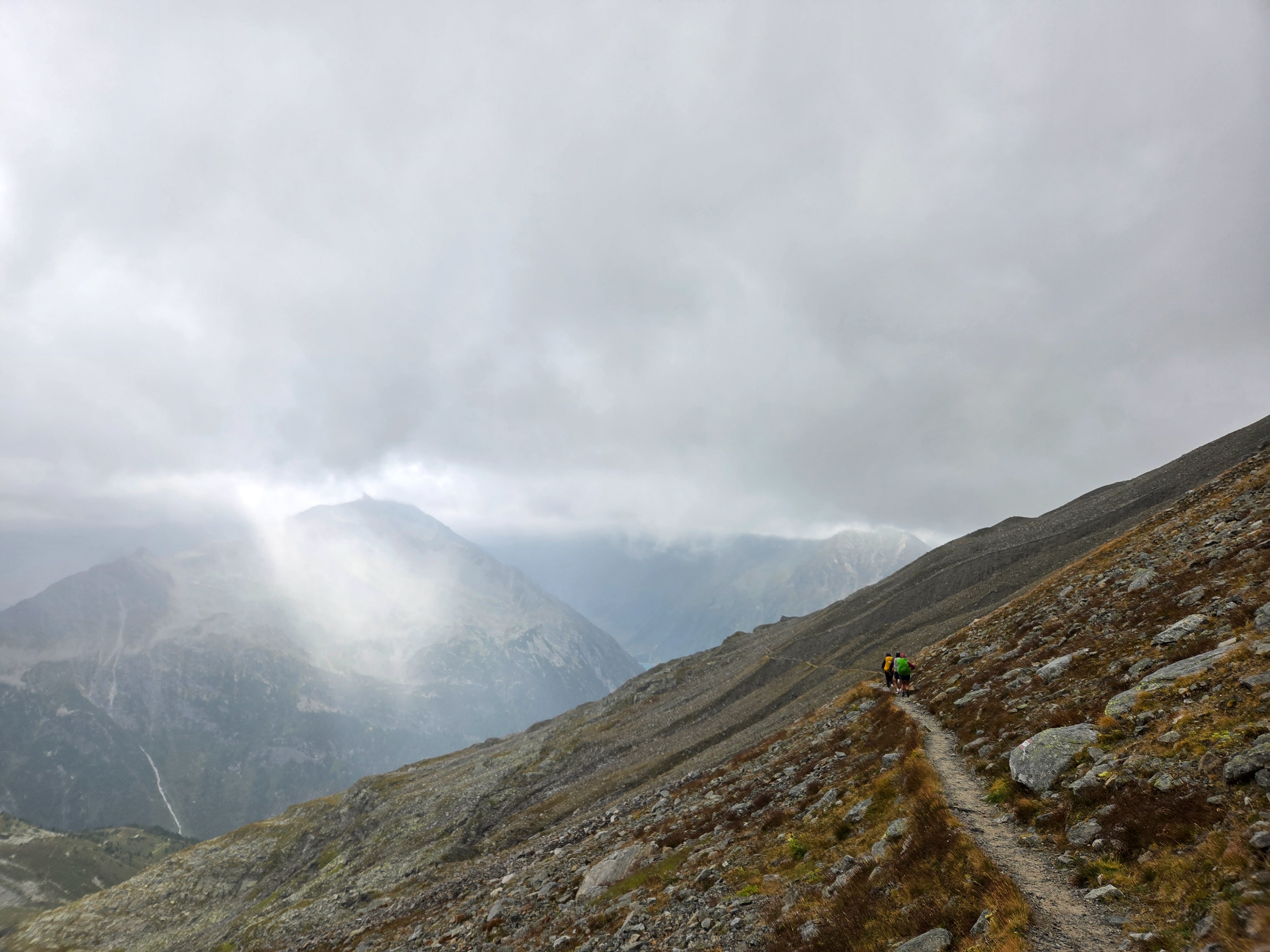
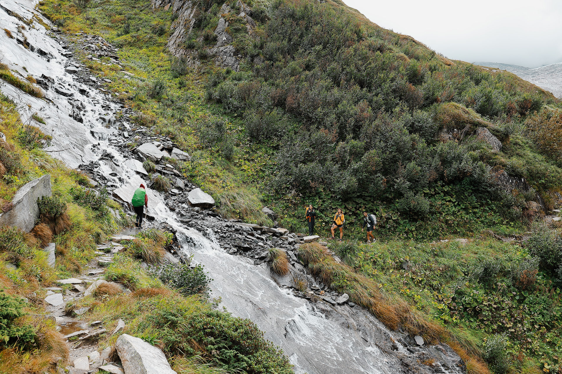
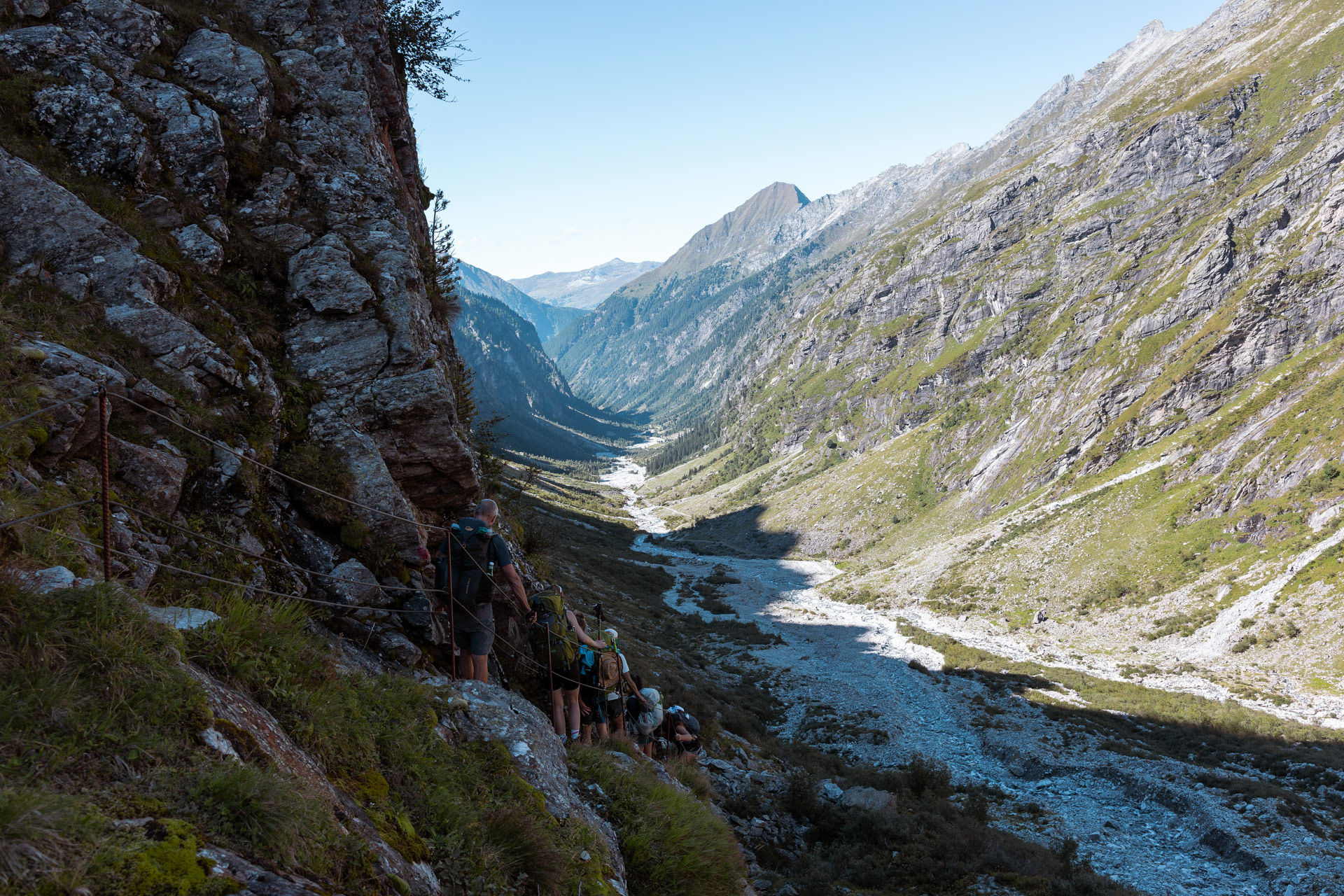
At 14 km, this stage is the longest and most challenging. The trail, which runs at an elevation of approximately 2000 m, faces southwest, which means maximum sunlight in midsummer. It's rarely used; ascent 1100 m, descent 700 m, walking time approximately 9 hours. -Wiki
The signs estimated that Stage 2 would take nine hours so we got up early to get started. We started at the same time as an older Dutch guy named Han, who stayed with us at Gamshütte. (You can see him in the back of of the pack in this photo.) Little did he know how much we will like him!
Hiking beside this breathtaking view, I can't believe we're just getting started.
Hiking behind Dan, I saw the light change behind him and asked if I could take a picture. One of my favorites.
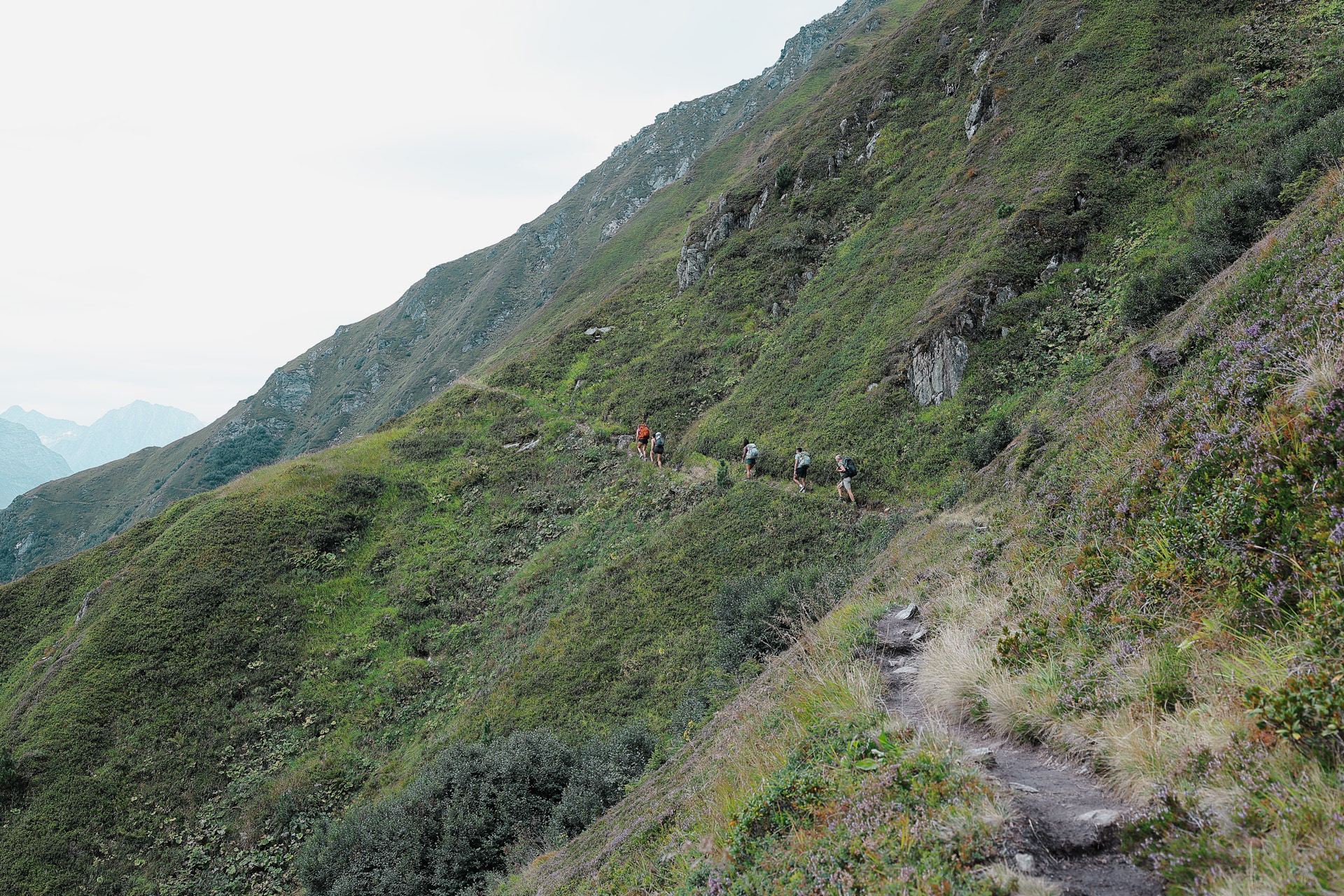
I had a heavier pack (almost double compared to most of my crew), so I was usually in the back and my views are of people in front of me.
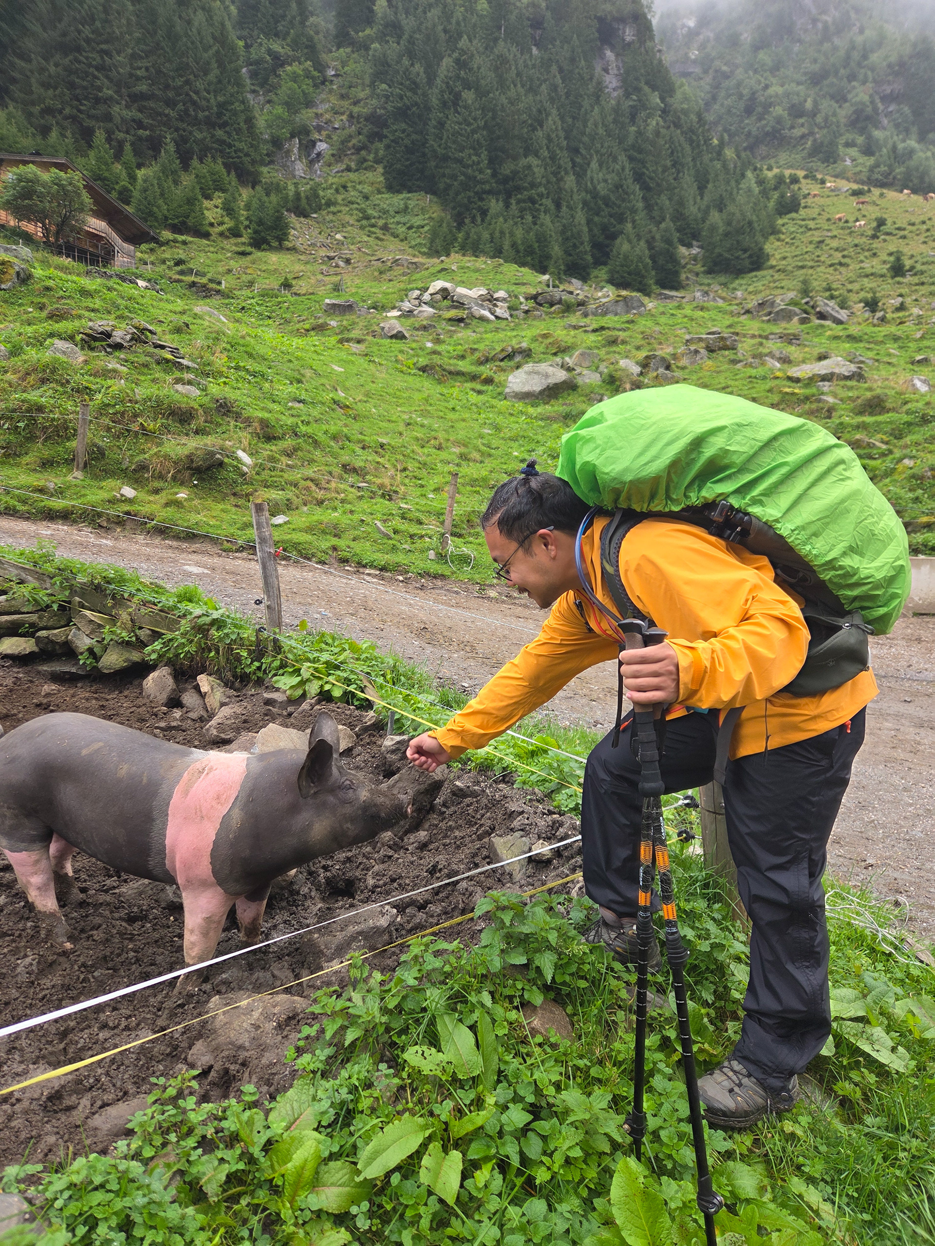
"Can I pet that dog?" Throughout the BHT we saw a lot of farm animals just grazing in the wild.
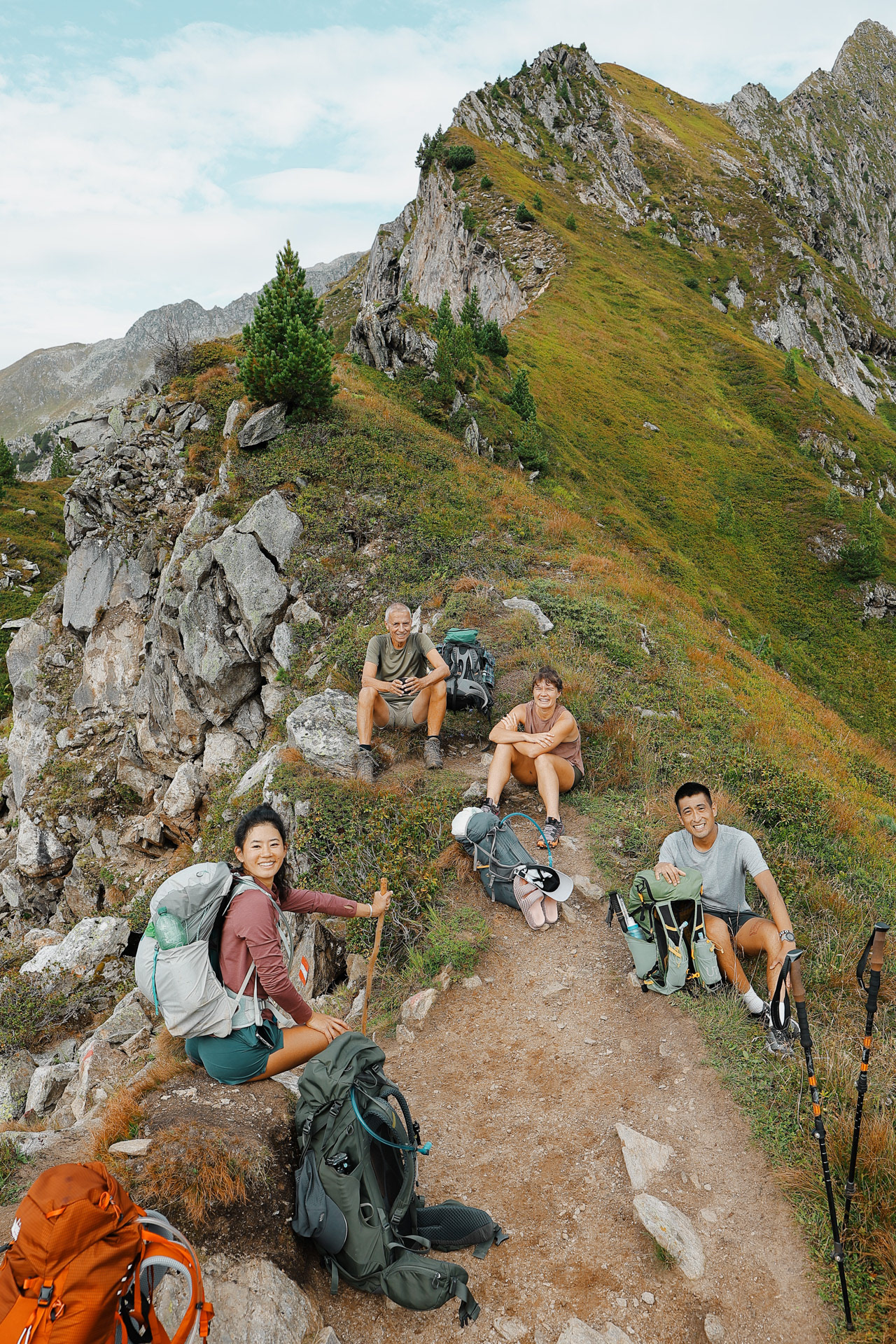
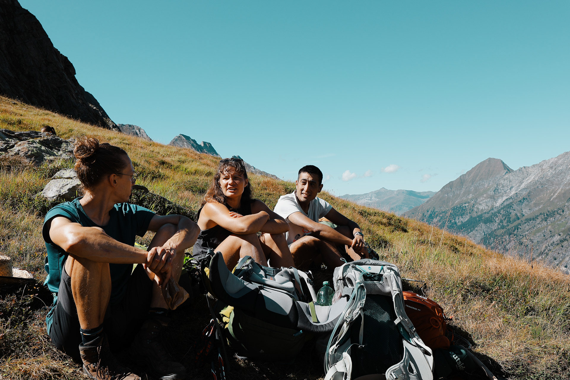
A quick rest stop on a ridge after a relatively intense ascent. We learn that Han has a lot of mountaineering experience and has done backpacking trips all over the world.
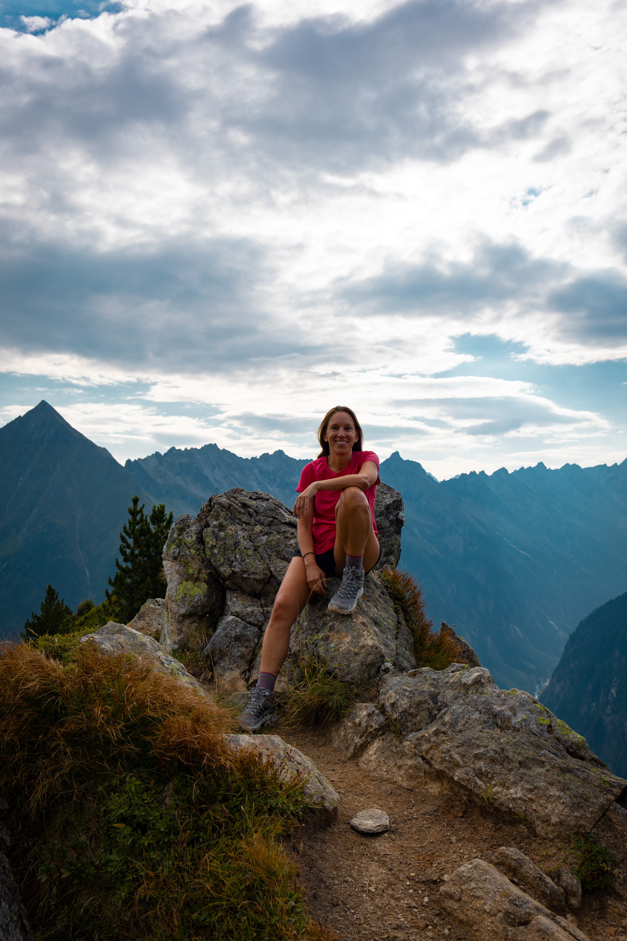
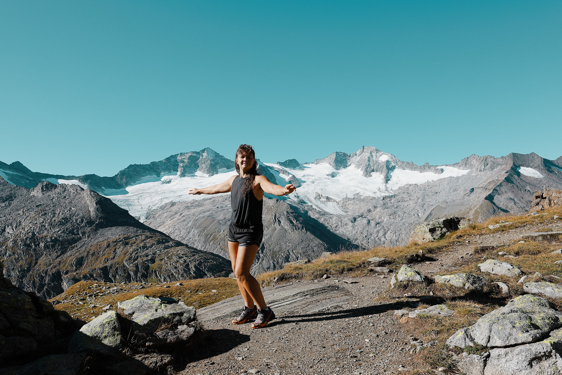
Eva flanked by mountain ranges.
Saw this shot with the background and asked Han if I could take it and send it to him later. Neither of us realized how many more pictures we'd take of each other on this trip.
A wild Morgan has appeared.
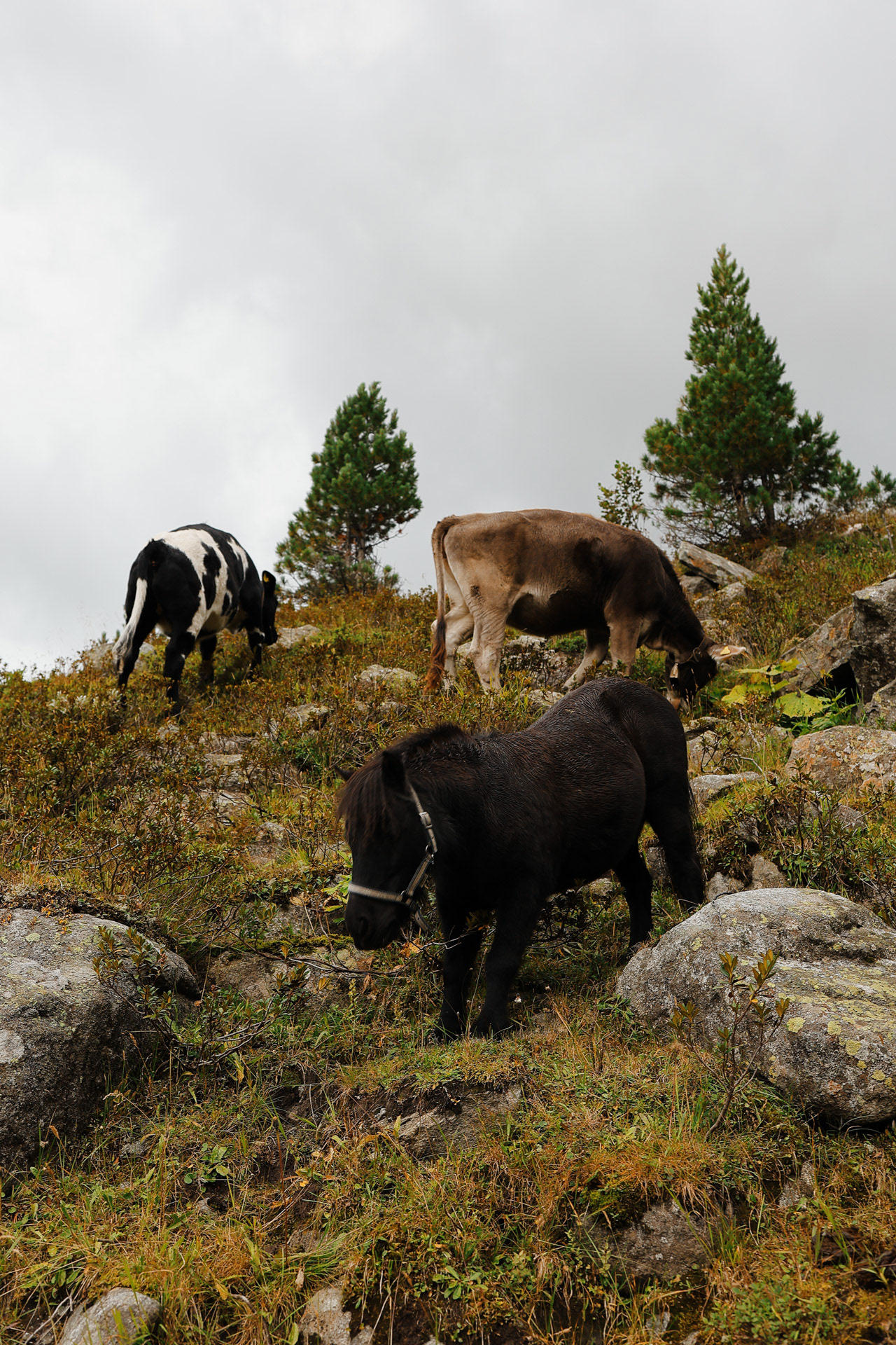
Throughout this trail we passed through and along a bunch of farms. Who knew so many people and their livestock were living in the mountains in the middle of nowhere? Throughout the trip, we had to walk through fencing farmers had erected for their animals.
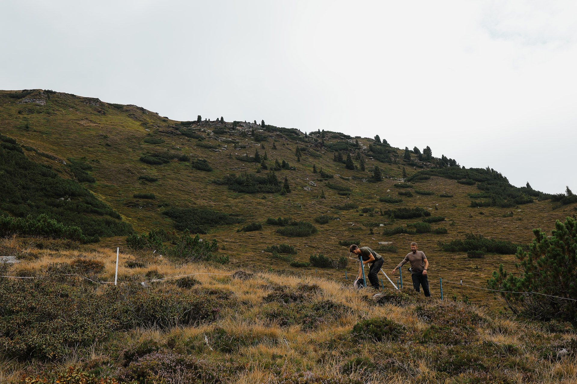
Farmers repairing their fence.
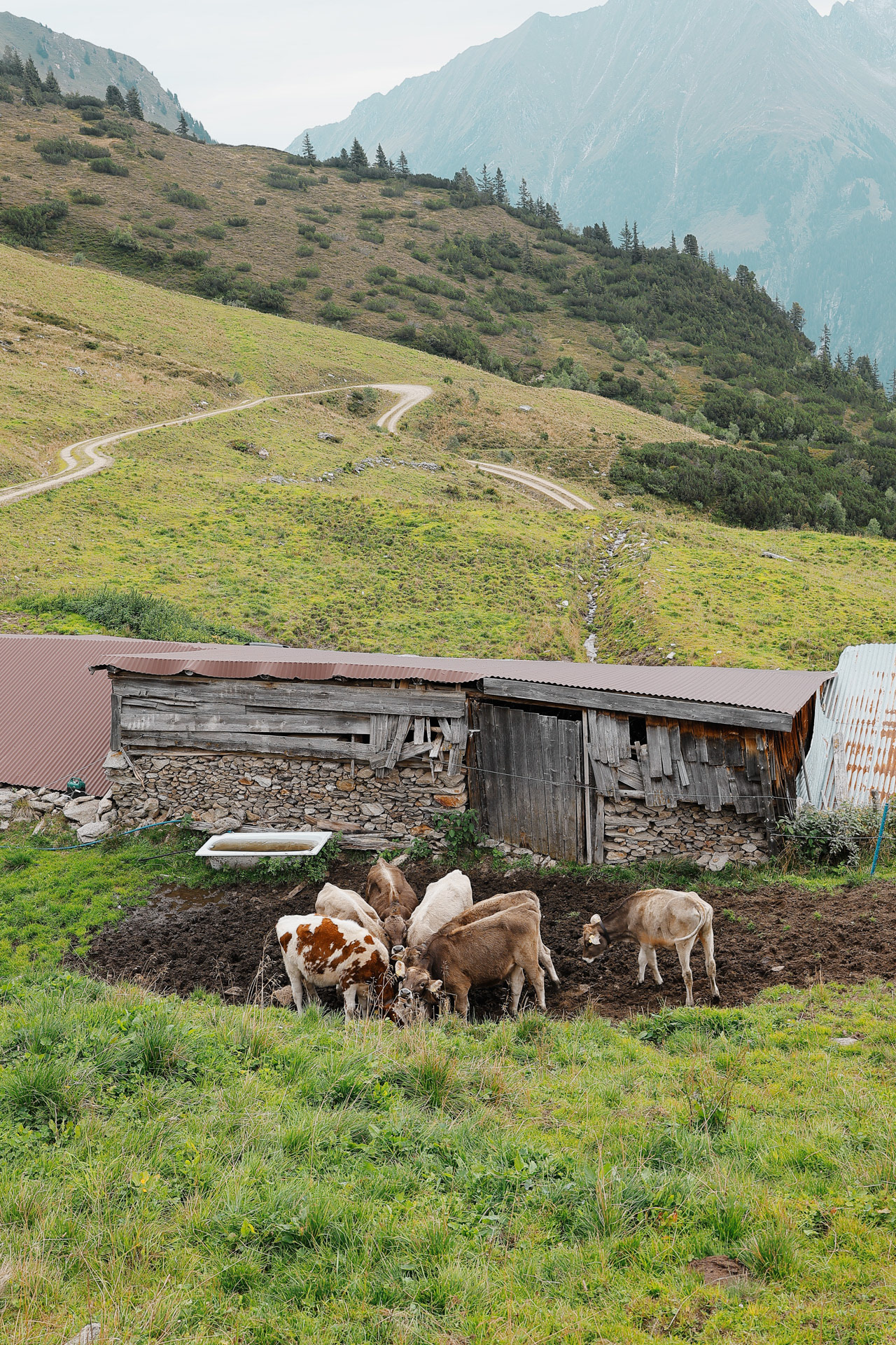
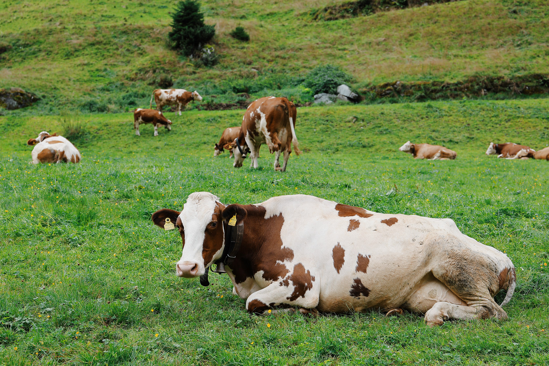
COWS! at the farm.
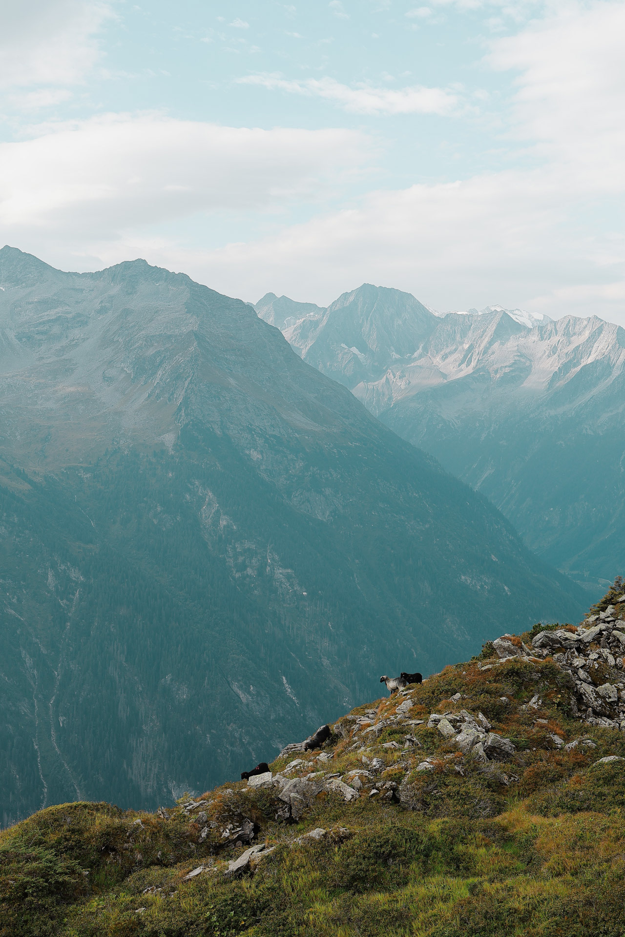
GOATS! in the wild (but not actually wild).
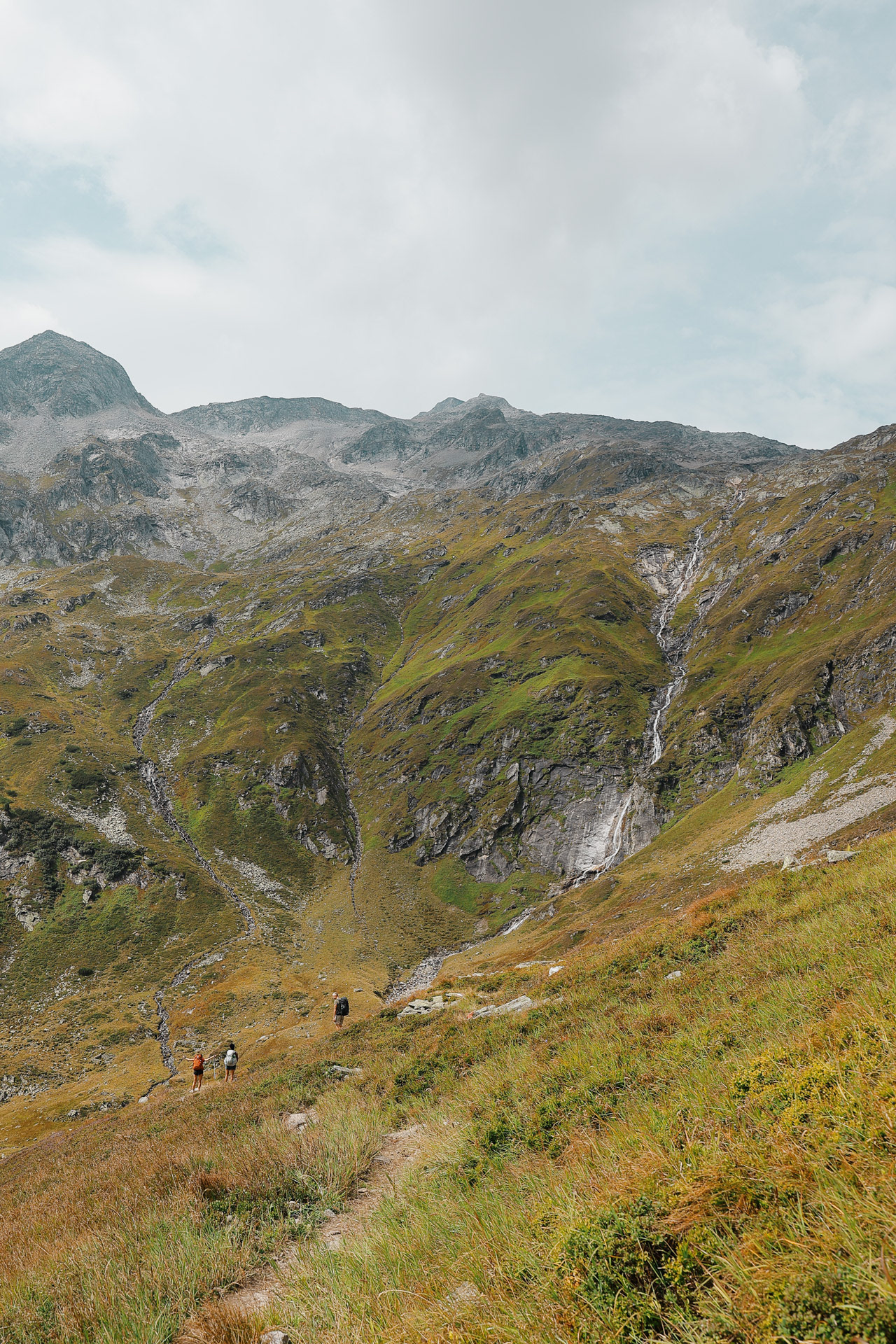
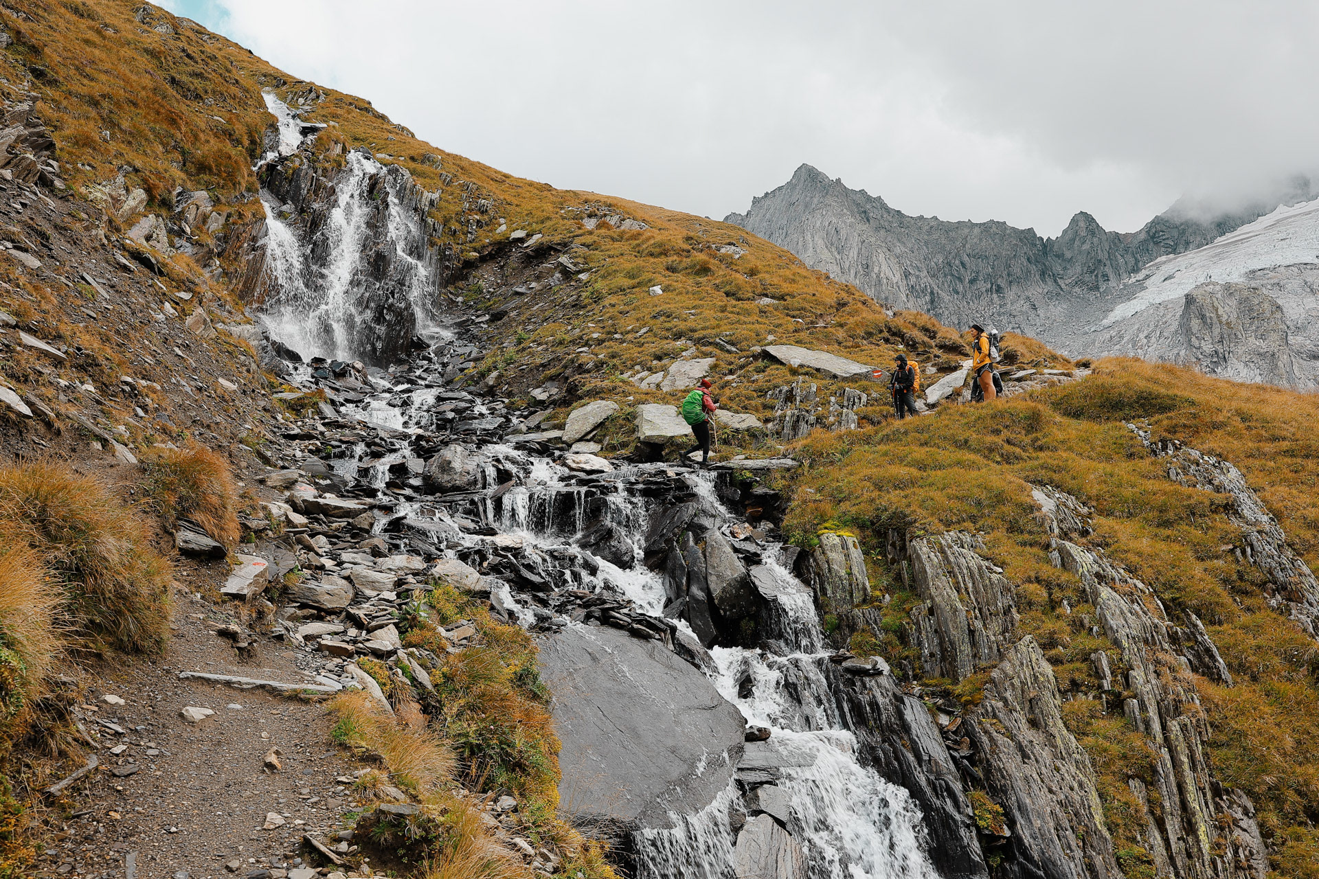
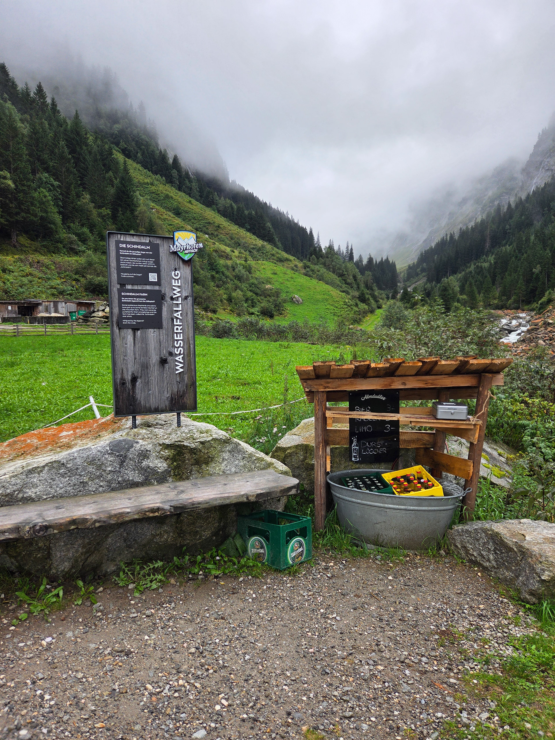
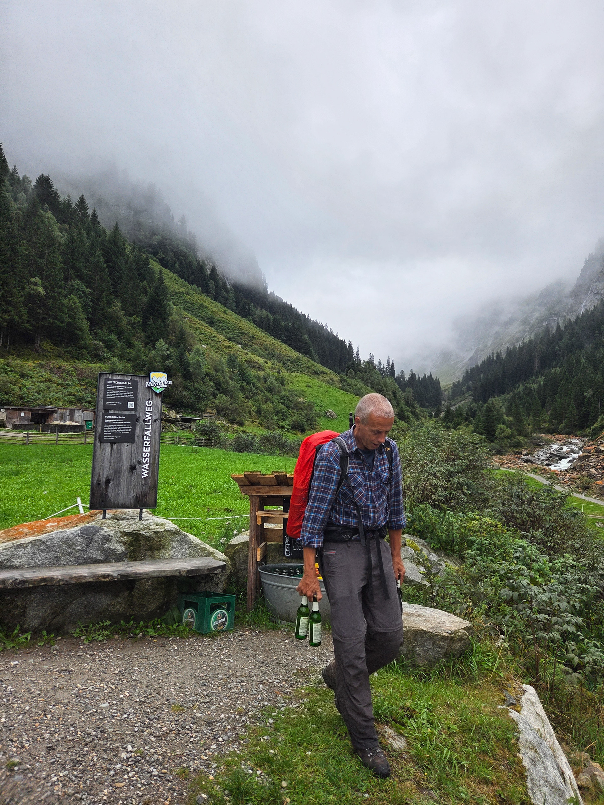
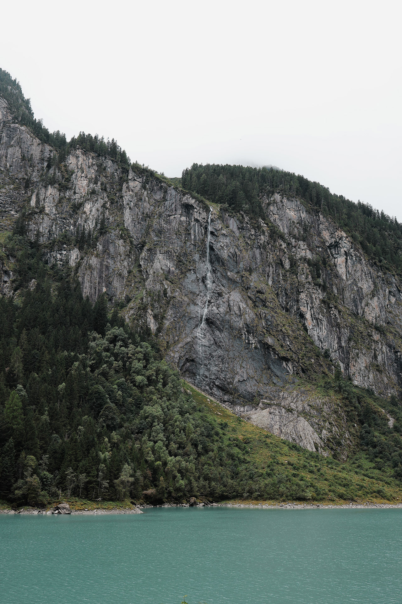
Saw some waterfalls in the distance and we...
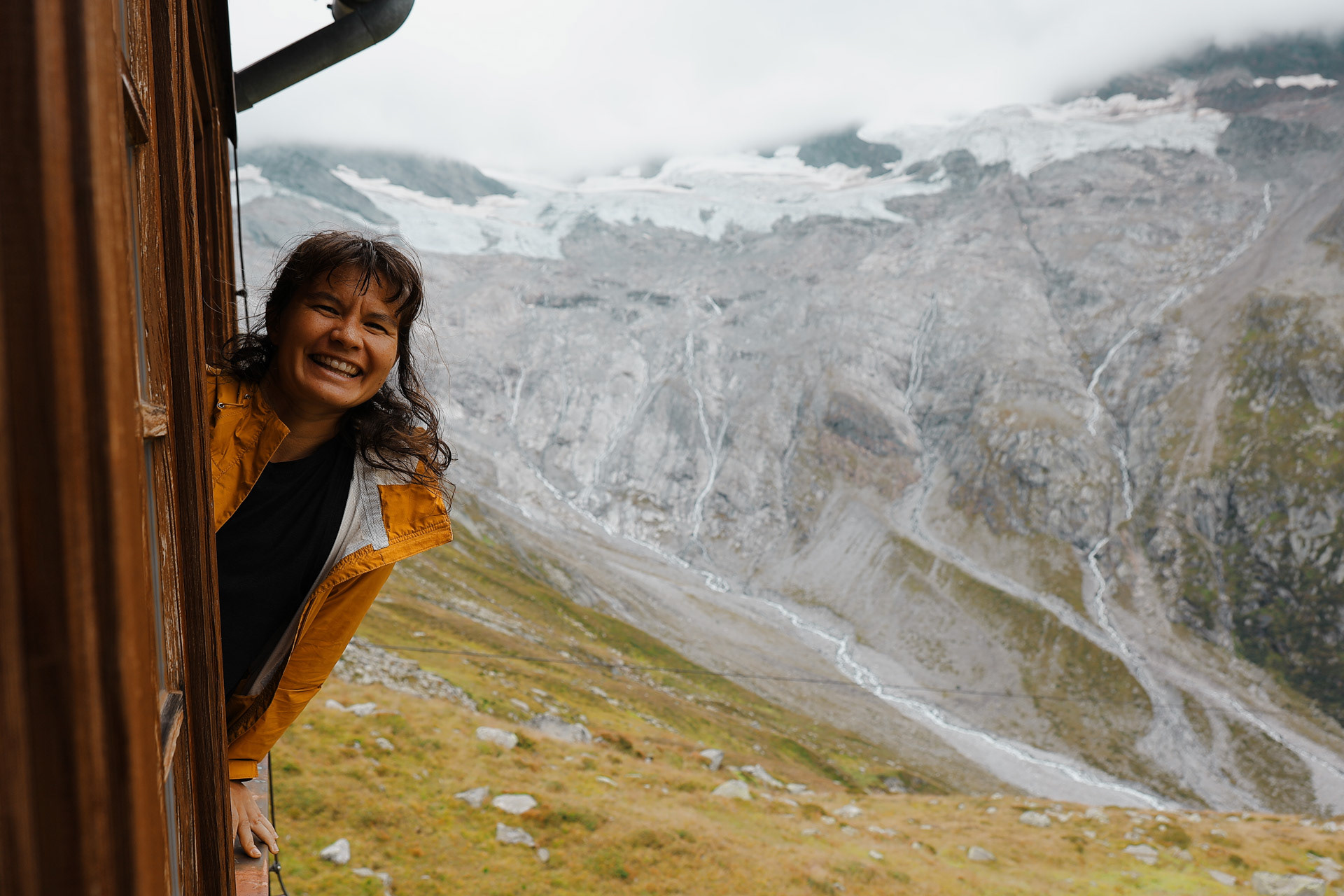
...decided to stop! There were around 8 waterfalls that fed into this stream. I decided to take my first alpine dip! The water was cooold.
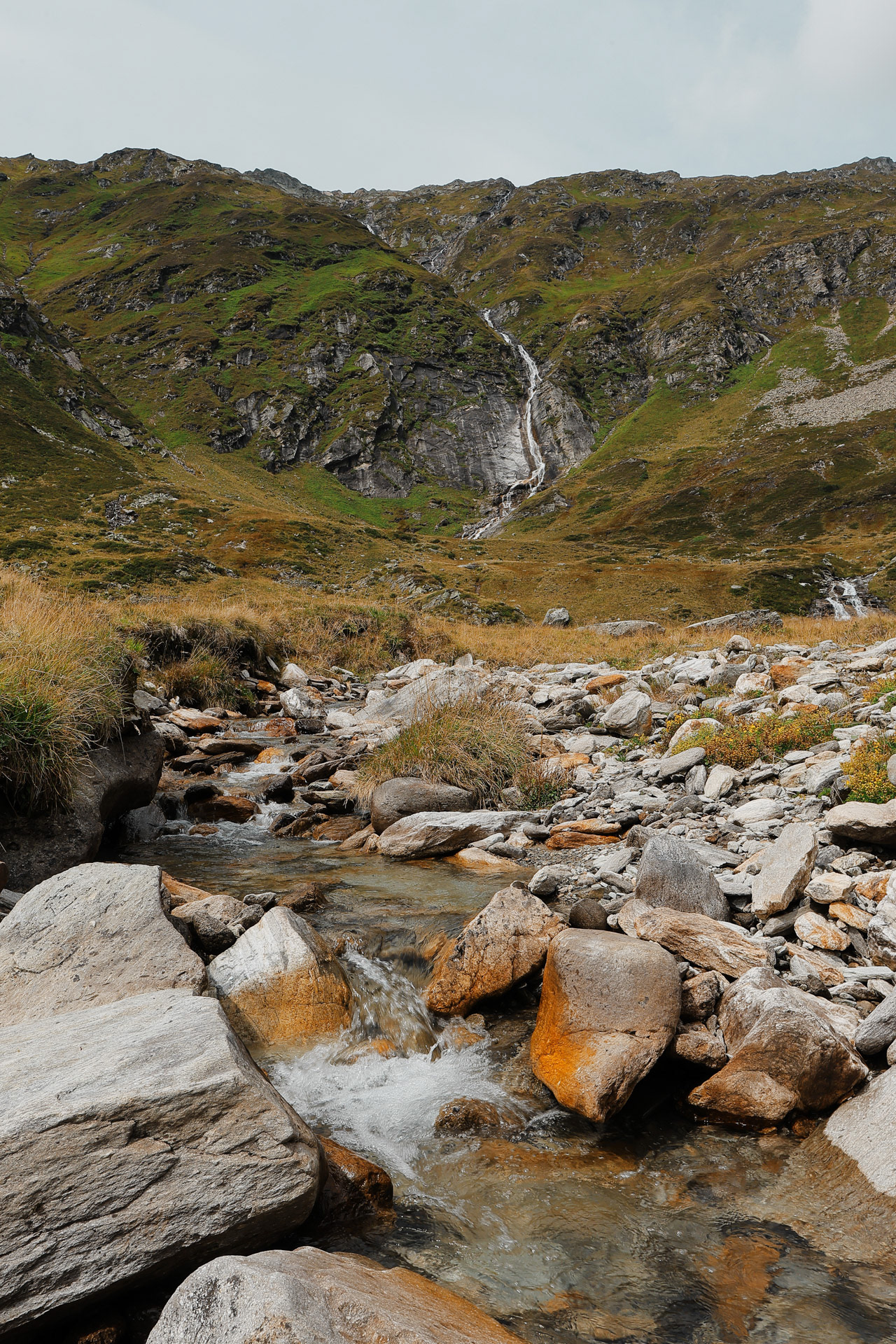
Wasserfall is waterfall in German. Did I mention everyone speaks Deutsch in Austria? Why'd I think everyone spoke Austrian...
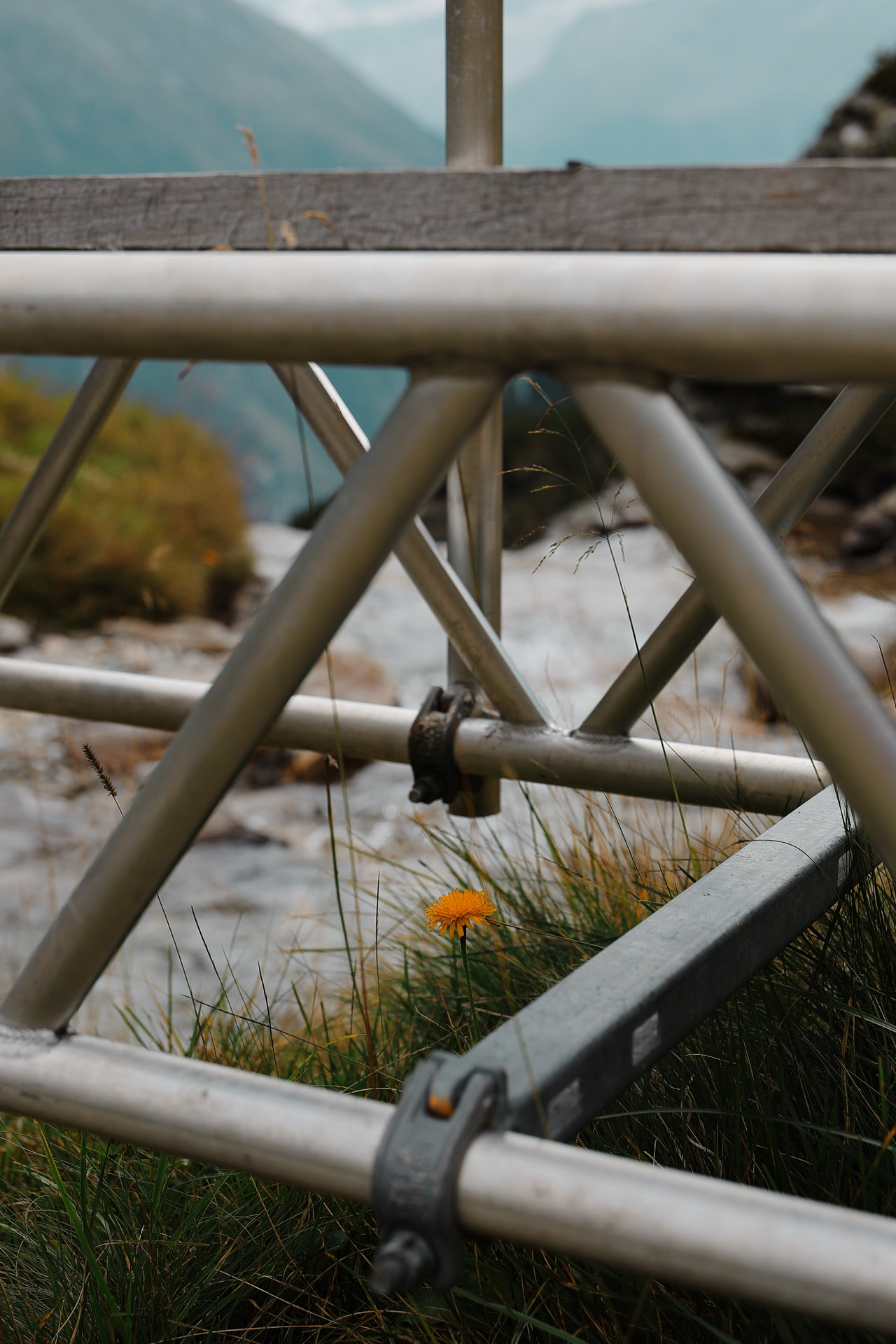
A flower under a bridge.
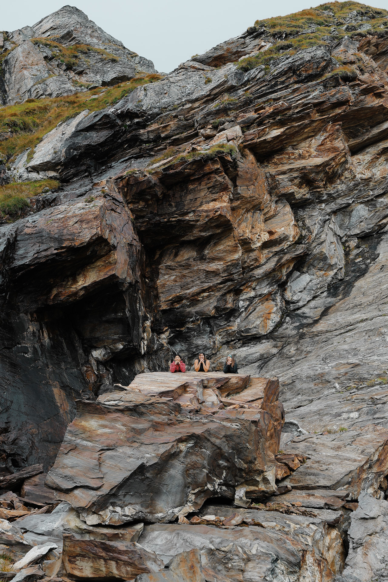
Einny found this elevated rock so of course I had to take some pictures. We'll pretend that it was wide and stable.
Time to get off that rock!
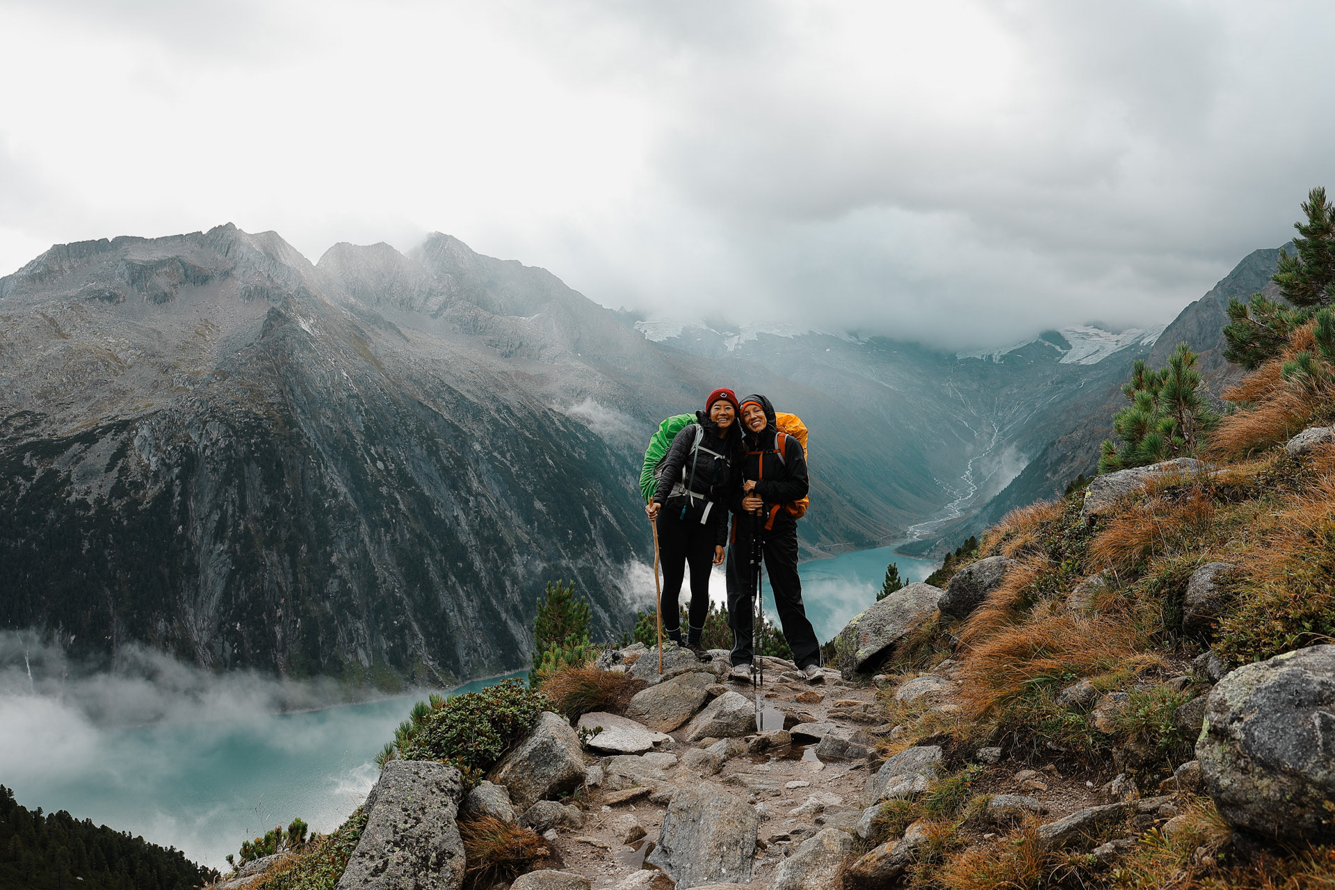
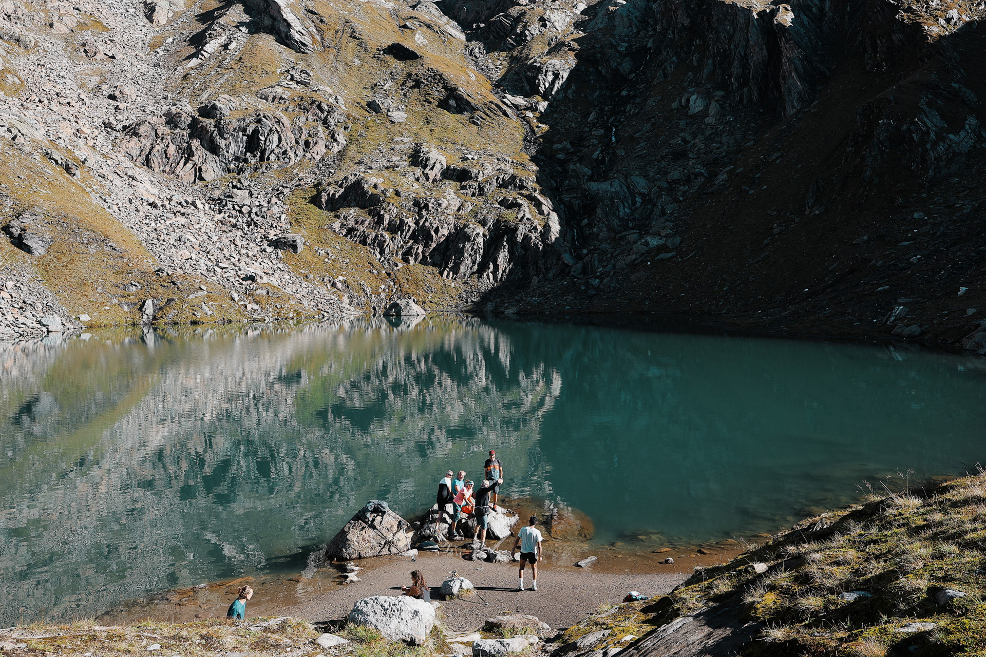
Found our first lake but no swimming for me yet. Dan and Morgan arrived first though and Dan took a swim! We all took another quick break.
The gang on a break. PC: Han
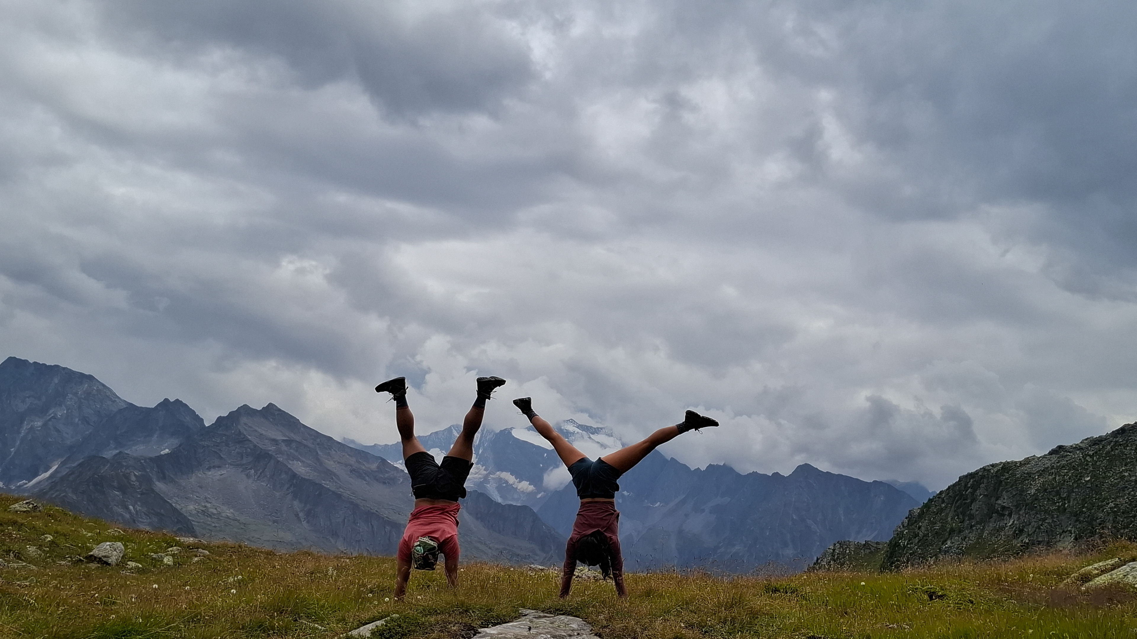
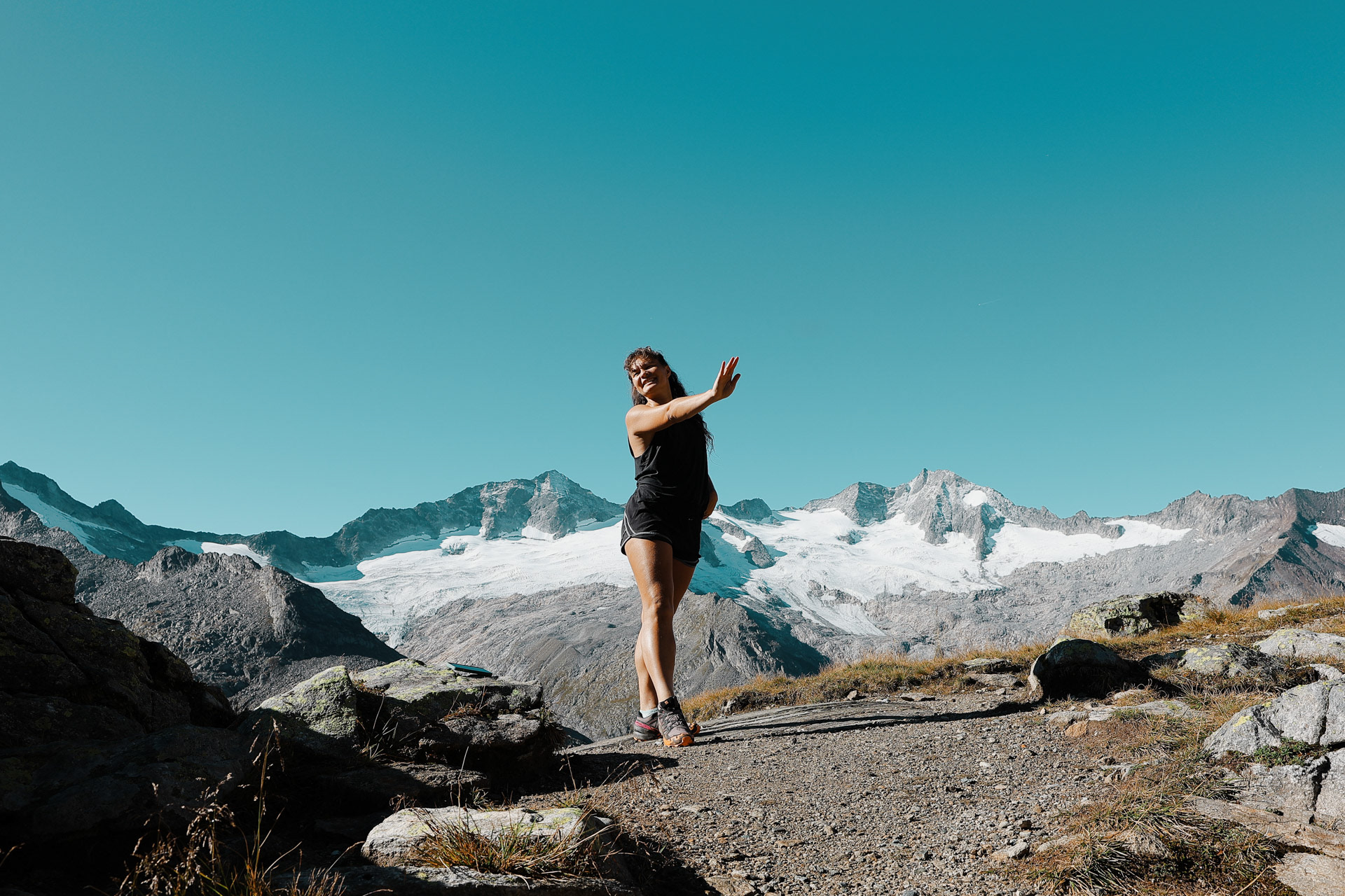
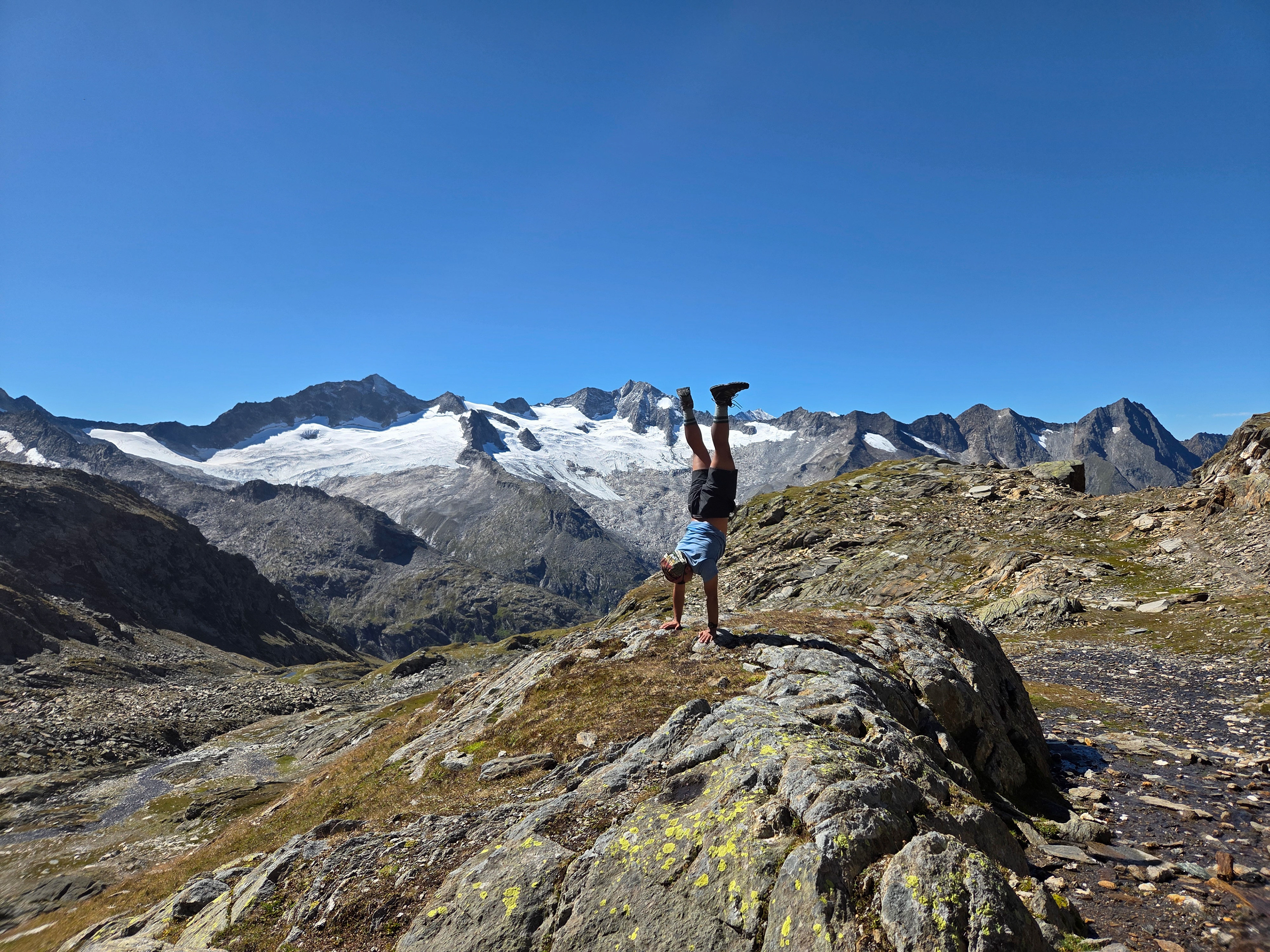
Einny and I doing handstands as usual! PC: Han
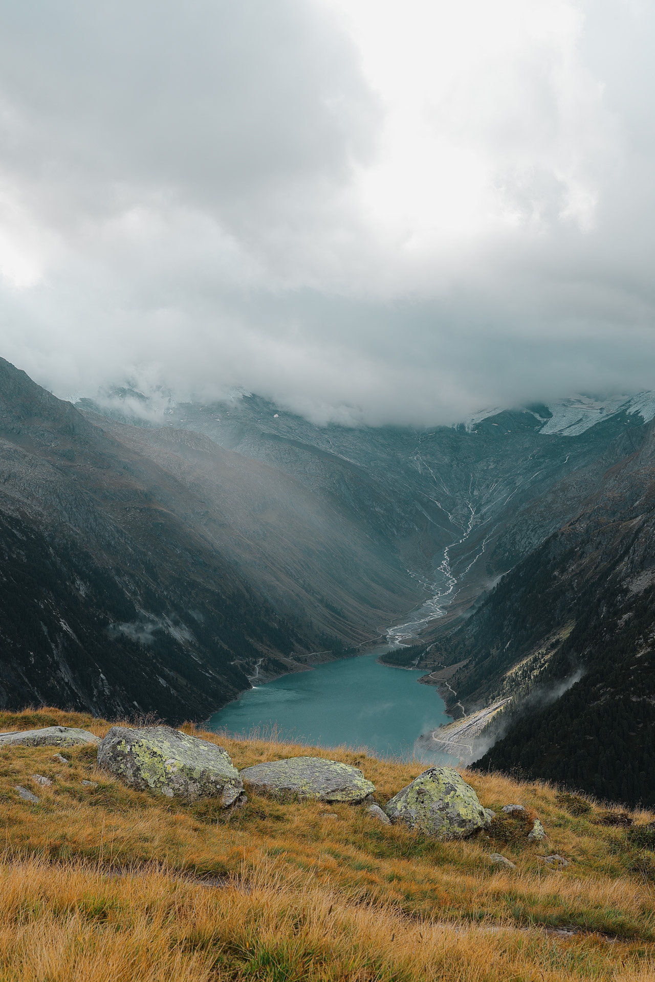
We finally get a glimpse of the iconic Schlegeisspeicher which is a reservoir lake for a hydroelectric dam. Though Dan and I were super duper excited to go swim in it, Han informed us that this was forbidden because of the dam.
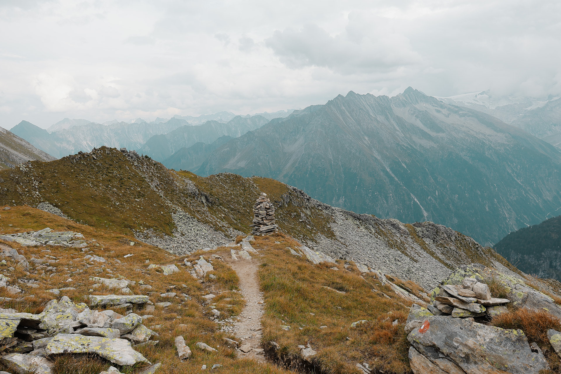
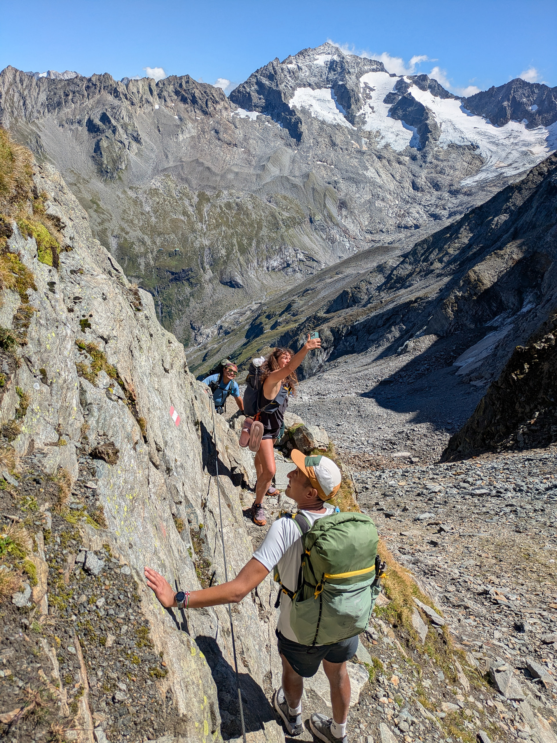
Throughout the trek, there are 2 other kinds of trail markers besides the yellow signs: 1) stone cairns that could be .5 to 4 meters tall 2) red and/or white spray painted markers, oftentimes in the shape of the Austrian flag.
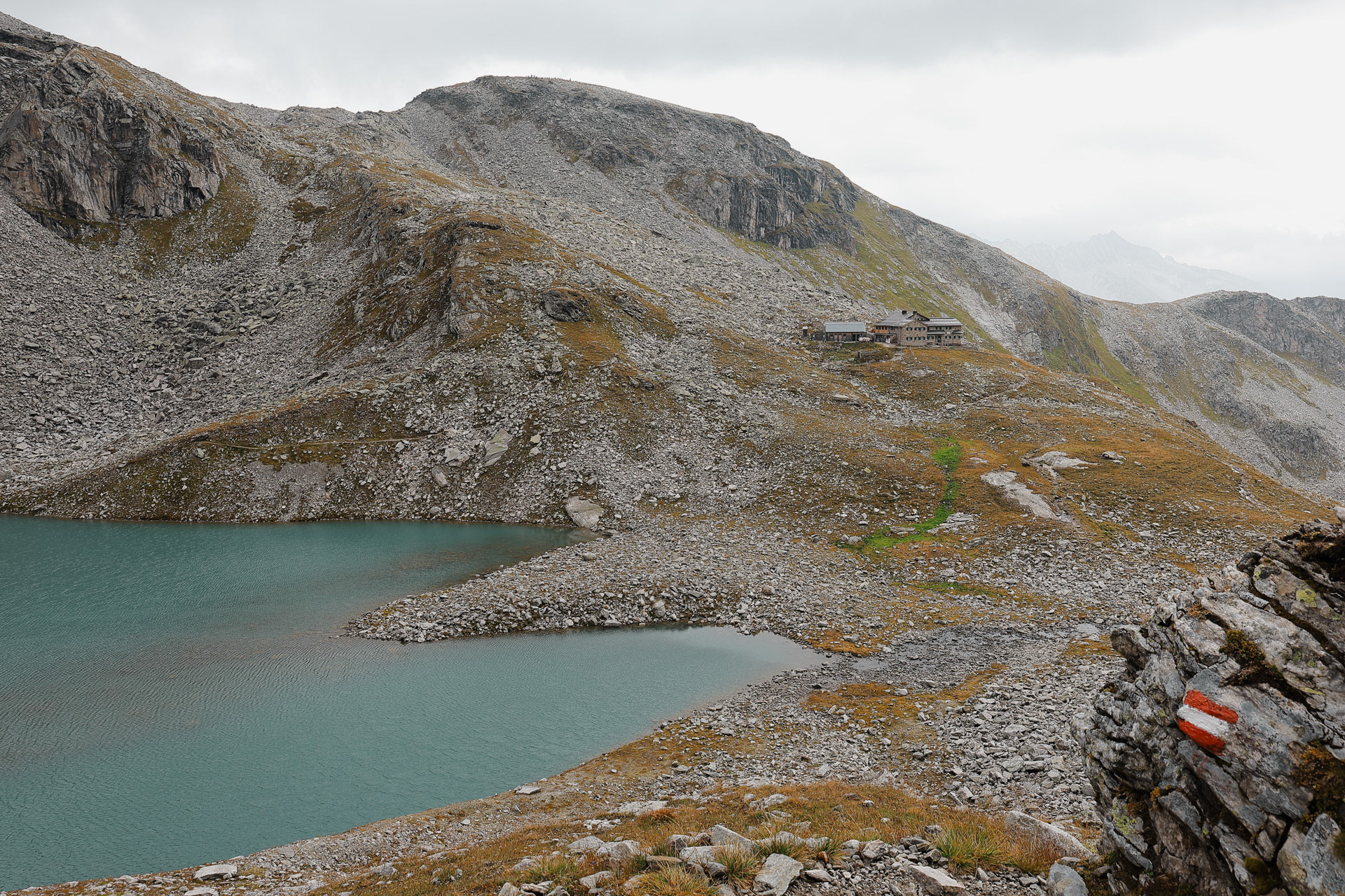
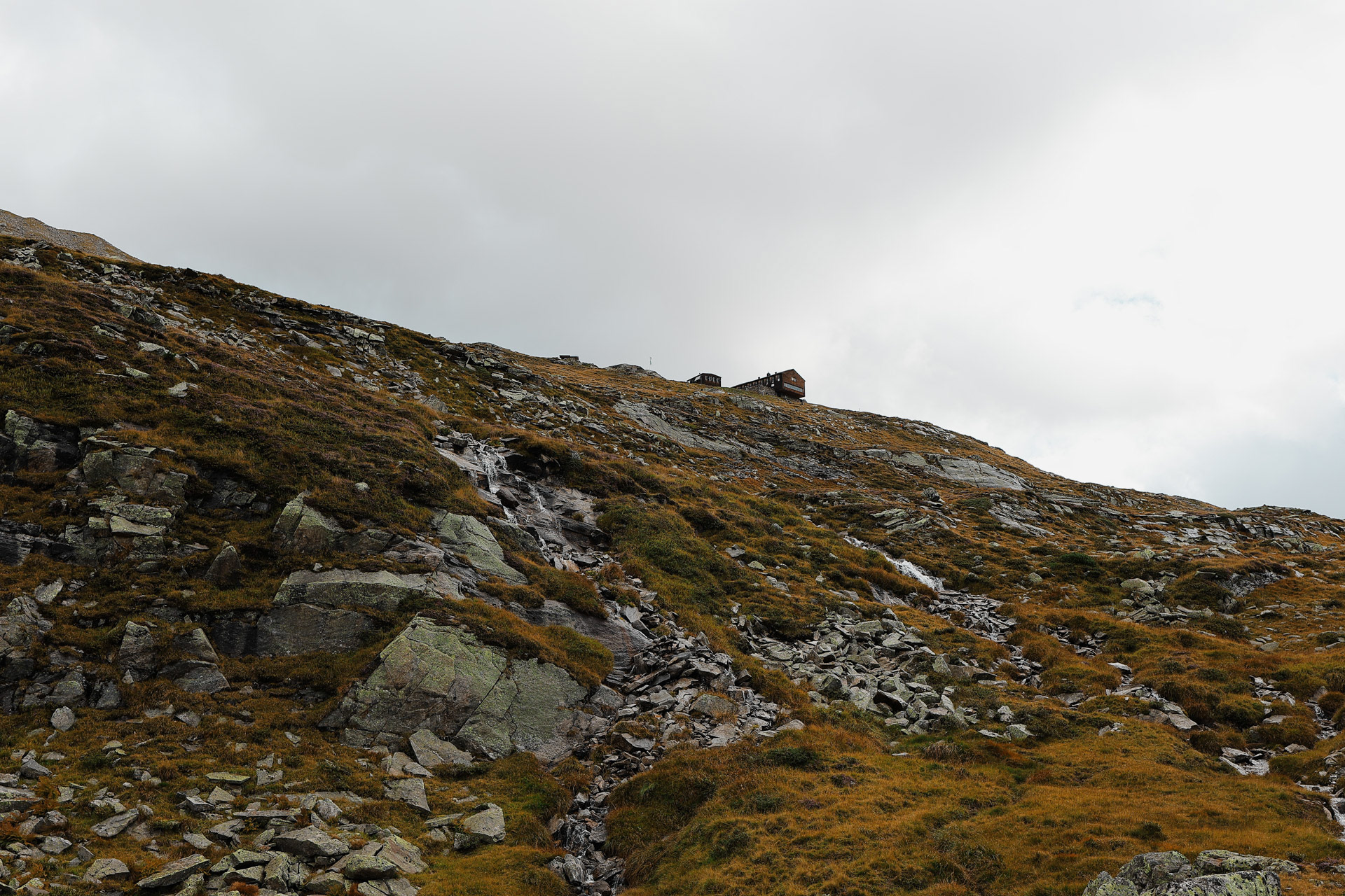
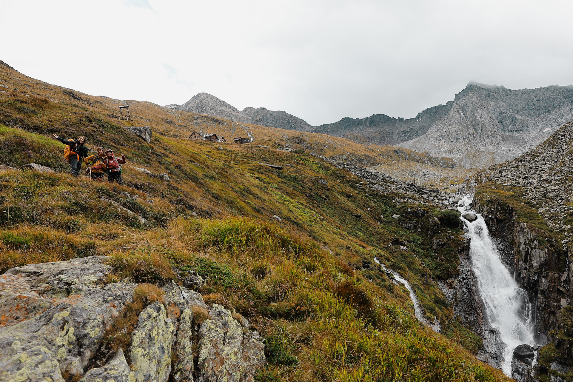
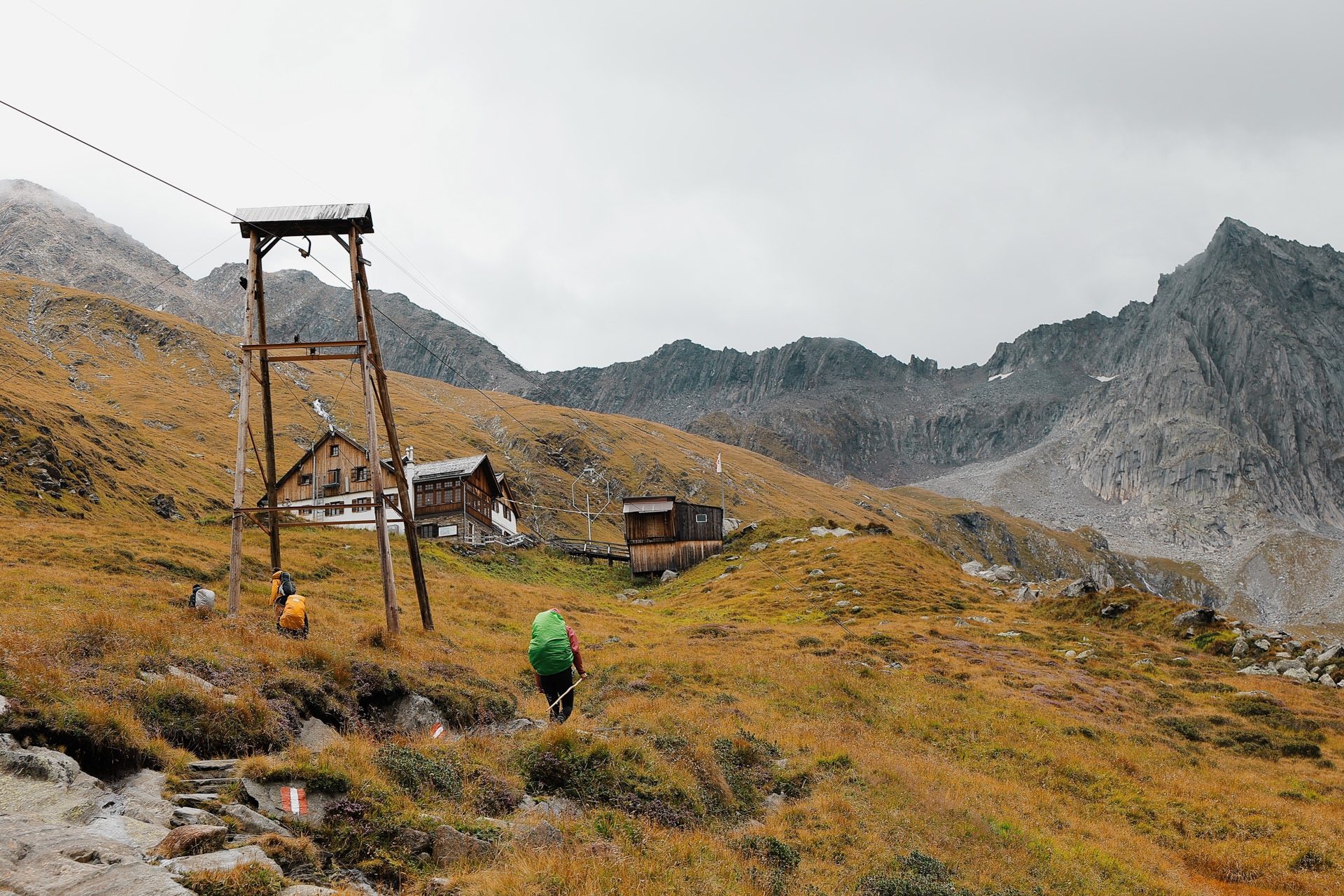
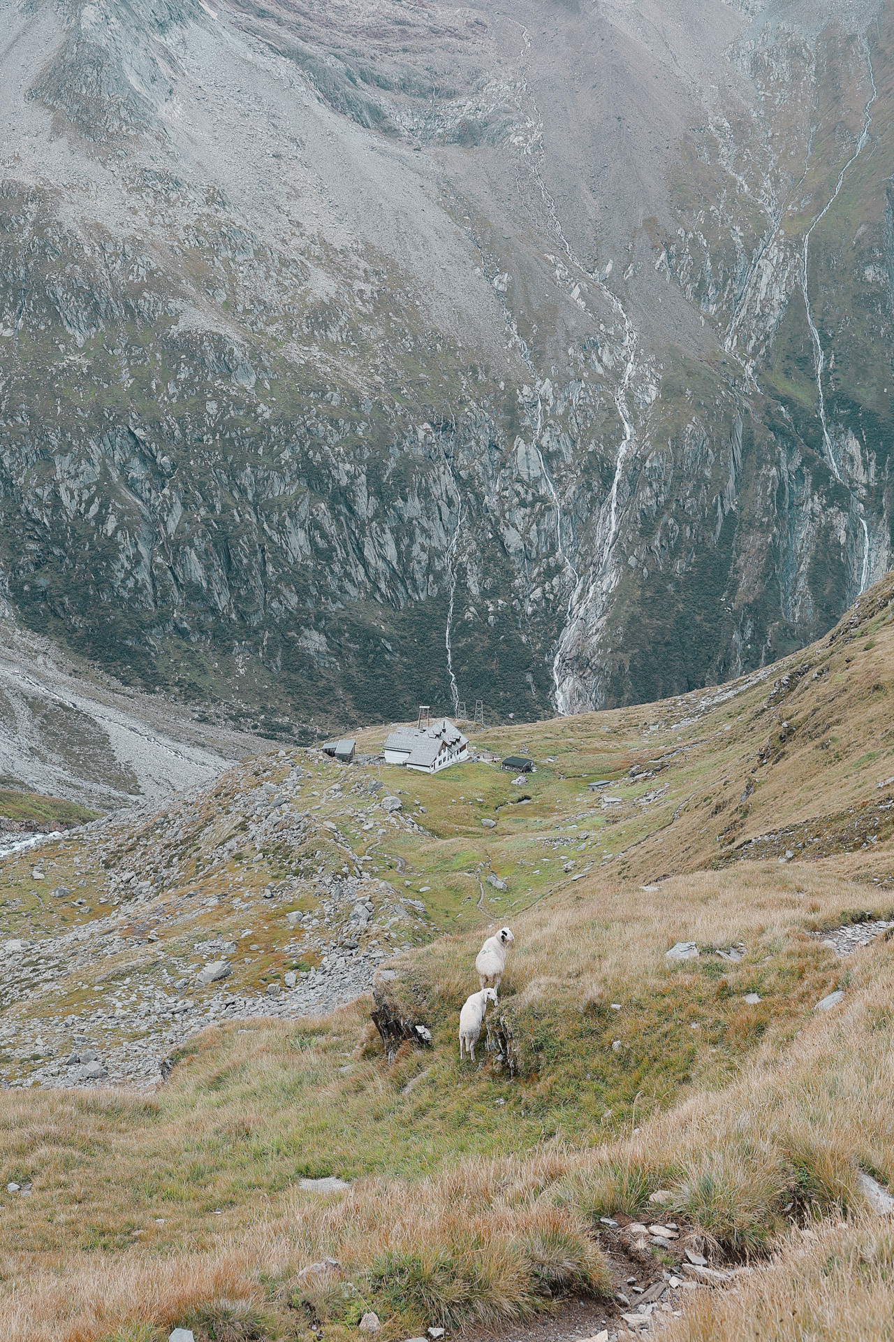
Finally, after a long day of hiking we see Friesenberghaus. You can see the path leading up to it.
Friesenberghaus has some outdoor seating. When we arrived, it was still sunny and people were hanging outside. By the time, we wanted to hang out on the deck, it had started drizzling and the tables emptied.
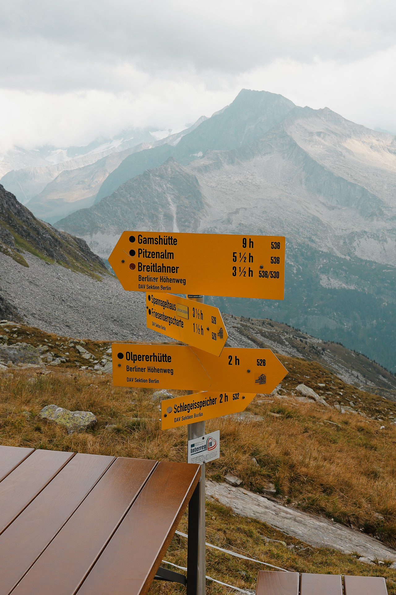
Trail signs at Friesenberghaus. The numbers on the right side of the sign denote the trail number on maps.
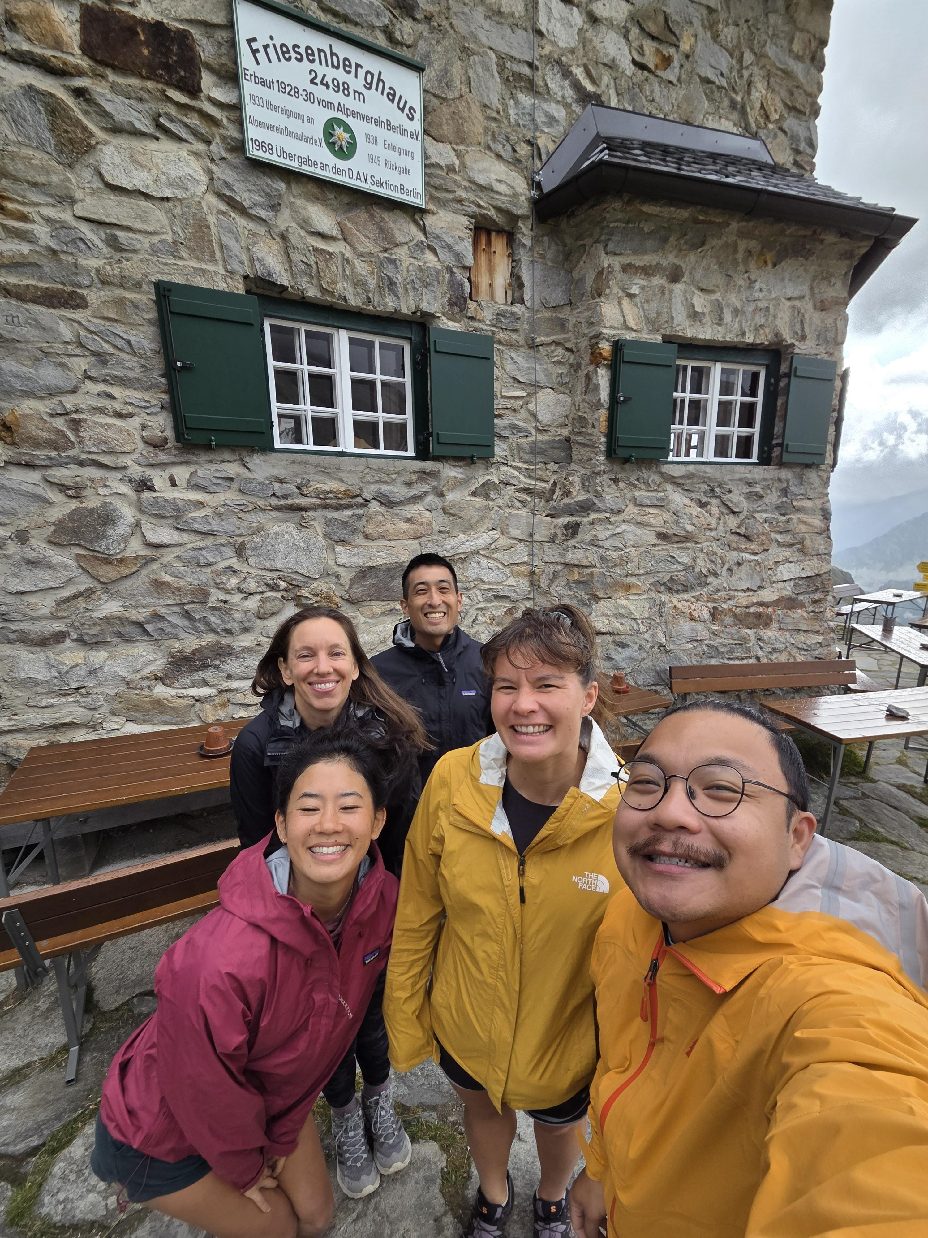
Our pic at the Friesenberghaus sign! We actually took this when we were leaving but let’s just pretend we remembered to take it on arrival! Anyways, at check in, the attendant asks if we were the Americans and says that Fritz called in and left a message for us to let us know that unfortunately he was not gonna be able to make it. . We were sad!
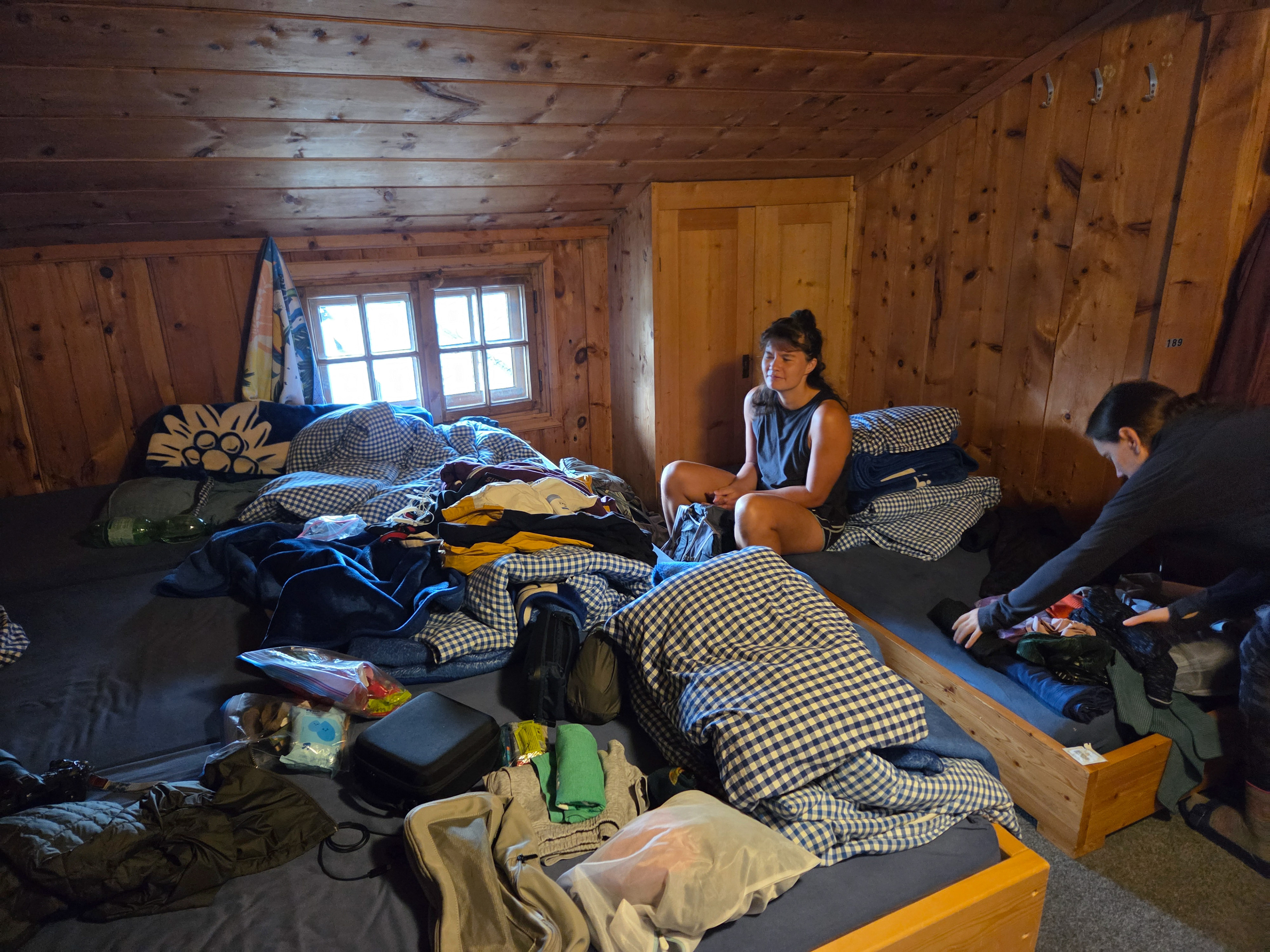
A picture of what a room looks like after we move in. Each hut offers a pillow, 1-3 blankets, and a bed. People are required to bring sleeping bag liners for hygienic purposes. If you don’t use the bedding set directly, they don't have to wash it as often. This is one of the lucky times where we got to stay in mostly one room!
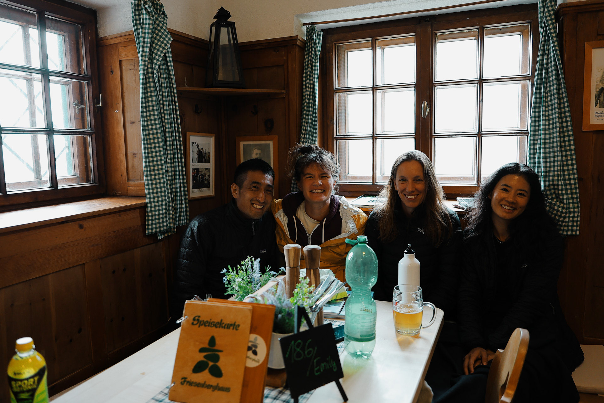
Dinner at dining room No. 2. At this hut you get assigned tables and you only get to sit in the main dining room if you arrive early. Who is Emily?

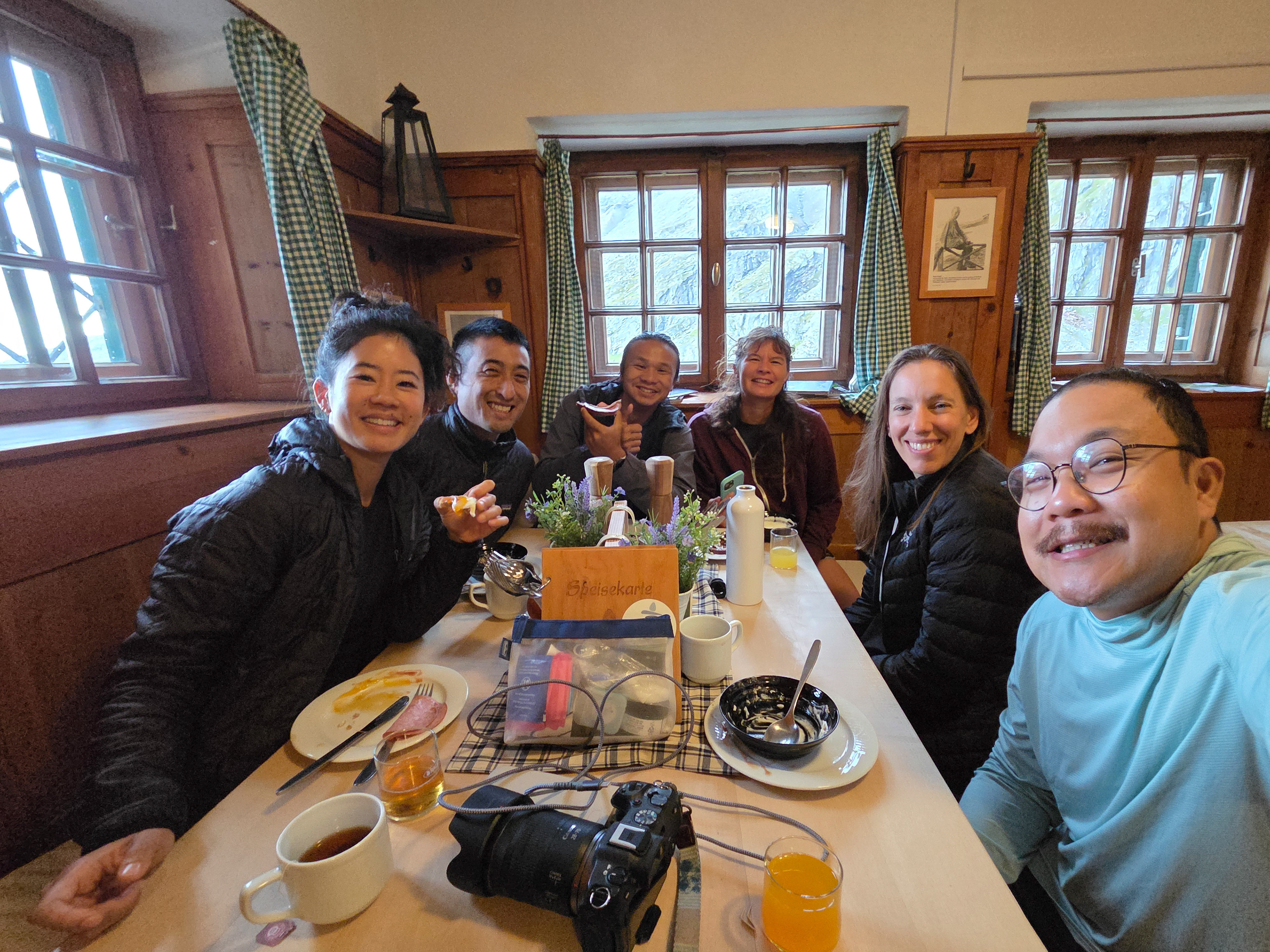
Breakfast with the only other Asian person we met on the BHT (dayhikers not counting). Trong is a Vietnamese professional poker player. Interestingly enough, he was not doing the BHT but was doing his own trail to or from Italy and we intersected at Friesenberghaus.
Young adults make up the majority of hut staffers who may work for for weeks to months at a time. This one said I could take her picture with the sign. We also learn that this hut is solely supplied by helicopter.
A view from our bedroom. It looked like it was going to rain, but it's okay since we should only have a short hike! Our dear Dutch friend Han tells us that we probably won't see him again as he is skipping the next hut (Olpererhütte) going straight to the next one (Furtschaglhaus). As mentioned earlier, we would have wanted to do it this way as well but could not get reservations at the next hut for that day. We are all sad. Han tells us "I love you all" before he leaves. So I guess this is where we part ways... unless...?
Shortest stage, ascent 150 m, descent 250 m, walking time approx. 2 hours -Wiki
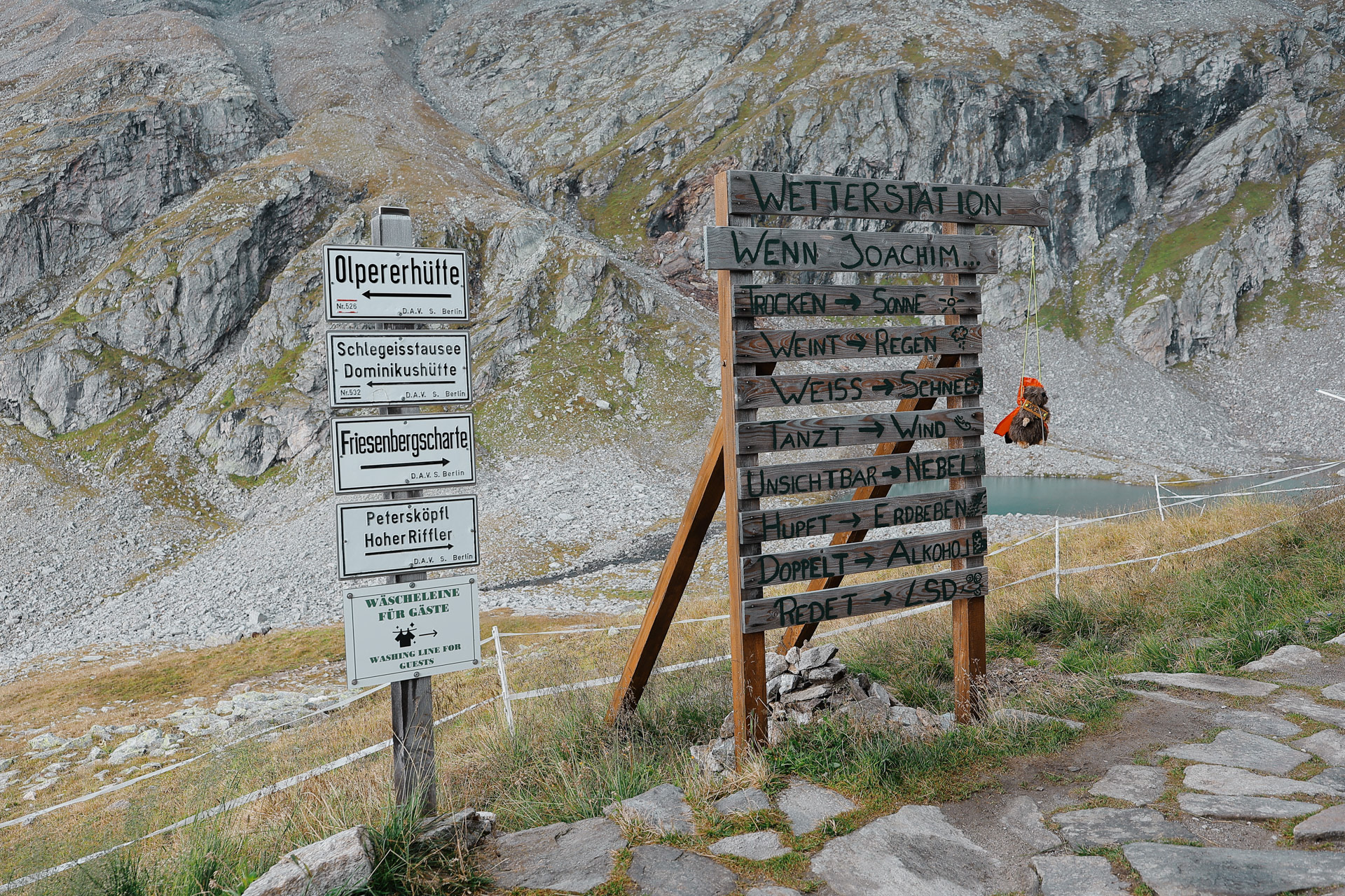
More signs outside, can someone please translate? Is that LSD?
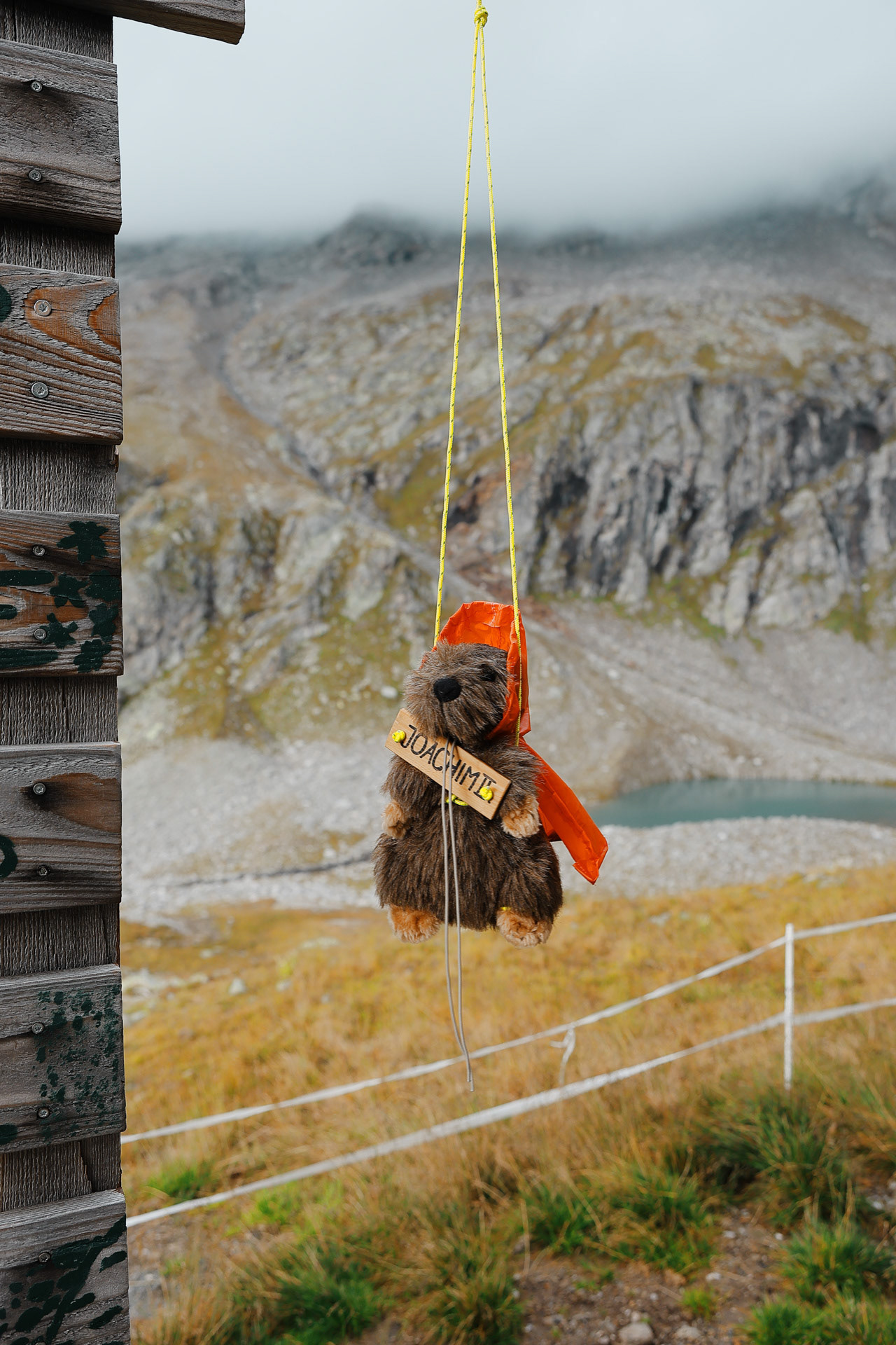
The one and the only Joachim the 2nd. There may be many Joachims but only one 2nd!
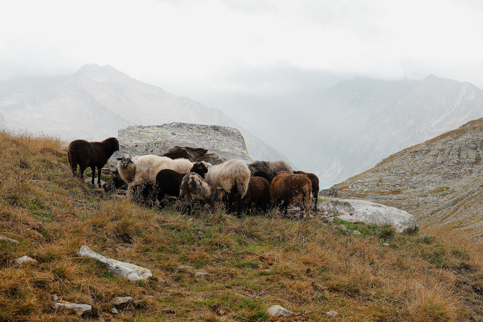
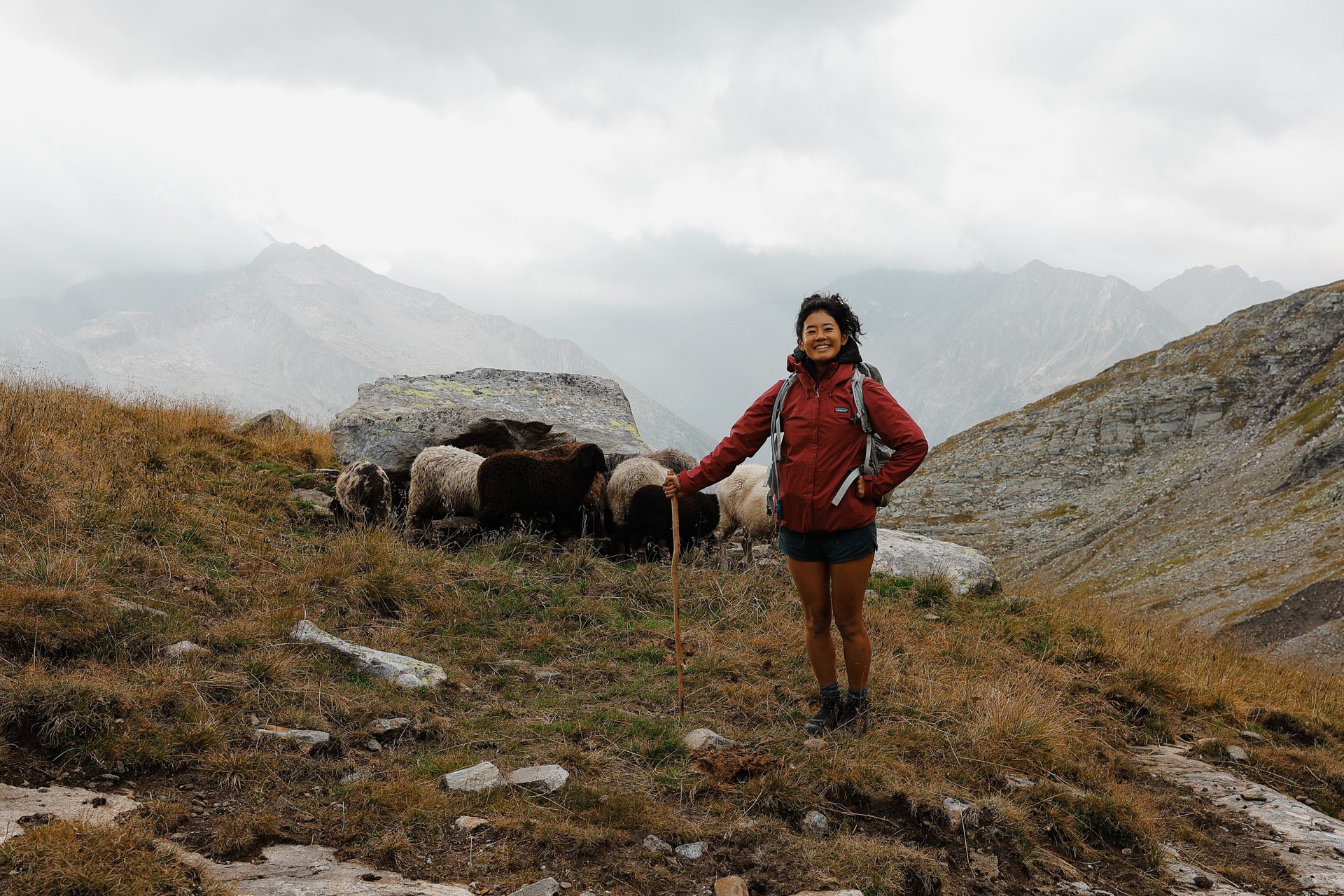
Sheep! Liked this one because of the one sheep looking at me while the rest are preoccupied.
On day 1, on the way to Gamshütte, Einny found a hiking stick!
Morgan amongst the rocks.
On the left is Friesenbergsee ("see" is lake in Deutsch), Friesenberhaus in the distance, and an Austrian flag trail marker on the right.
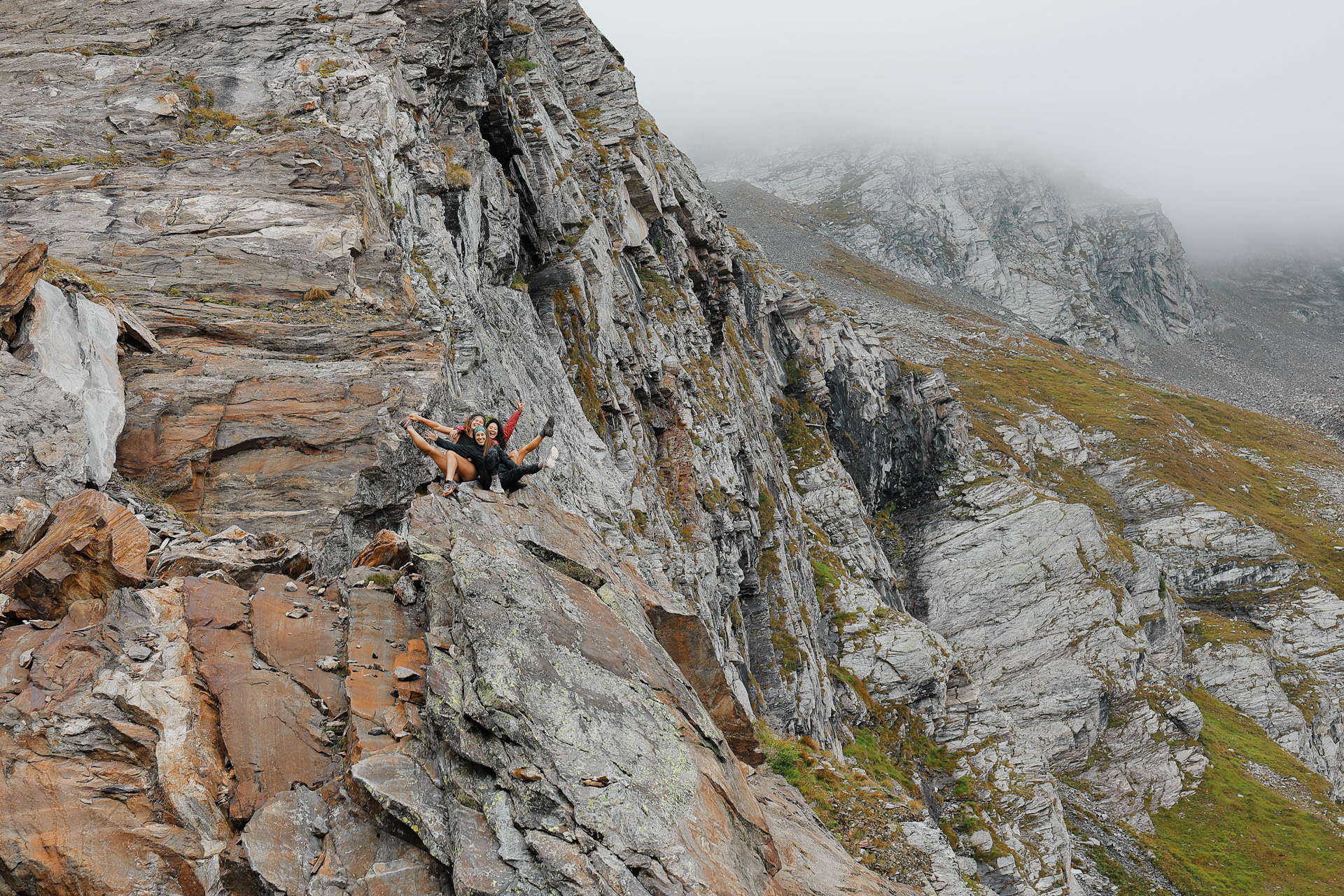
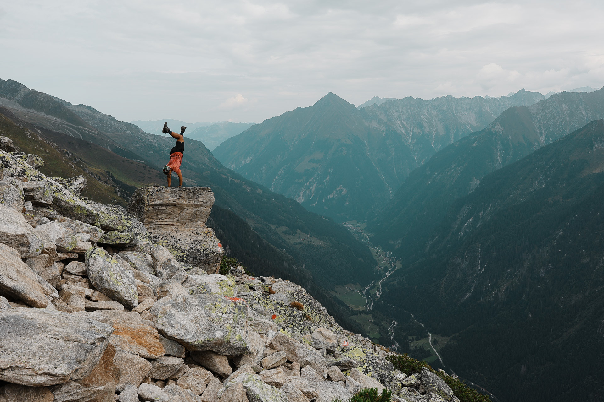
We got to a place that made the girls go "that looks rock-climbable" (mainly Einny). We spent around half an hour here climbing (the girls) while we (the boys) took pictures.
Scale.
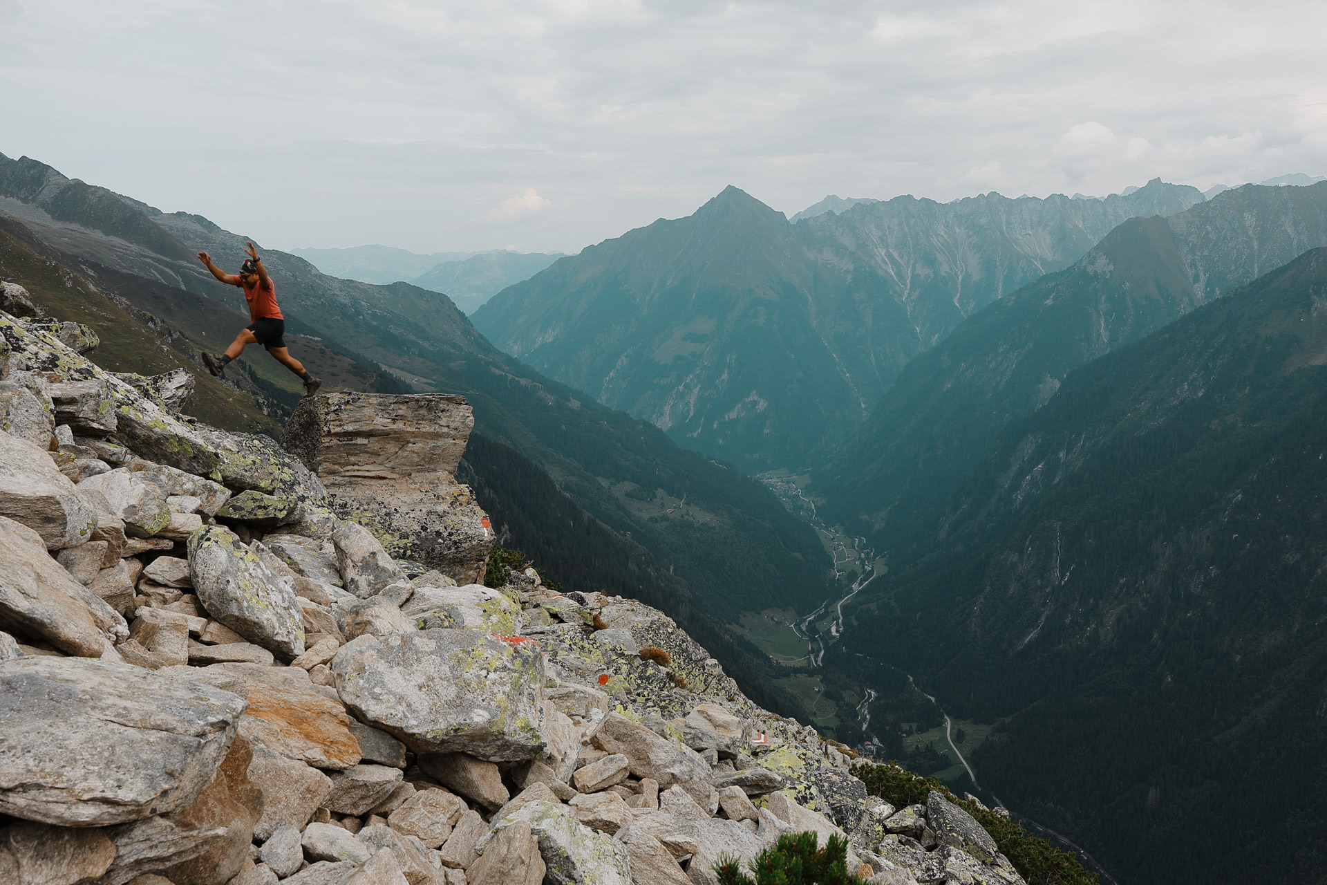
It started drizzling and raining so I put my camera away but for around 2 hours the trail mostly looked like this. UNTIL...
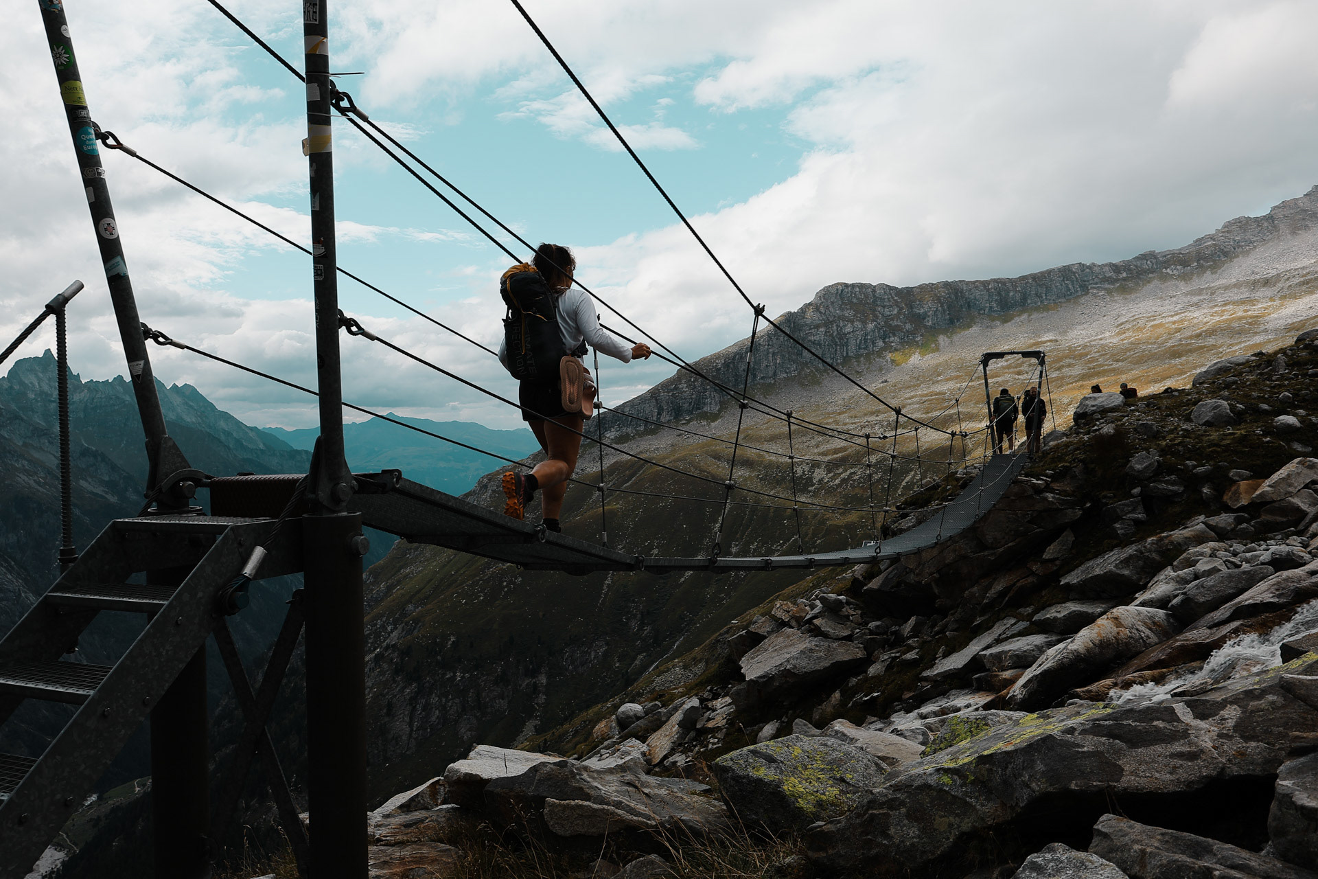
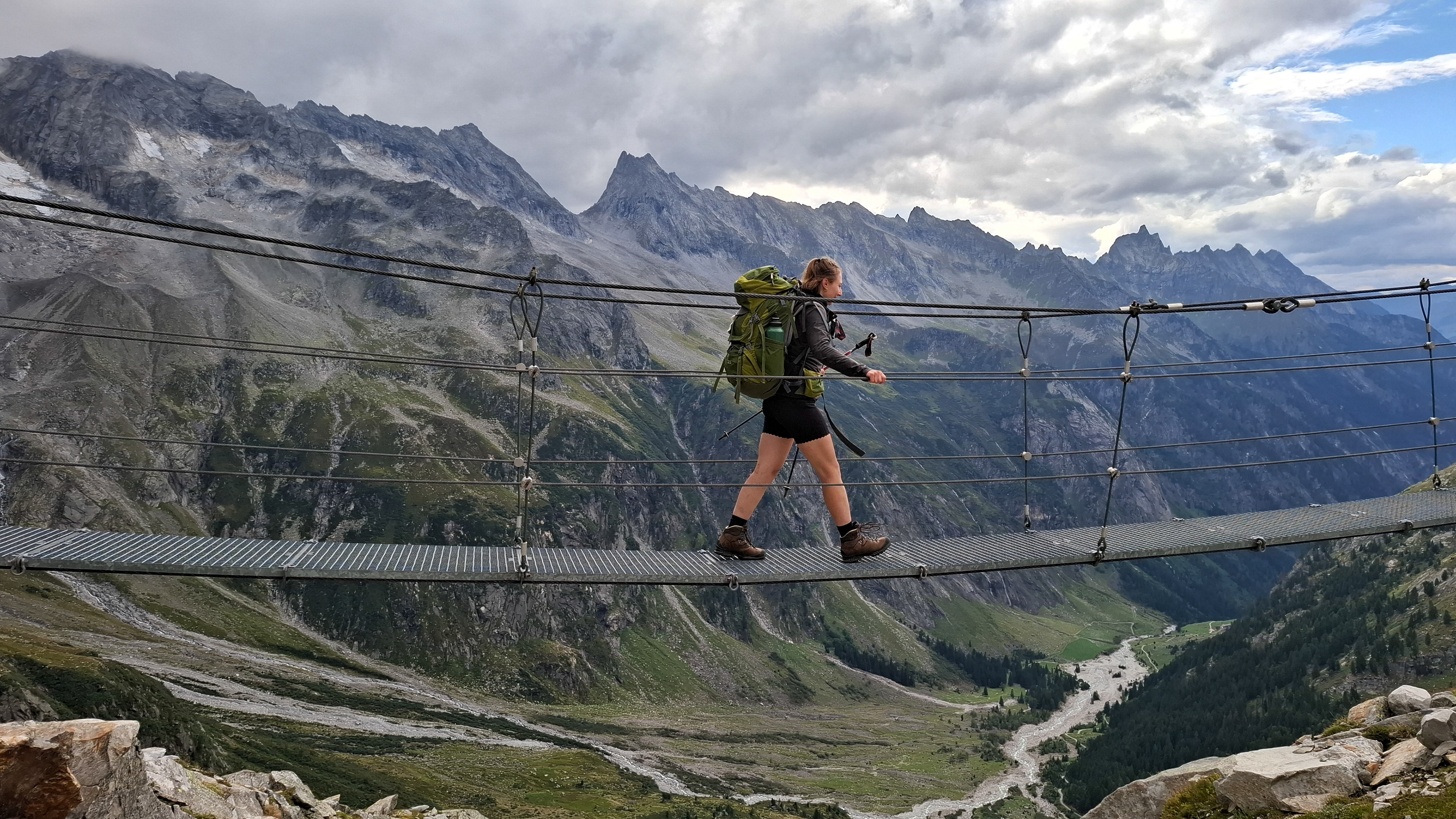
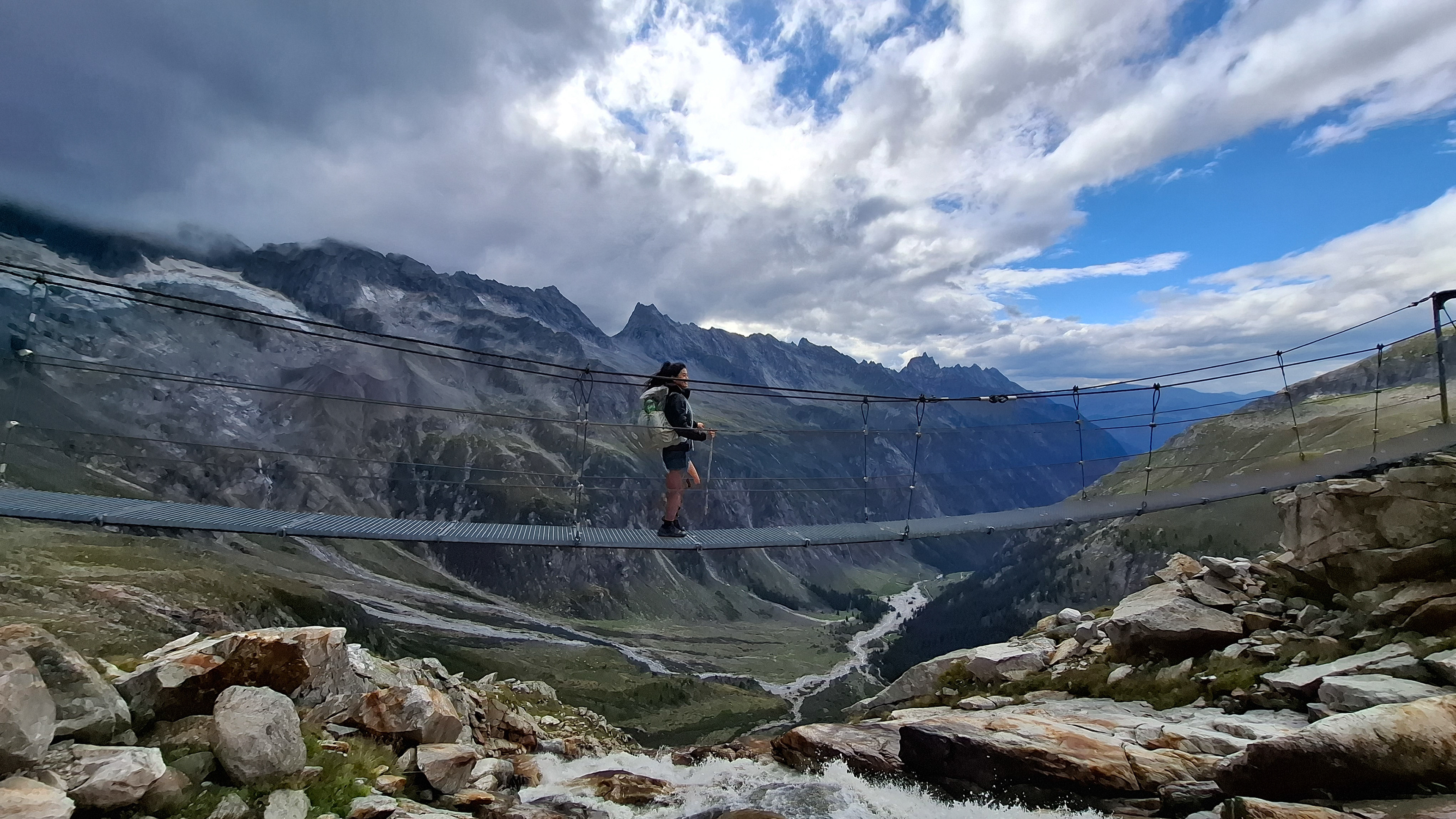
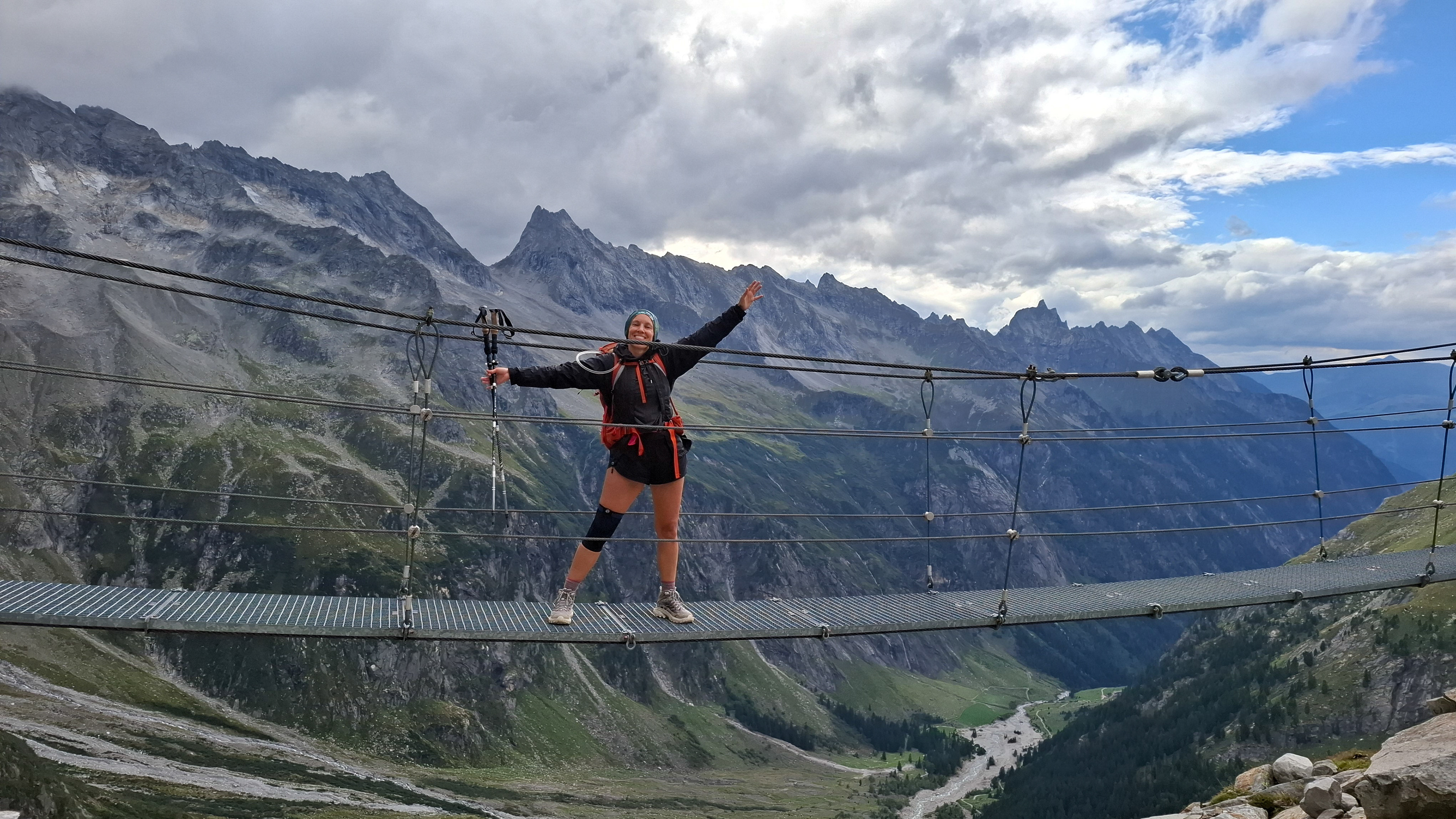
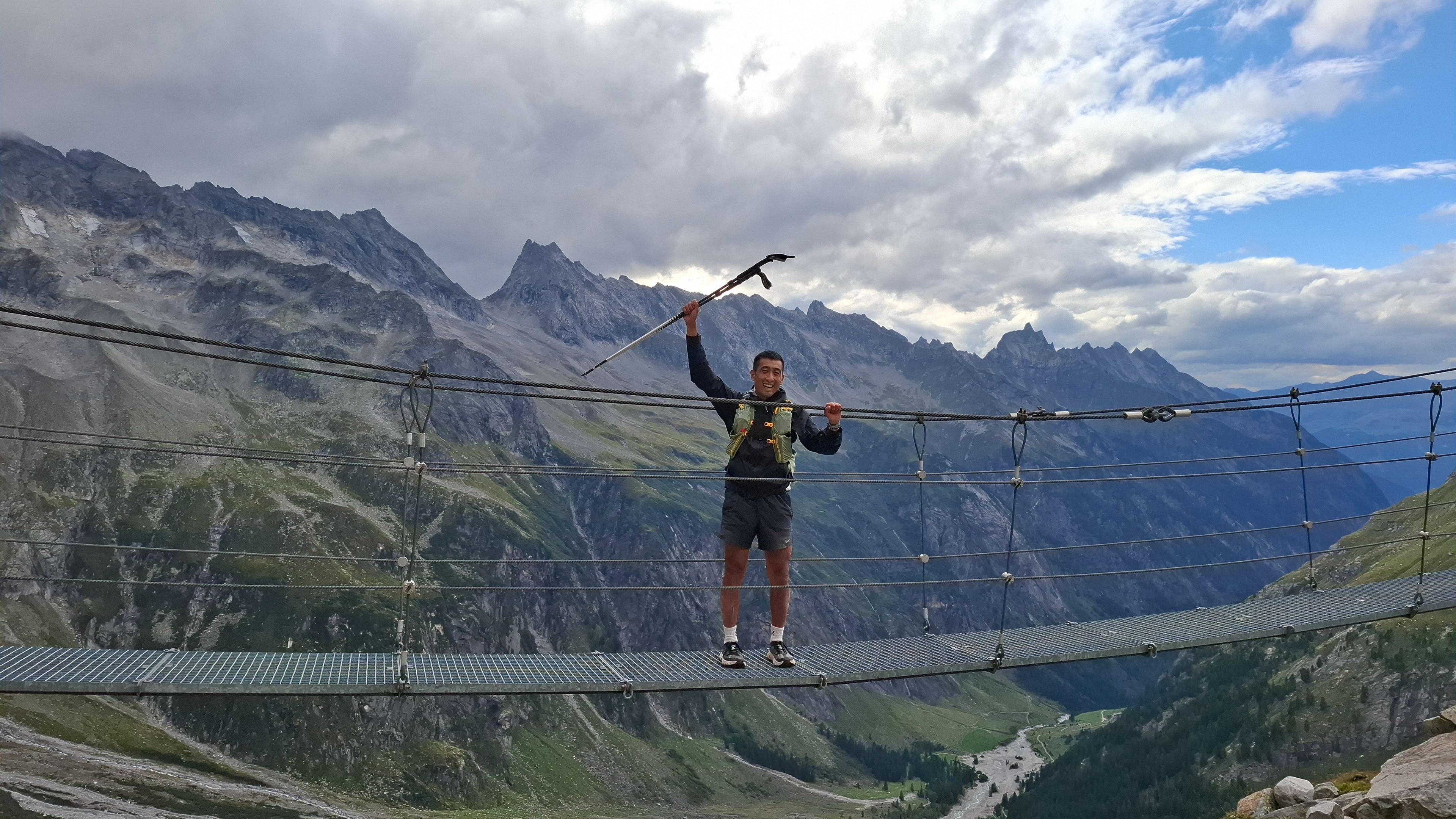
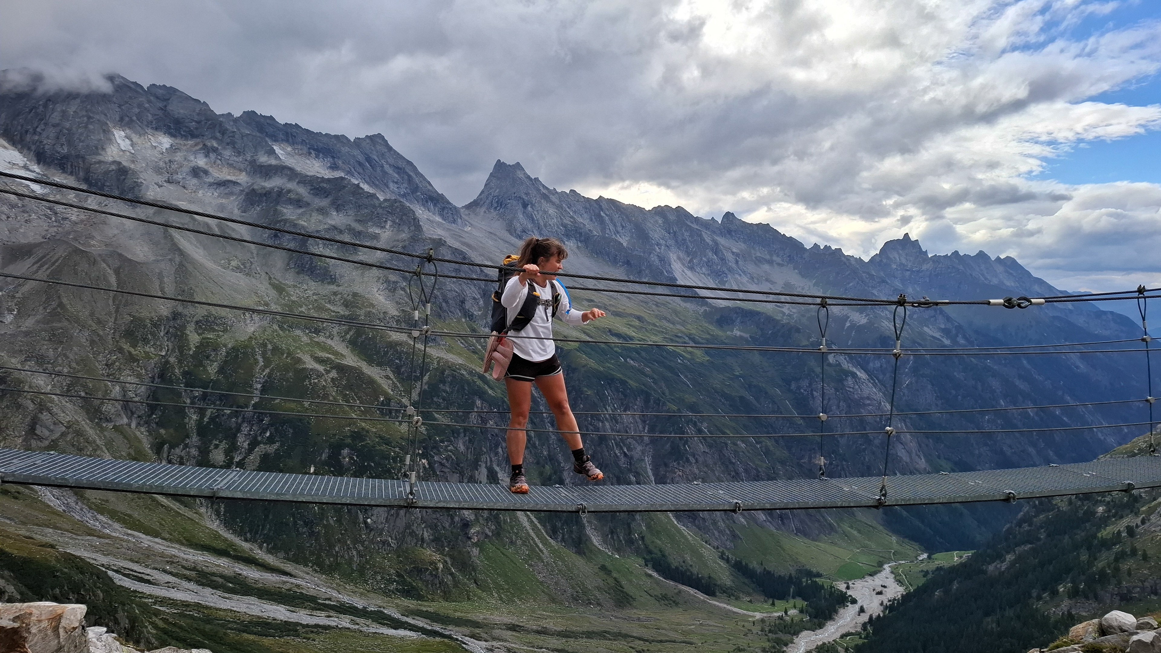
Not pictured: a dozen other people loitering around the bridge waiting for our photo shoot to end.

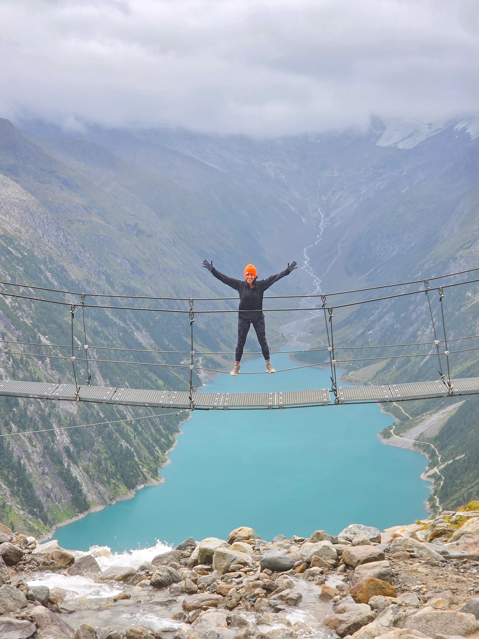

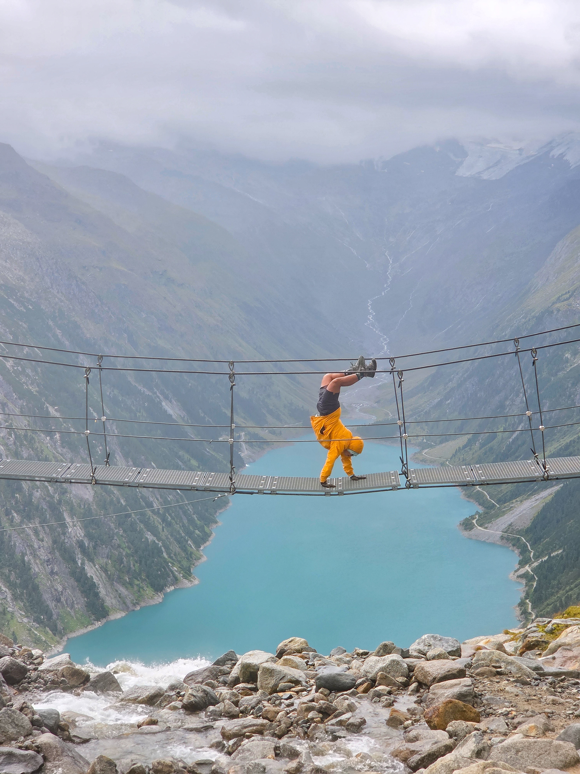
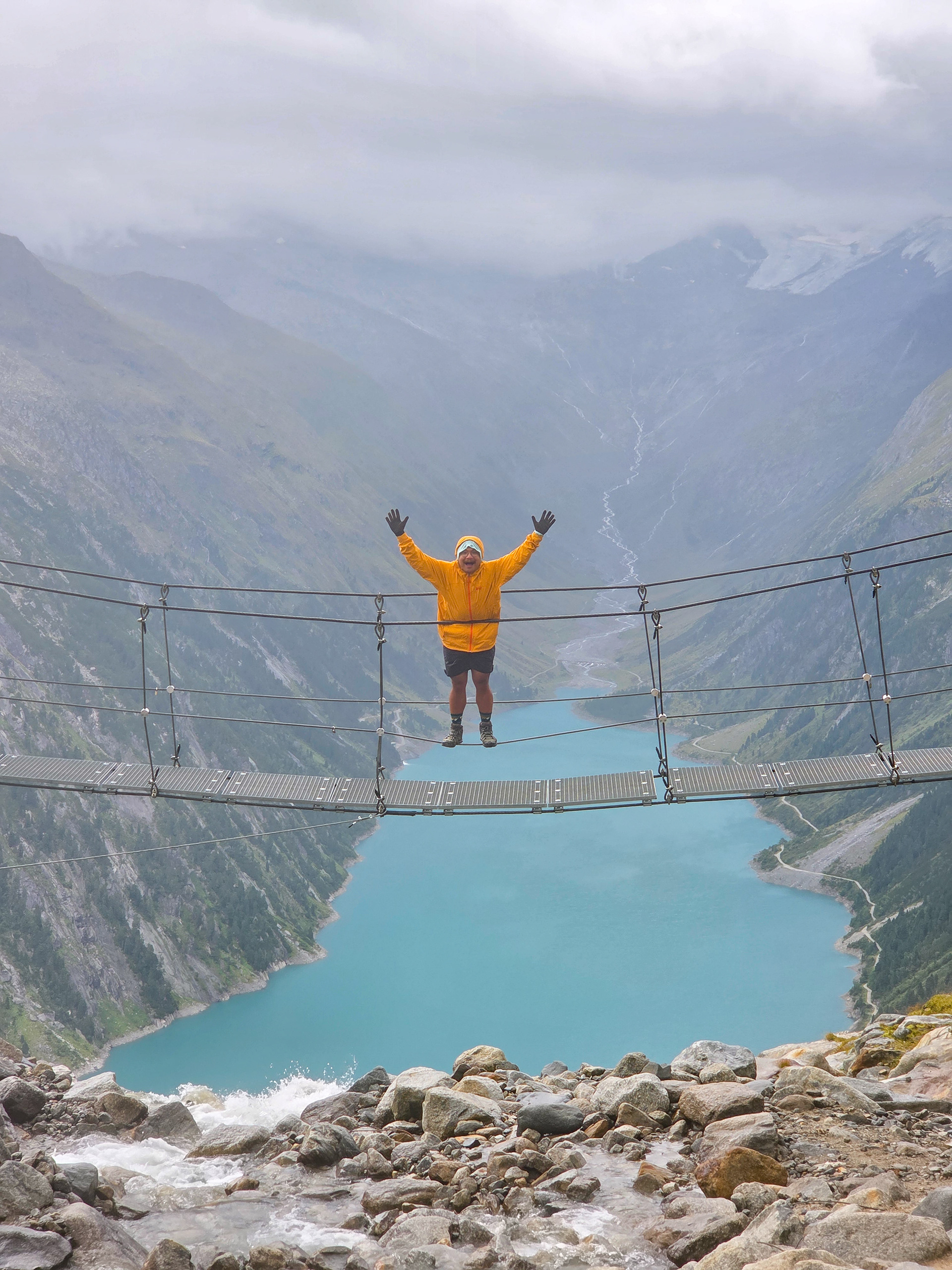
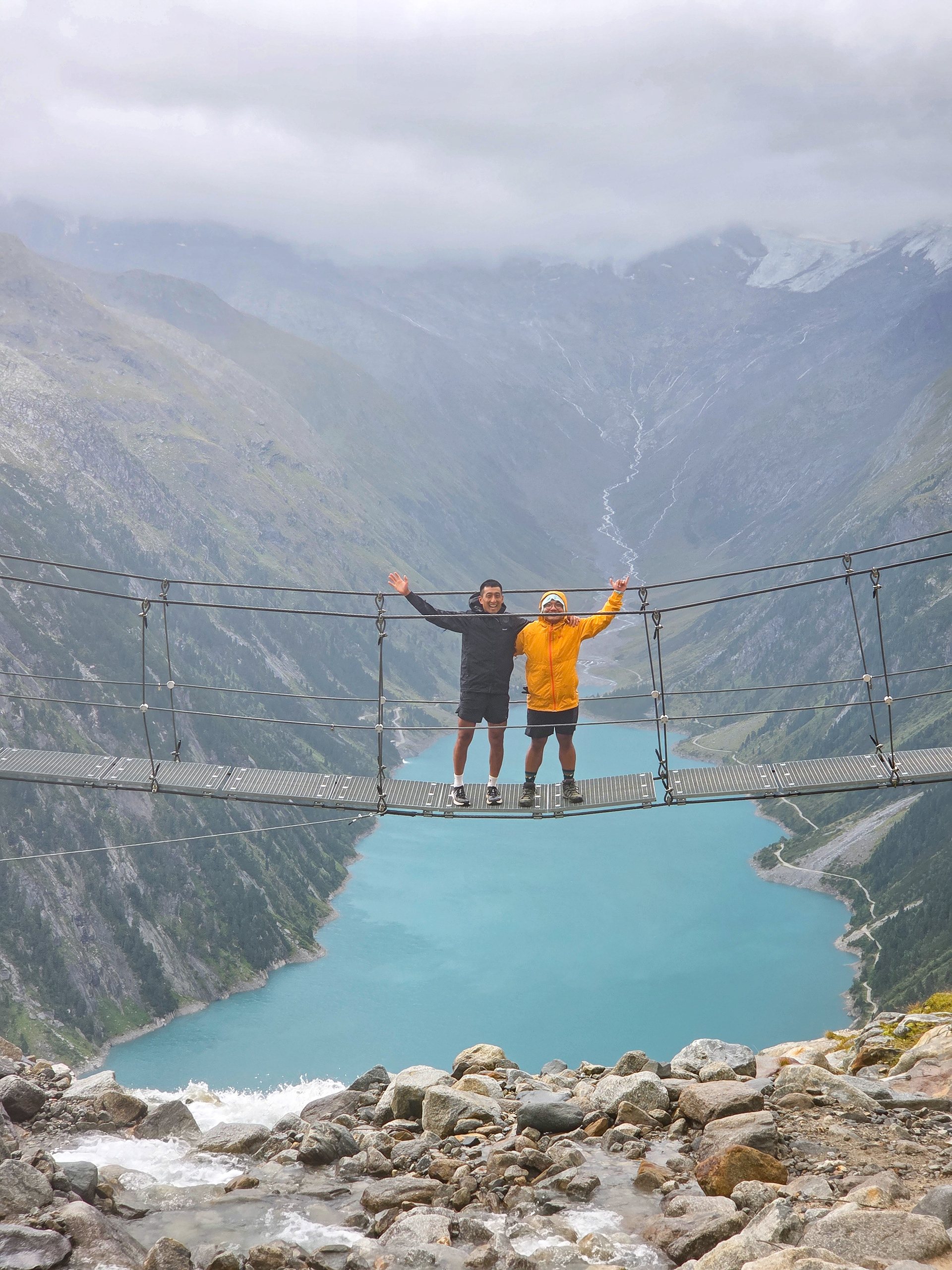
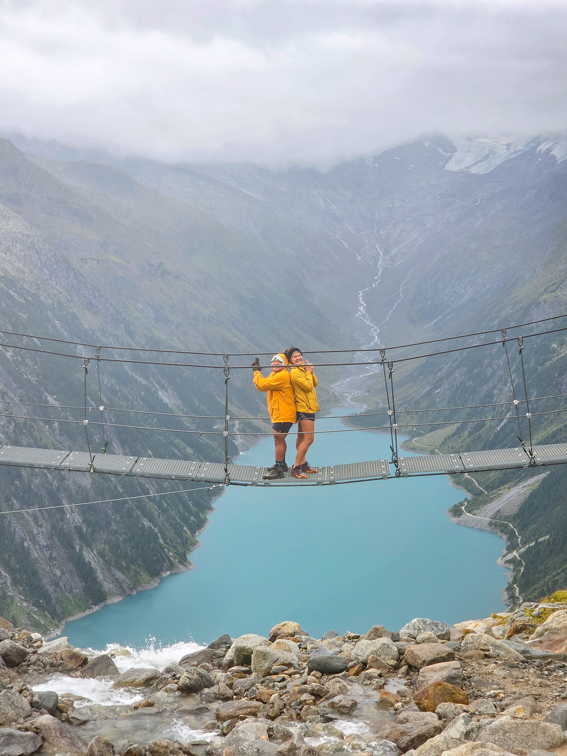
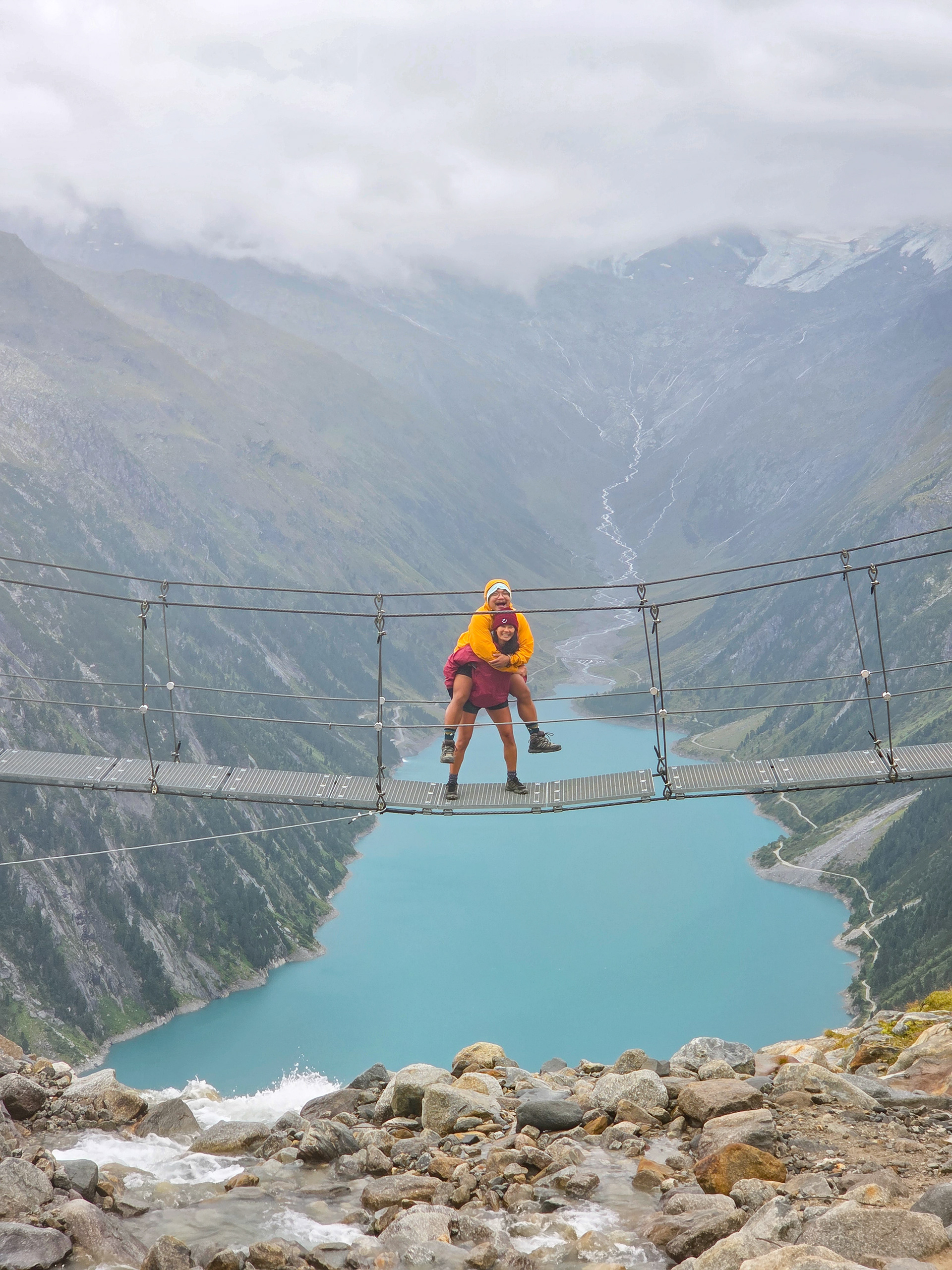
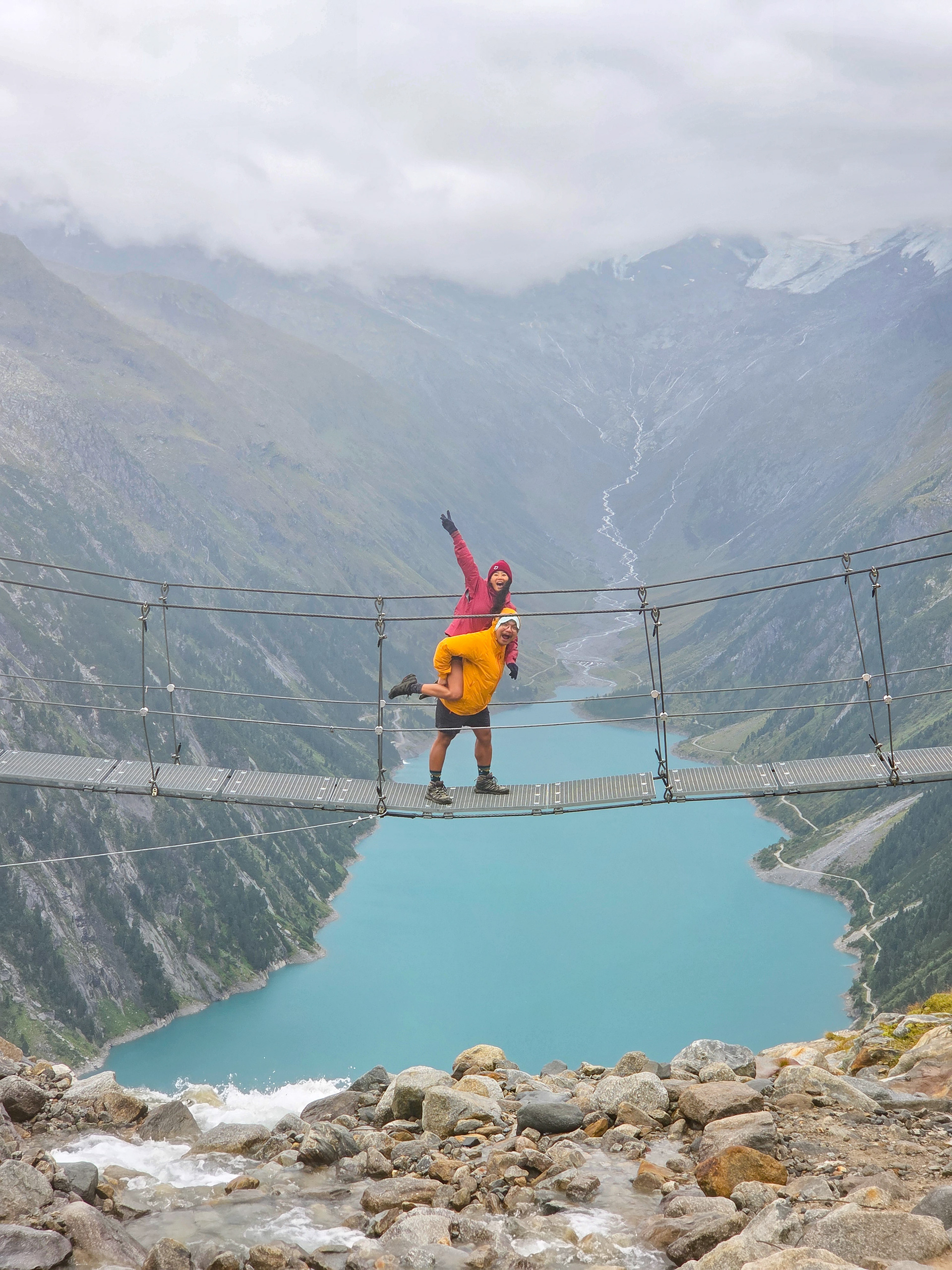
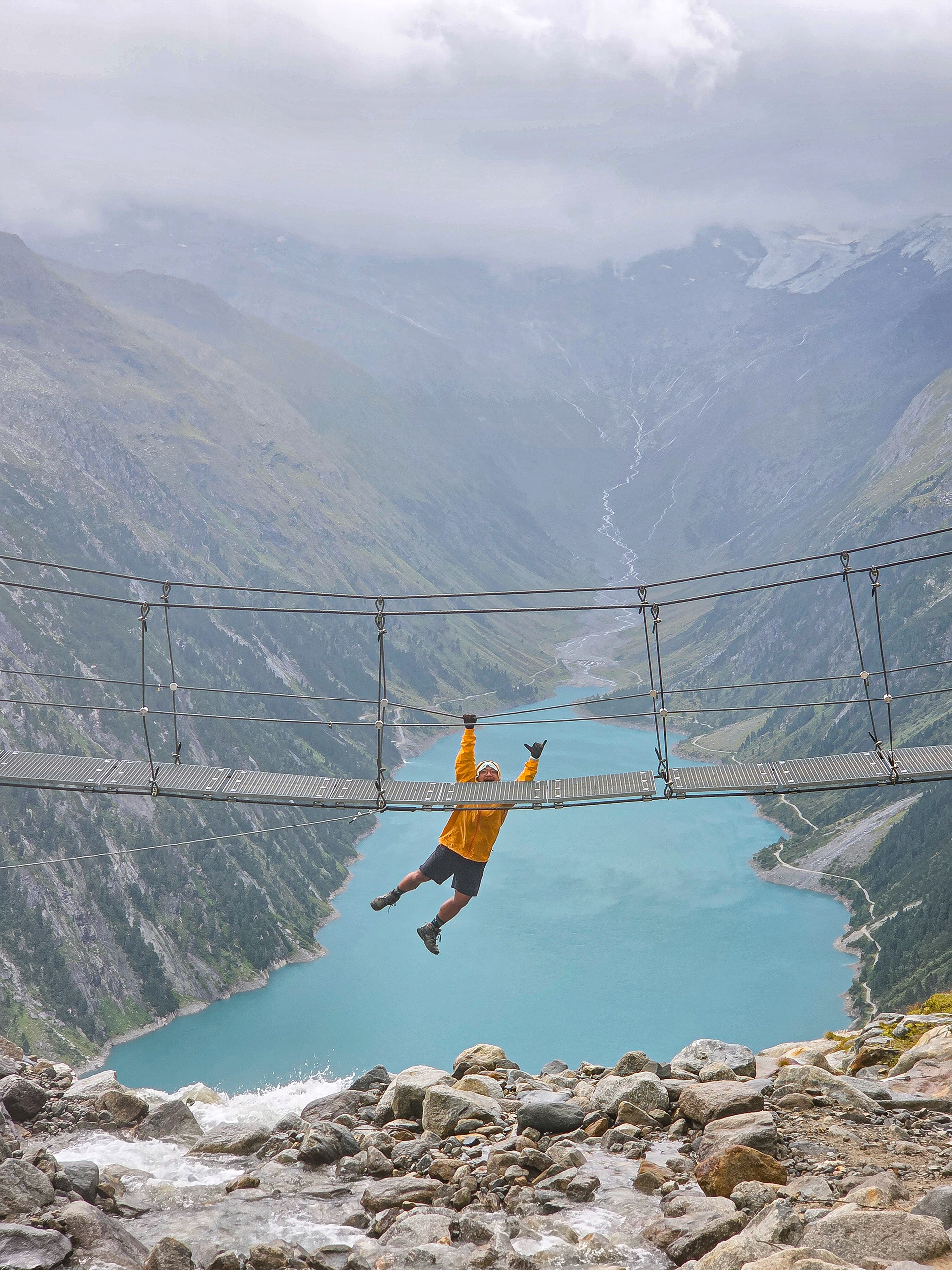
It felt stable and safe enough to me, okay‽ Apparently a lot of people are shocked by this picture but to me it's the same as doing it at a monkey bar at a playground... like in the same way they say if you can tread water in a 10 foot pool you can tread water in a 1000 foot pool.
(By the way, that punctuation mark in the first sentence is an interrobang. I just recently learned about it and wanted to use it.)
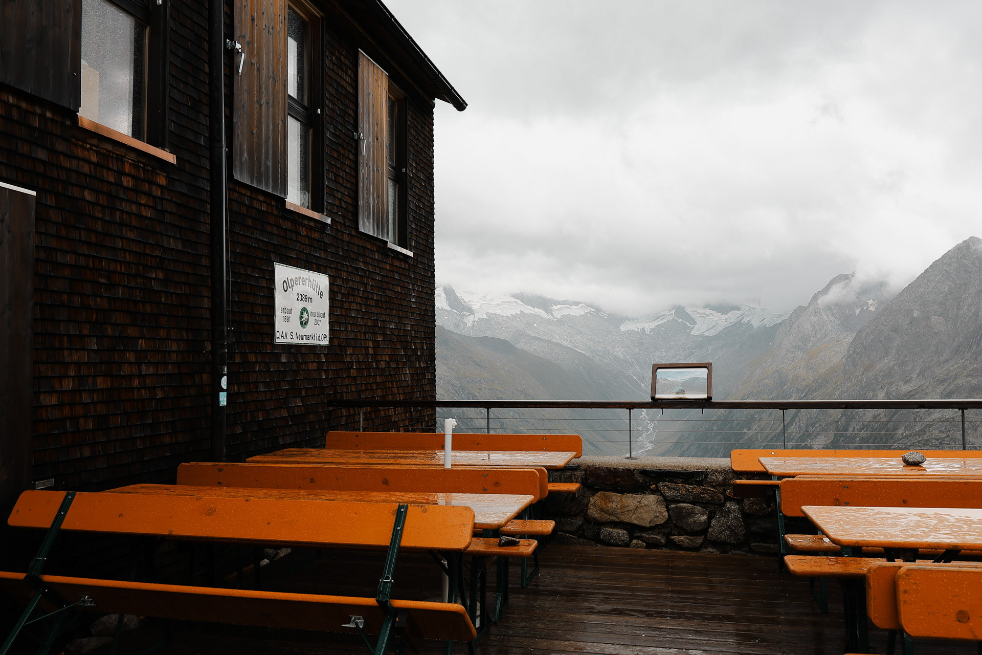
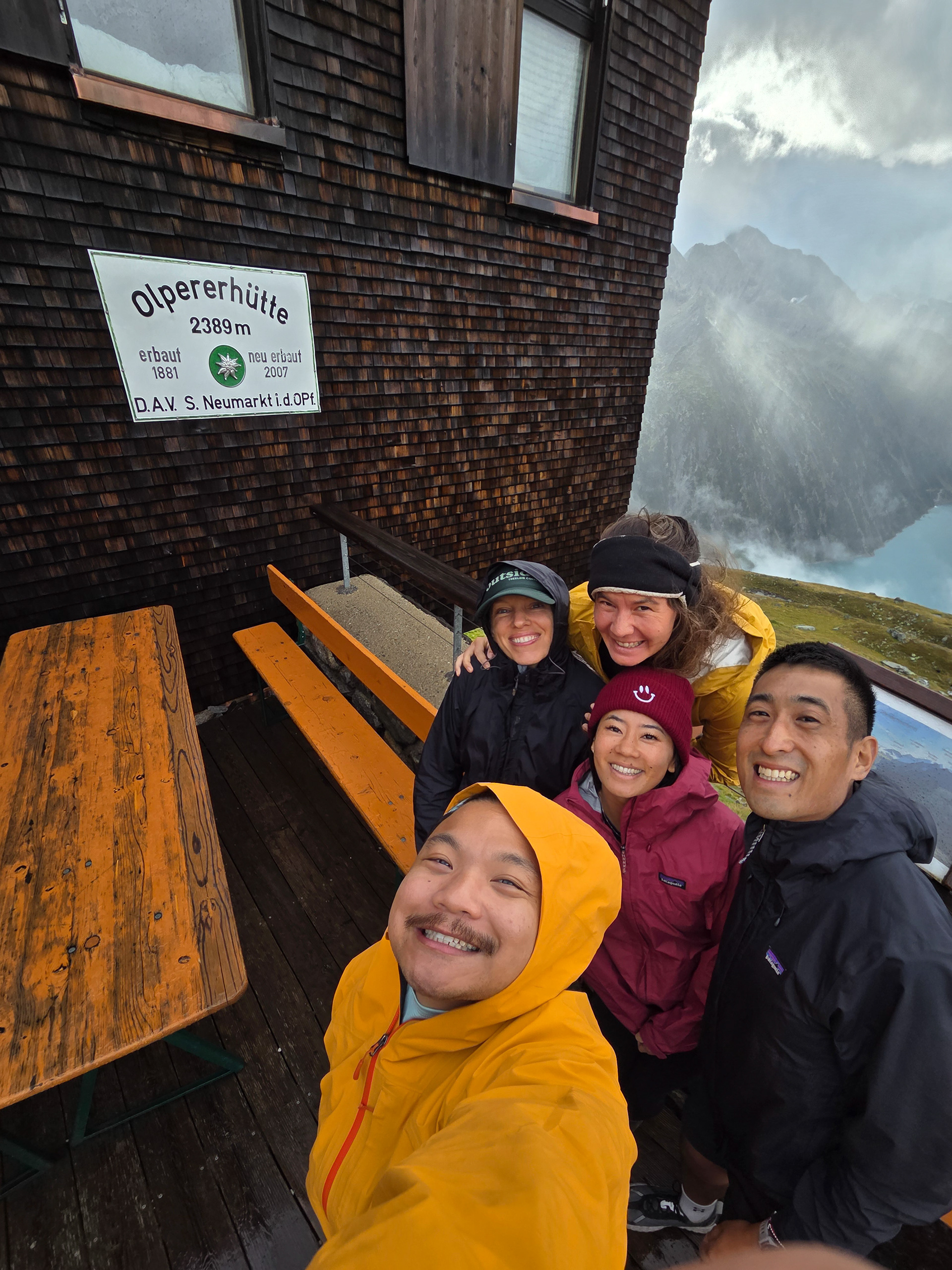
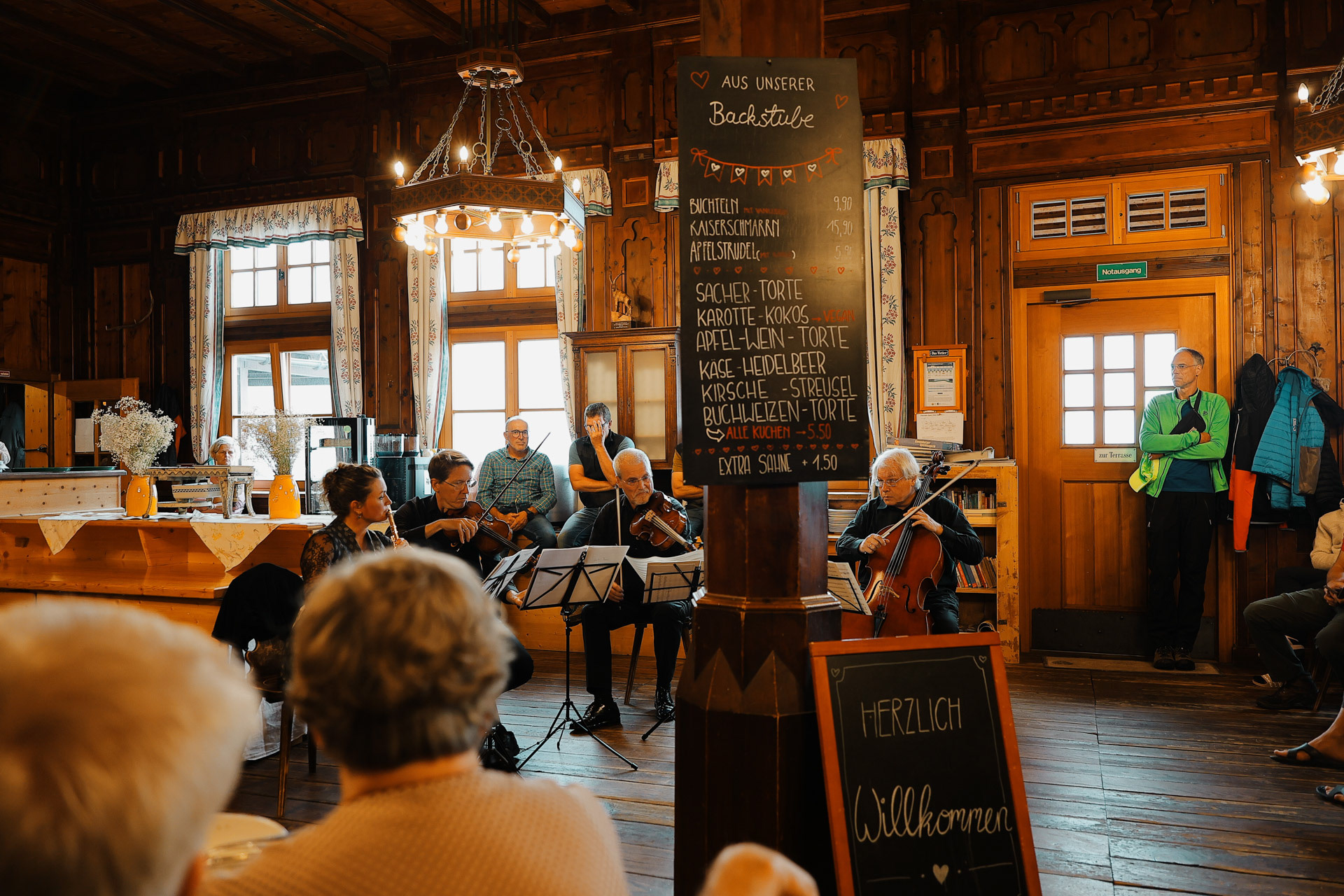
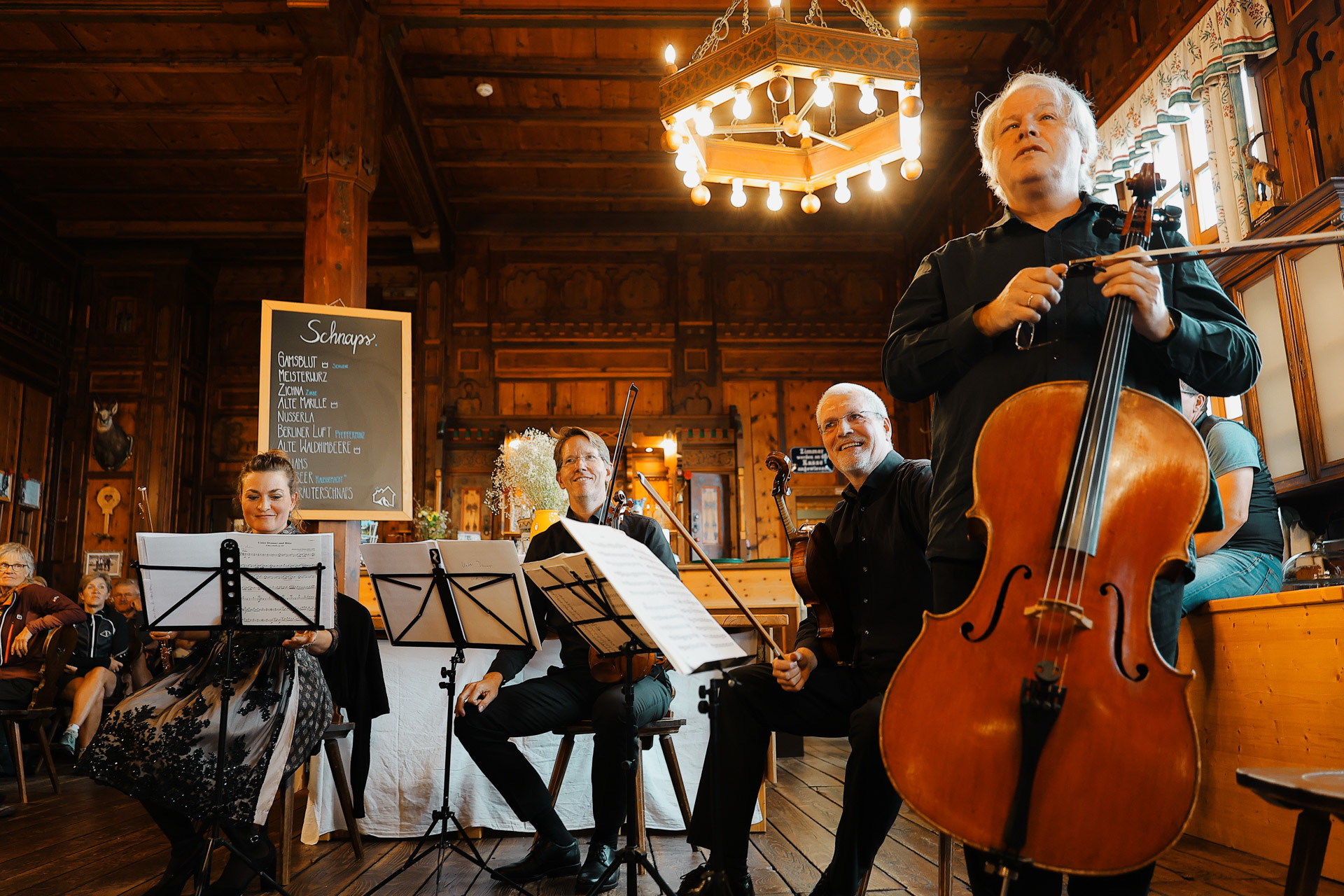
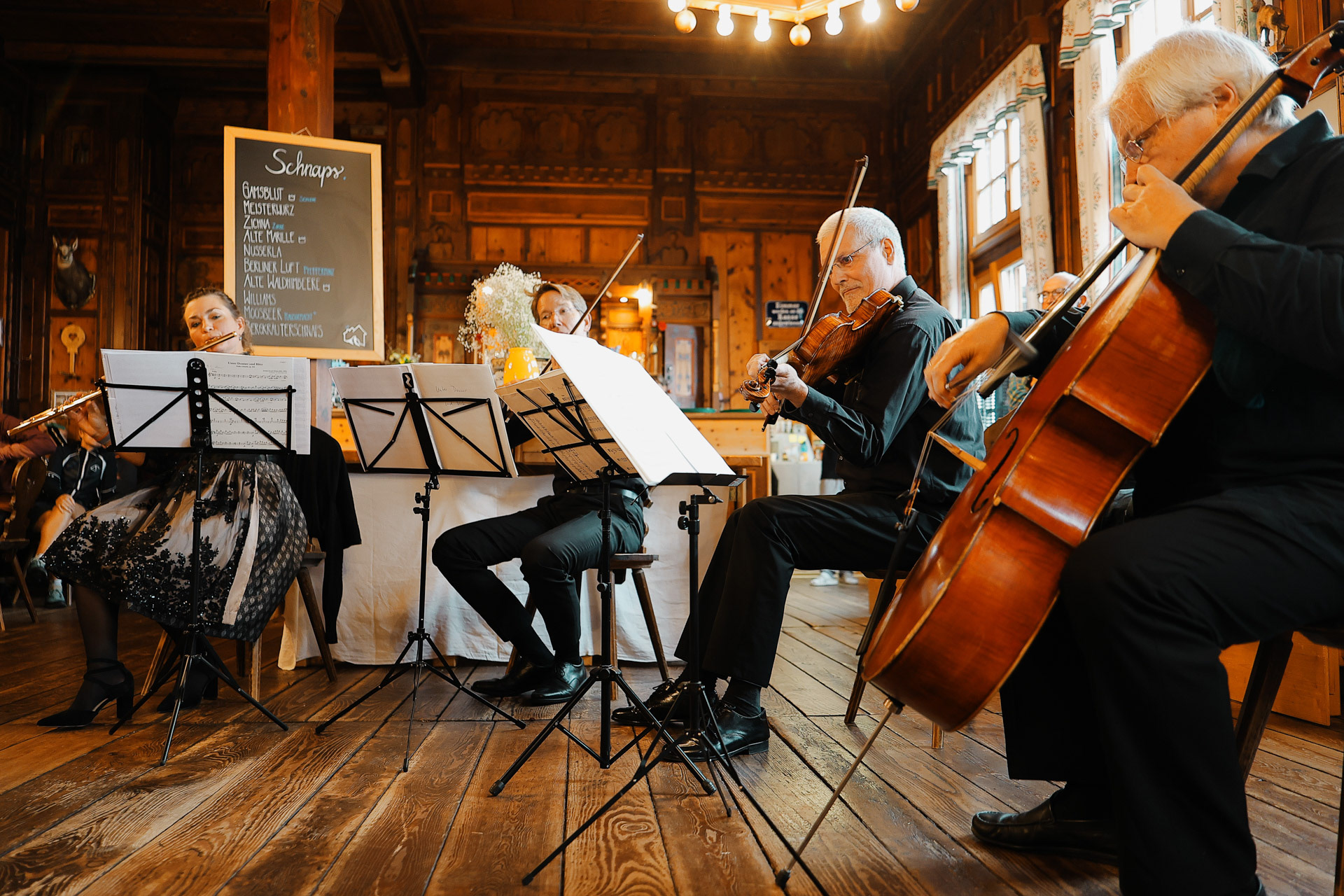
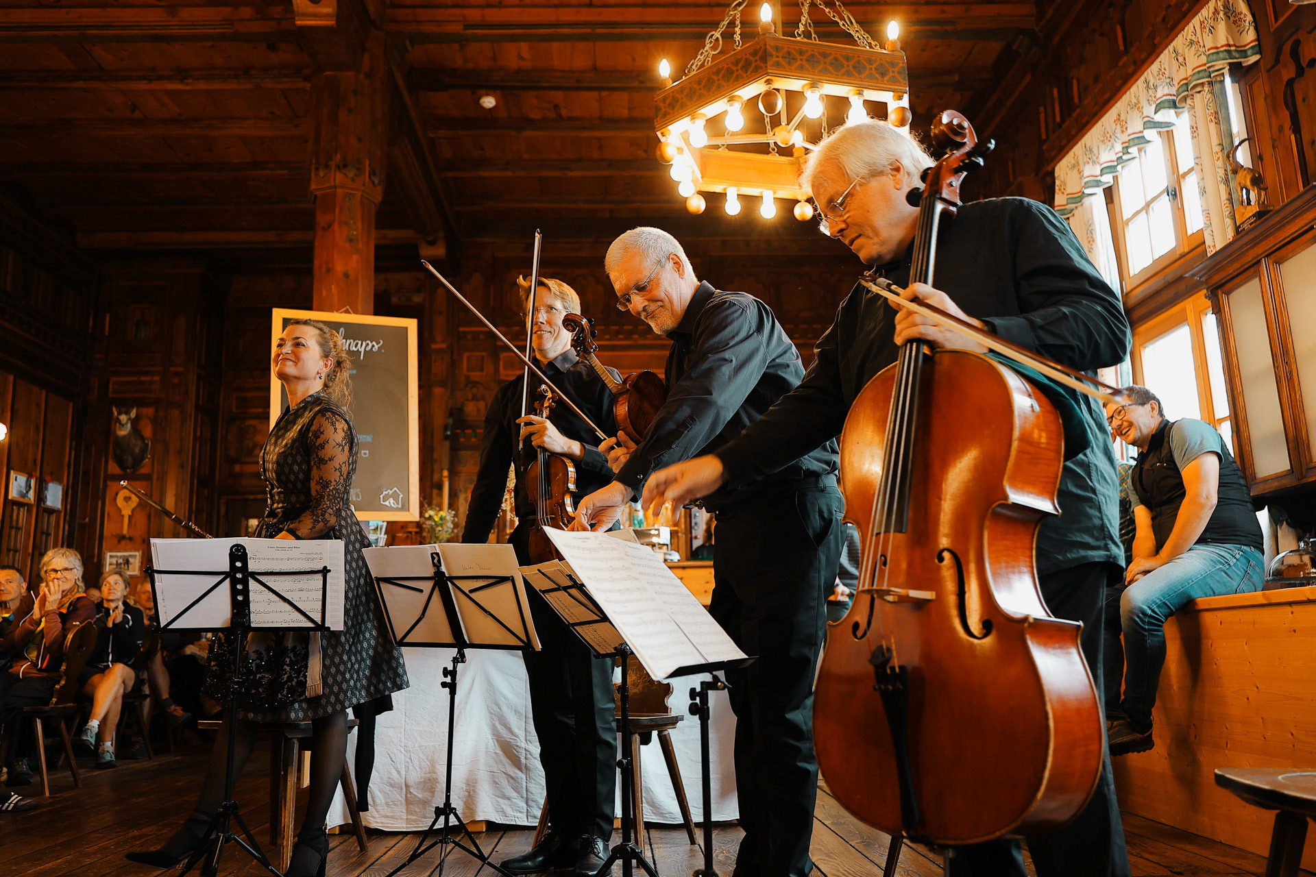
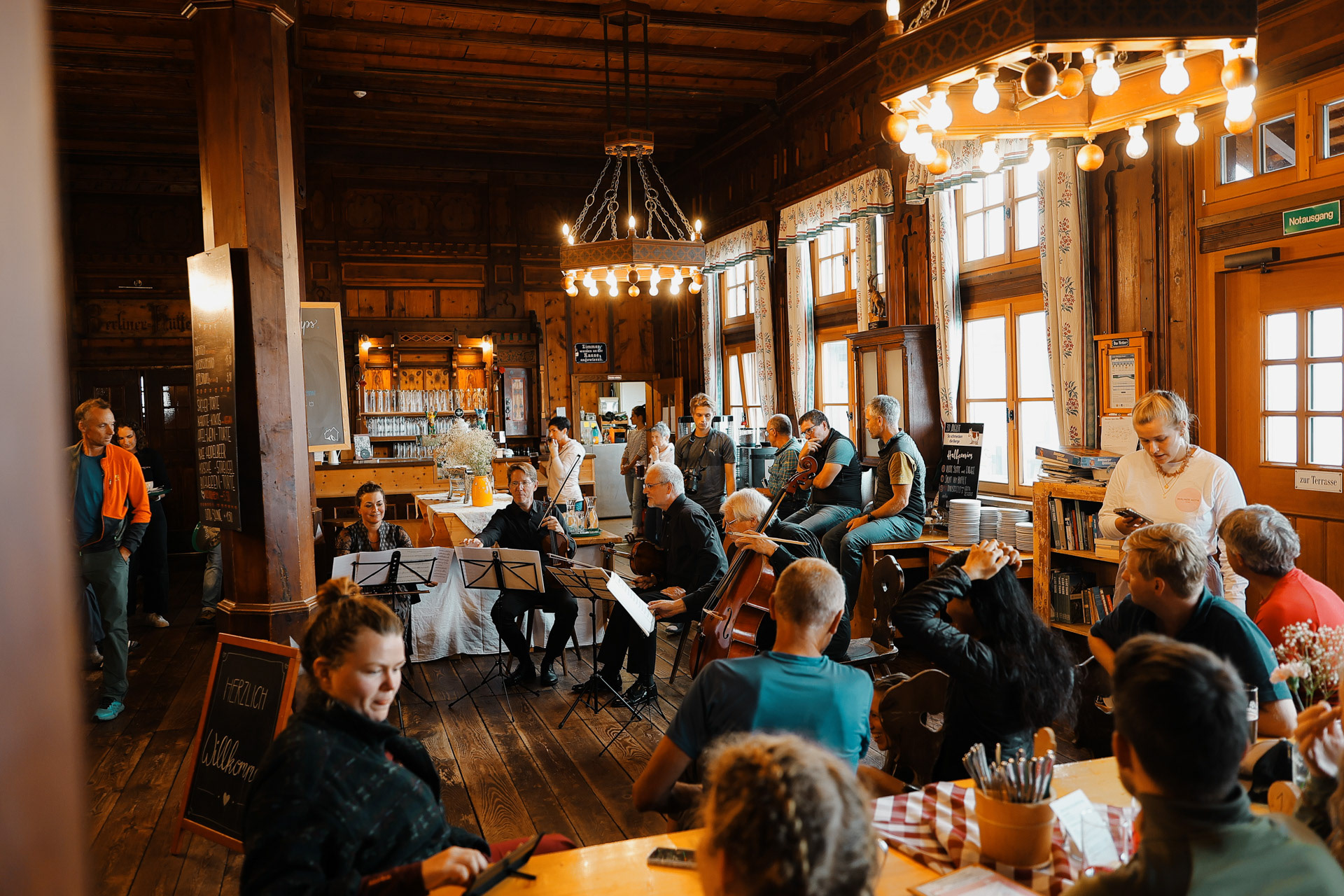
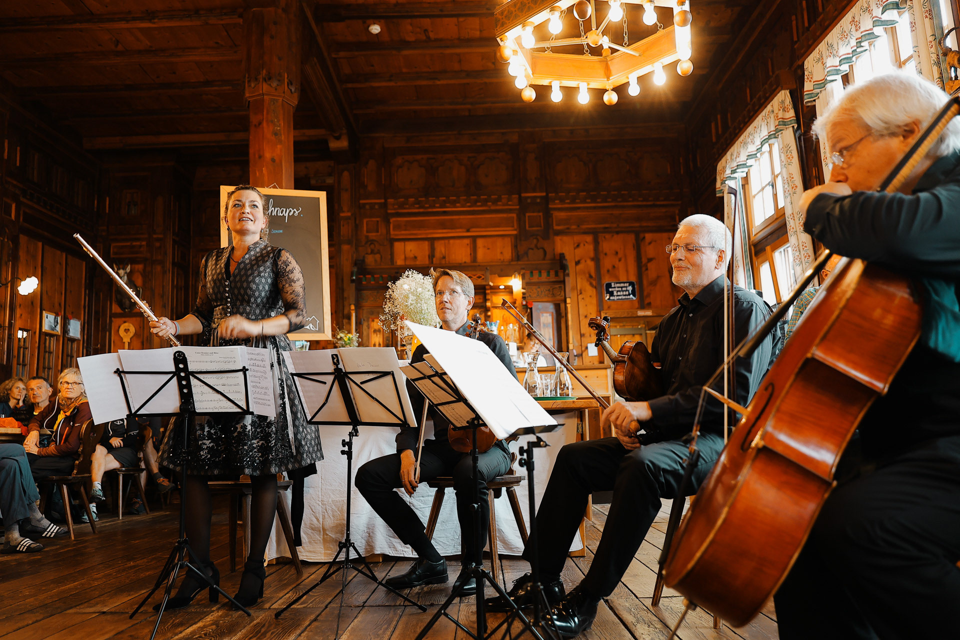
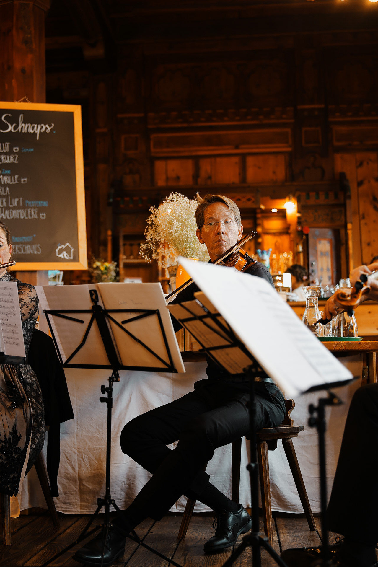
The Olpererhütte stands like a sentinel above the Schlegeisspeicher. This view of the building is inspired by a painting in the dining room. Of all of the huts on the traditional BHT this one is probably the second-most accessible by day hikers as people can ride the bus all the way to the lake and just hike up to the hut (takes around 1-2 hours). The most accesible is probably the last hut, Karl-von-Edel-Hutte, which you’ll see why in Stage 8! As we sat at our cafeteria table for nine hours, we observed numerous day hikers as evidenced by their jeans, designer purses, and fashionable boots!. This is also probably one of the most modern huts as it was renovated in 1976.
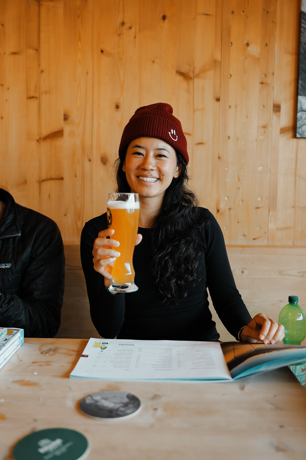
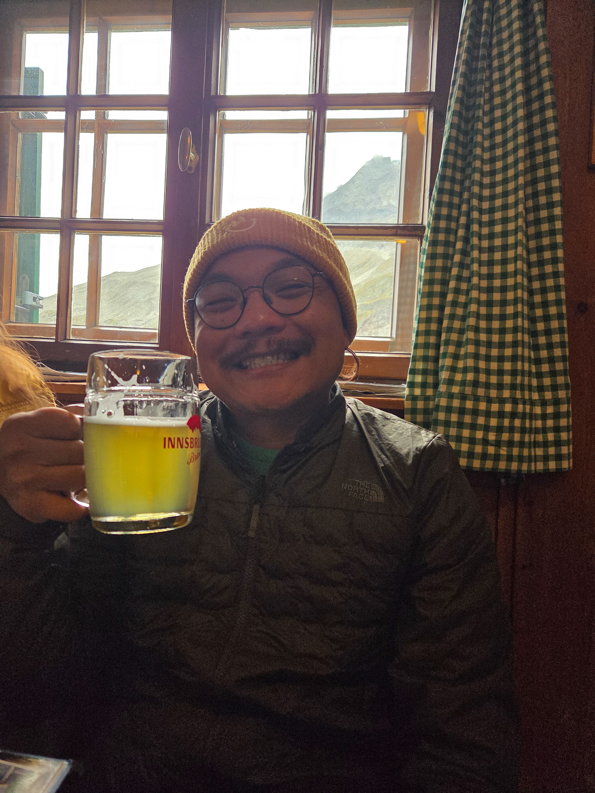
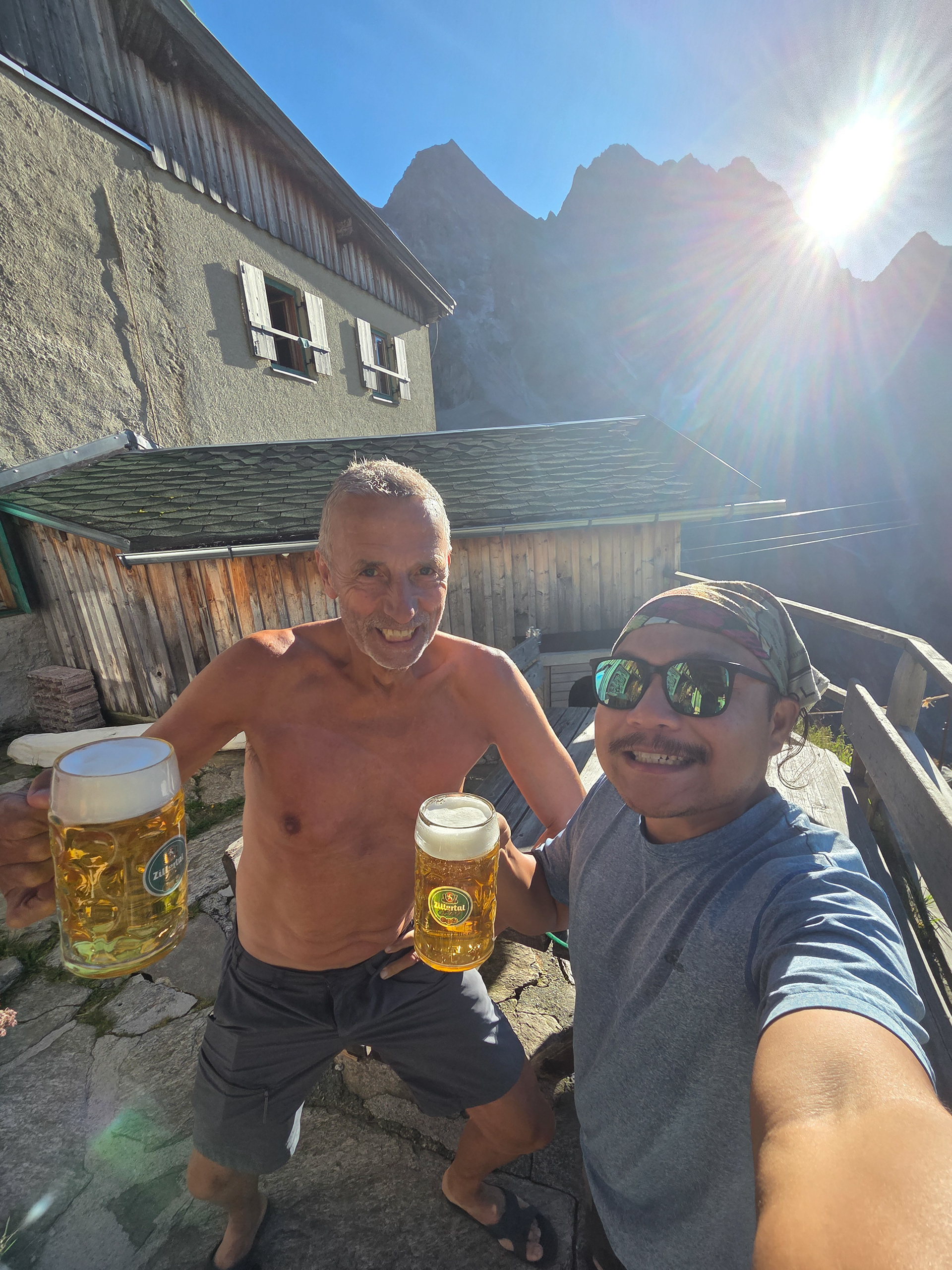
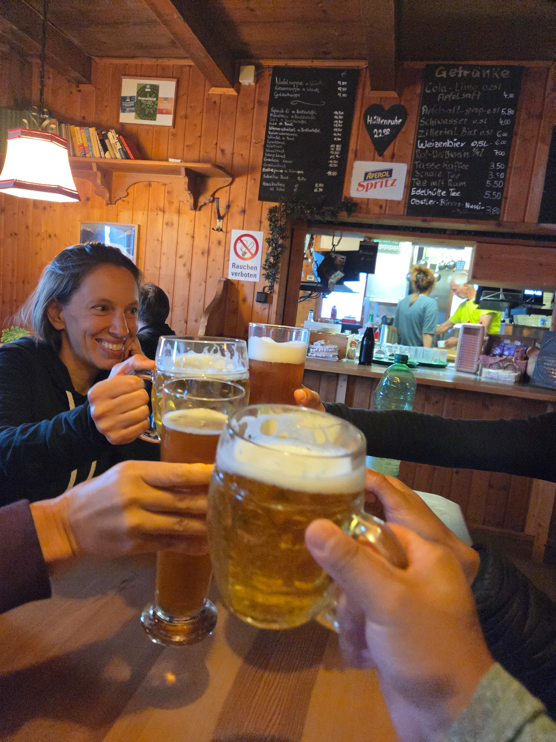
Einny with a well earned beer!
Started to rain hard outside. Glad to have made it in!
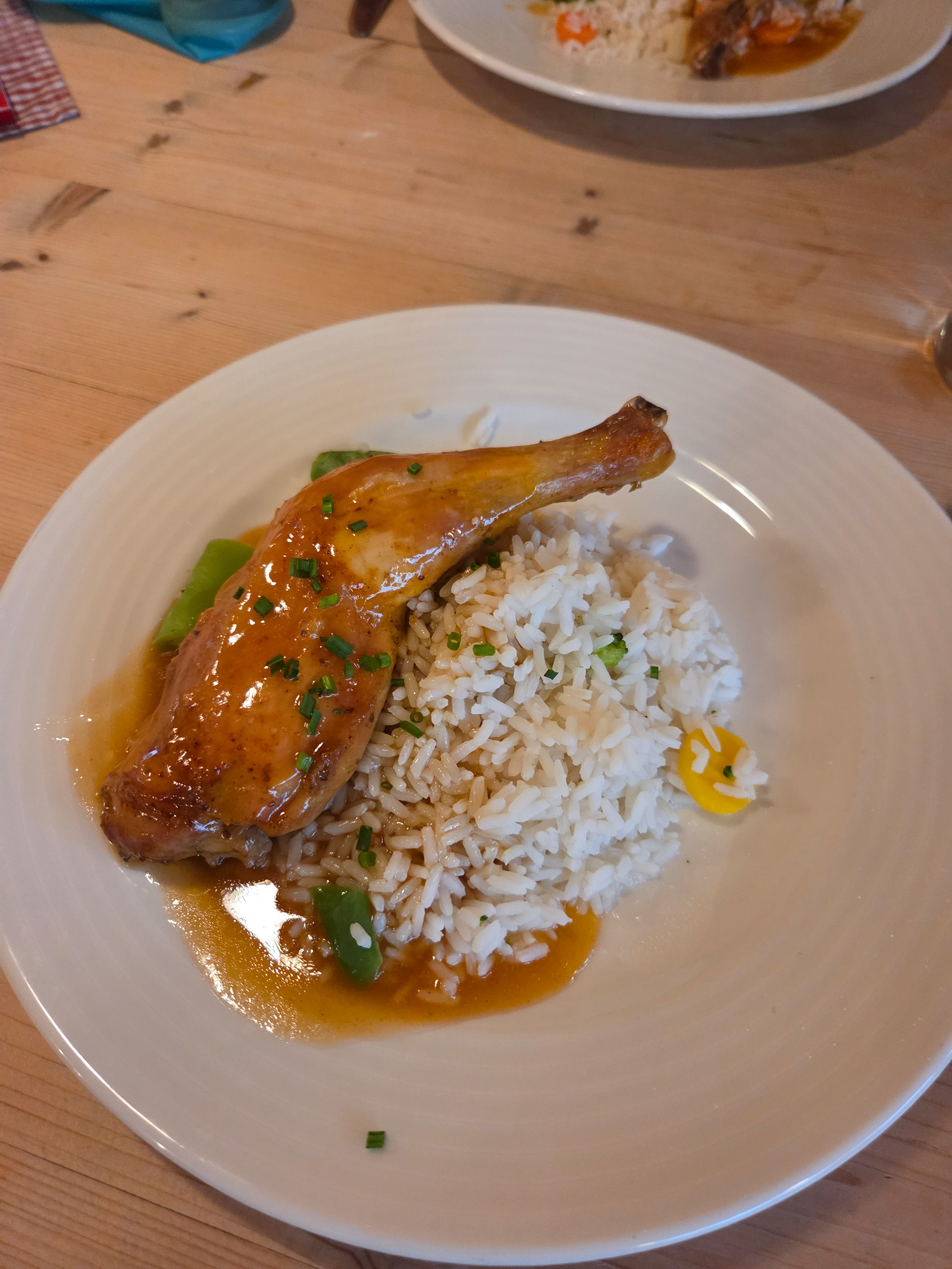
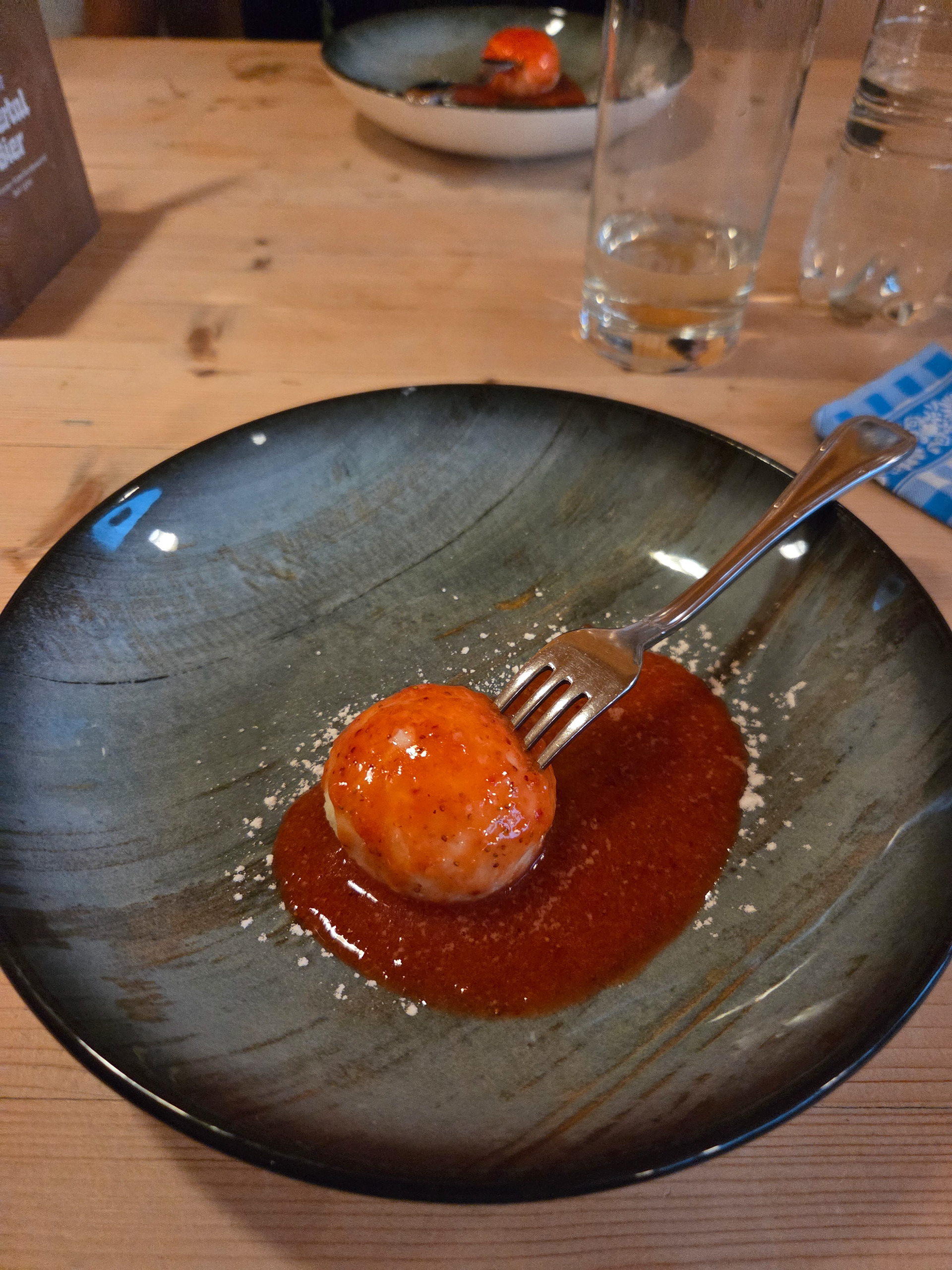
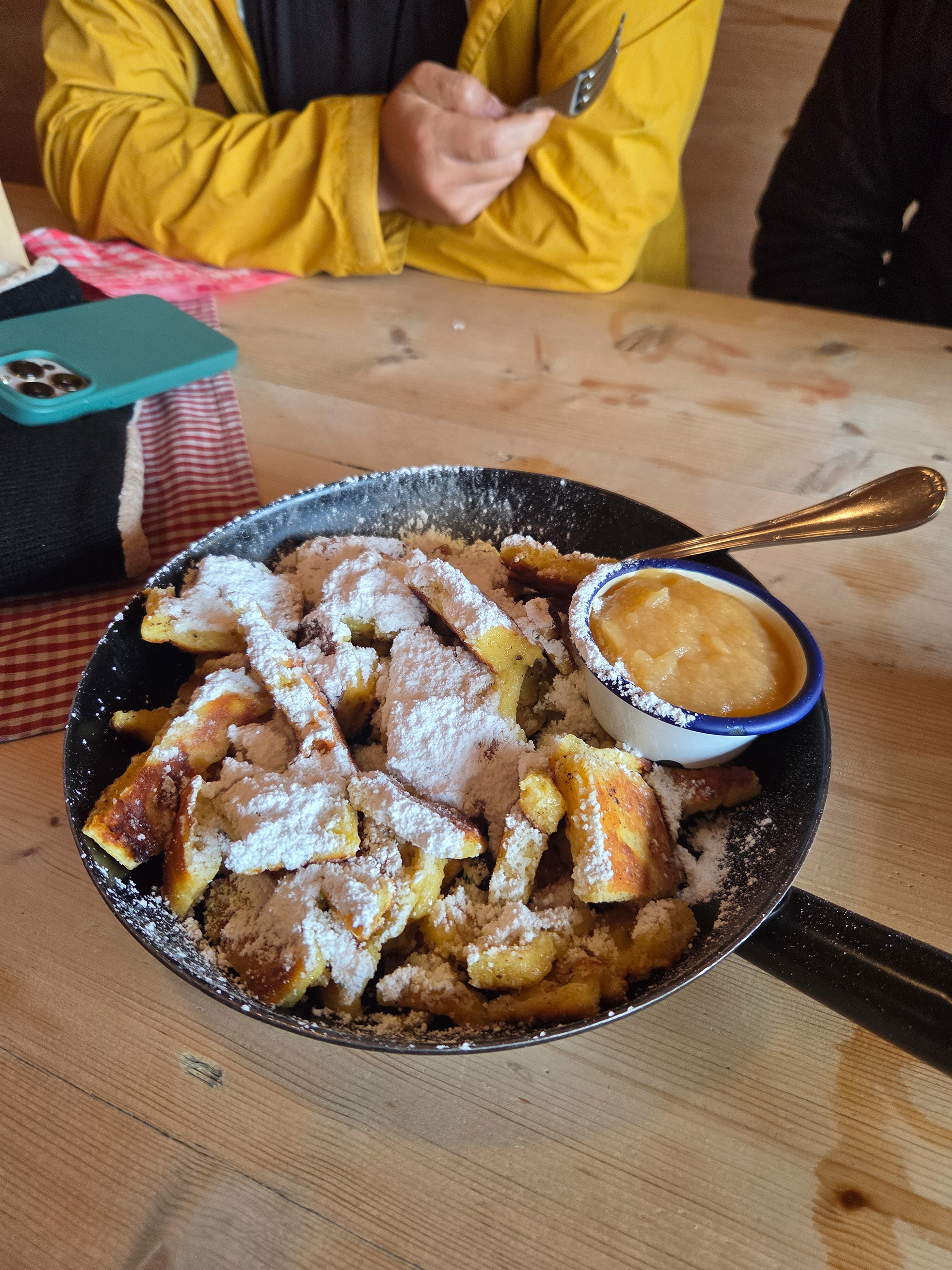
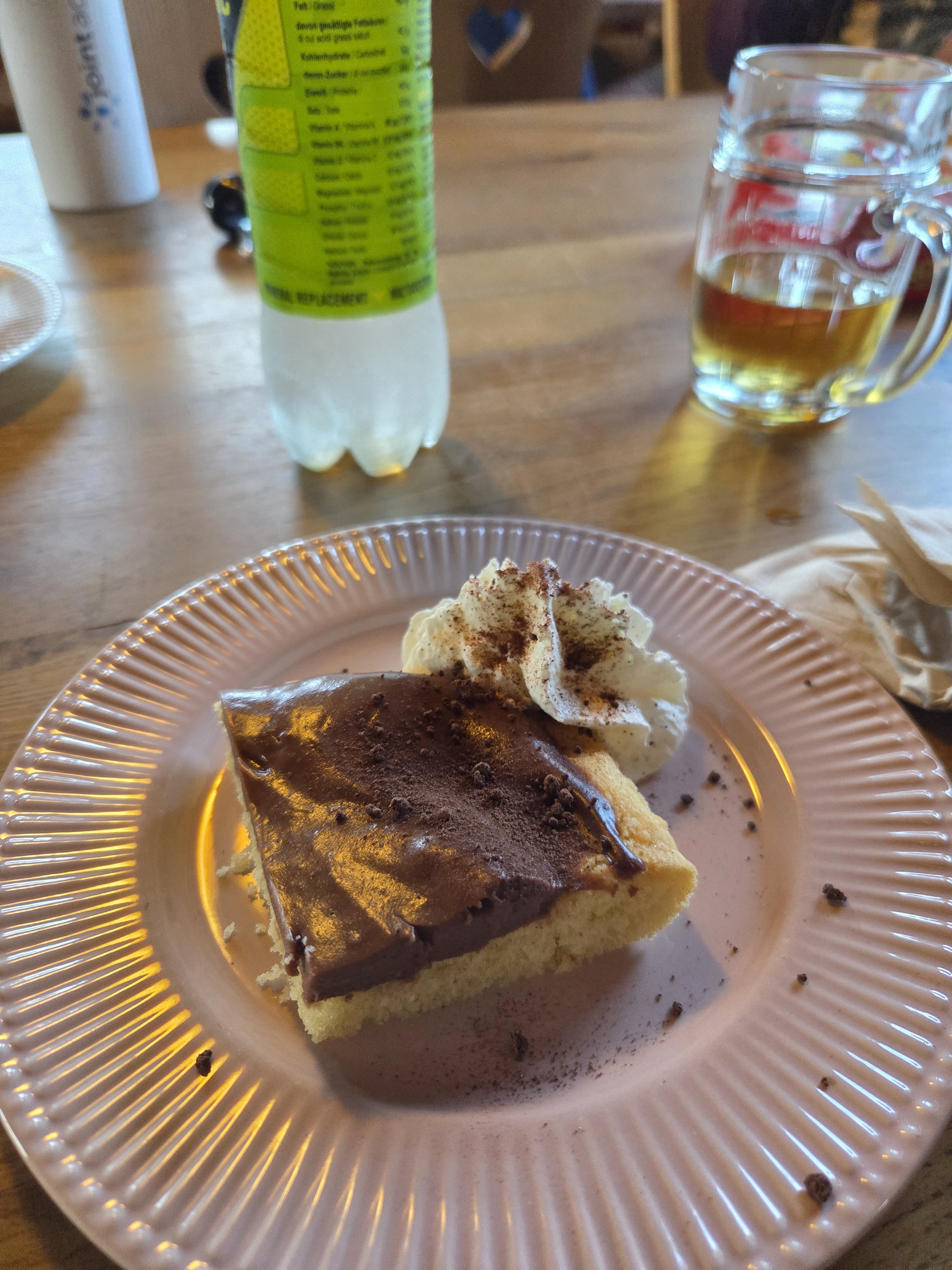
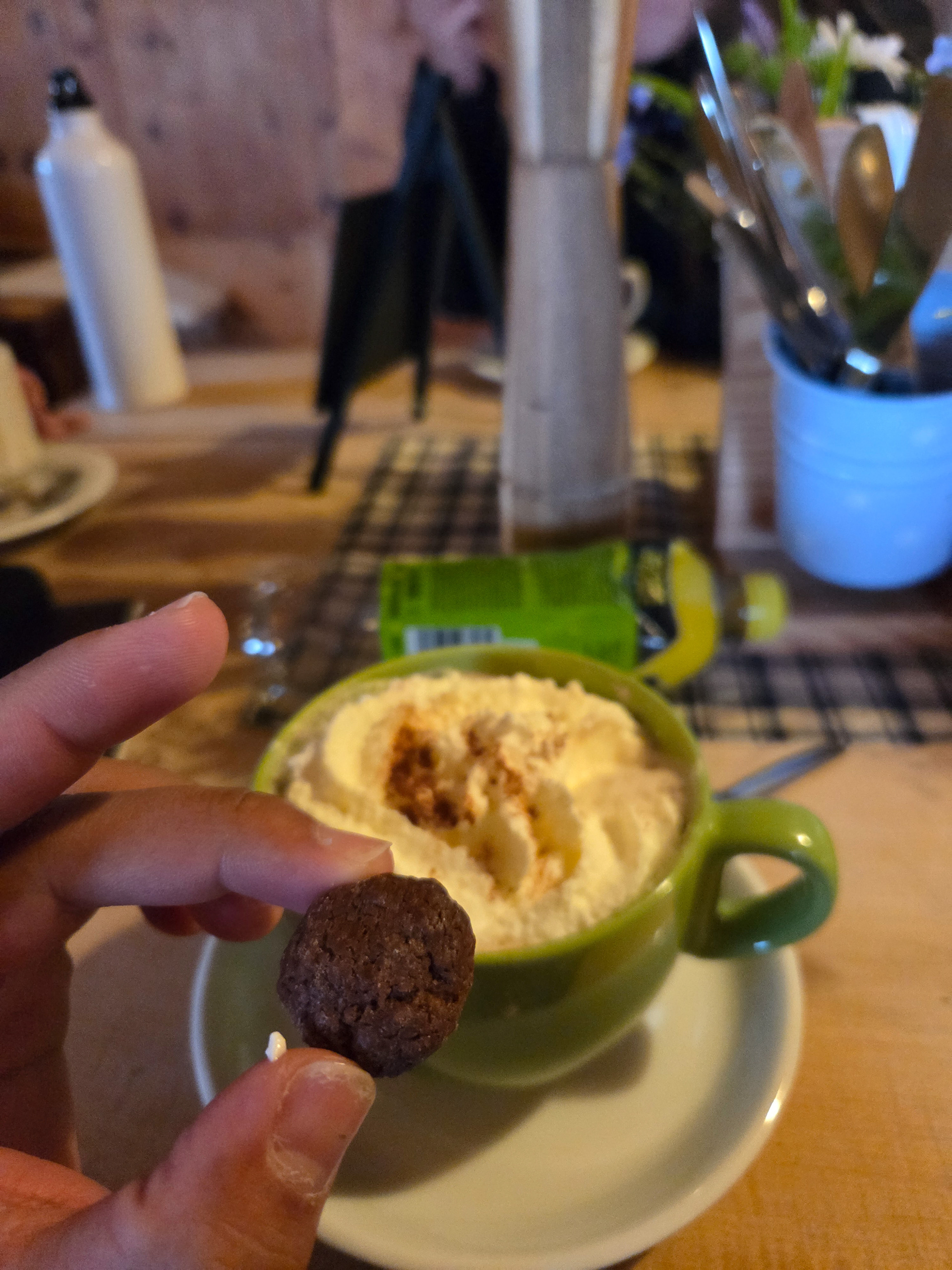
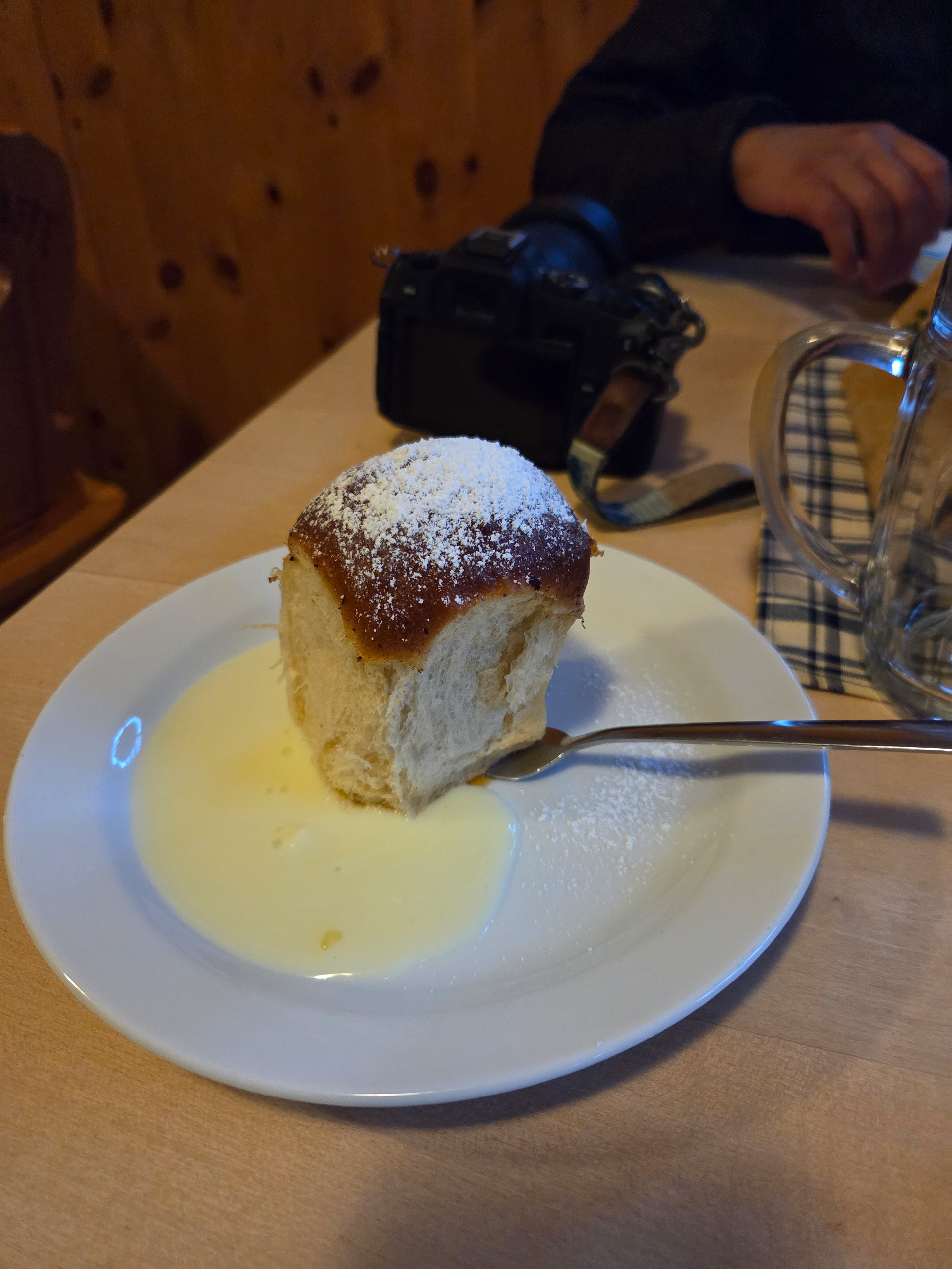
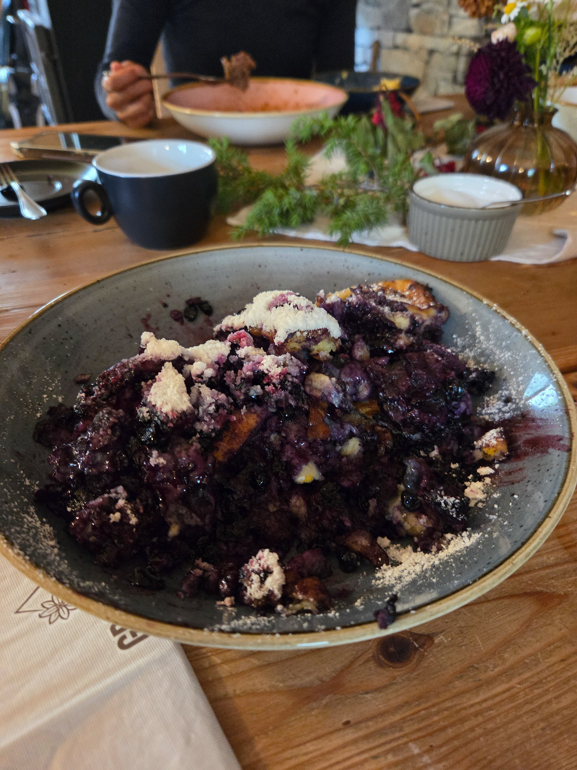
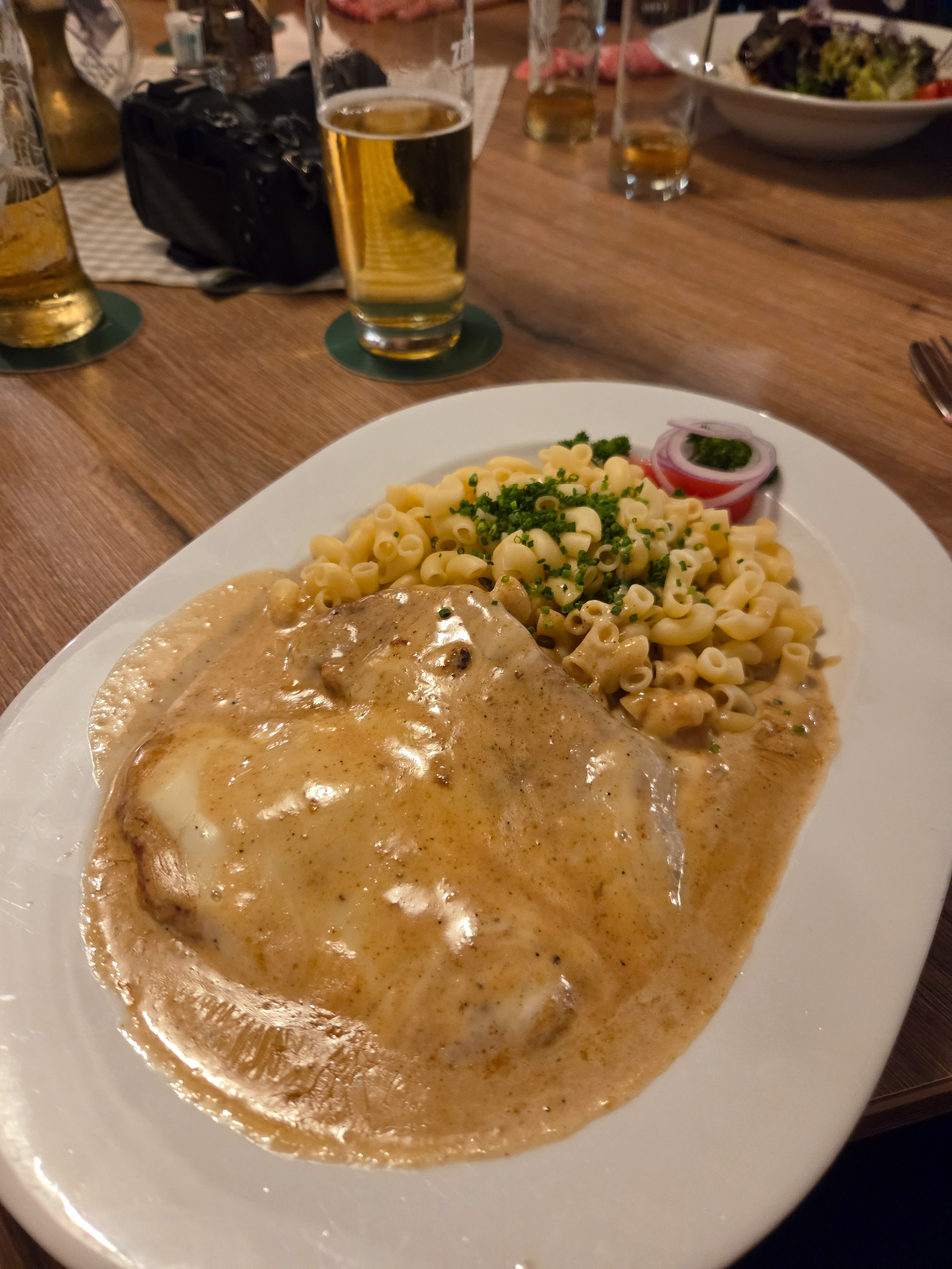
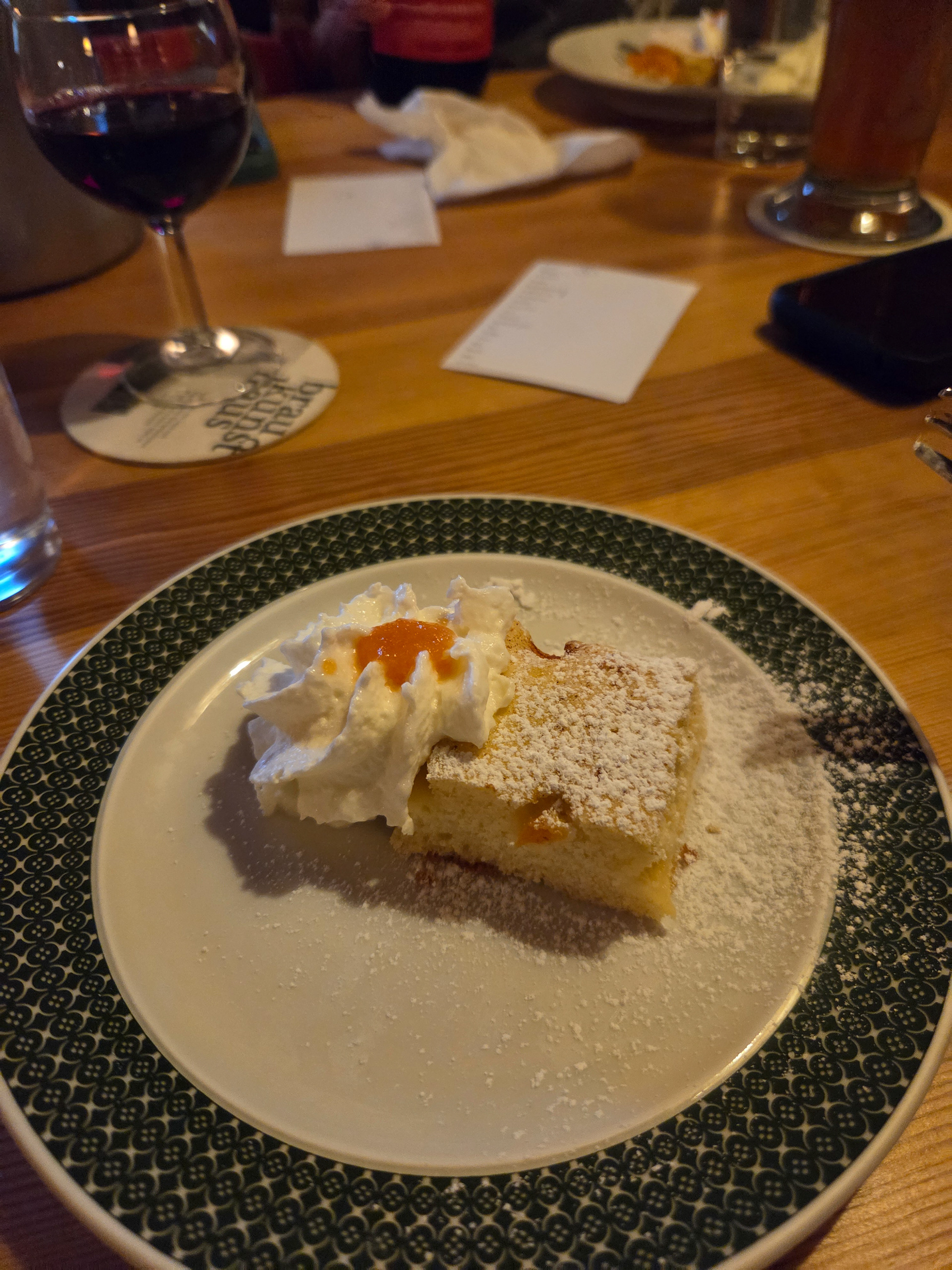
Our first Kaiserschmarrn! It is a pancake type snack/dessert that is fluffy and sometimes filled with fruit (blueberries is common) and also dipped in a sauce (apple is common). This is one of our favorite Austrian dishes. Great to share with friends but also finishable by yourself.
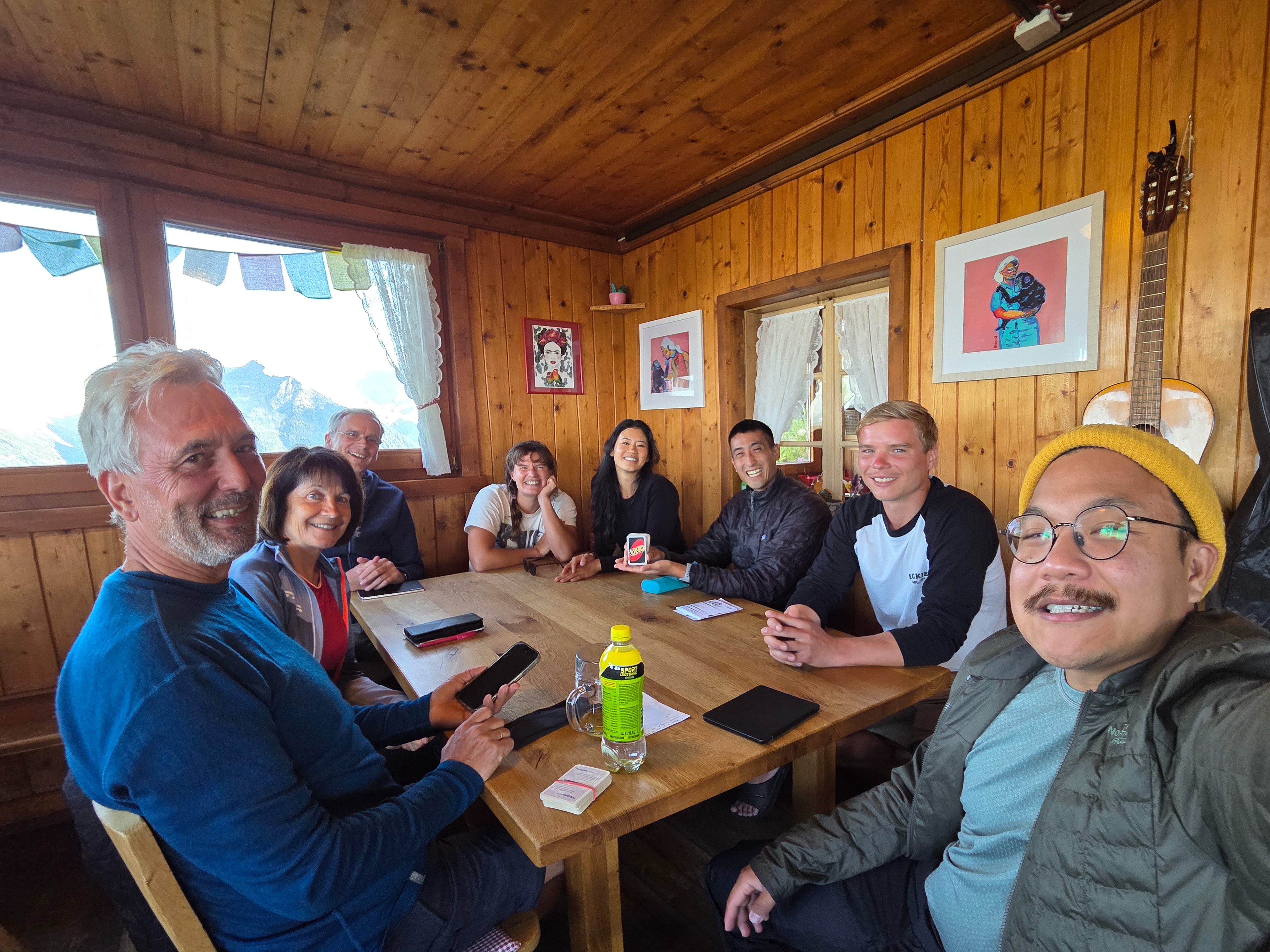
Another dinner, another crew! L-R Me, Eva, Ciarra (Dutch), Dennis and Parents (Czech), Stefan (Dutch), Mettias (German), Dan, Einny. Before dinner we played some texas hold 'em poker and then after dinner, Dennis performed a magic trick for the table!
Still a little gloomy outside but we have to start hiking soon!
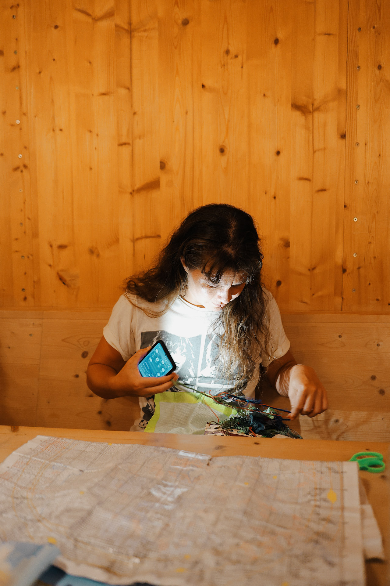
Most of us brought some sort of past time/hobby: Morgan brought her embroidery kit!
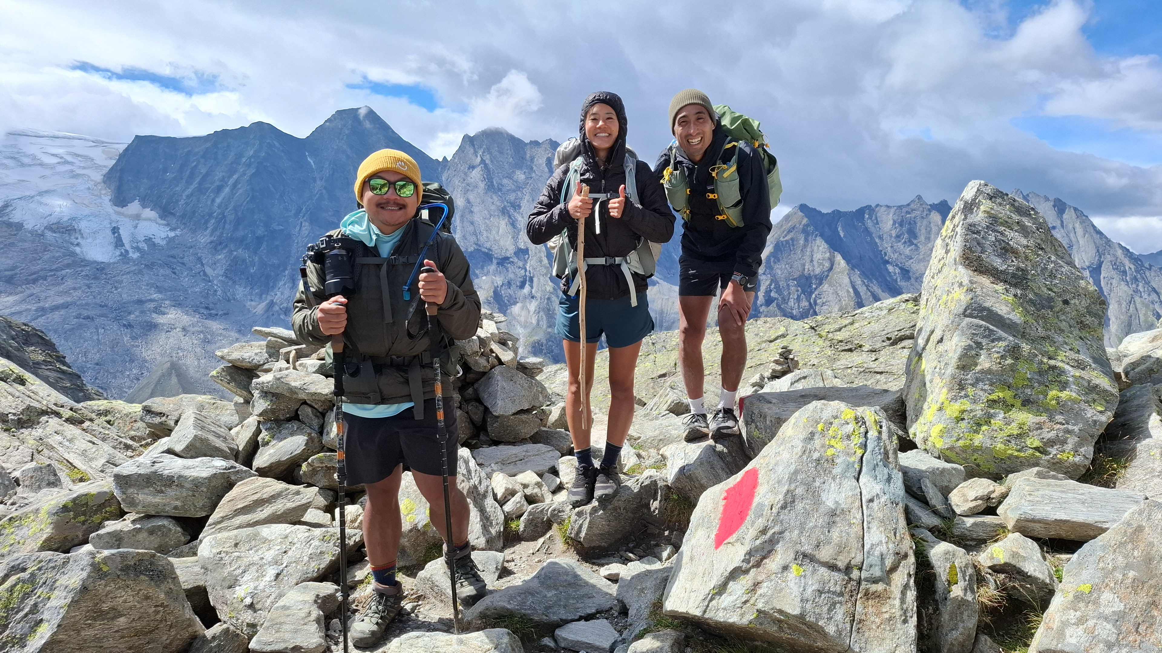
Gang pic with the sign!
This section of the trail leads along the Schlegeis reservoir on a road southeast toward Furtschaglboden . Descent 600 m, ascent 500 m, walking time approximately 4 hours. -Wiki
Okay some slivers of light. You can see the mouths of 3 different valleys from here. Also... clouds are below us! Also, we found out from the hut staff that there might be thunderstorms the next day...
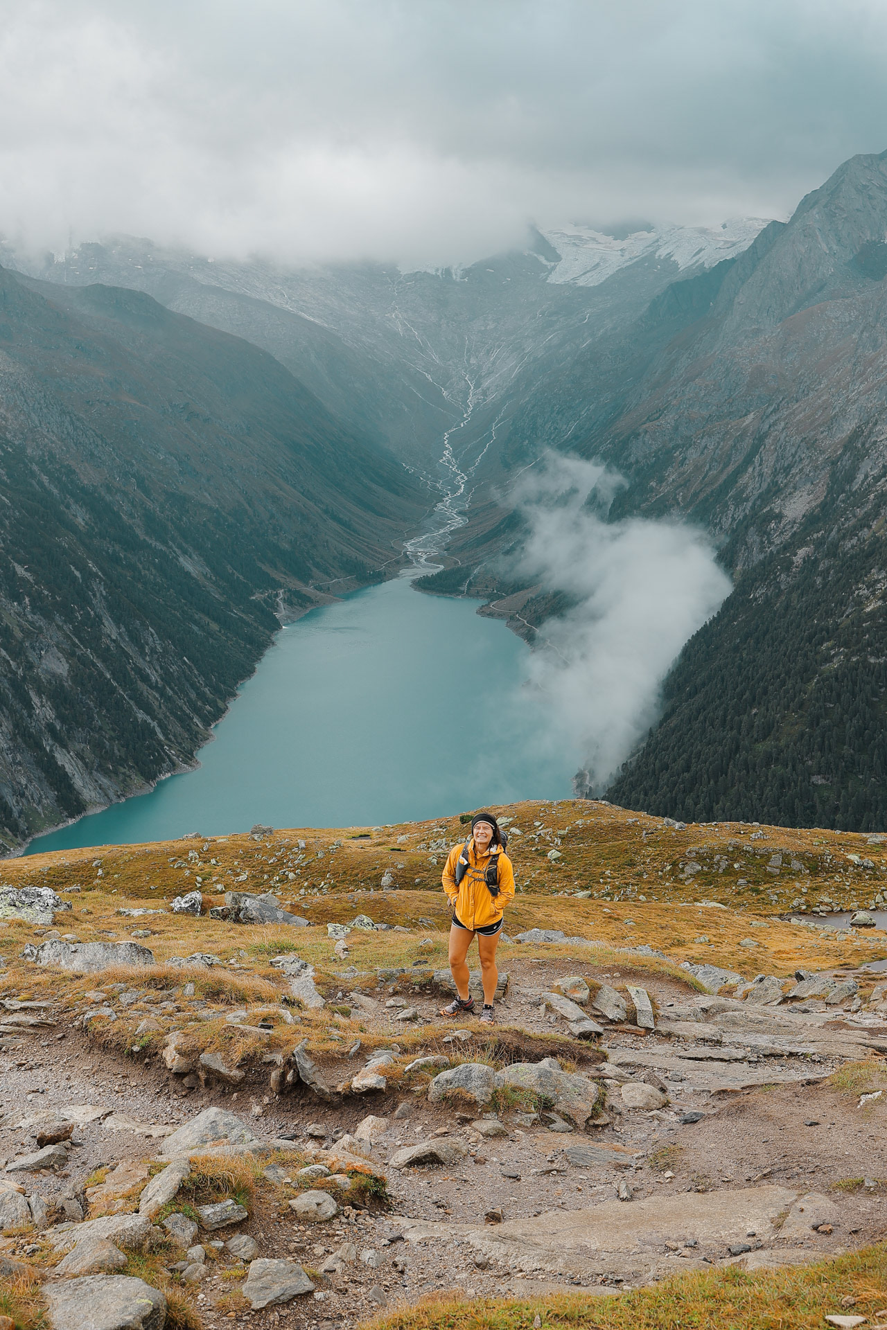
Morgan and Schlegeisspeicher . The hike descended from Olpererhütte to the dam and ran along the right side of the lake and then a little bit up on the left side of the stream in the back of the valley, then ascending up from there.
Rest of the crew joins!
Slowly but surely heading down from Olpererhutte. This hike is all descent and you hike by a waterfall (pictured later) the whole time. We passed a lot of people who are day-hiking to the hut (probably to have some beer and Kaiserschmarrn).
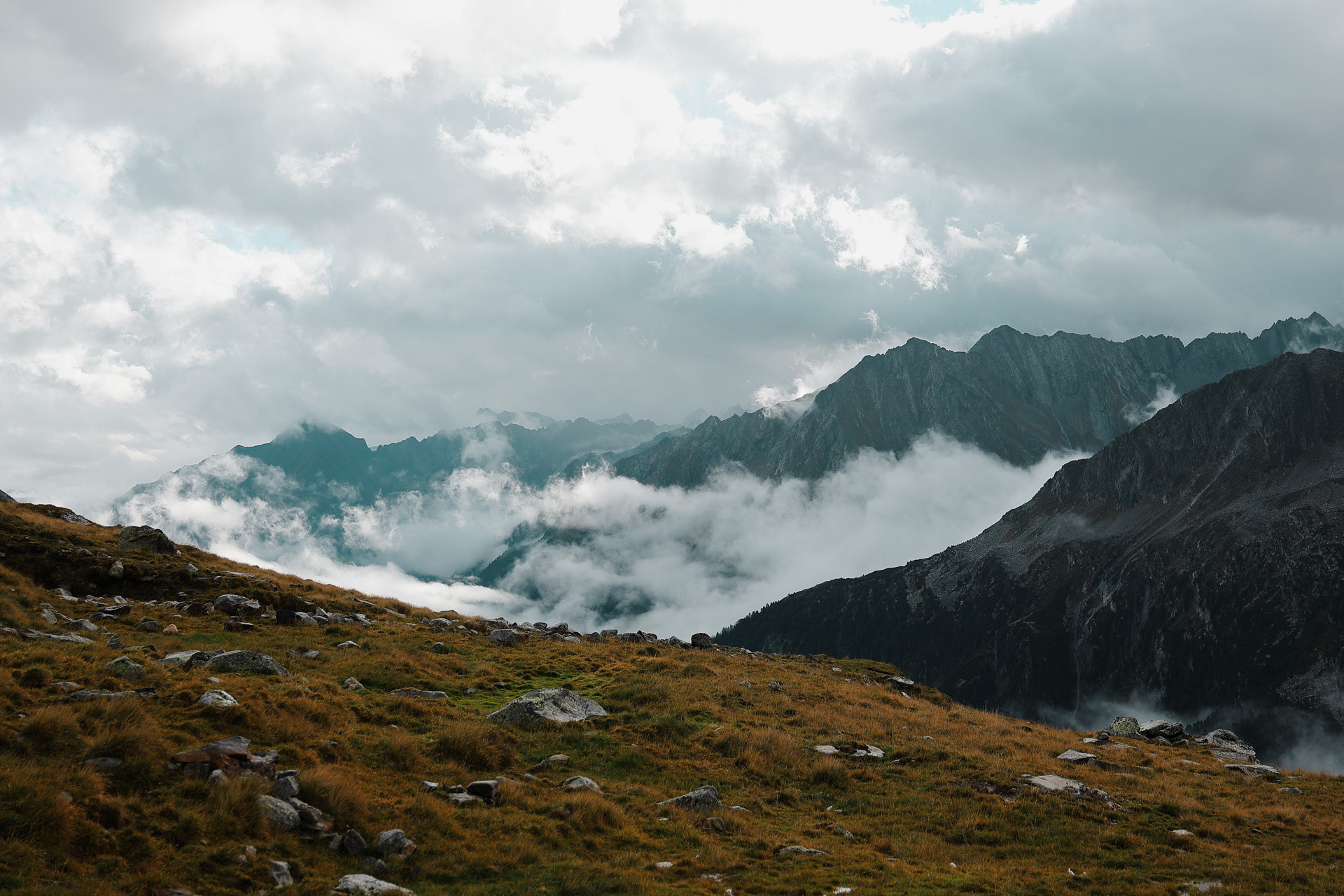
Occasional break in the clouds bring drama.
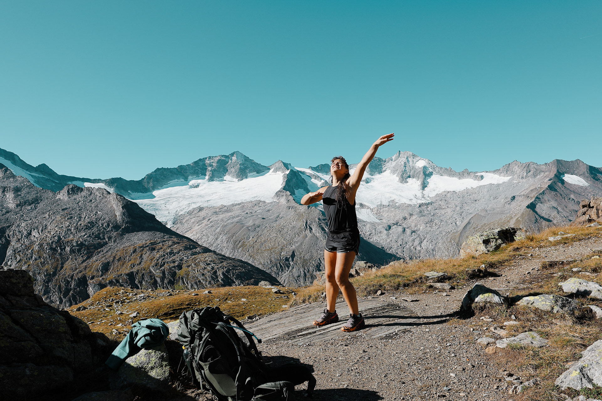
Great photos are sometimes luck, especially for travel photography. Luck is when preparation and opportunity intersect. Here I was hiking behind these two with my camera (preparation) when suddenly a break in the clouds made this crazy amazing lighting in the background (opportunity). Immediately, I asked these Eva and Einny to turn around and I clicked away. The light went away moments later. Another one of my favorite shots on this trip!
The waterfall we were hiking by! There are portions of the trail where the trail takes us right beside the waterfall. It was around this time that someone floated an idea: Since there could be hike-canceling thunderstorms looming tomorrow, should we just hike from Olpererhutte to Berliner Hutte today? If we were going to get stuck at a hut, the thinking was, we might as well go to the next and likely better one.
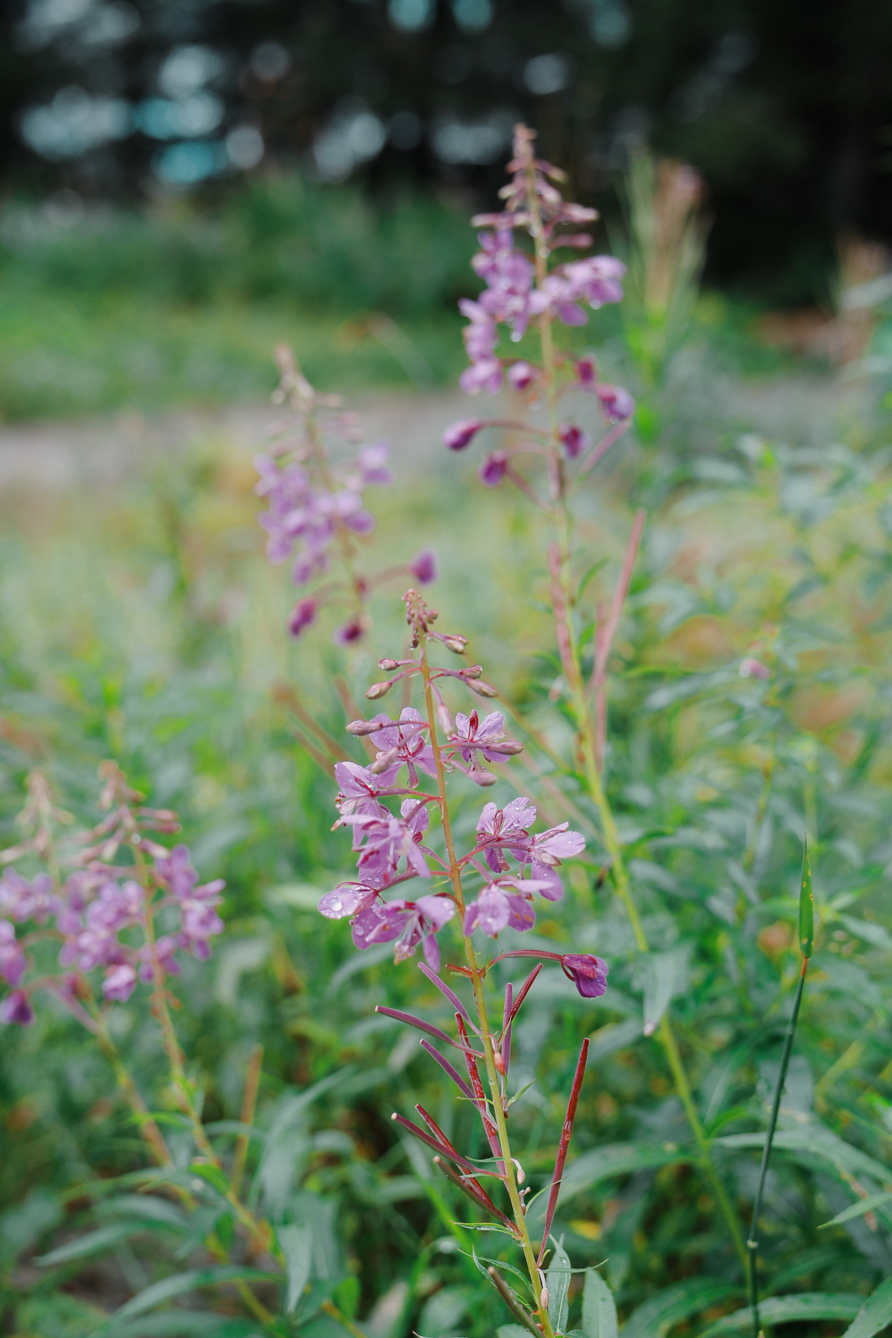
At the lake: so apparently this plant that we've seen all around is Fireweed (Chamaenerion angustifolium) and it is edible and can be made into tea!
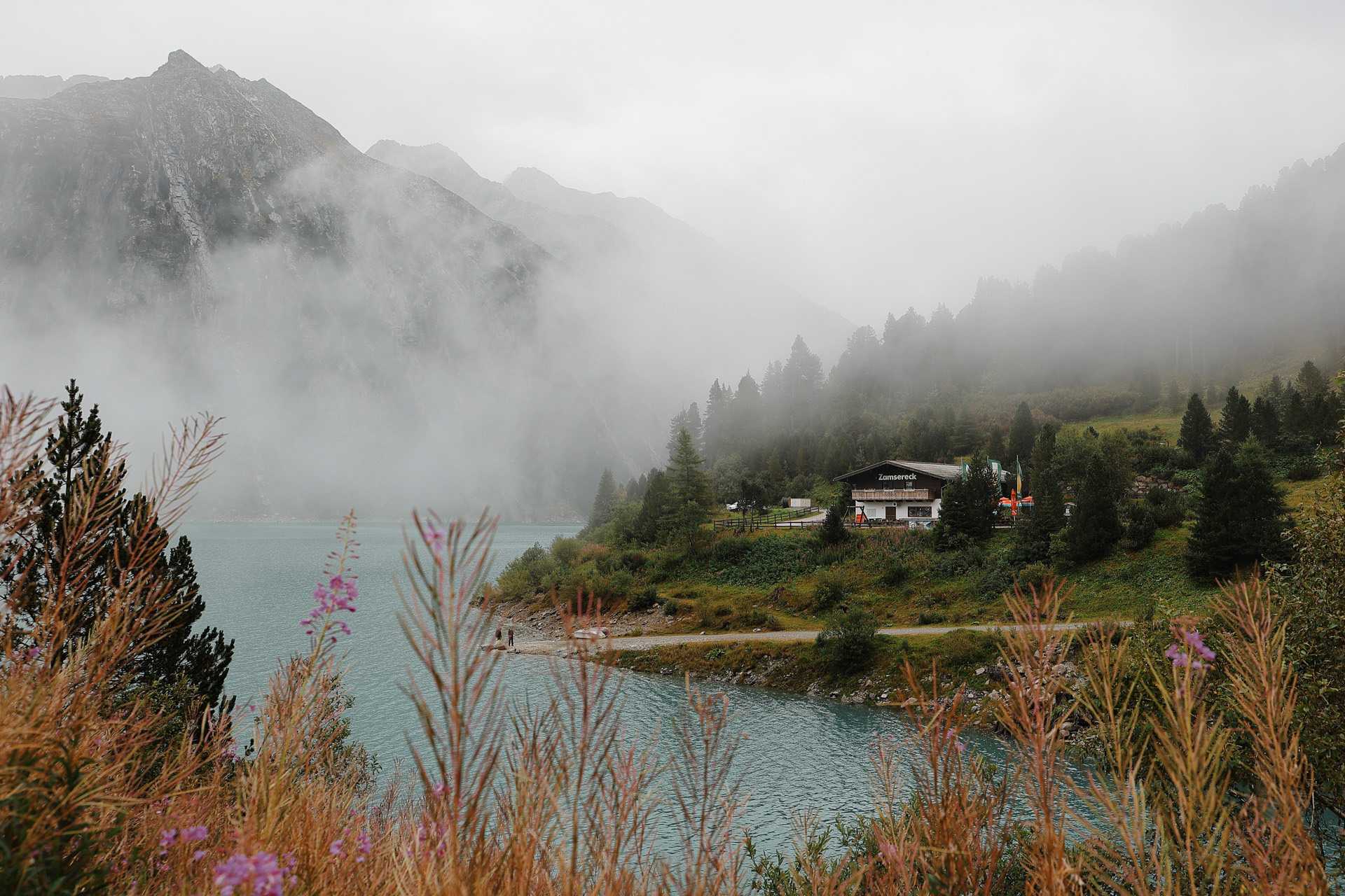
Fog and clouds in the back, a couple at the dock, fireweed in the foreground, and Zamsereck, a restaurant in the middle. I was surprised that there were not more people at the Schlegeisspeicher since the bus was so packed on Day 1 but perhaps the rain and clouds dissuaded them. We had no choice though.
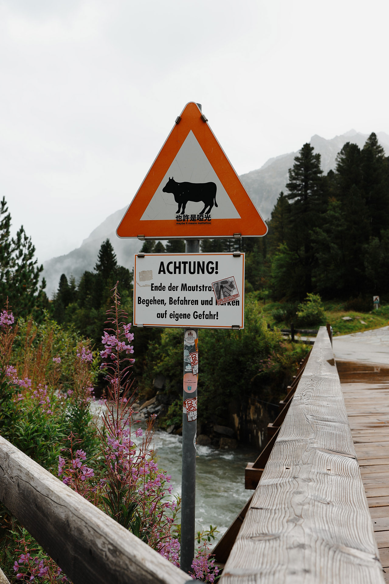
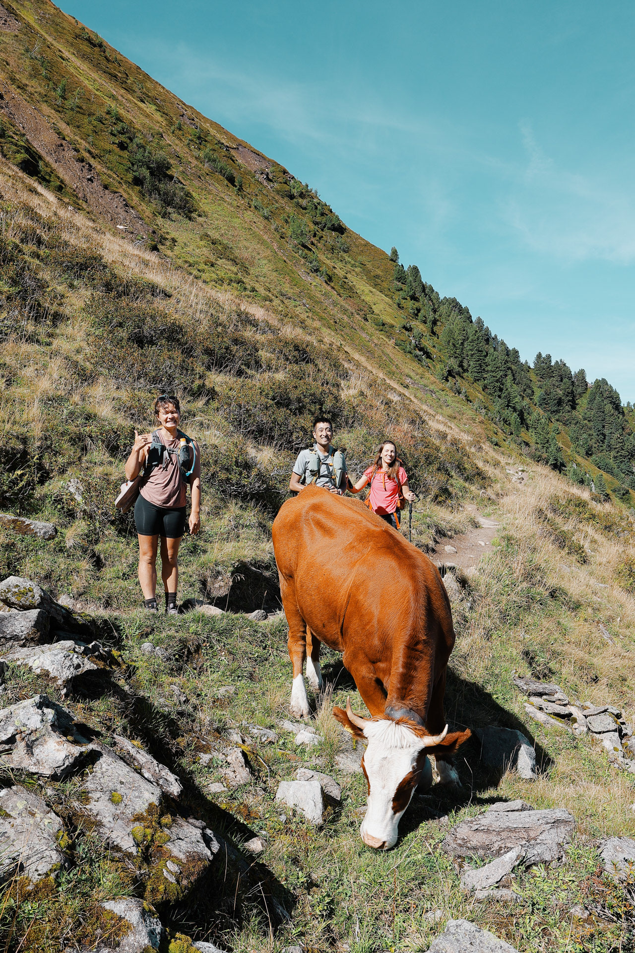
Cow crossing! A tease but I promise more cows are coming.
Picnic spot by the lake. The fog was going in and out
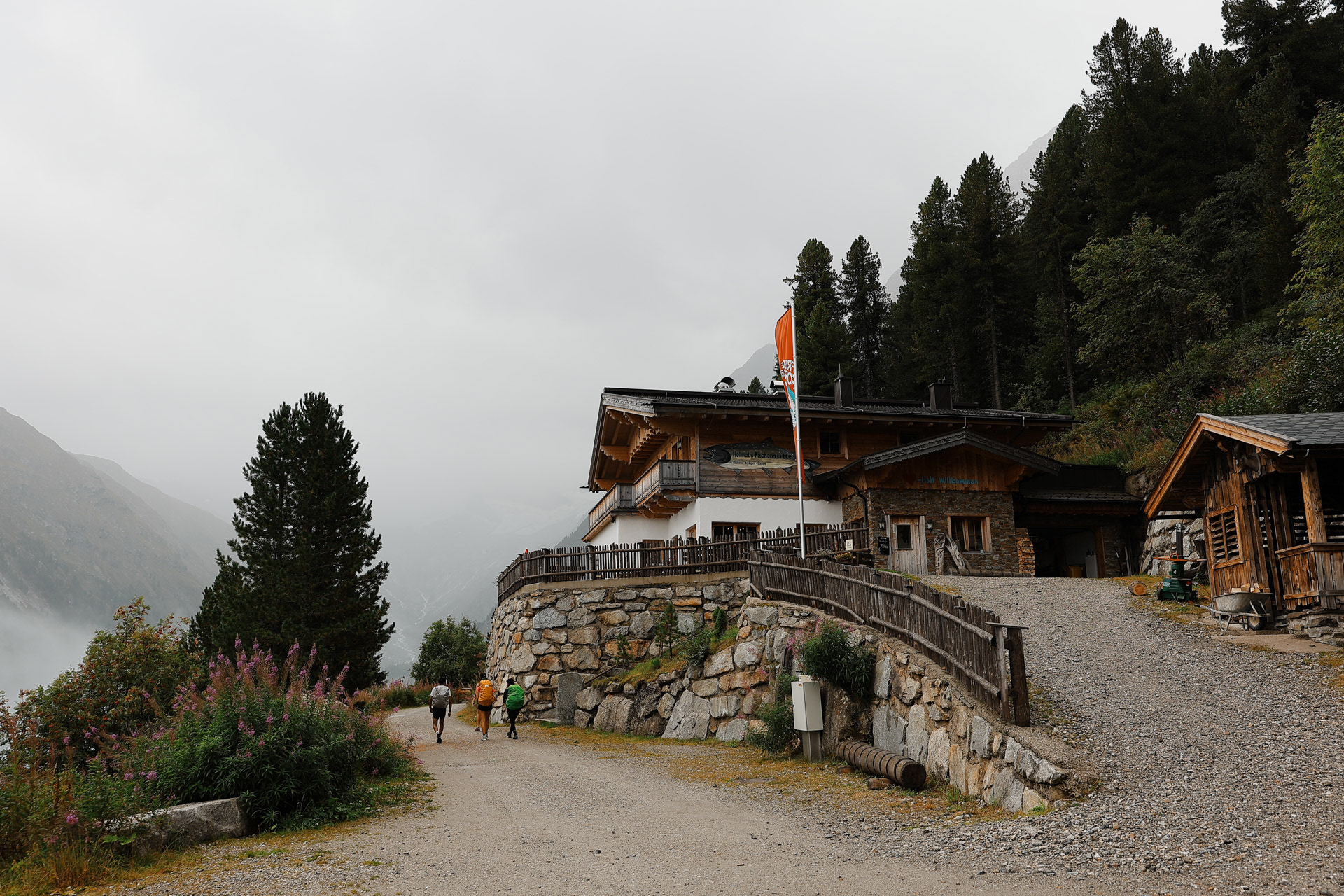
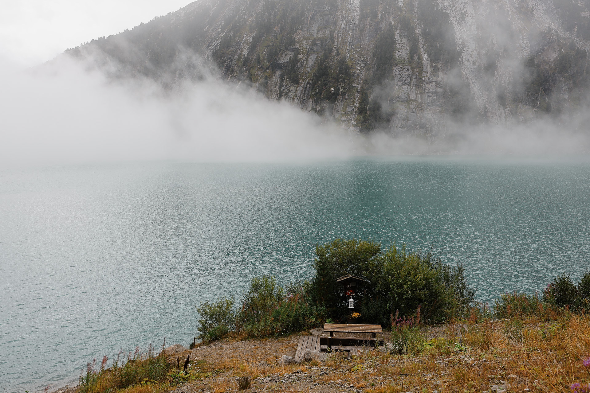
Helmut’s Fischerhütte, a hut by the lake.
At the end of the Schlegeisspeicher, we cross the stream (through a rock/concrete bridge). Olpererhutte is a speck (pixel in this sense) in the background.
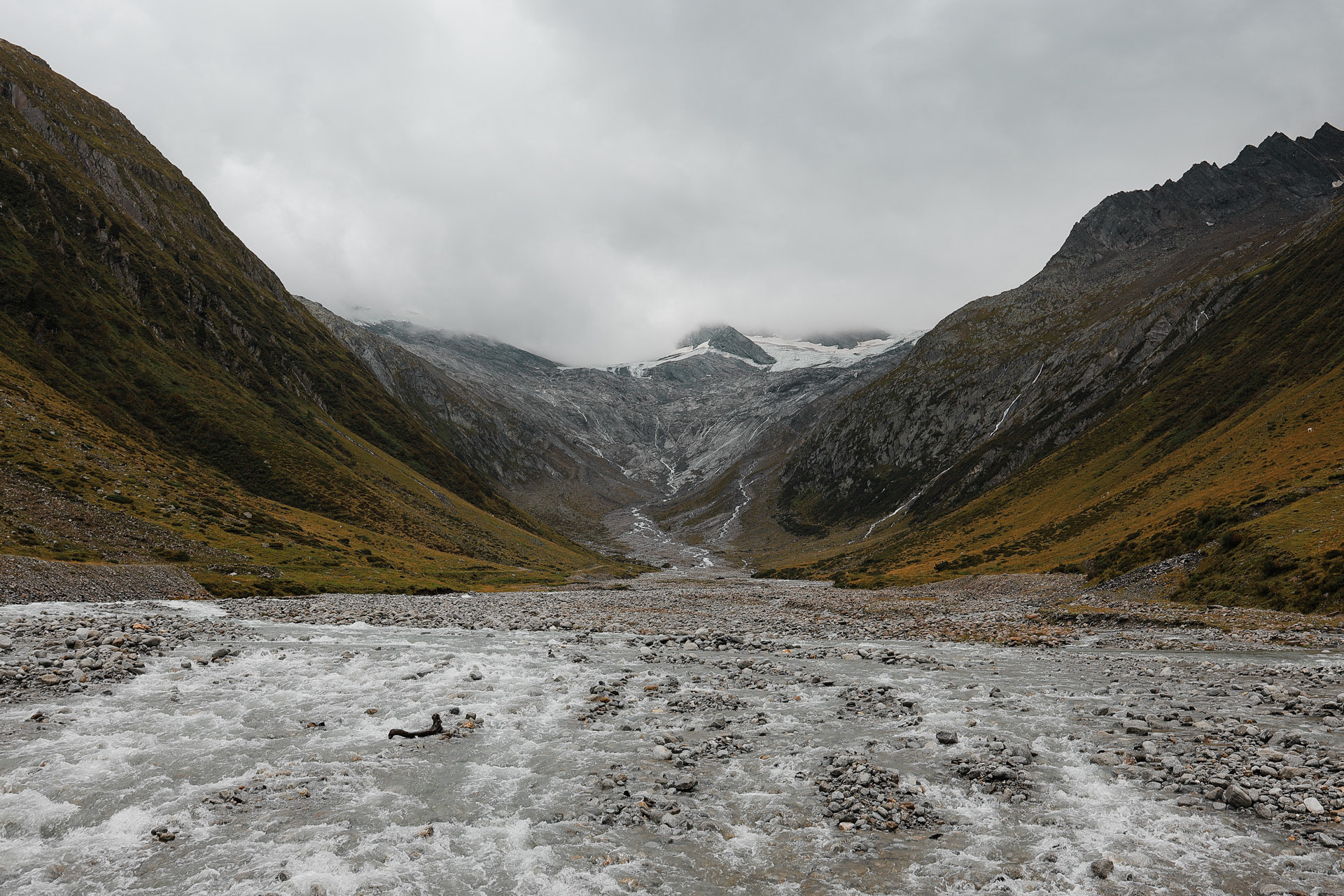
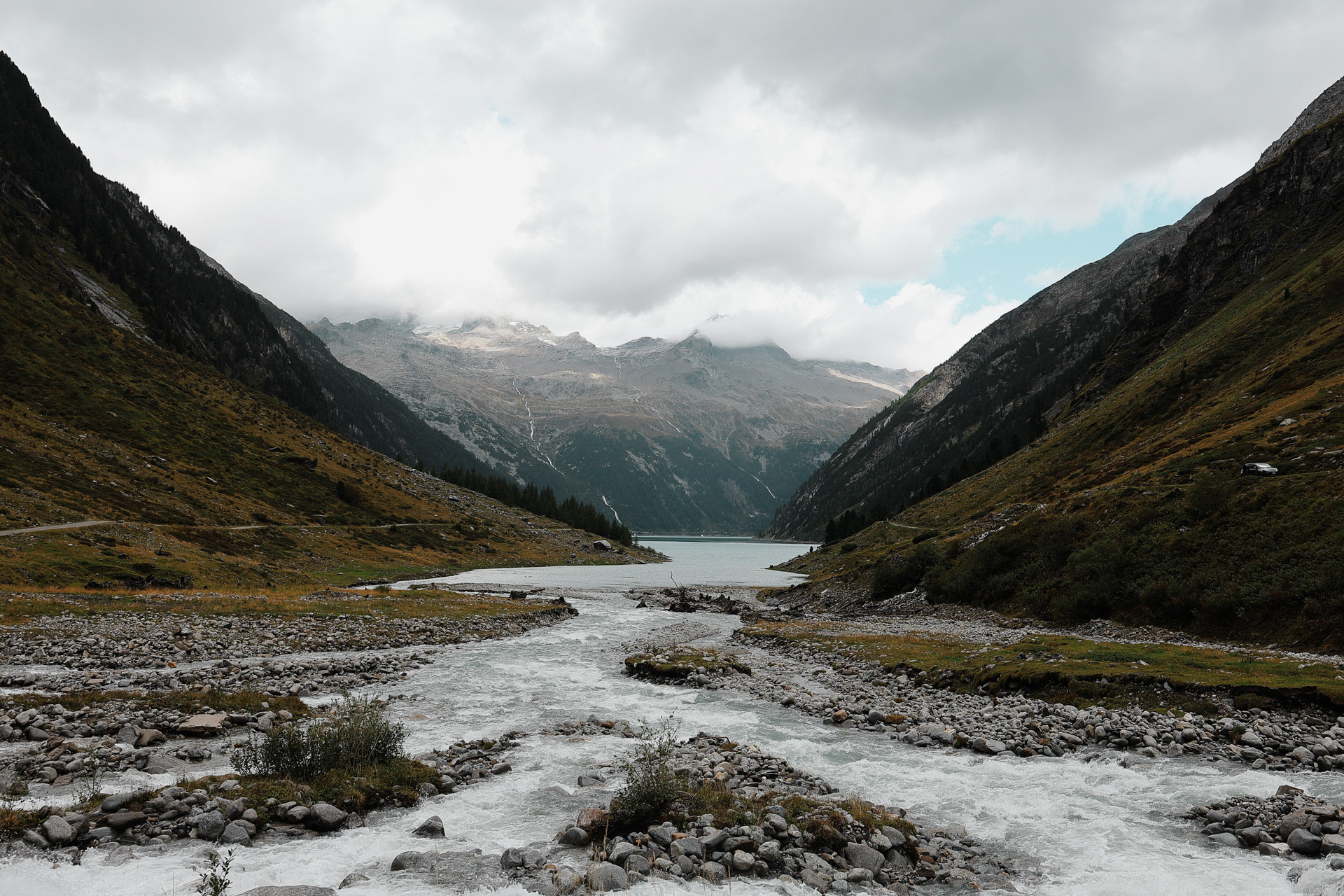
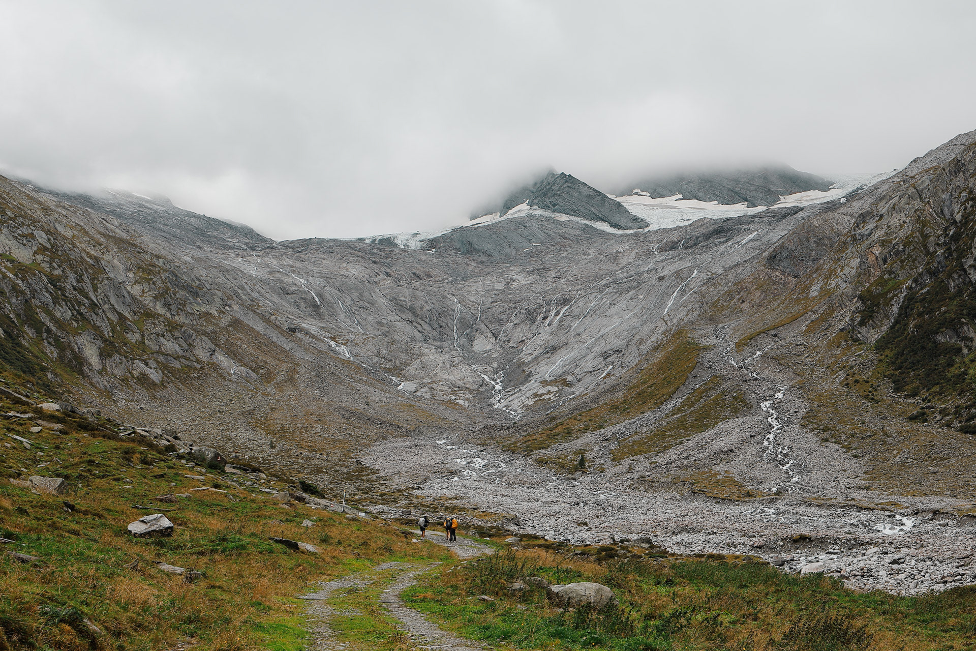
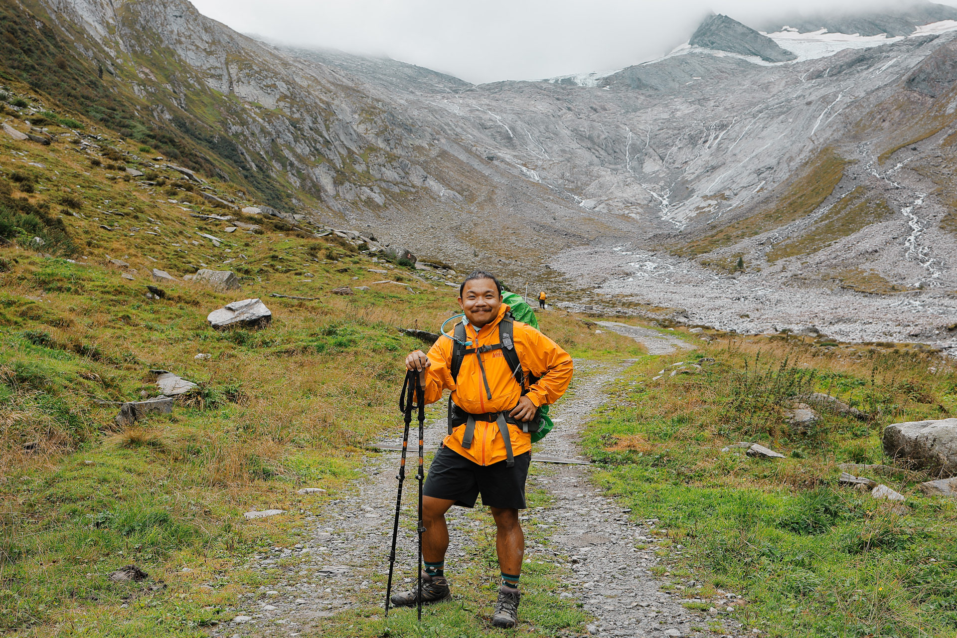
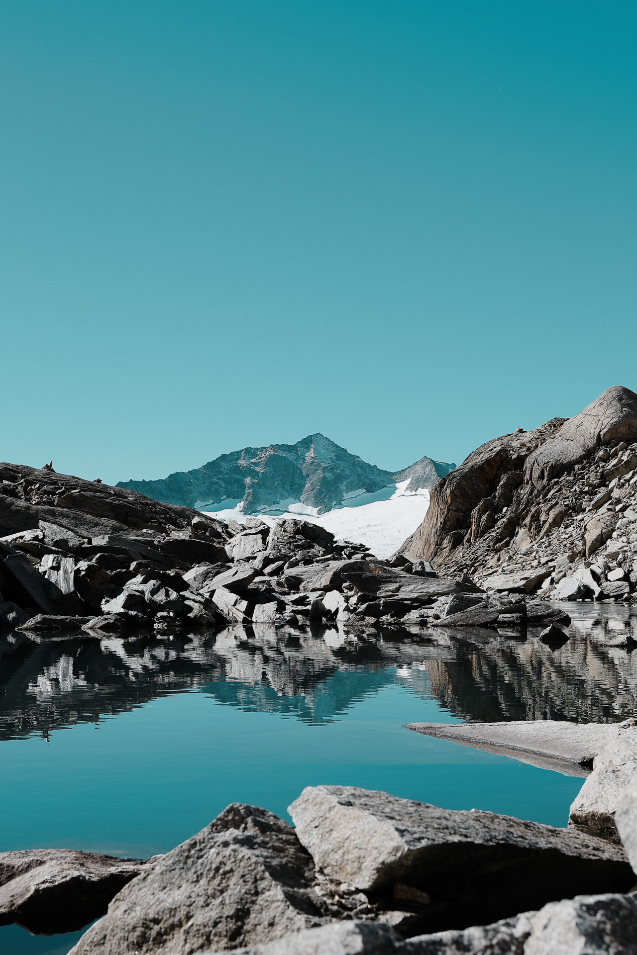
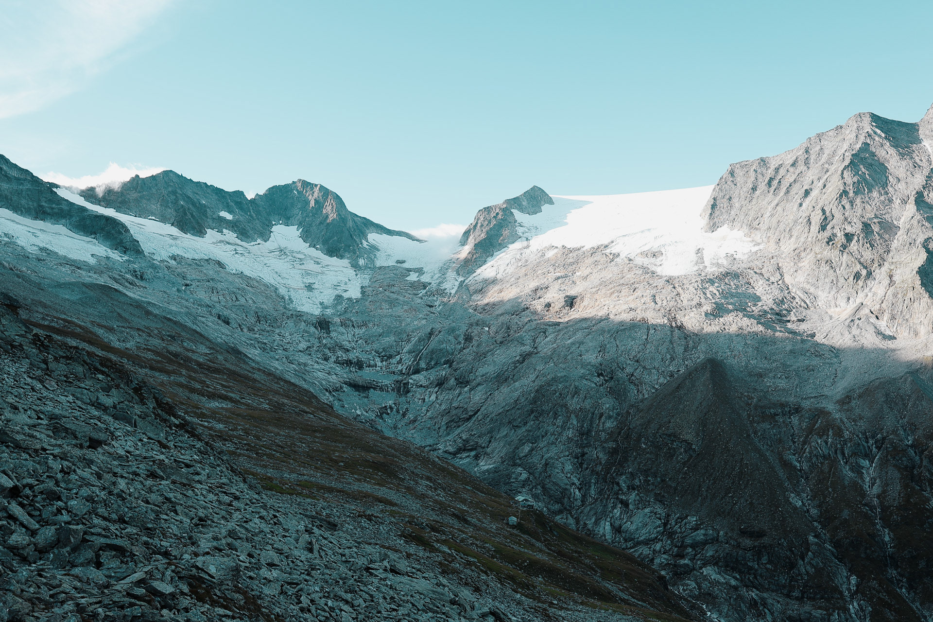
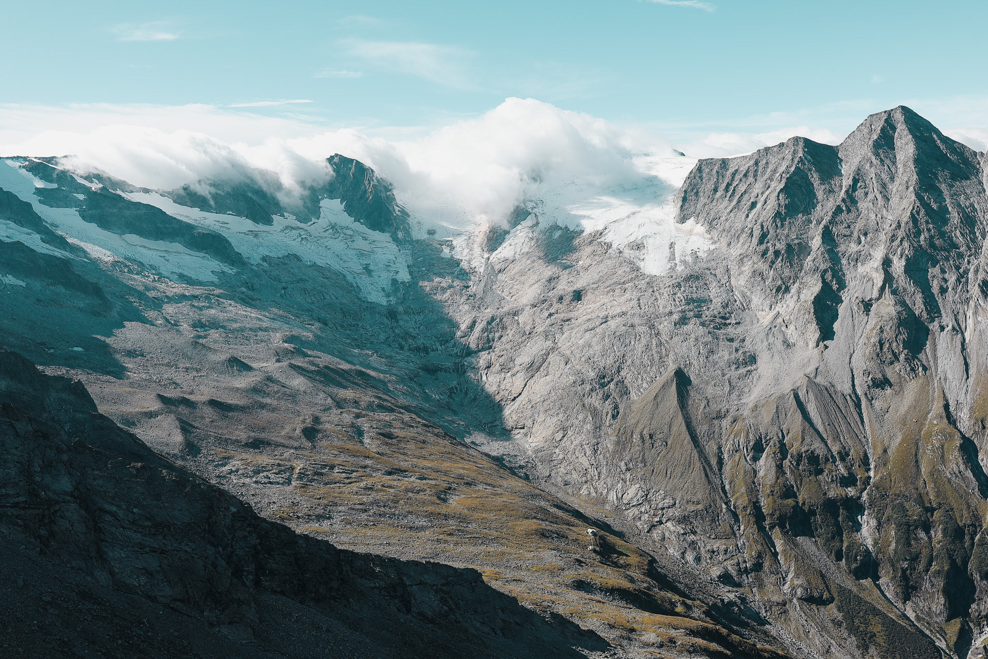
In the back of the valley, a glacier hides in the clouds. This is the first glacier we saw up close on the trip. The path continues on the left side of the valley.
The path to the back of the valley. What people won't tell you is how much cow dung is on the roads.
On the bridge that crossed the valley, I asked if it was hypothetically possible for someone to swim through the concrete pipes... and everyone's like "no Francis!" and I'm like "I'm only wondering if its possible!".
This picture makes me think of New Zealand (though I have not been), with the dozens of small waterfalls and the cows in dotting the landscape.
Oh just another waterfall/stream we had to cross, no big deal.
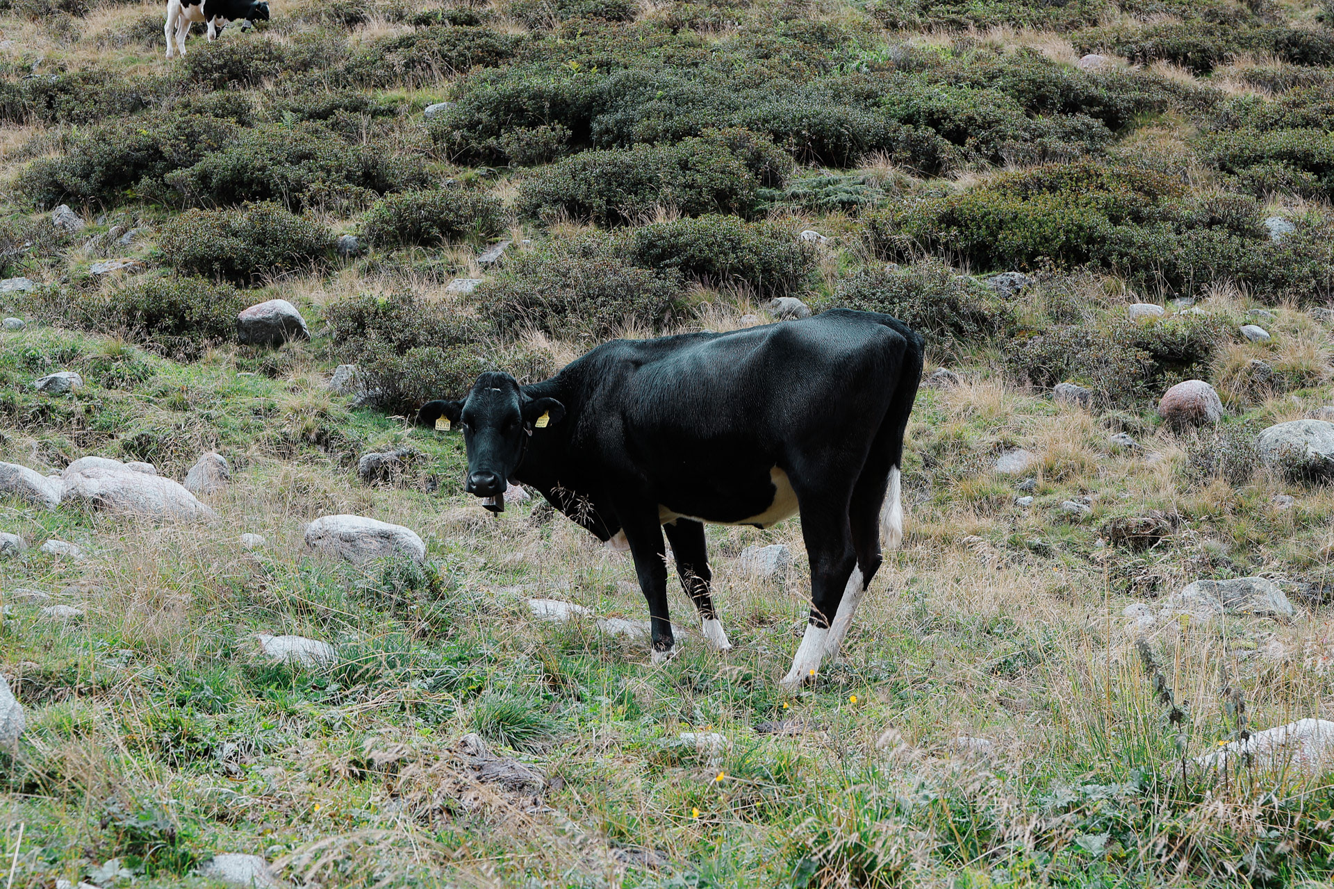
This one cooperated and modeled for me! As you can see from the previous pictures, he likes to do the head turn! Another fav of mine from this trip.
The others were not as interested in the KÜHE as I was...
A rare pic of me, thanks Einny!
We start the ascent to Furtschaglhaus. The trail-people (not sure what they’re called) have arranged/fashioned some rocks into stairs, and of course a flag trail marker.
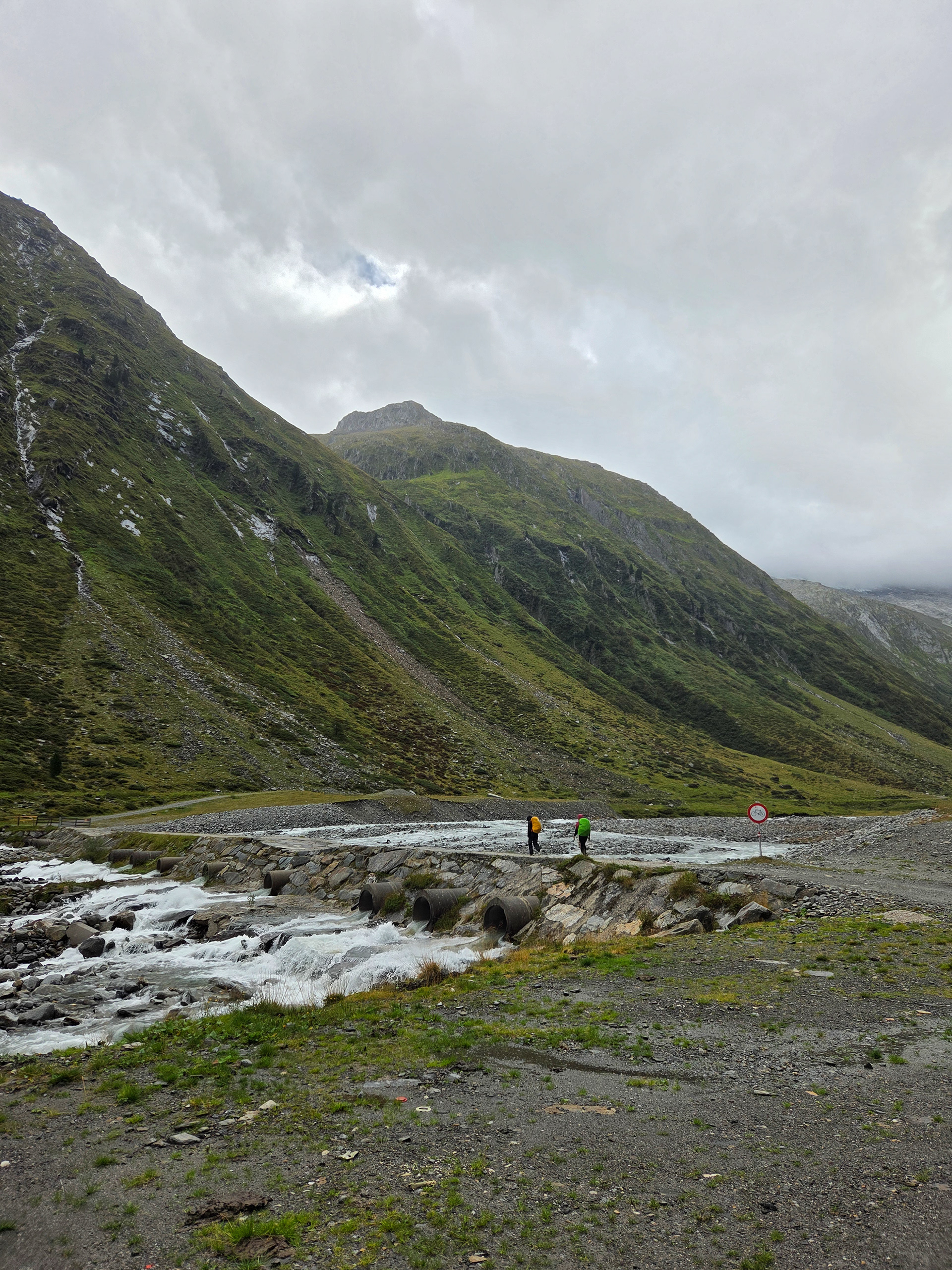
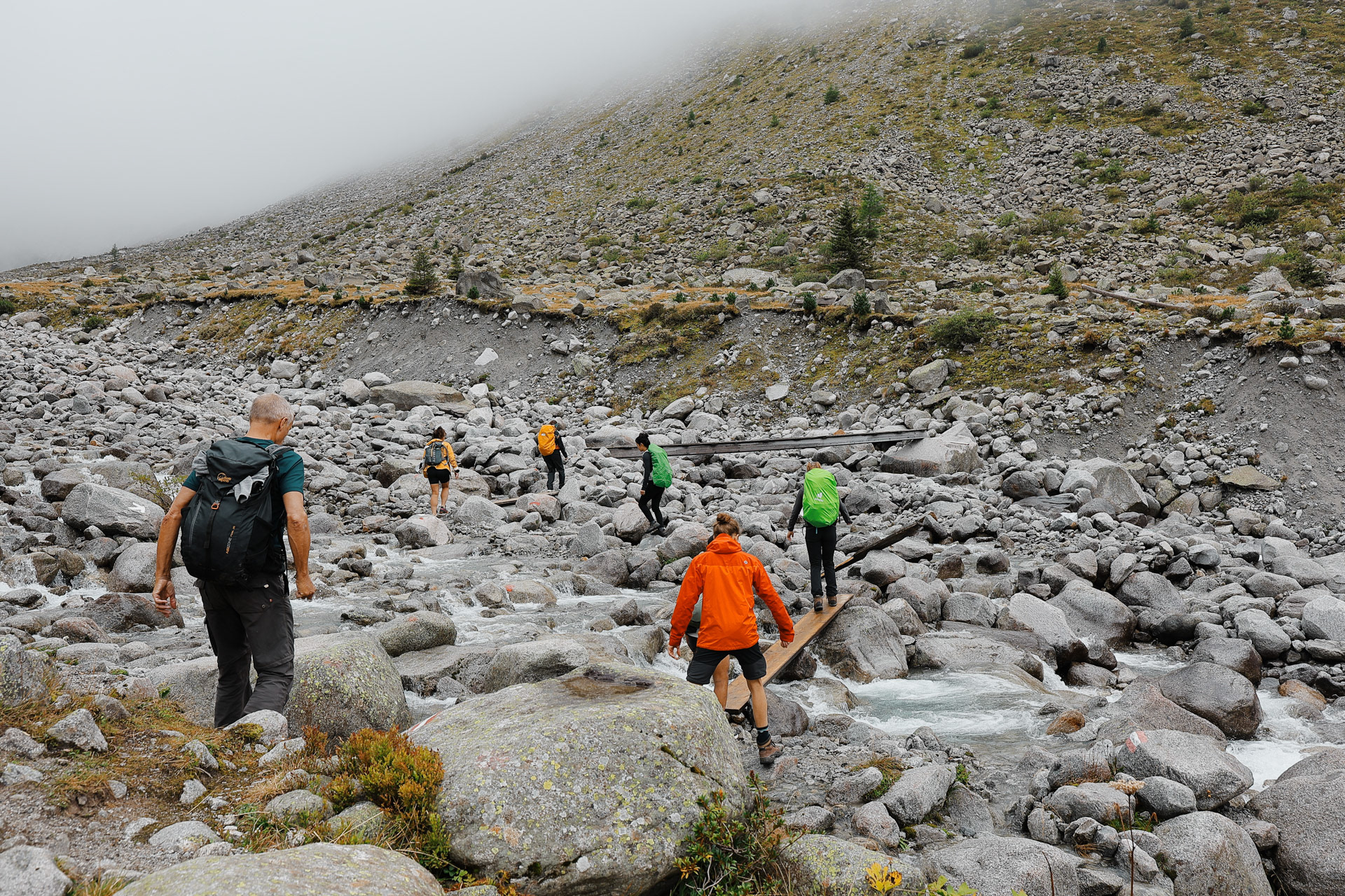
Dan explained how to cross rushing streams safely:Before entering the water, you should loosen pack straps. That way, in case you slip and fall you can easily drop the pack so it doesn't pull you along with it.
The hut is finally in view! With a waterfall to the right.
This hut can be supplied by cable, as opposed to other huts that can only be supplied by helicopter.
A picture of me with the wasserfall. PC: Einny
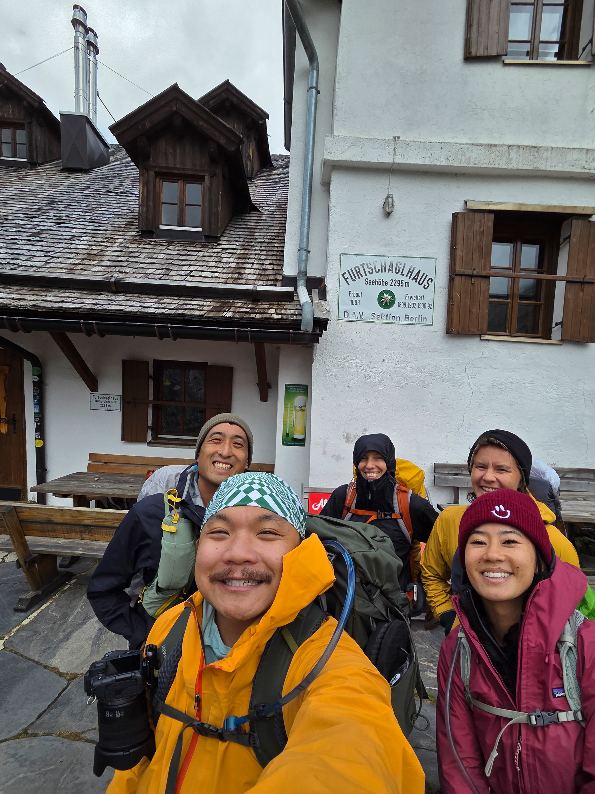
Hut number 4: Furtschaglhaus! This is the hut that we had the hardest time to spell/remember. The debate continues: to stay or head on to the next one?
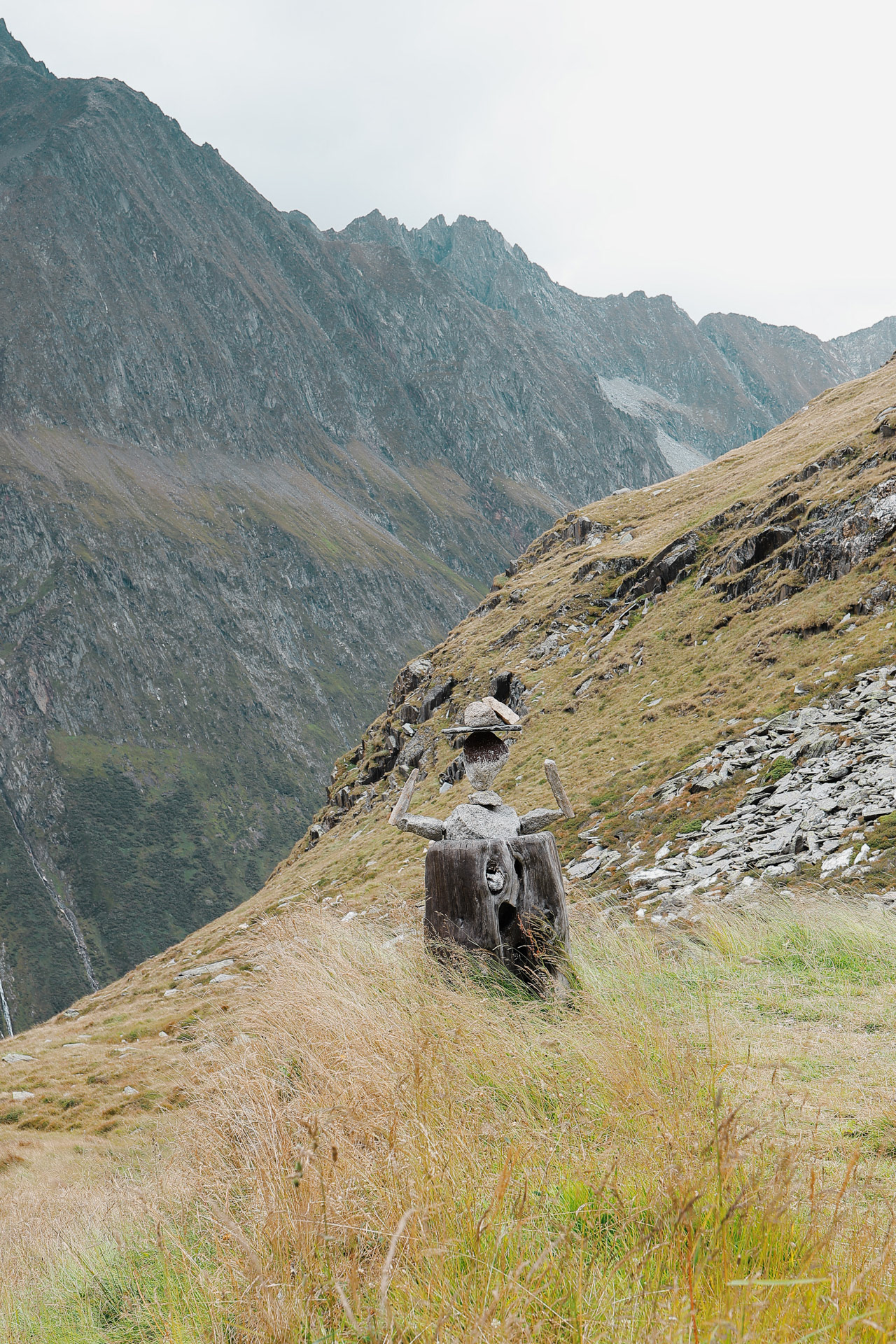
Scarecrow? Kind of reminds me of Don Quixote for some reason.
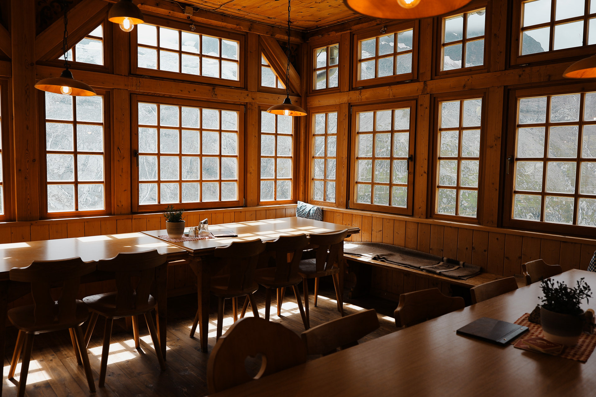
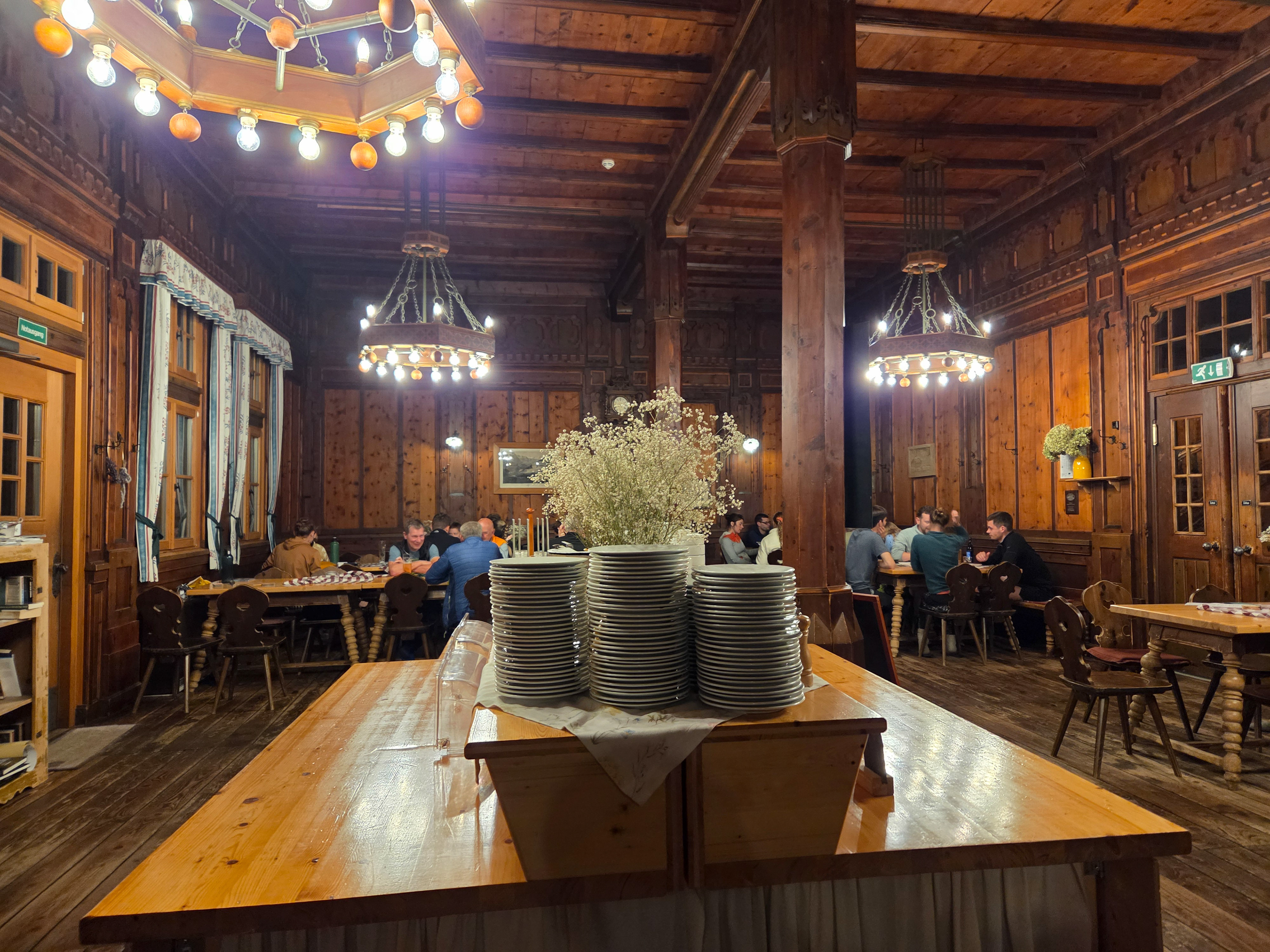
Their dining room is nice!
Okay I think I'm getting better at these selfies! These are taken with the 0.5x rear camera.
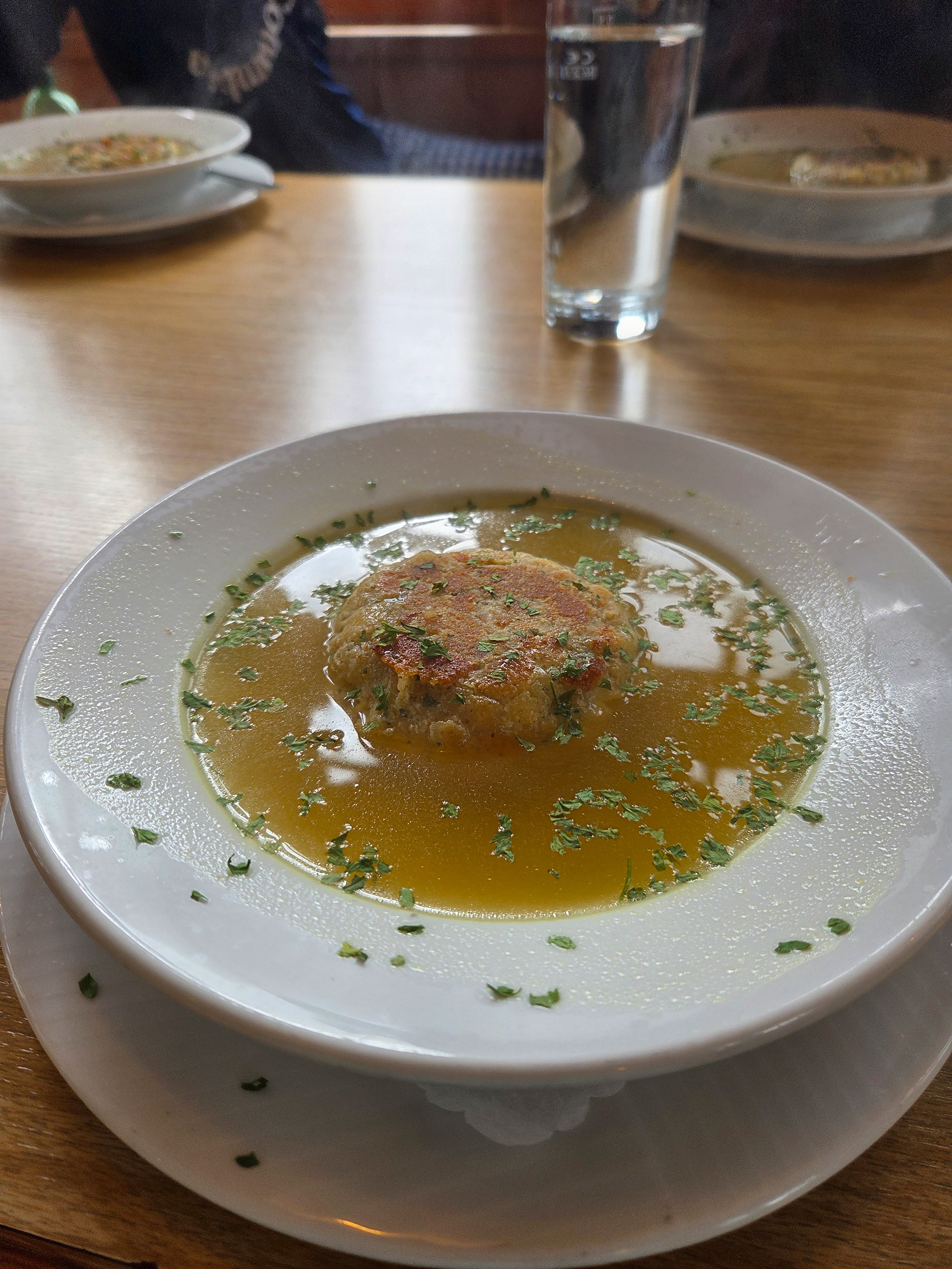
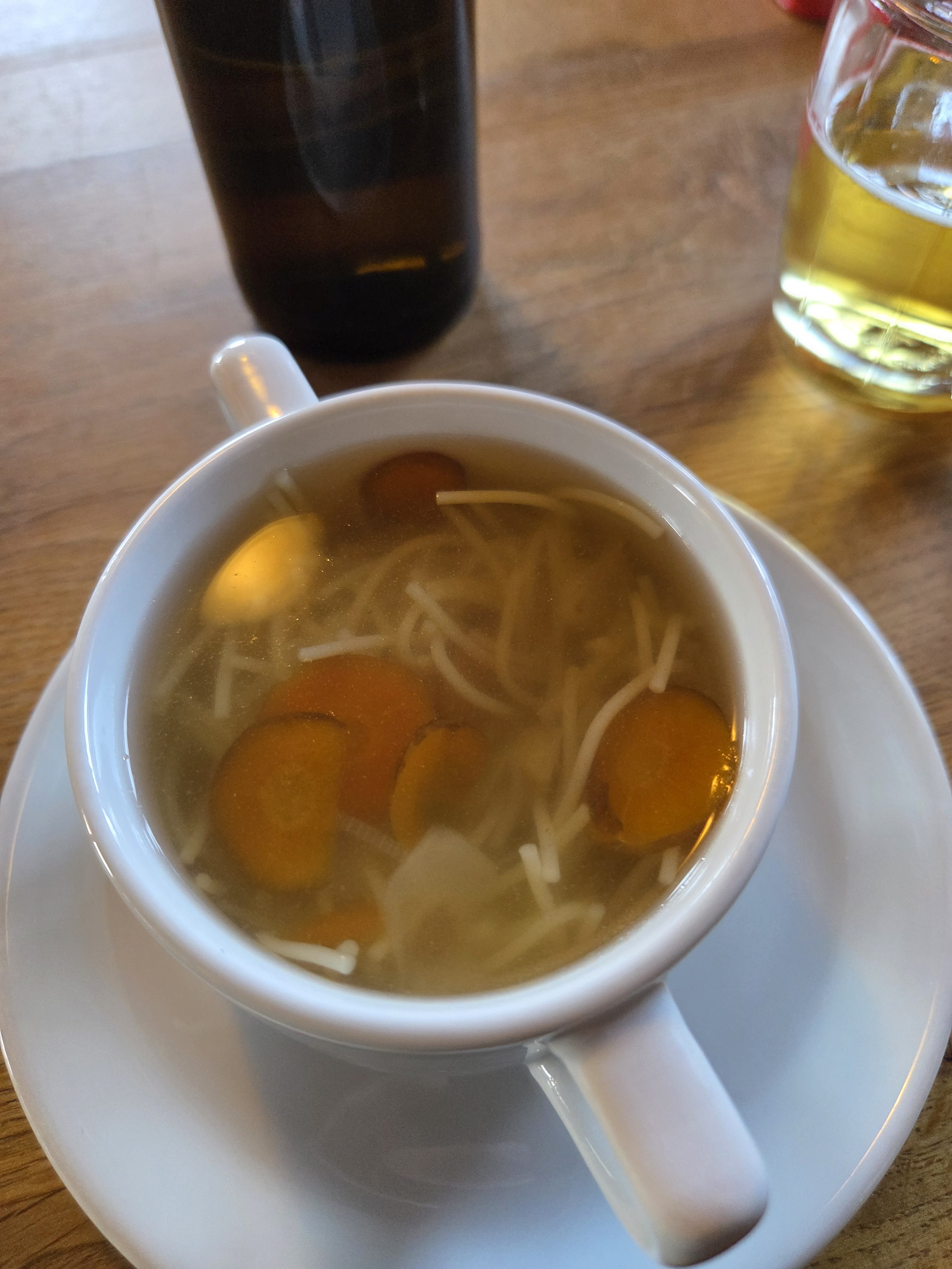
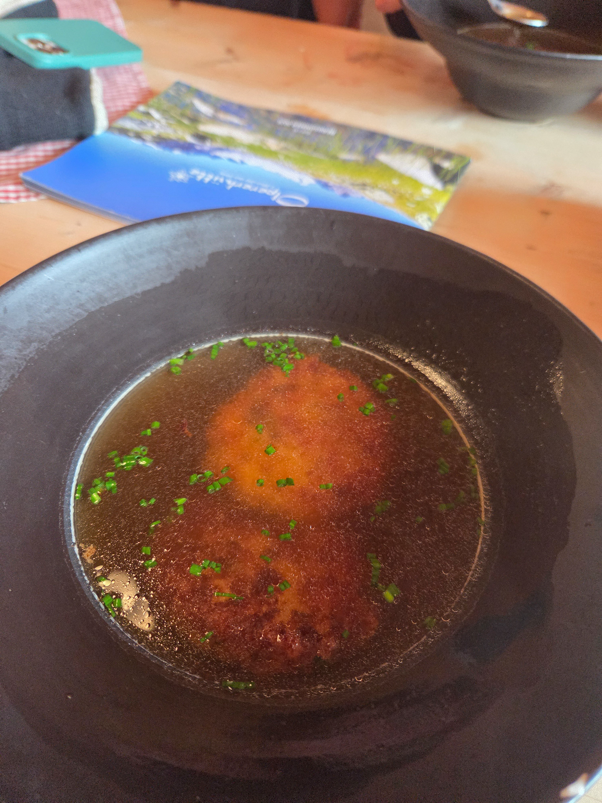
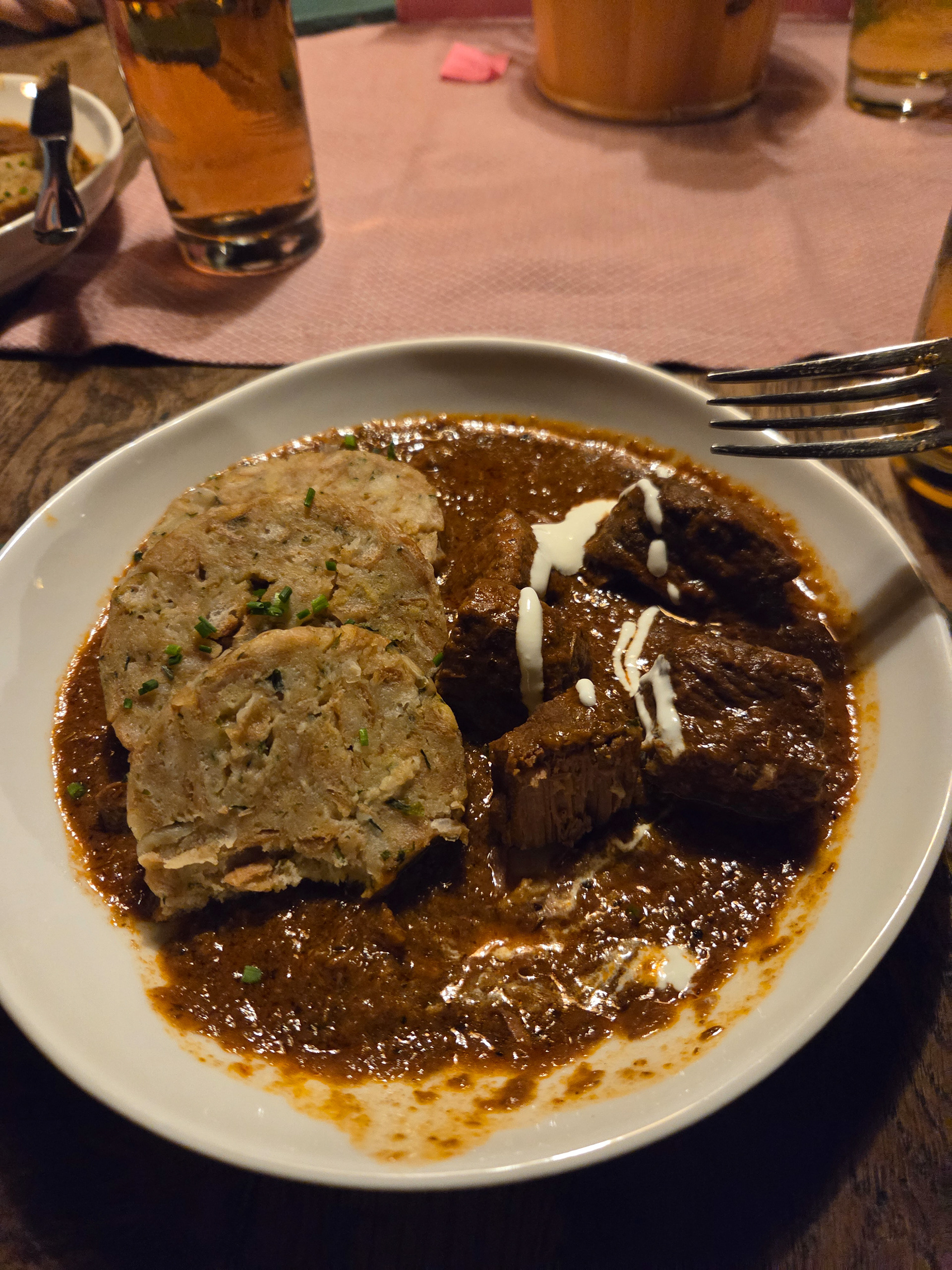
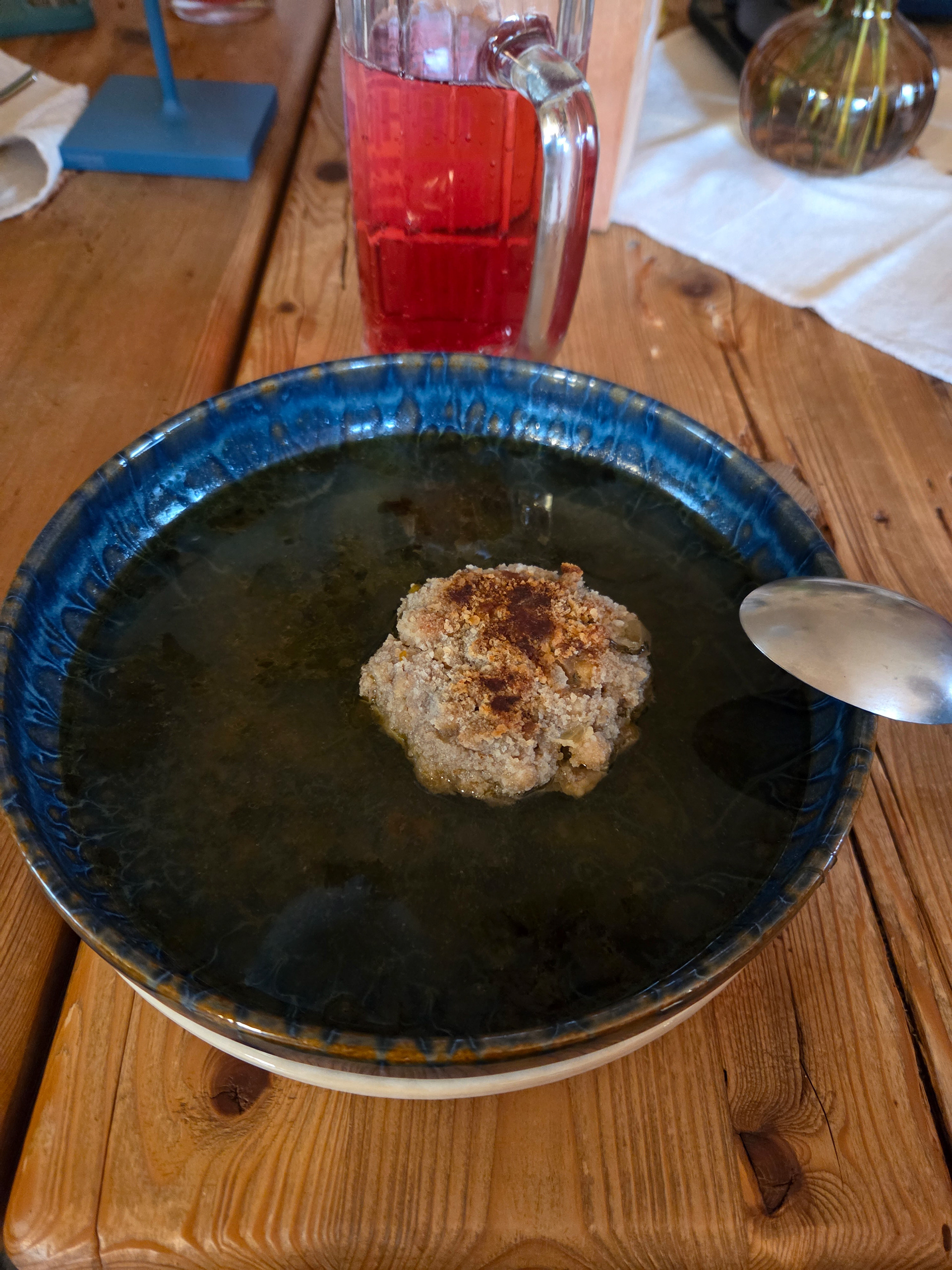
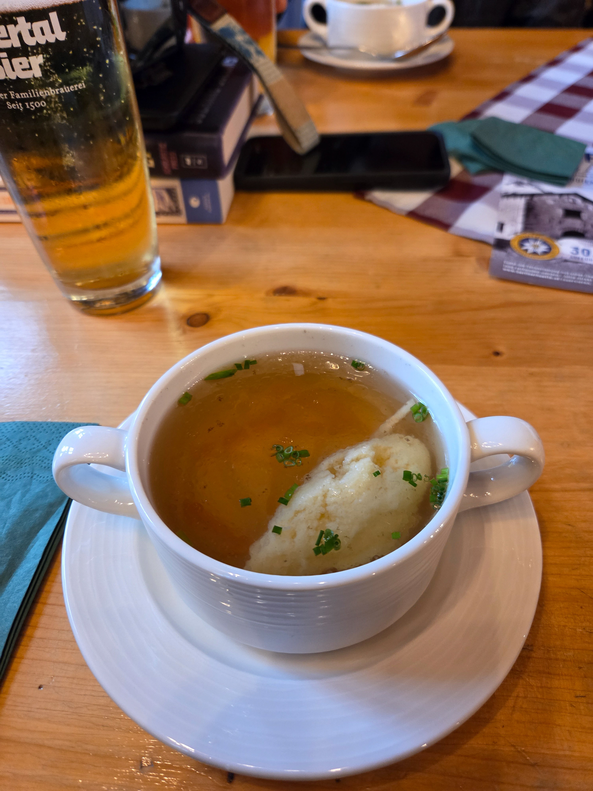
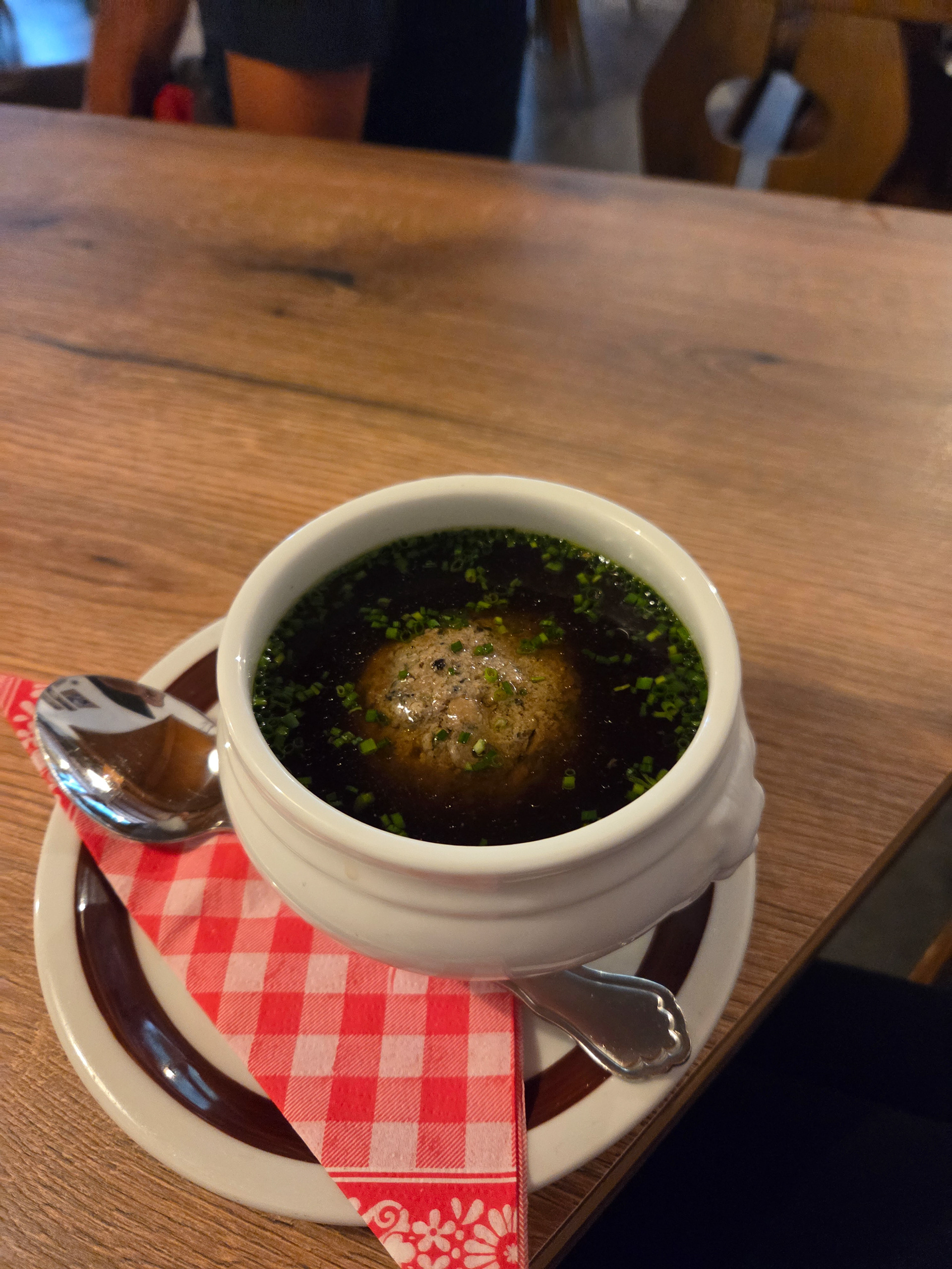
Daily Knodelsuppe ration! This one had great salty flavor and a perfect lunch before what comes next.
Taking pictures by a window and had a photo series idea for the group!
The forecast for Day 4 was still rainy but NOT thunderstorms so we all had our rain gear on already. Will it help though? Our pic with the sign.
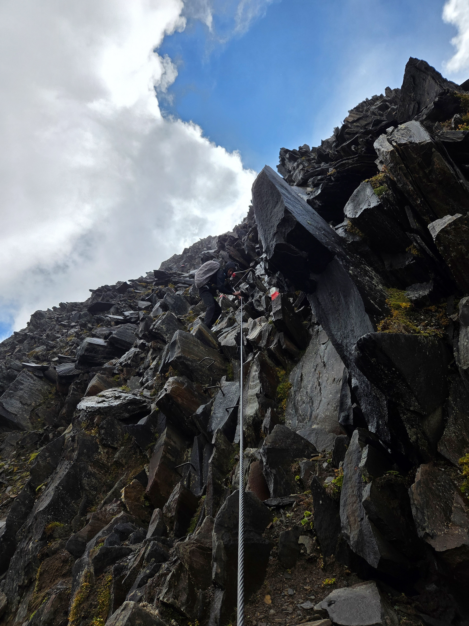
The Schönbichler Horn, at 3,133 meters, is the highest point of the Berliner Höhenweg. Safety ropes are provided in the summit area as climbing aids. This stage is partially exposed and challenging. Ascent 900 meters, descent 1,060 meters, walking time approximately 6 hours. -Wiki
Though the knoedelsuppe was good, we were not impressed with the hut (it was kind of small and EMPTY). The emptiness was the bigger sign that we should move on. As we were paying for our food, the attendant warns us not to go as it is probably not safe with the weather. He was being responsible in warning us (“as opposed to wanting our money?” -Morgan).
Still enjoying waterfall crossings, because we know little of what was about to come next! We keep keep hoping that the weather will hold.
One last view of safe refuge, oh and goats!
It started drizzling and so I put my camera away. Took one last pic of Dan.
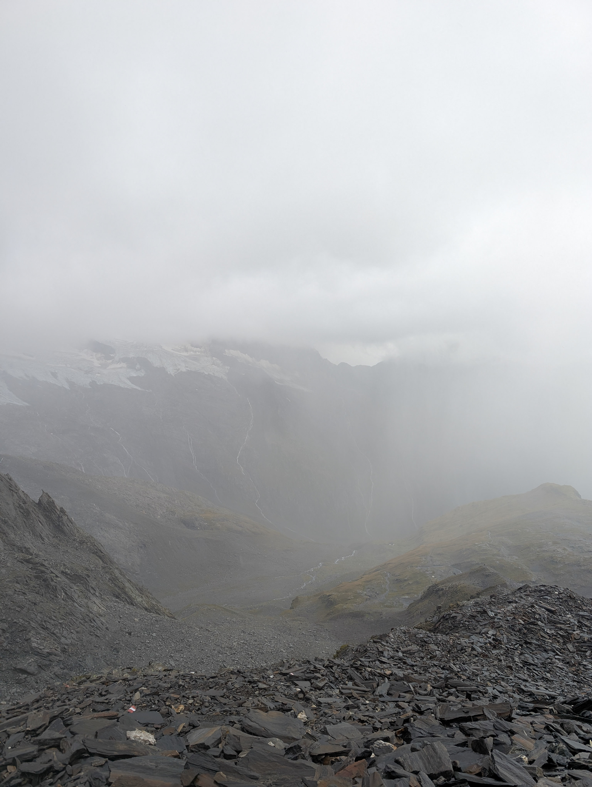
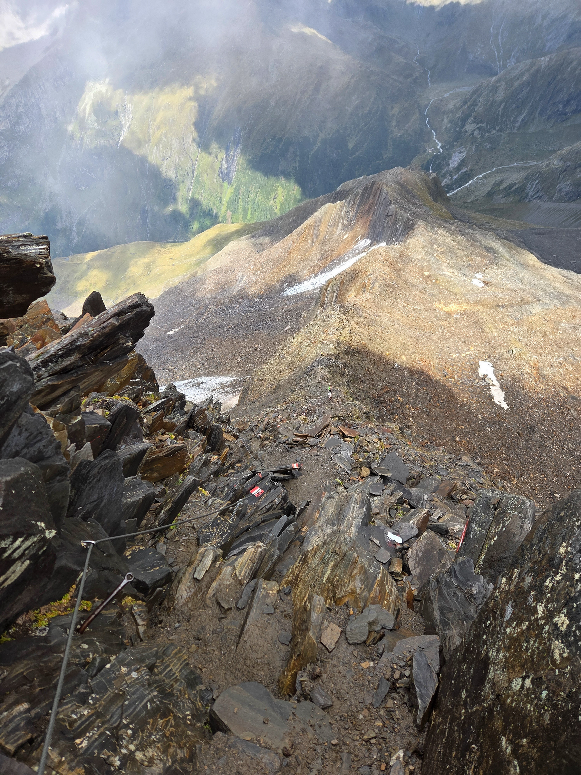
Descending from the Horn. This feels safer but also section felt long. Too long. It didn't help that Berliner Hutte was in front of us the whole time for the next four hours. Around this point, get an idea for a poem. I write it up later in the safety of the hut.
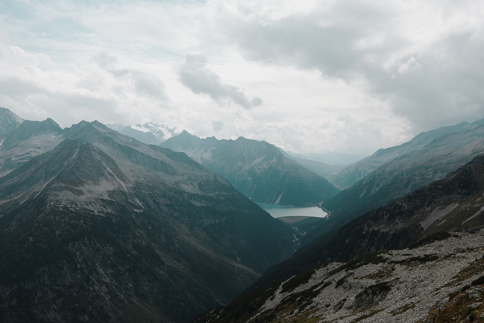
Berliner Hutte in the background by waterfalls and streams at the Zemmgrund subvalley.
They wanted a picture with the destination.

The glacier continues on the other side of the horn, which was the source of all these small streams. Do our smiles show how happy we are to be alive?
A mini-horse appears!
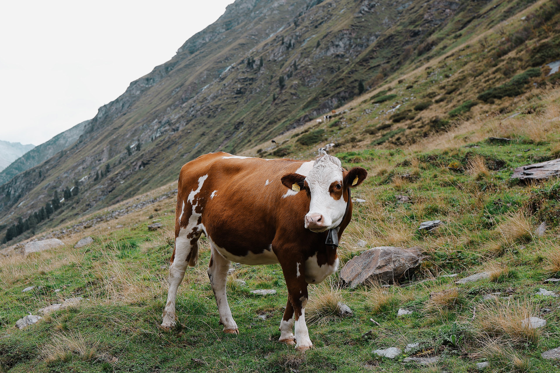
This cow was in the middle of the path and didn’t didn't run away from us so we took turns giving it head pats! PC: Dan
In the last hour, it started raining again so I put my camera away. When we finally arrived at the Berliner, we were so wet and tired and weary but we still had to take a selfie before...
...entering this grand and fancy (relatively) dining area. Imagine hiking for 11 hours in the rain/hail/wind and entering this room with the stained wooden floors/walls/ceilings/chandeliers where everyone is dry and cozy and eating their hot dinner. We felt out of place and it seemed like everyone was staring at us. We did a 180 and went back into the cold rain and went around the house to the front entrance.
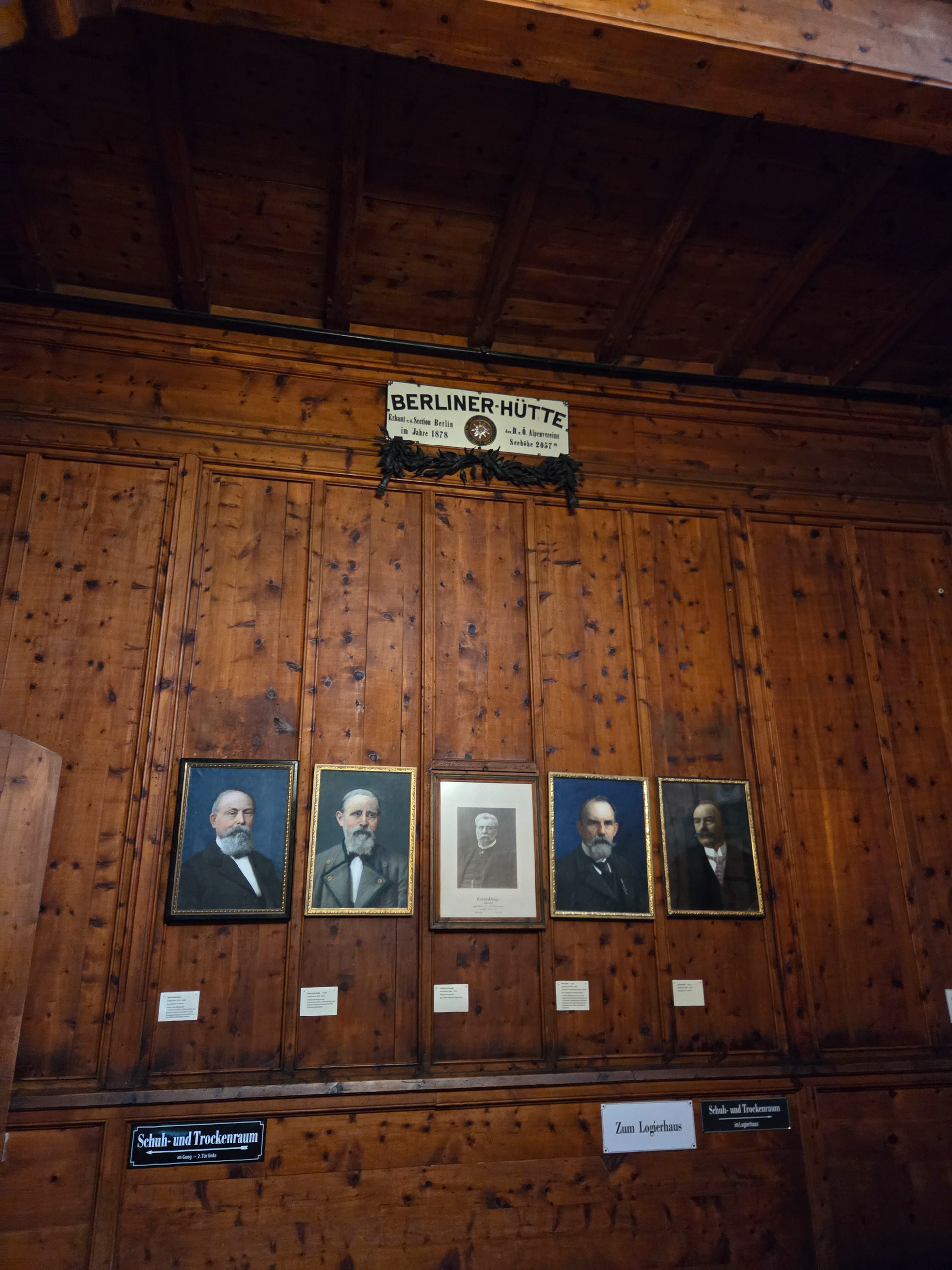
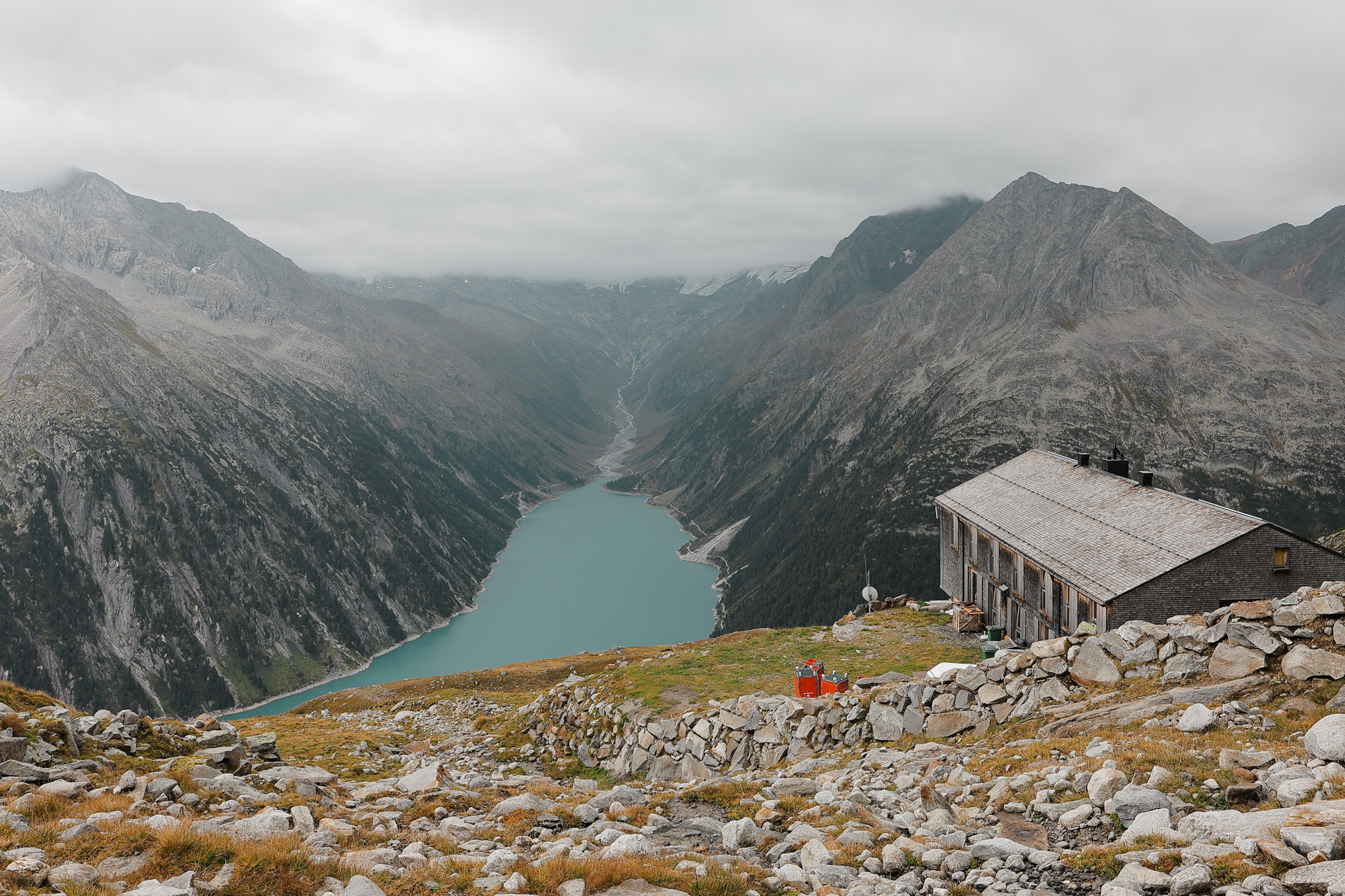
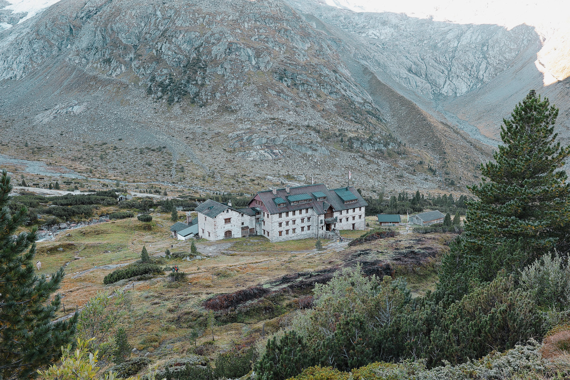
The Berliner Hütte! It is the most famous of the huts on the Berliner Höhenweg. This whole time I have been wondering why this trail in Austria is called the Berlin High Trail when it is ~500 miles away from Berlin. Here is the answer! The Berlin Section of the German and Austrian Alpine Club was very active in this region before there were any huts. They built the first hut in the area and called it the Berliner Hütte! (How original.) Pretty soon they build other huts in the other valleys and they end up calling the trek the Berliner High Trail!
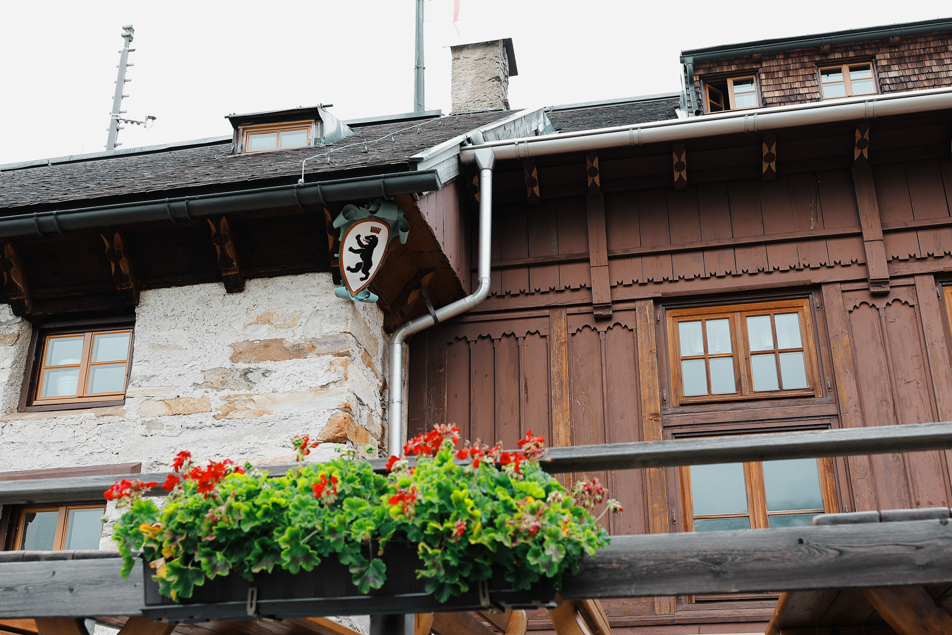
Outside the hut, the Berlin coat of arms is visible on a shield. It is a standing black bear with a floating crown.
Cozy!
Berliner Hütte Hütte-Cat!
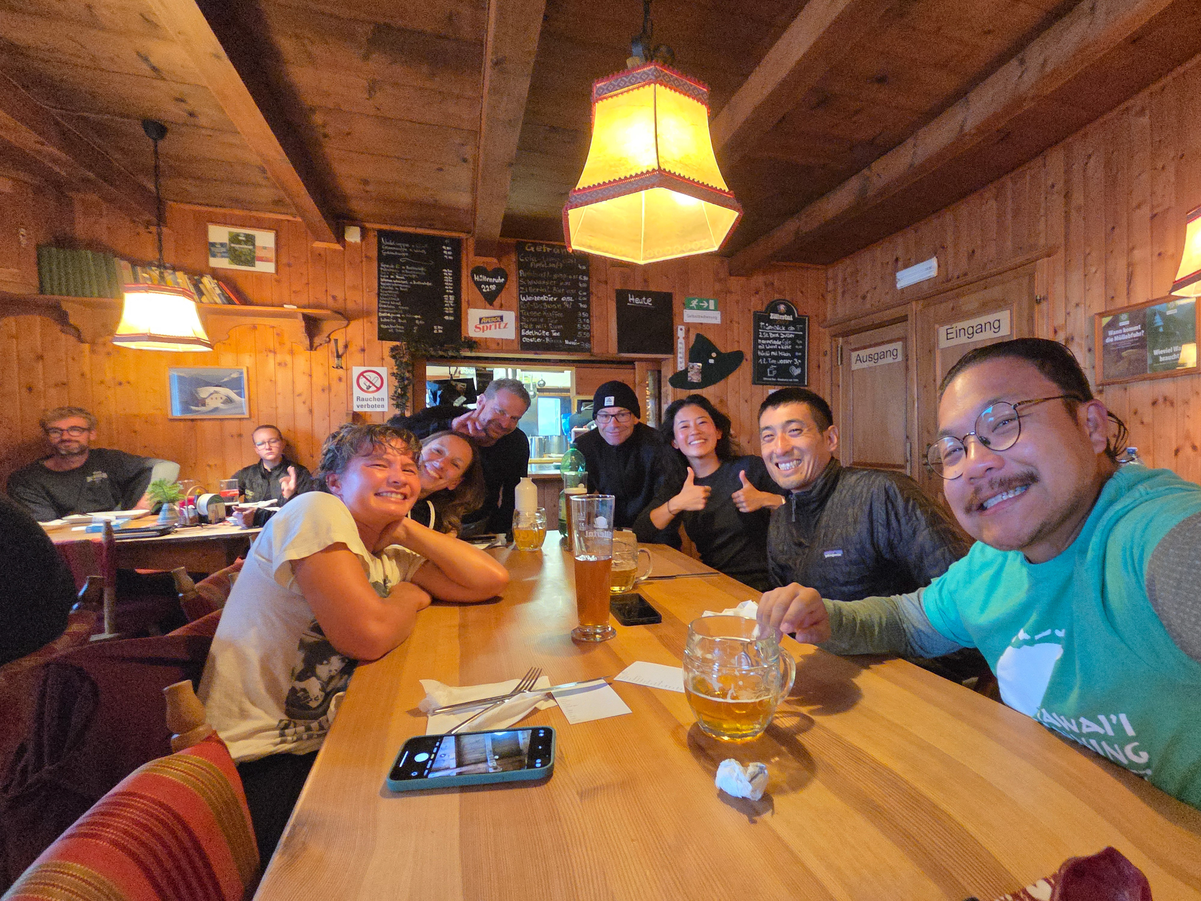
Five becomes Eight! Row 4: Malte, Vicky, Han. Row 3: Dan, Einny. Row 2 Eva, Morgan. Row 1: Me!
We start our day by hiking yesterday’s last mile.
Wood bridges are fun! More fun than straight stream crossings and more fun when you're dry and the elements are NOT trying to kill you...
Fog creeps in behind us but no rain.
A section with three plank bridges. 30/10 would recommend.
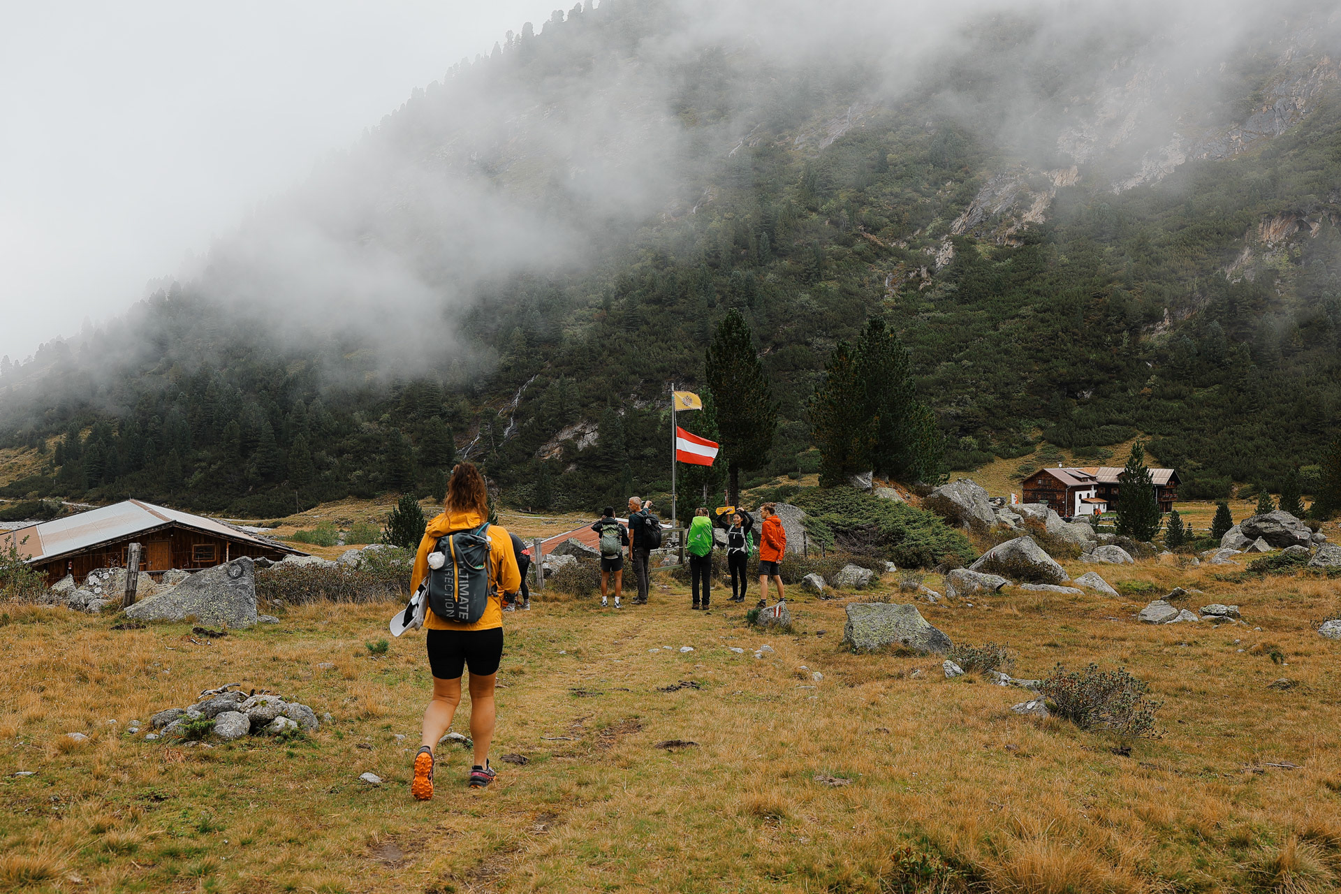
We go through a farm with a restaurant: Waxegg-Alm. We had just started to hike so no one was thirsty yet.
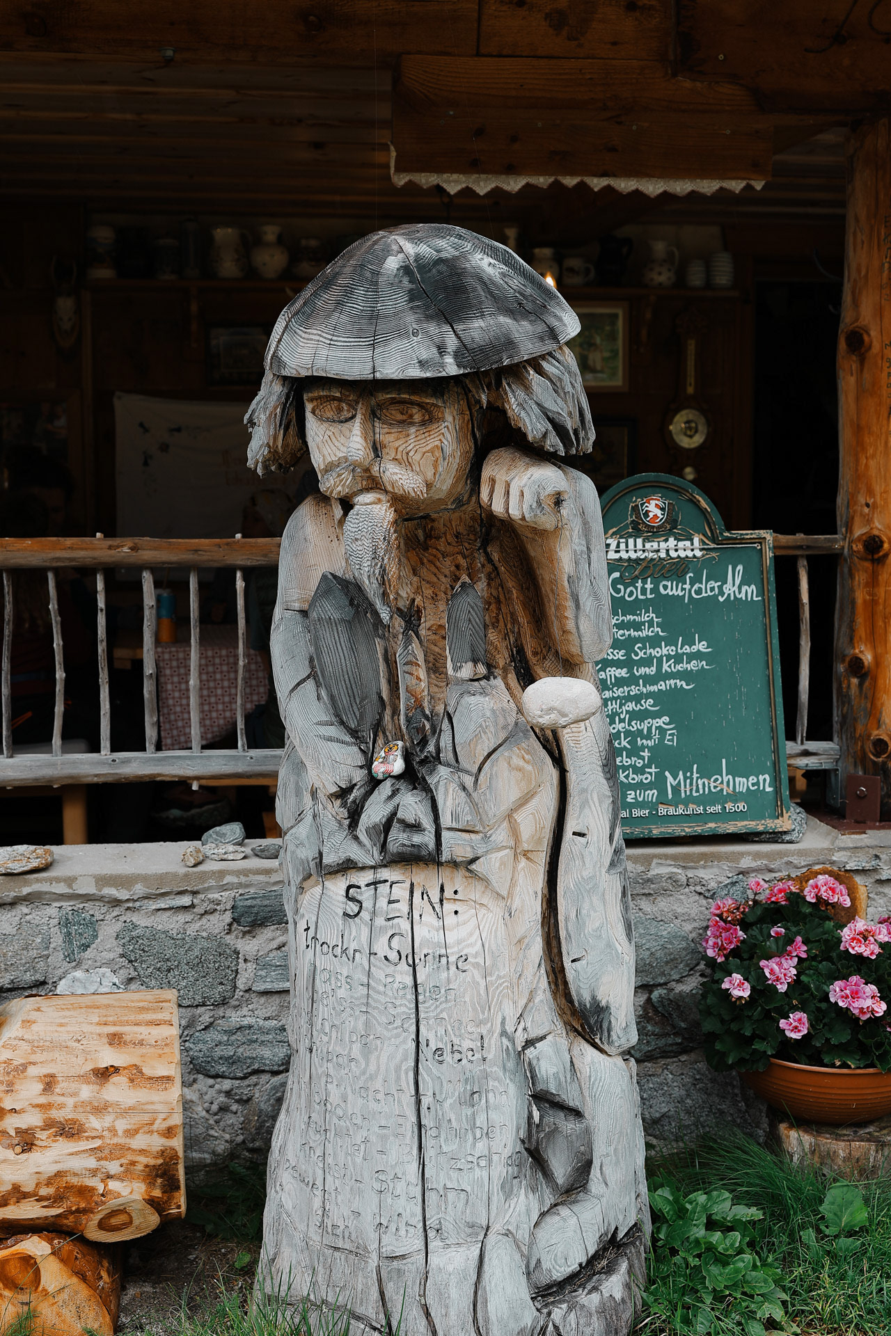
Is his name Stein? (Morgan: he looks like the lucky chinese shop cats) But he's made from wood! (Stein means stone).
This one was mean mugging each one of us as we passed by!
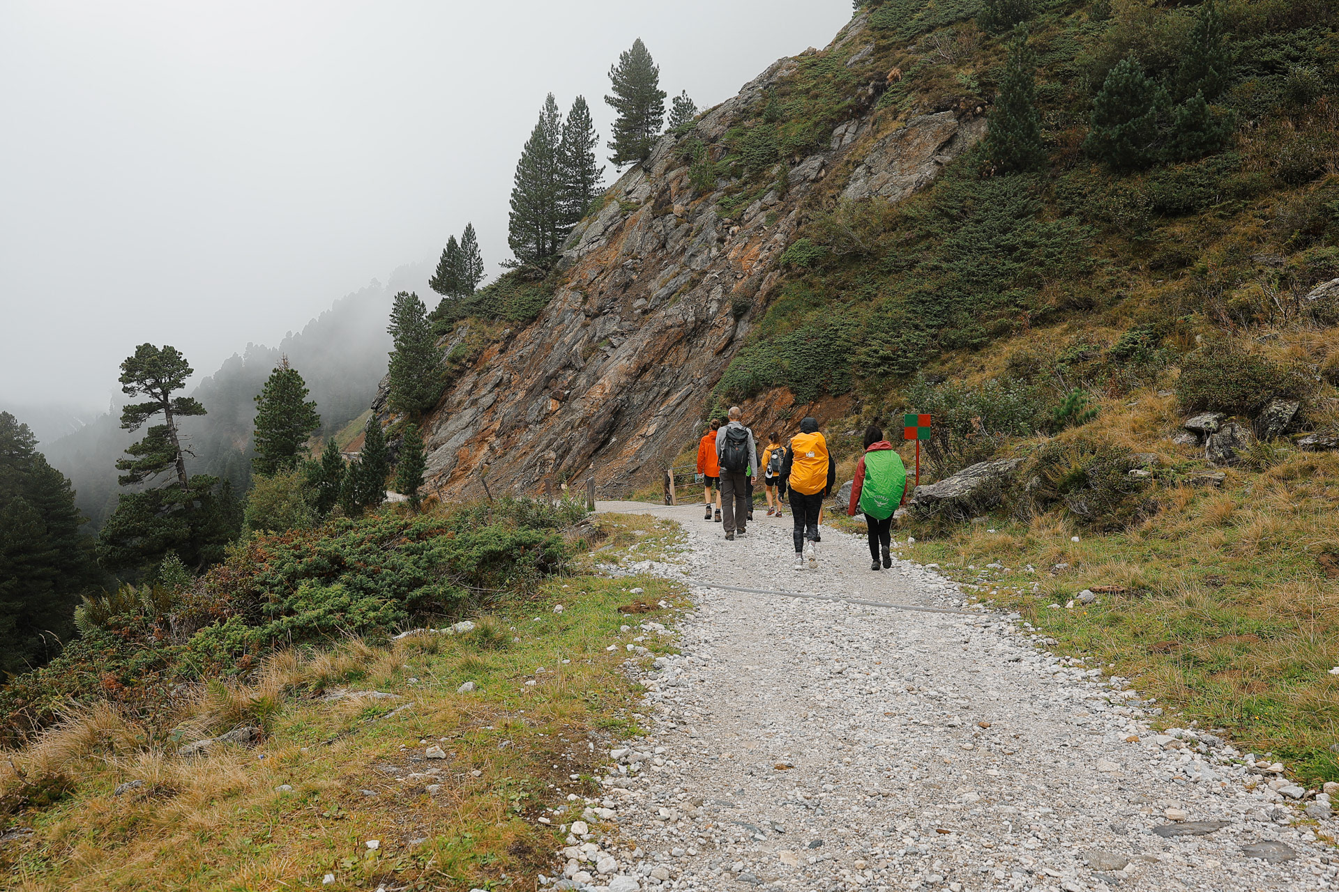
The thing about hiking down to your destination is you have to hike back up...
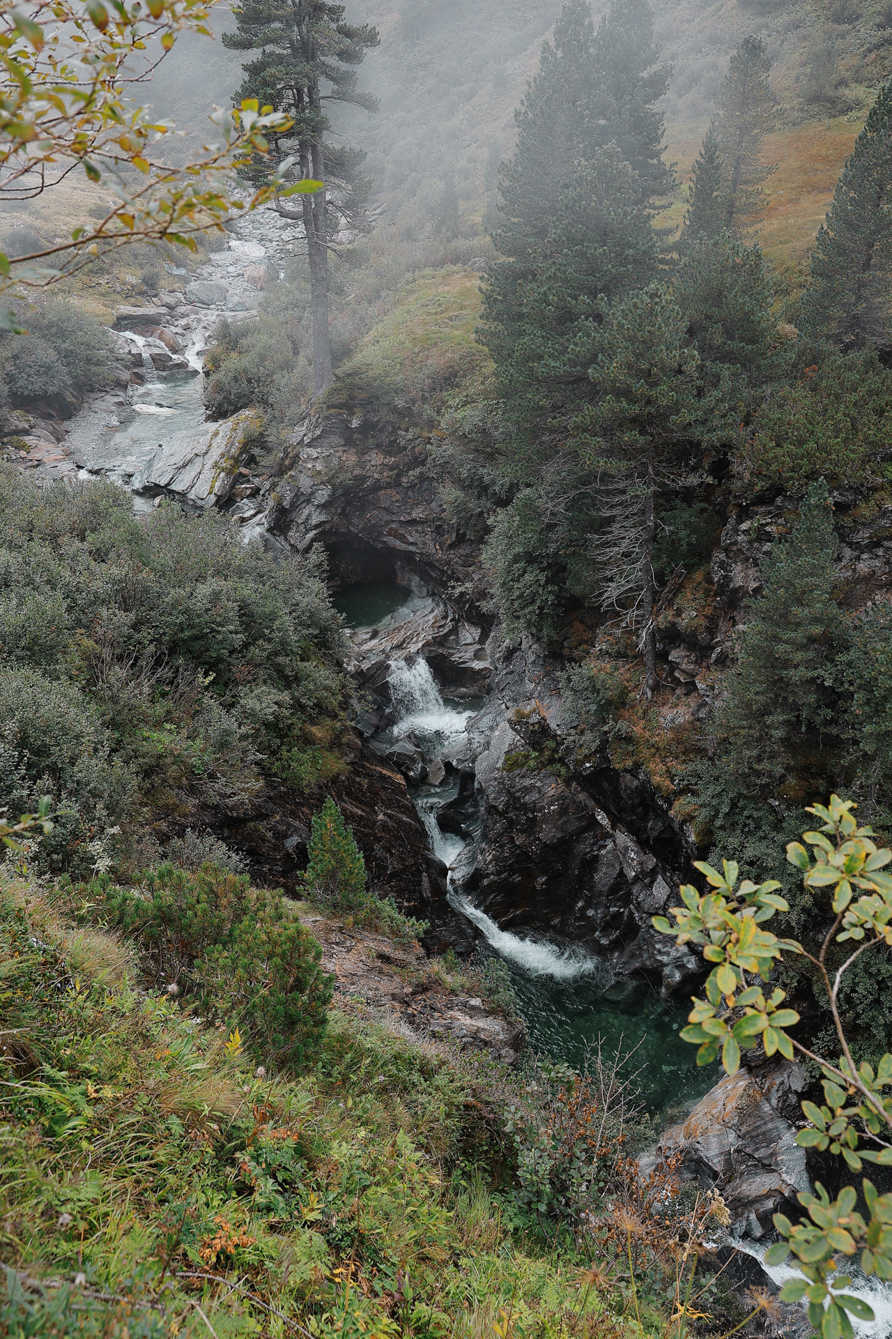
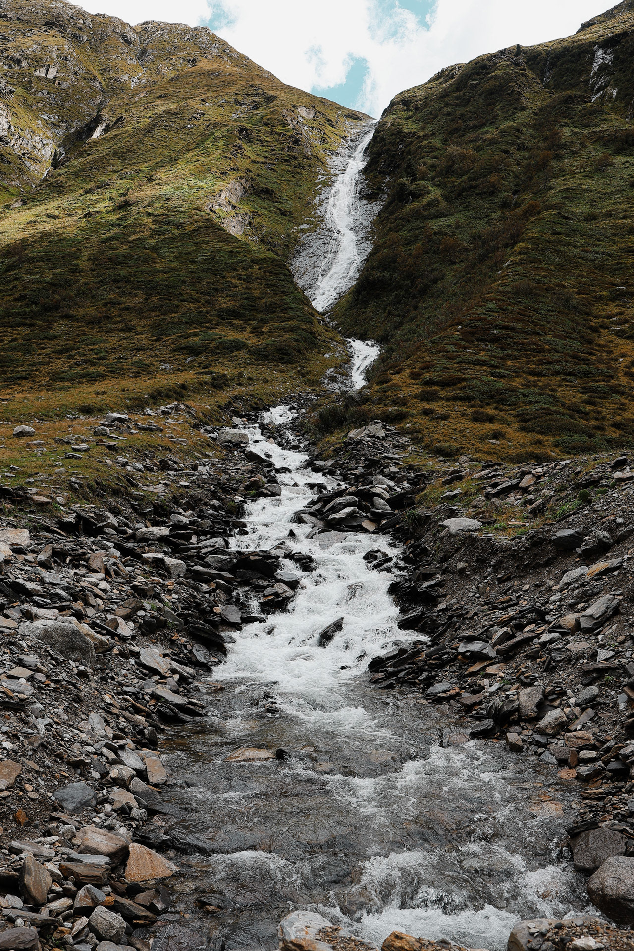
Small waterfalls in the stream.
Cloudy Zemmgrund.
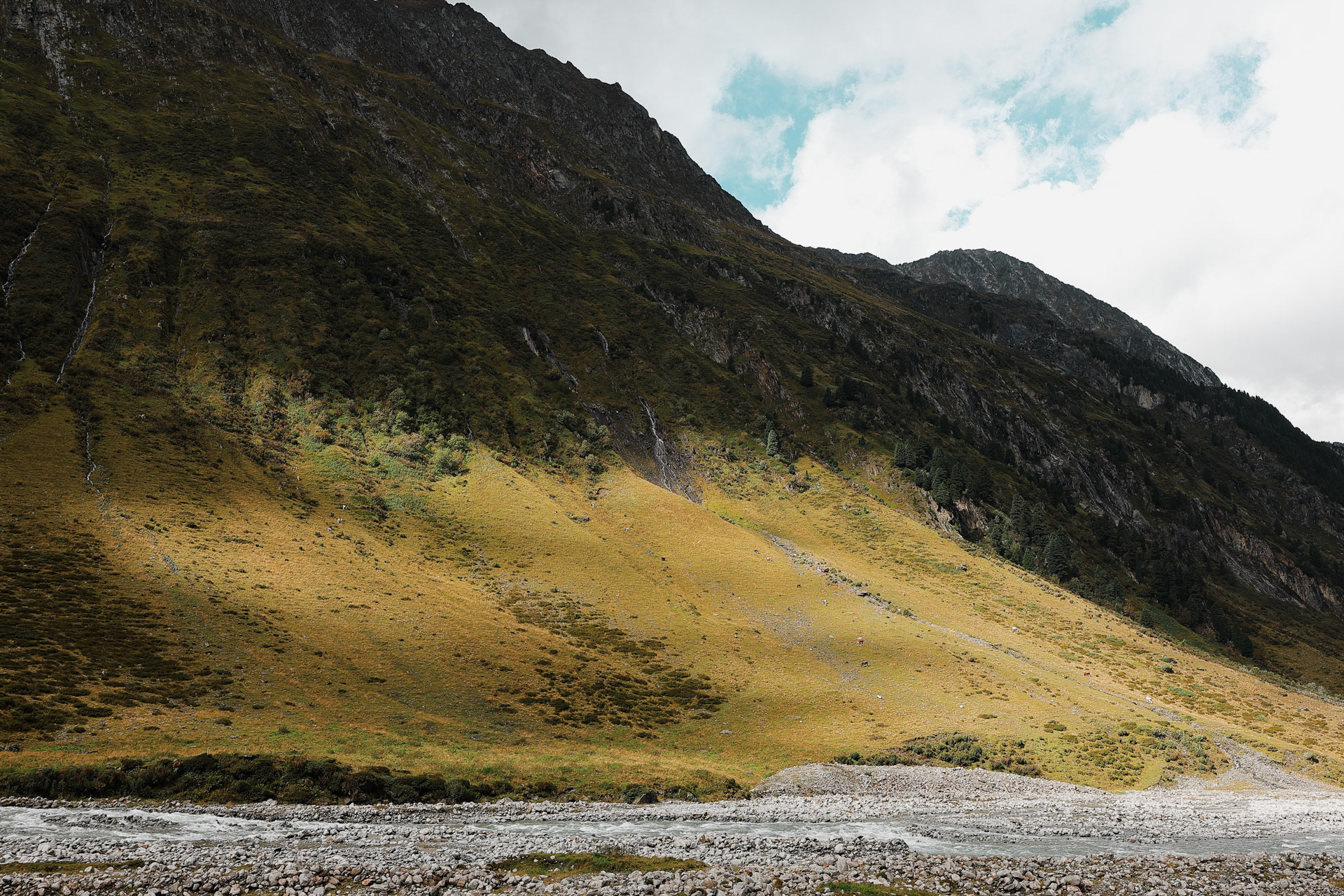
Throughout the hike we pass lots of farms but see no farmers.
We made it! It's pretty small but has its own charm! Great kaiserschmarrn as usual. The hosts were very hospitable.
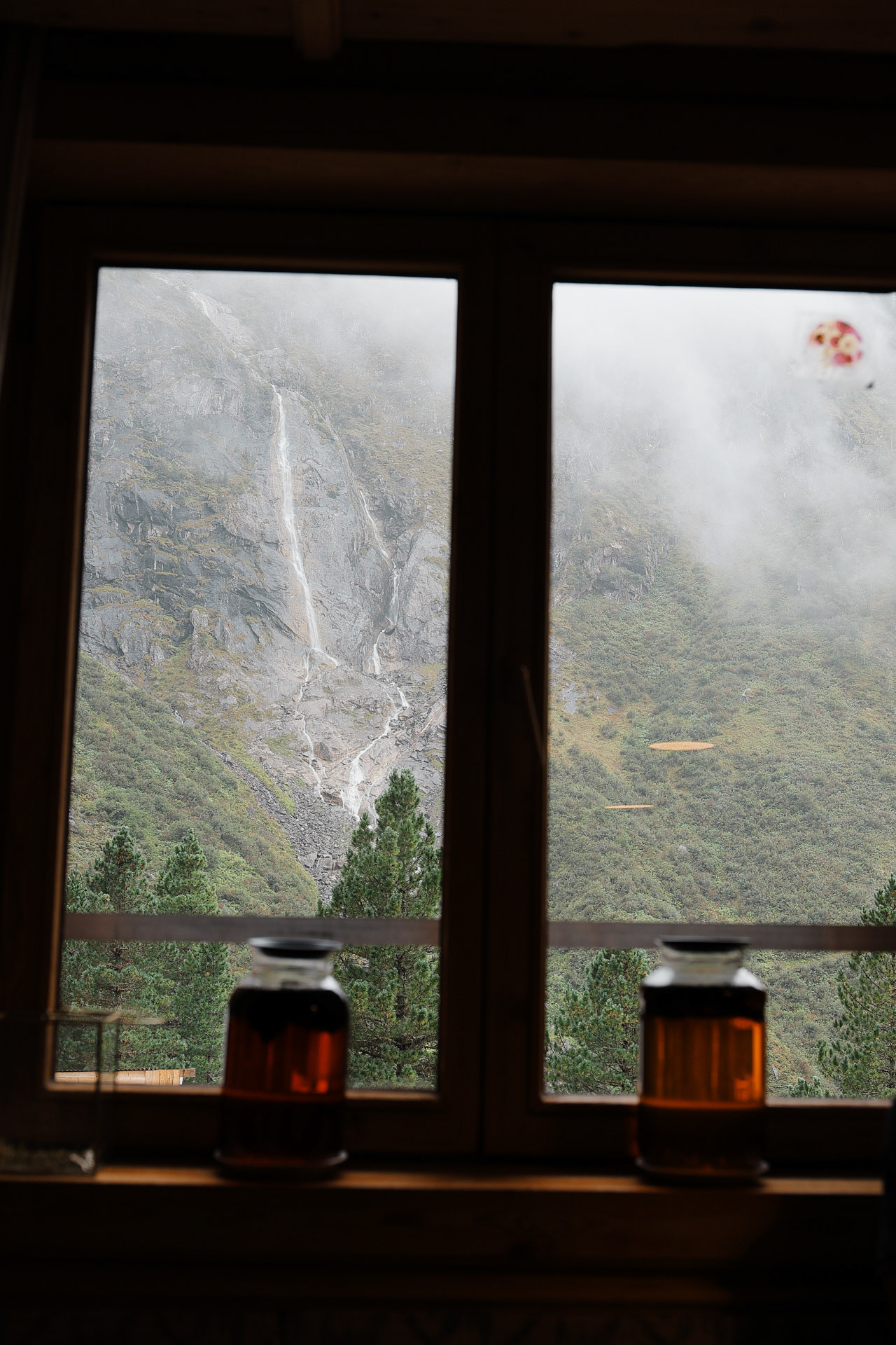
A view from the dining room, you see some tall waterfalls in the back. In the foreground there are 2 jars that is making Pinecone Liquor, a local delicacy. OR it might be tea... they do make both.
We arrive back, and here is our sign pic!
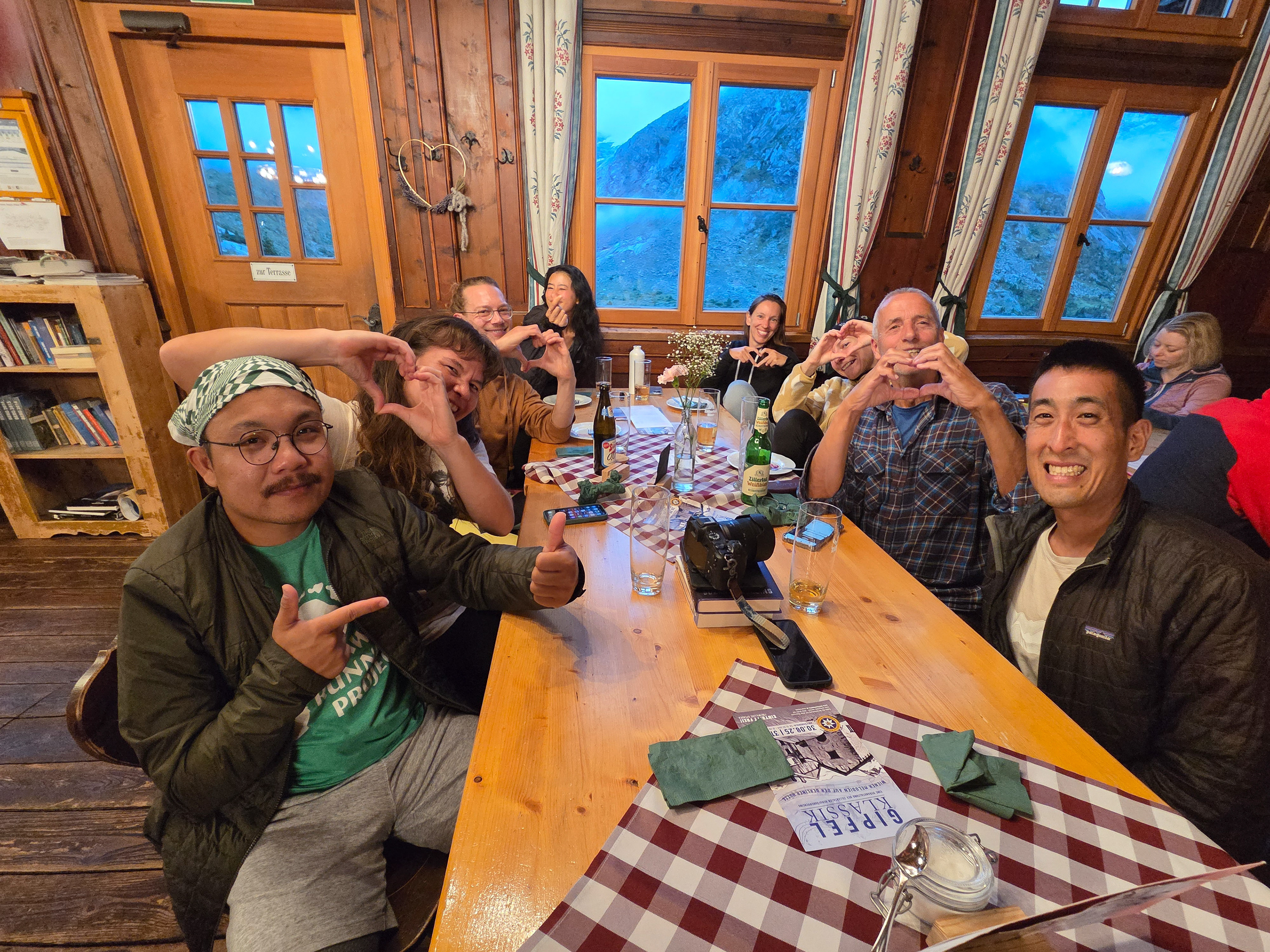
The gang trying to do our heart hand heart versions, I went for anatomical precision.
Via the Mörchnerscharte (2872 m, safety ropes, short ladder) down to the Floitengrund , then up to the Greizer Hut. Ascent 1200 m, descent 1100 m, walking time 7 hours - Wiki
Glaciers in the morning. Middle tallest peak is the Großer Möseler. Green peak on the right is the Schönbichler Horn that we got hailed/rained/winded on in Day 4!
Bye, Berliner Hutte! It was nice knowing you for 2 days! I wanted to take this picture at night but it was rainy.
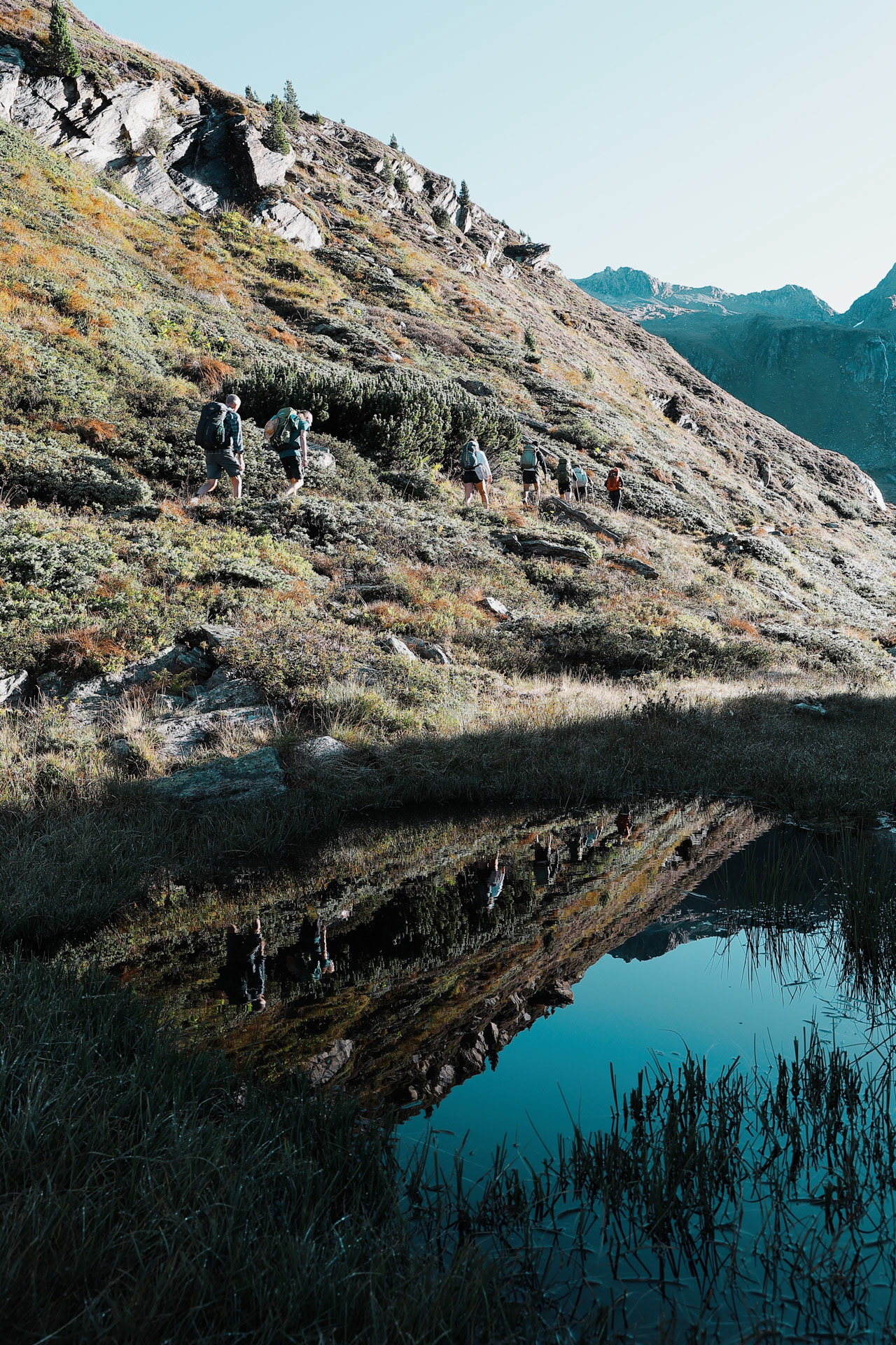
Reflection on a pond. EDIT THIS
Back of the Zemmgrund. Around this time, Han jokingly started talking about doing an idea for trail points system to encourage us to follow good etiquette (as opposed to having hard rules). Points for being on time, minus points for being late (he was the last one out that morning
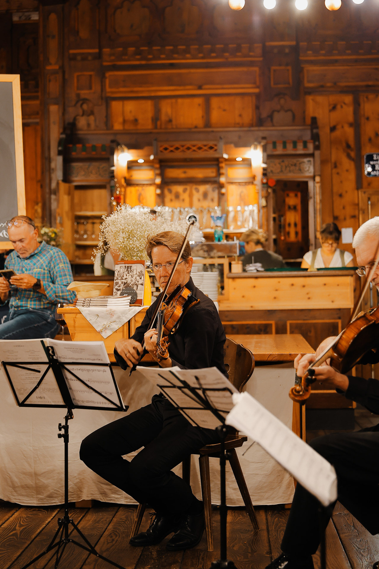
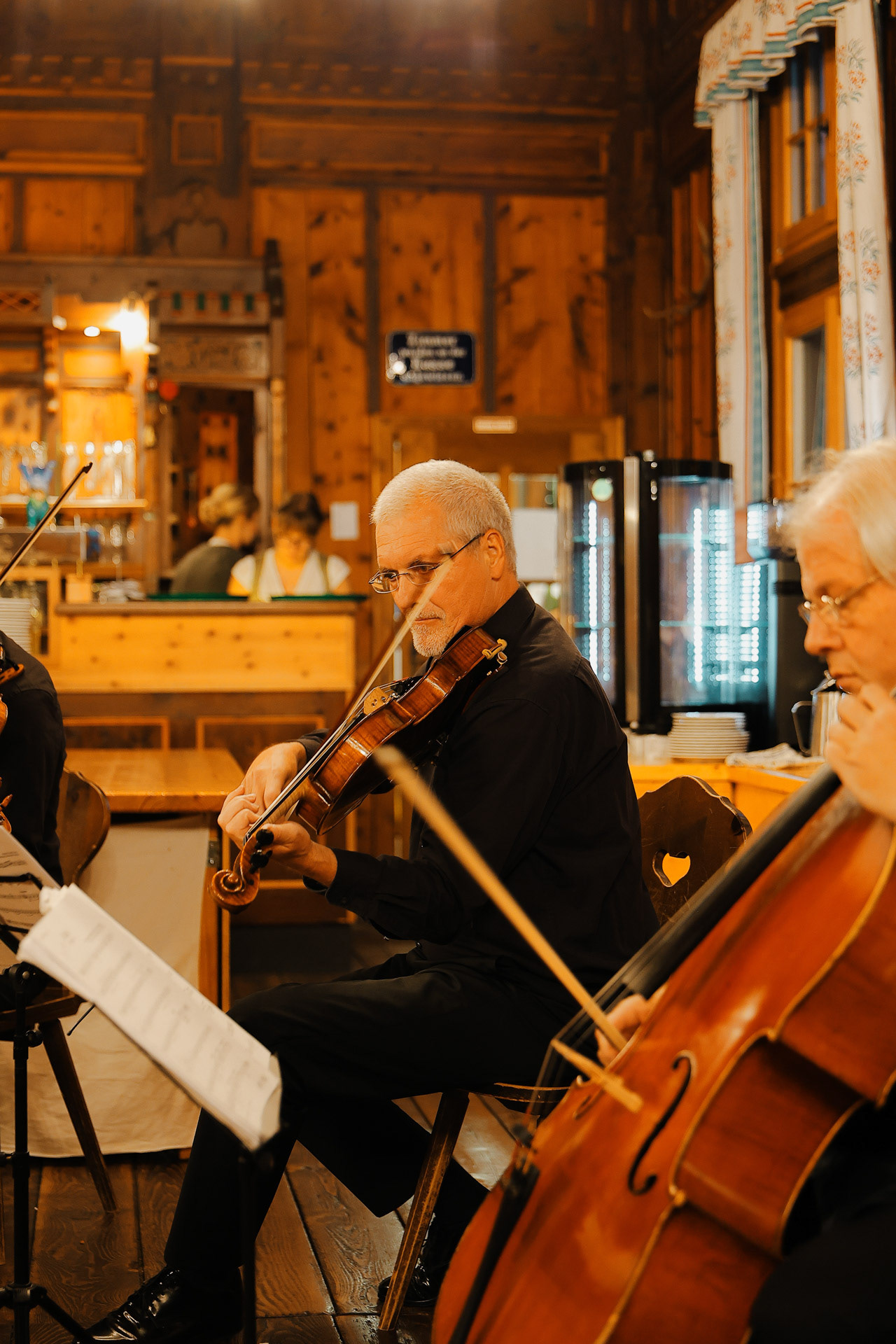
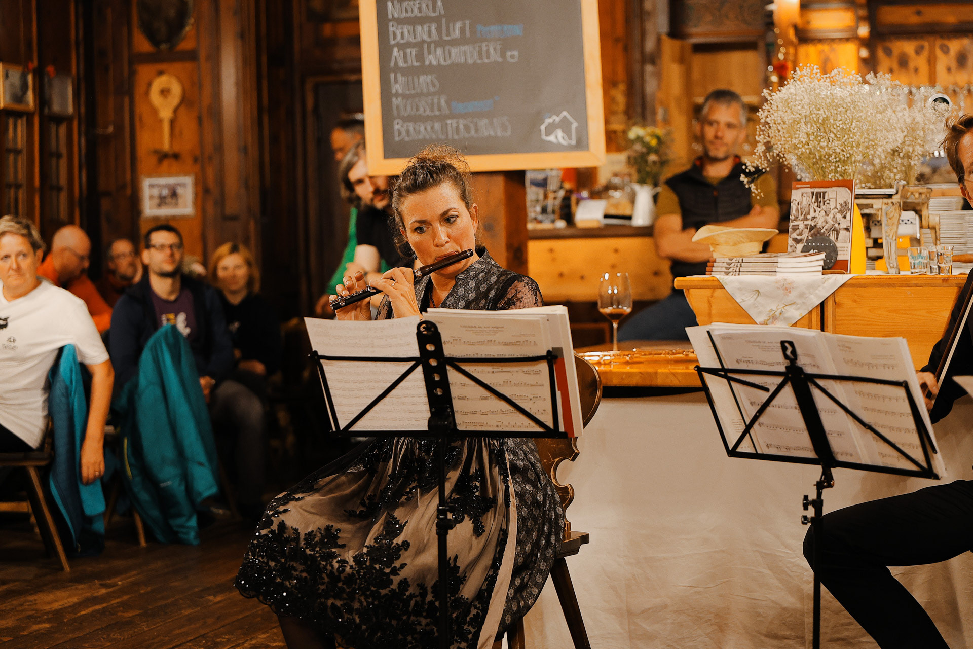
The Violist from the quartet hiked with us for a bit! He didn't bring his instrument though.
The violinist was there too with his partner.
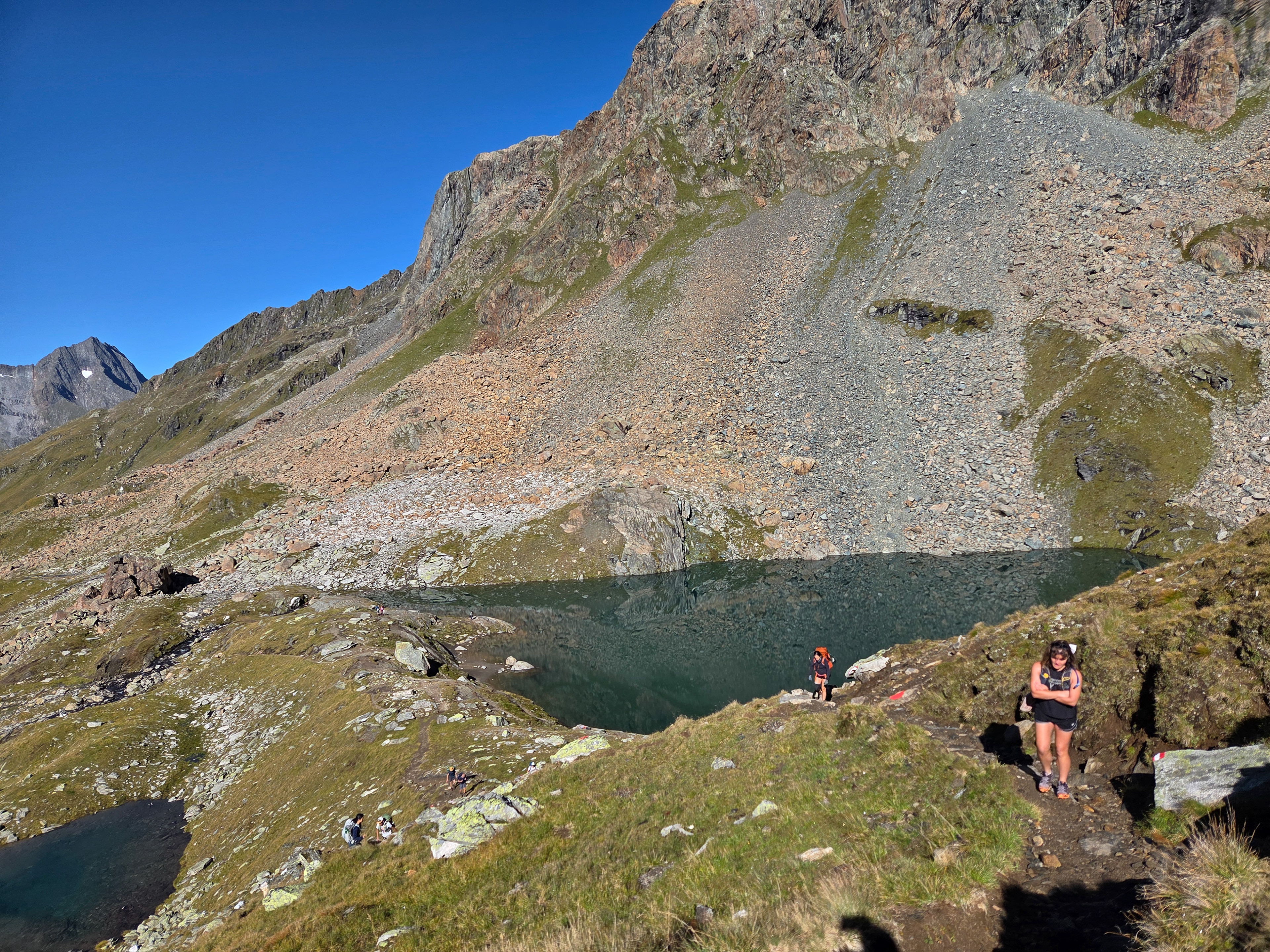
The Schwarzsee is a lake by the trail! Malte, Morgan, Dan, and I got in the water! FREEZING. But a great experience. The coldest water I've been in on this trip so far. We inspired some of the seniors pictured here to get in too!
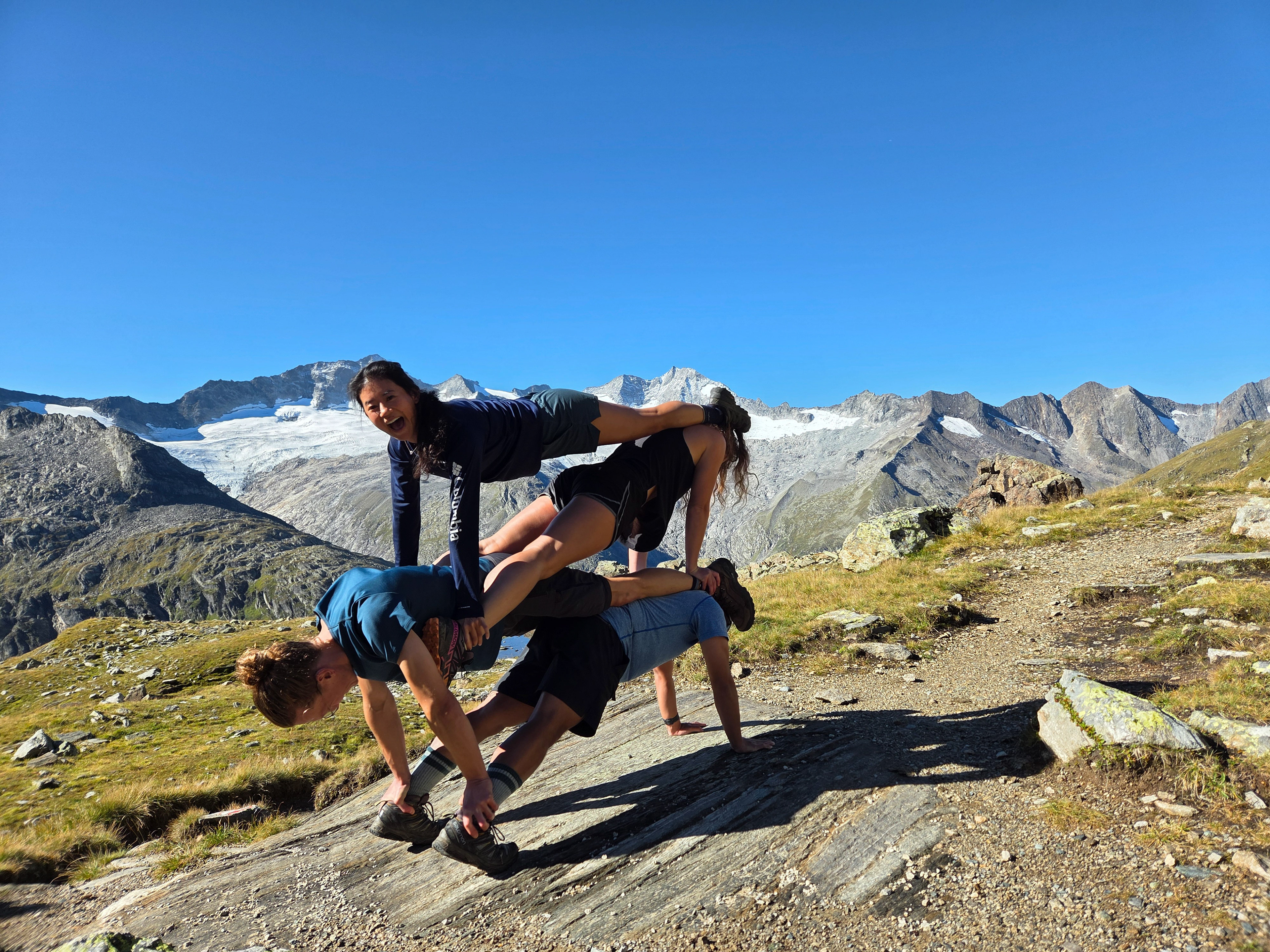
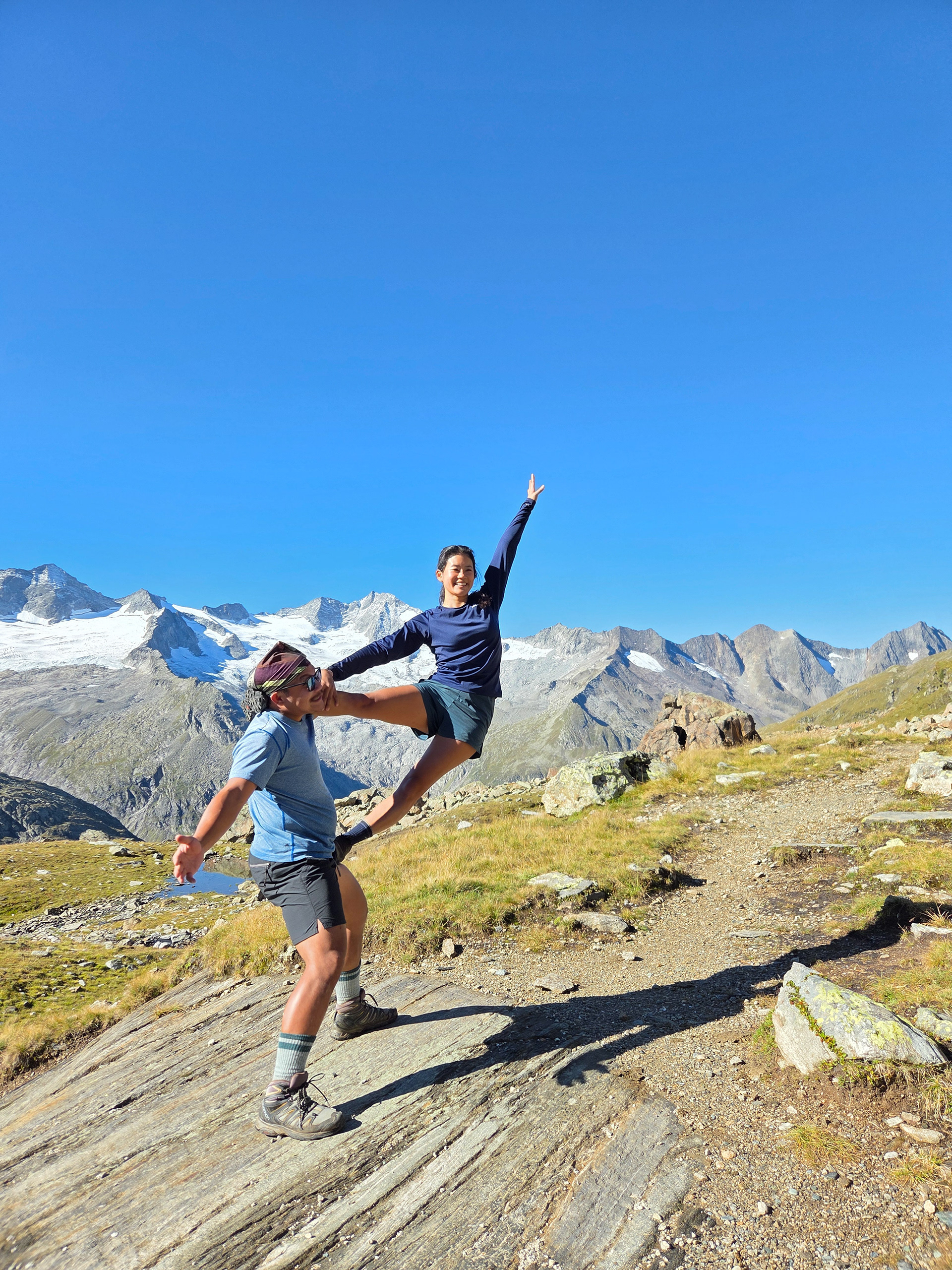
After dancing, Morgan is like, oh let's do a plank stack! It's an interesting form because of all the height difference. Yes, that's me as the base.
And more acrobatics!
The sun is high but we are cold! Especially since we dropped our packs.
Malte at the rocks by the Eissee.
This water is labled Eissee on AllTrails and Komoot, meaning Ice Lake. We had to hike around this lake and all of the rocks still had a layer of very very very slippery ice so we were very careful. The water still had floating ice in a lot of places.
Einny, Vicky, and Dan by the Eissee.
Ran down the mountain and got to do this panorama! Probably better if you view it here.
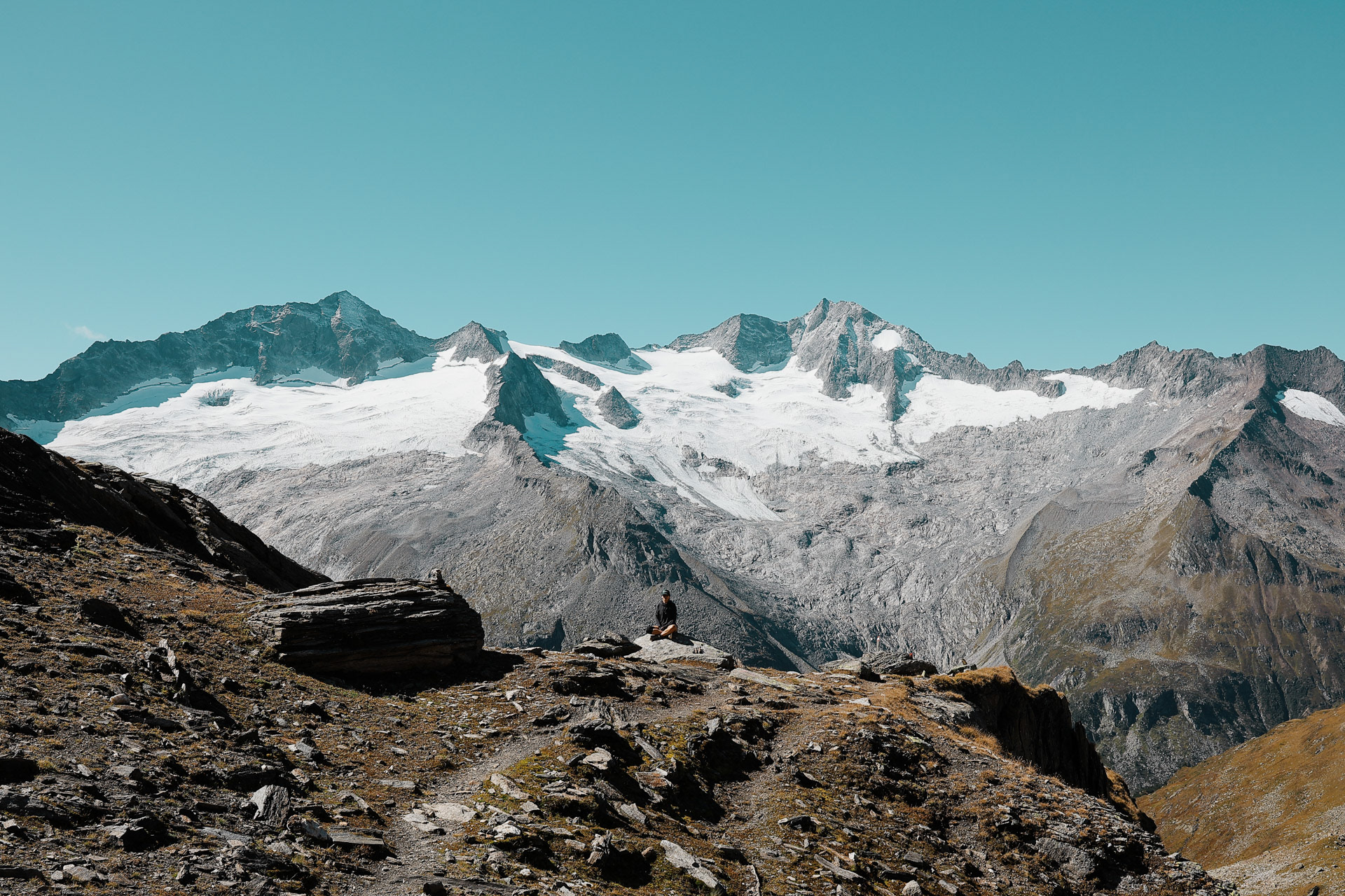
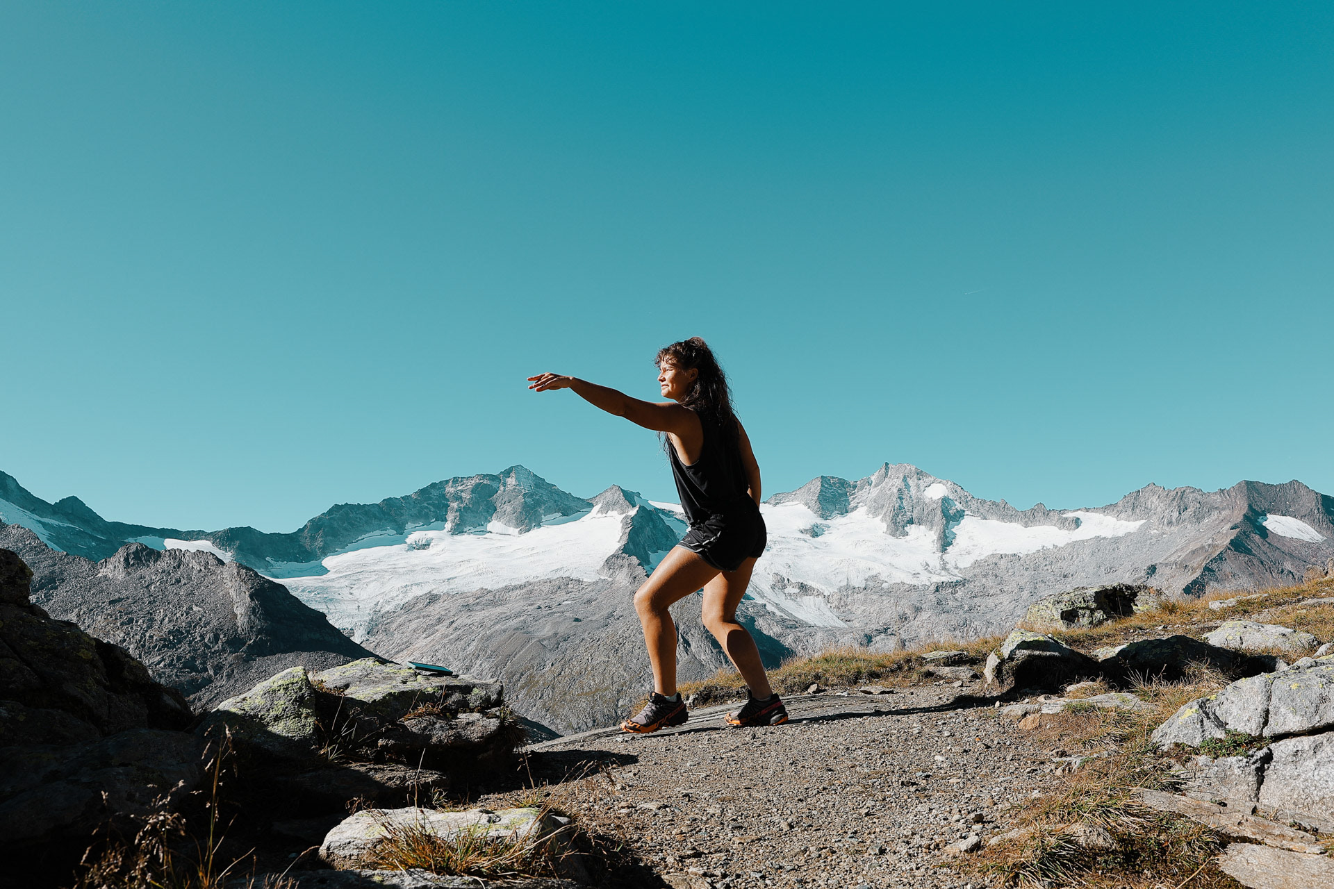
We finally got back to this scene of Eva meditating in the mountains.
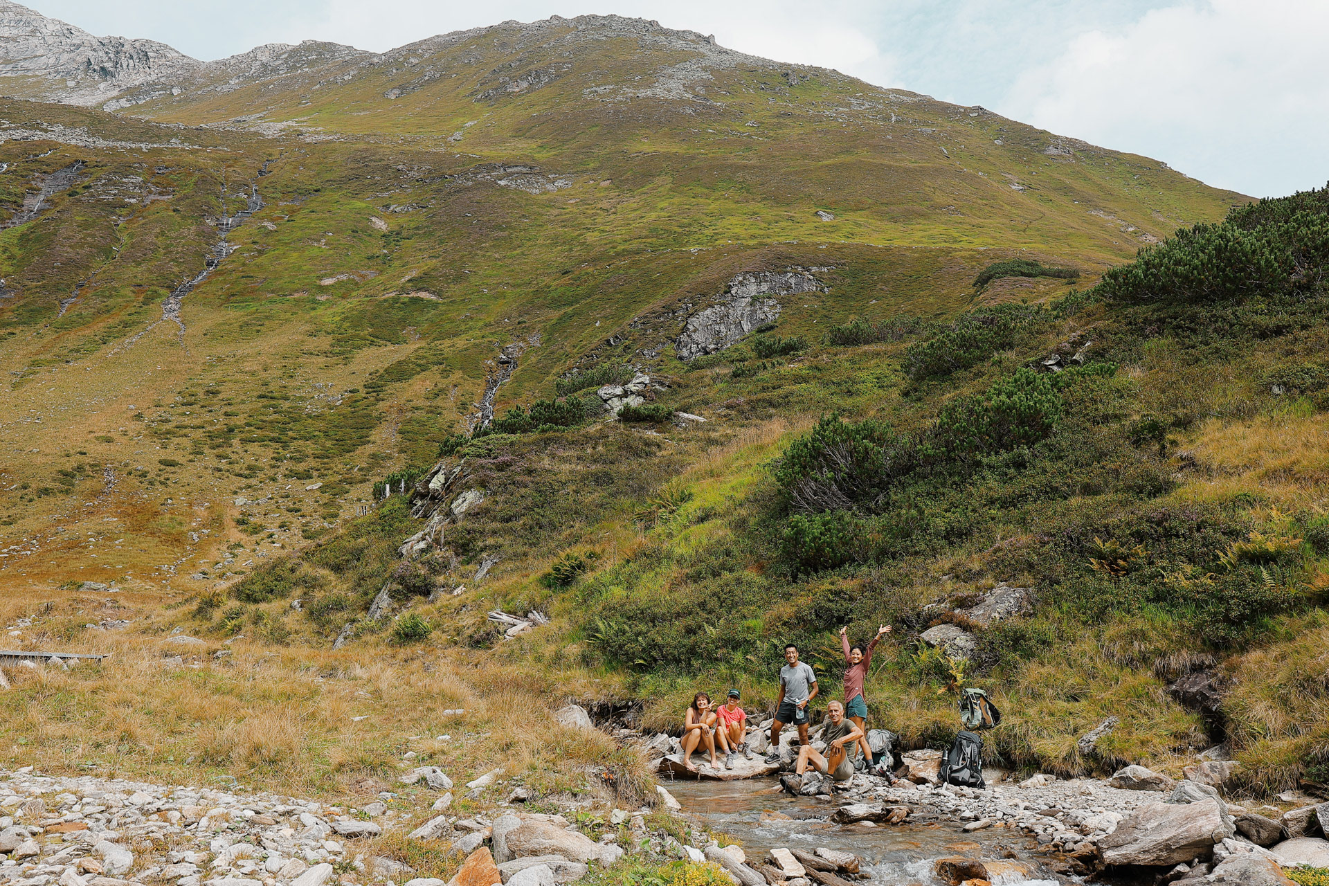
We head back on the trail to Greizer Hutte. When we see this flat area with a stream, we decide to have a quick lunch.
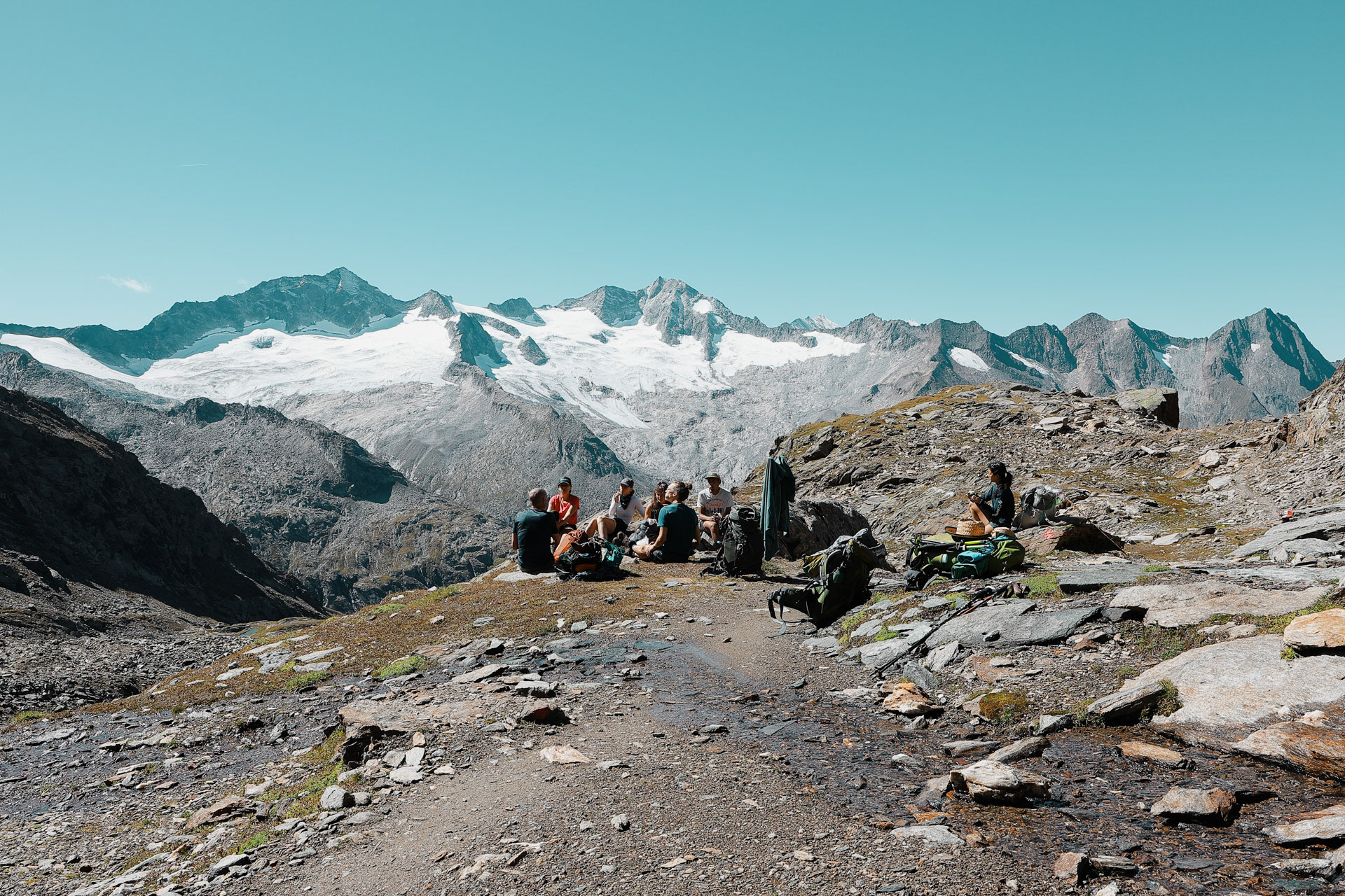
While everyone was still eating, I set up my tripod for some group shots!
Mountain passes hit different when you don't have hail and rain. Since Eva's knees have been bothering her, especially on the downhills, Han, Malte, and I took some stuff from her pack to help her with the weight. Though I was really slow on the uphills, I could run downhill pretty easily! Falling with style, as one famous astronaut would say.
We see a sign. Might as well take a picture!
The view over the Mörchenscharte pass. You can see the next hut, Greizer Hutte in the middle of this picture. The leftmost peak is Gigalitz Peak which we hike to in Day 7 for a bonus hike! You can see a pass on the right side of the peak and that is the regular way for Stage 7. Today, we need to descend to the bottom of the valley and back up to the hut. At the bottom left you can see some of the metal cables.
Looking back to the Mörchenscharte. You can't see from this picture but there are two metal cables to go down from the saddle and half of the group picked the top and half of the group picked the bottom one. The ones who picked the top cable are pictured here.
First group going down the lower cable, Morgan taking a selfie with great form. PC: Malte
We saw these two other hikers taking a break! One of them also had a camera like me, though he had a prime 40mm lens. We exchanged cameras, I took a picture of them (on their camera, so not this pic) and...
...they took a picture of us! We taught Han the shaka.
I remember this conversation because they were trying to define "wistful".
These guys were NOT wondering what wistful meant.
We are now in the Floitengrund subvalley which is the view we were looking at from the first hut, Gamshütte. This means that Gamshütte is somewhere in the back of this picture!
As we waited in line to go down a ladder, Han and I start talking about beers. We promise each other we'd buy each other beers when we get up to the hut!
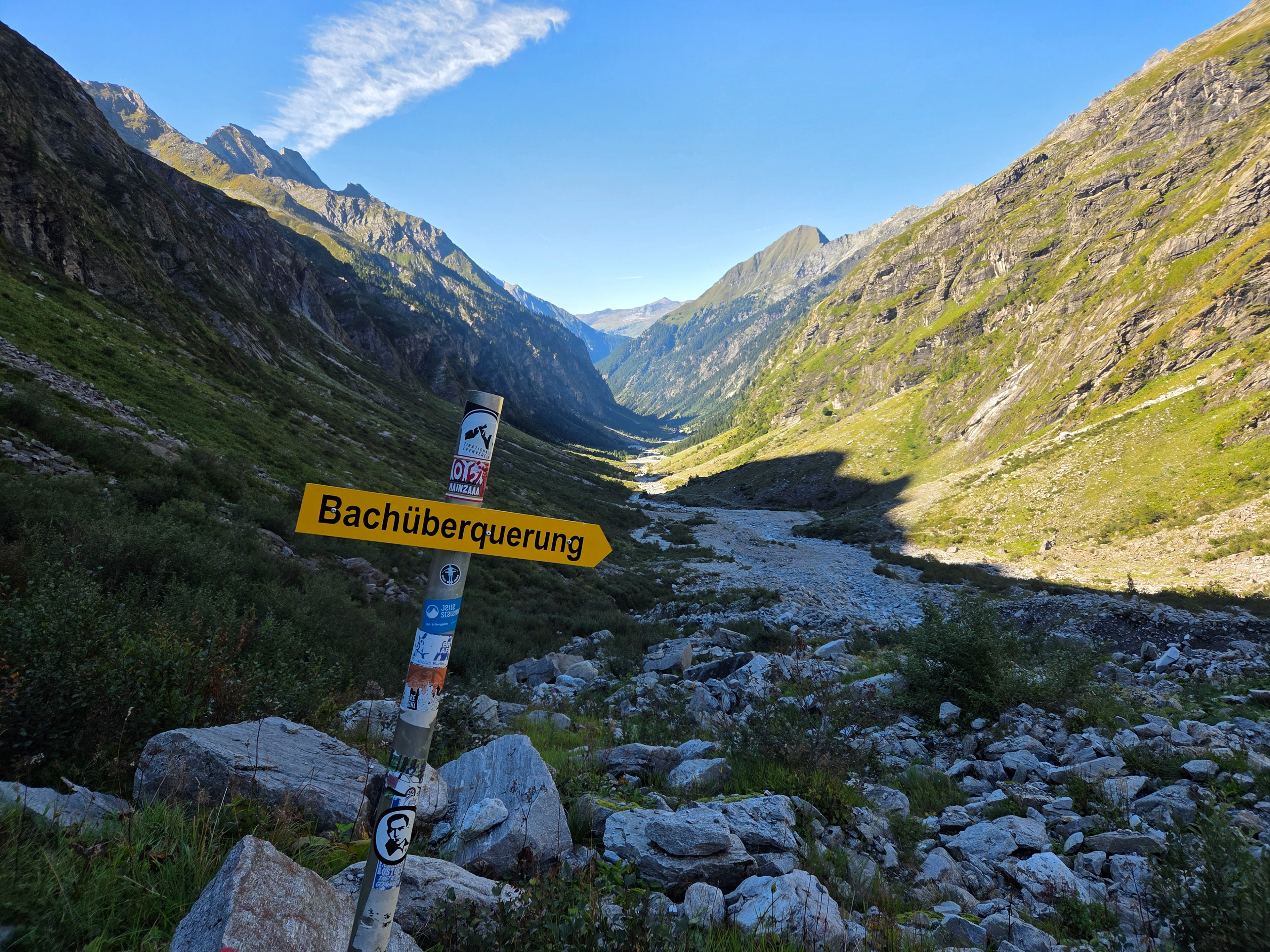
Finally at the bottom. Bachüberquerung means stream crossing! Fortunately, for this stream crossing there were bridges.
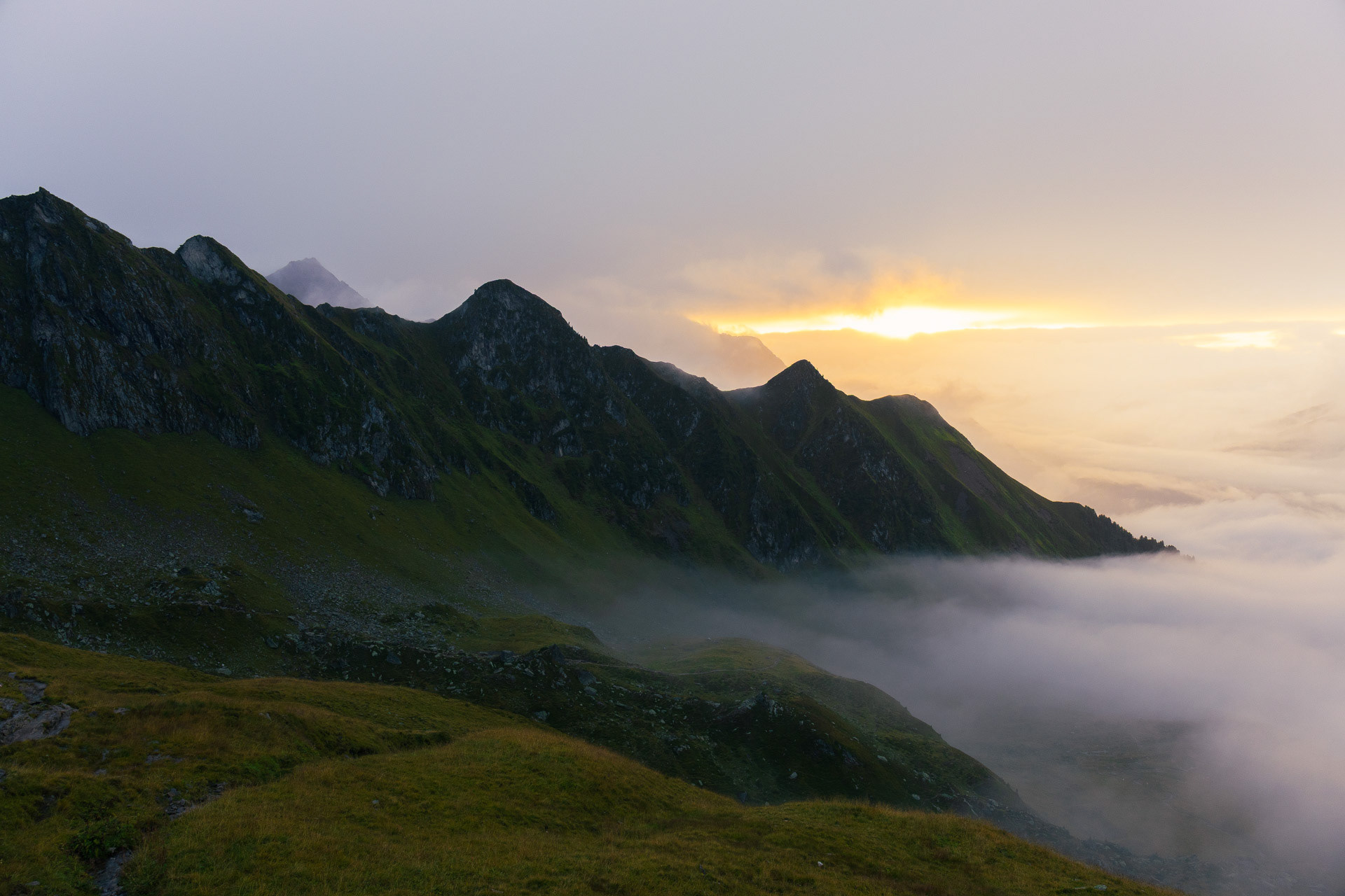
The sun is setting and is lighting up the way we came an hour ago! Notice how steep that is!
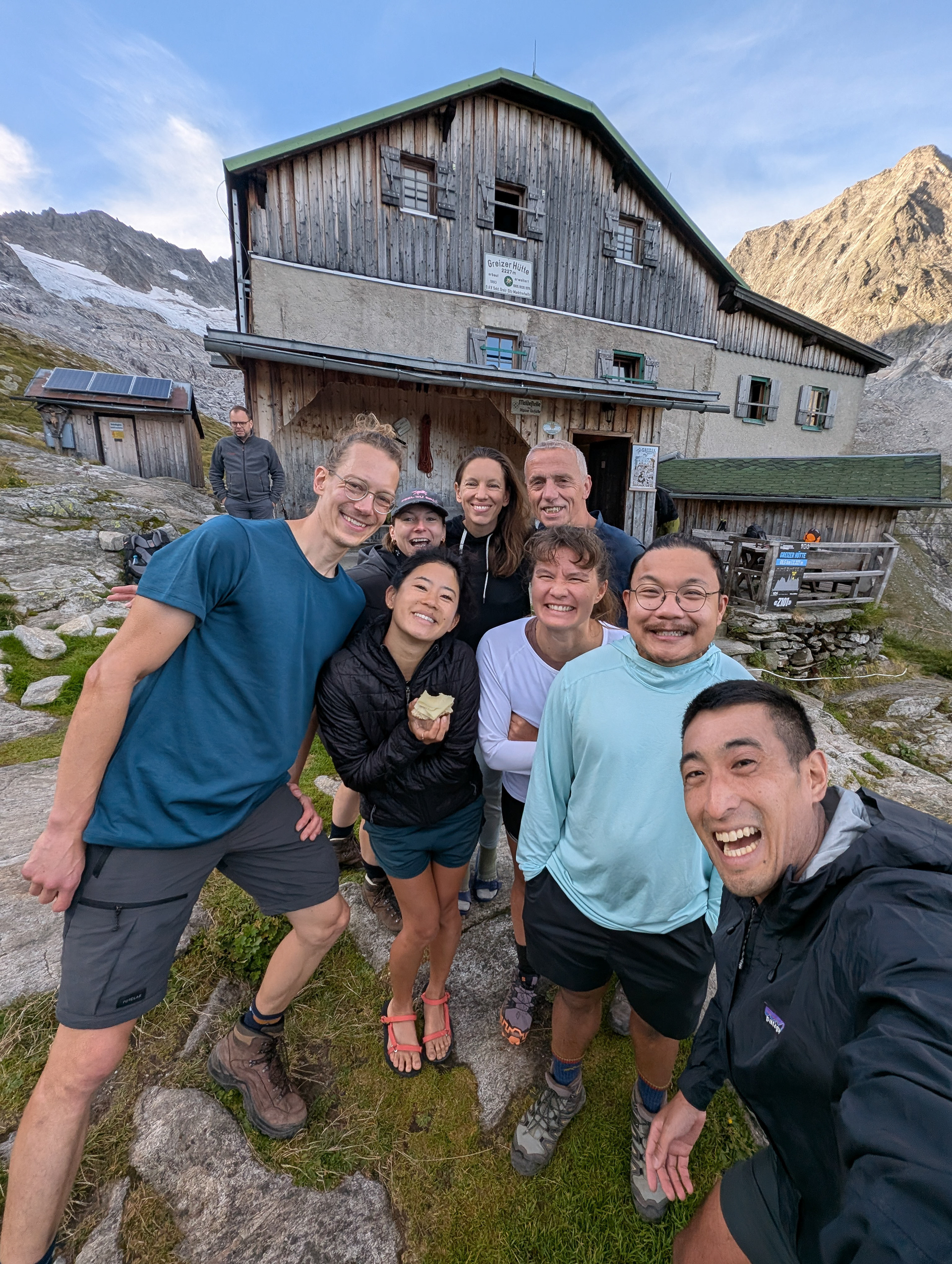
Finally Greizer Hutte in sight! It was built by the Greiz section of the German Alpine Club.
Beers as promised!
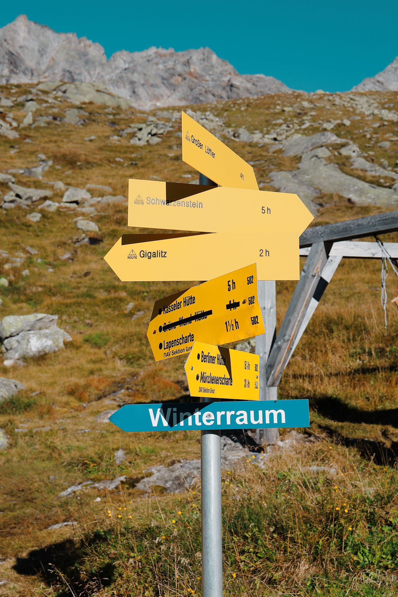
The signs at Greizer. The Gigalitz peak is 2 hours from here which means a 4 hour round trip from the hut.
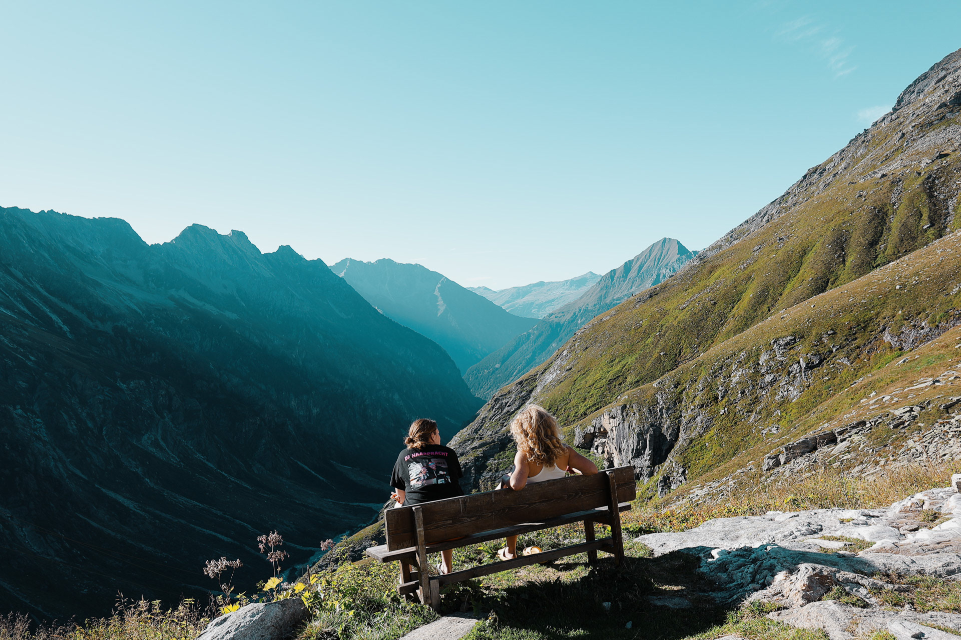
Our fellow hikers at the valley bench. Don't worry, we'll get a turn later too.
We went outside after dinner to enjoy the sunset. We did a little debrief of the day and I look back and I see this guy with a Fujifilm X100VI so I'm like could you please take a pic of us (with Morgan's phone) and we were not disappointed! PC: Jeff
This might be my favorite picture of our group! Shoutout to Jeff!
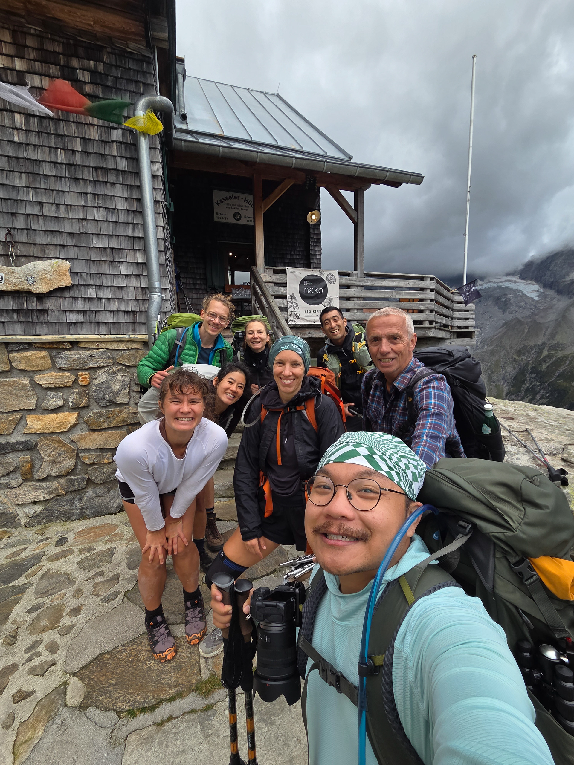
Over the Lapenscharte , down into the Lapenkar , to the Elsenklamm (rope safety), and on a fairly level path to the Kasseler Hütte (the path over the Schuhscharte, still marked on some hiking maps, is no longer accessible due to a landslide, danger of falling). Ascent 650 m, descent 700 m, walking time 5 hours. - Wiki
Our sign pic with Greizer. For this day we decided that we would do an extra hike: Gigalitz Peak which is an extra 4 hours. Eva and Einny decide to stay back and meet us at the path.
The bench in morning light.
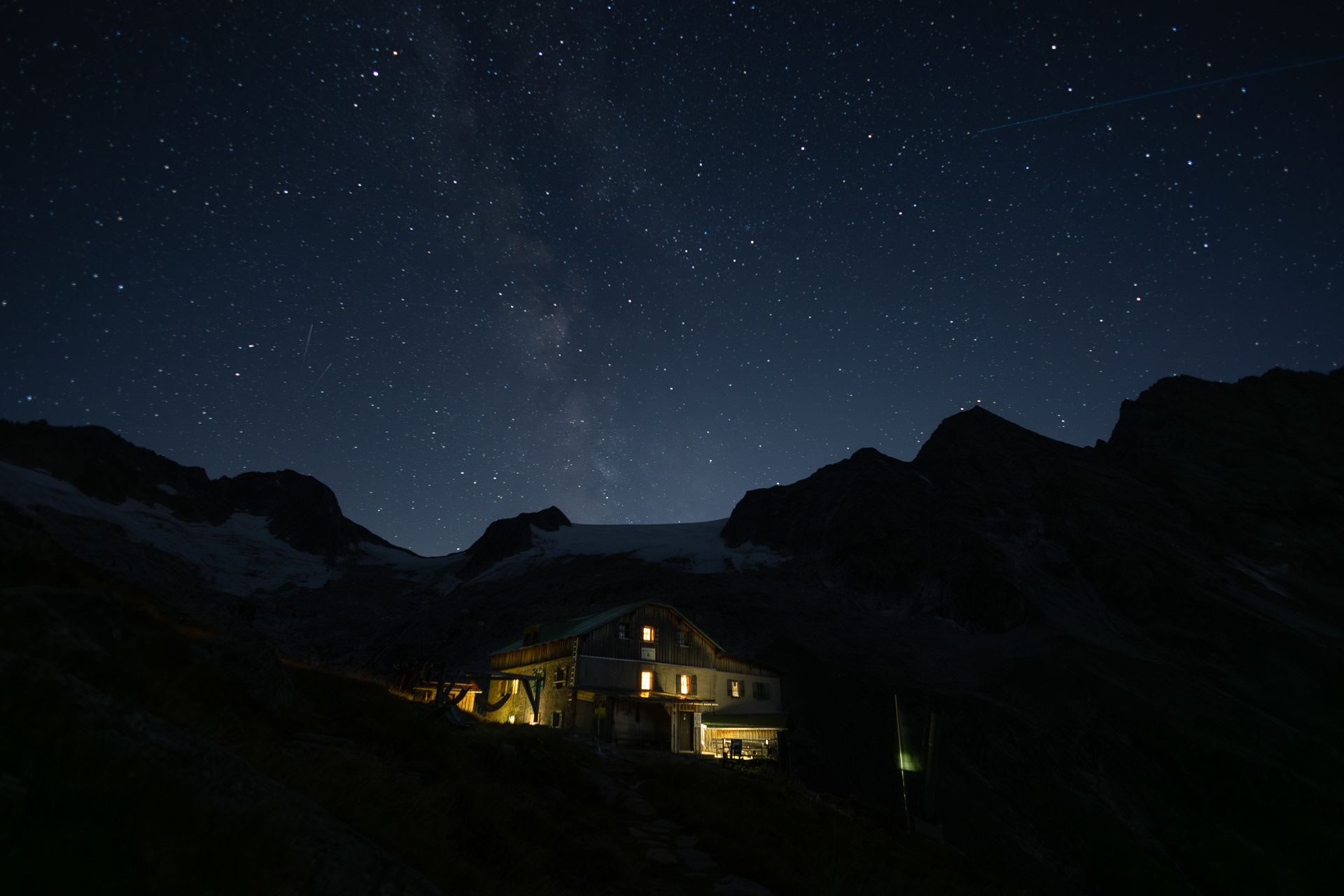
Greizer Hutte at the bottom, still in the shadow of the valley. This hut has been the hut closest to snow on the glacier. You can definitely feel it too! I did feel it as I was close to the open window in the room and only had one blanket (I was too tired to get another one in the middle of the night).
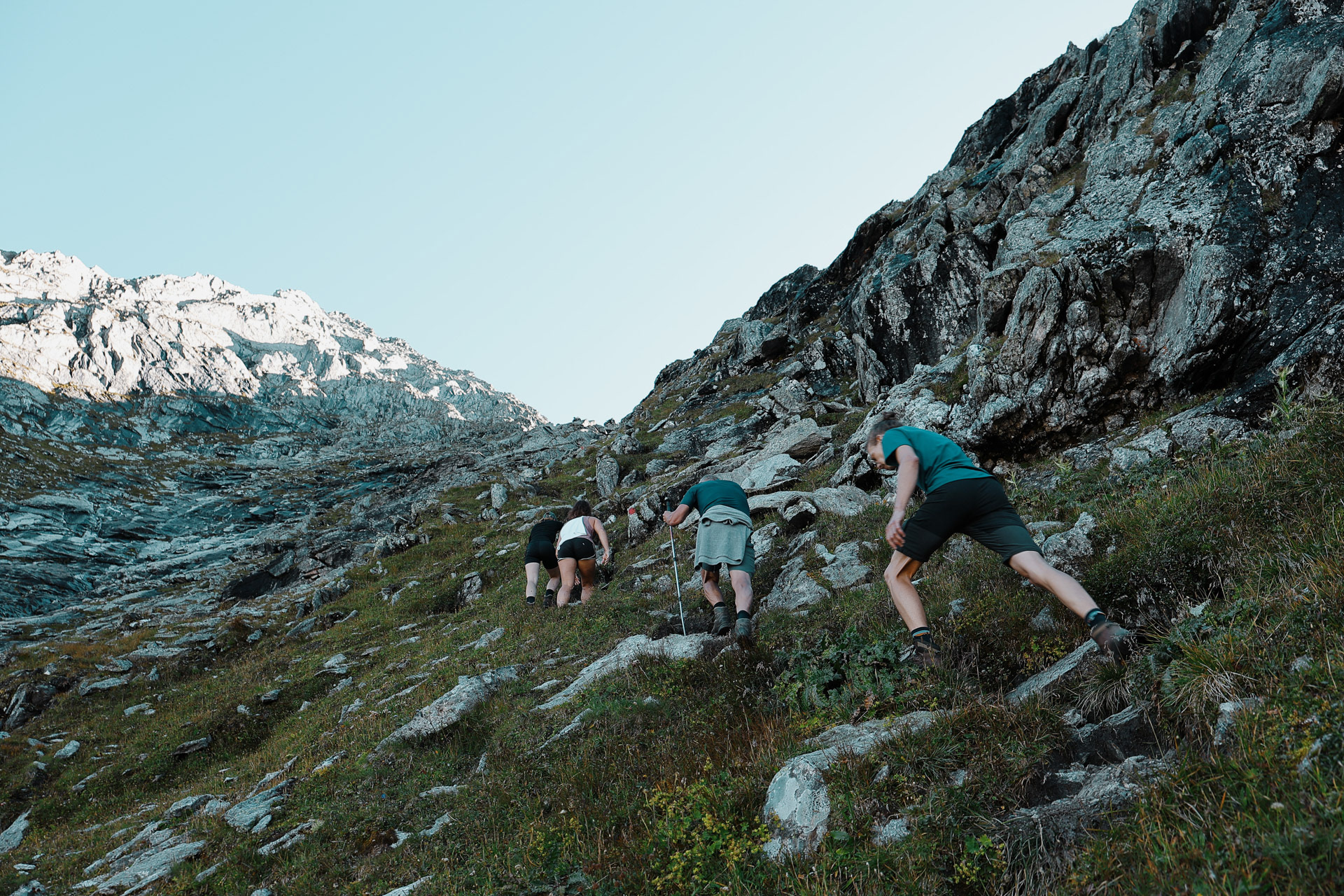
Headed up to Gigalitz Peak. On this trail I had a couple of panic attacks! I think that the weight of my pack was weighing heavy on me (pun intended). Ironically, we left our packs at the bottom of the trail. Looking back now, I think that the lack of stretching after hikes was a bad idea and I could feel my legs dying. This hike also had extreme elevation and some cliff climbing, and the wind did not help. I got to a point where I was like: okay either I wait where I am and miss the peak or suck it all up and just keep going. So...
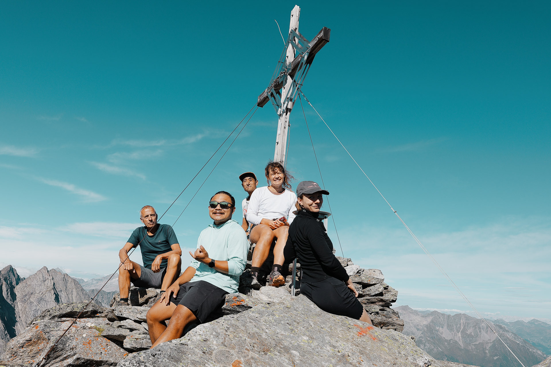
At the top of Gigalitz Peak is a cross, just like many other peaks. There were already a couple of people here when we got here and we asked them if they could take a picture before we headed down!
Had to do it to 'em! PC: Han
The type of flower that inspired a poem!
We then meet up with Eva and Einny who have been waiting for us for a while (they were about to leave a note: minus 100 points for all of us who were late). We apologize profusely and start hiking again. We reach the pass and per tradition we take a quick lunch.
A view from behind everyone at lunch before we go over the pass.
At the pass. PC: Han
Crossed the pass, and here is Han welcoming us to the next valley!
Our first view of the Kasseler after getting over the pass. It's so far away!
Here it is a little more zoomed in. Unlike in stage 6, for this hike we did not have go down into the bottom of the valley. Instead, we maintained pretty much the same elevation and had go around the back of the valley!
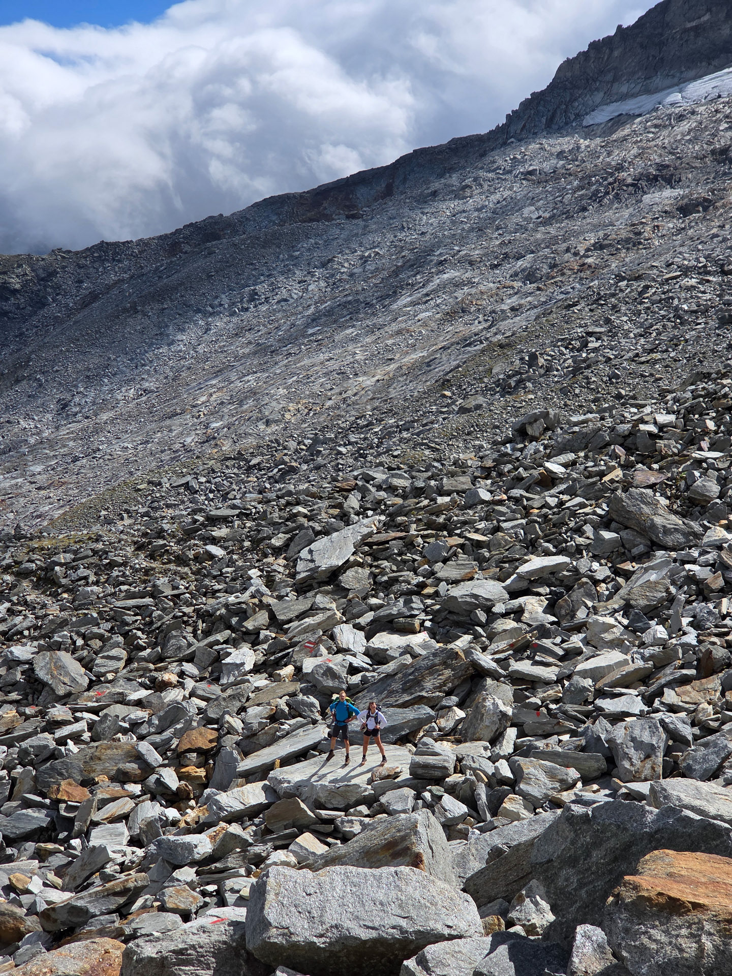
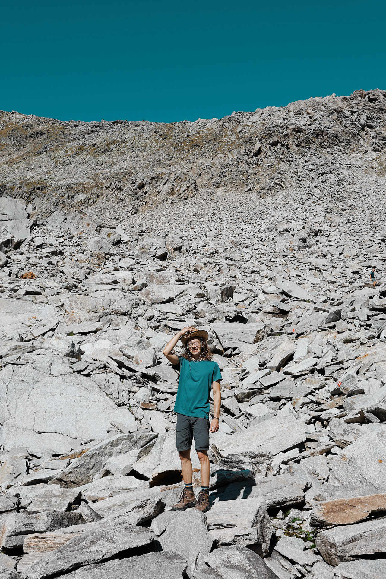
Malte and Morgan showing the scale of the rock trail. Though there are trail markers (the Austrian flags), you still have to figure out which rocks to step on, jump off of, skip, or be careful on as all of these rocks are loose. It made for a fun game though since you don't know if a rock will shake or be stable until you step on it. The person in the front became the guinea pig/minesweeper!
Nearing the back of the valley, Dan and Morgan led the way. This section had a lot of glacier melt-offs. Most of them were going through rocks that we just had to jump over. Until...
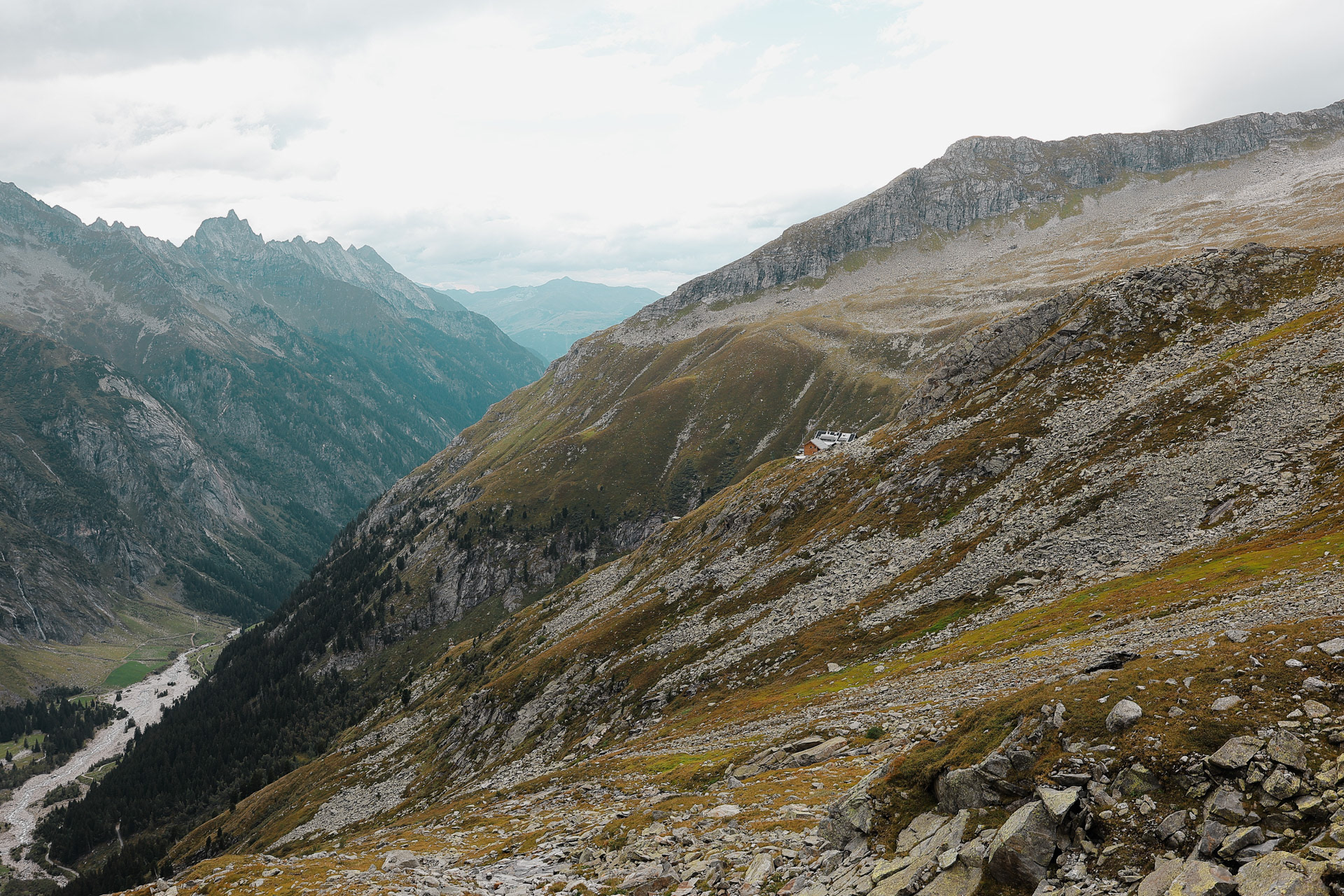
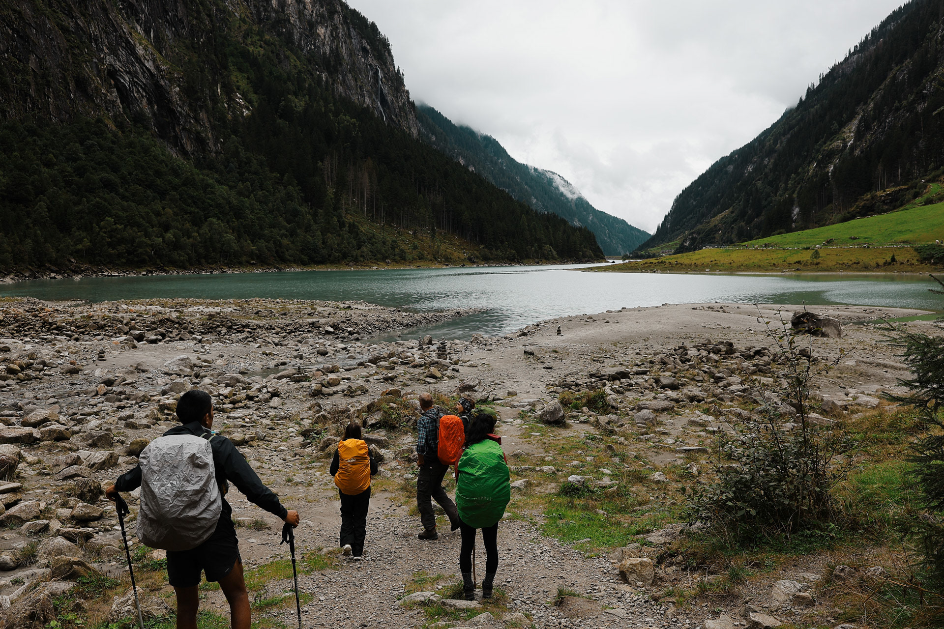
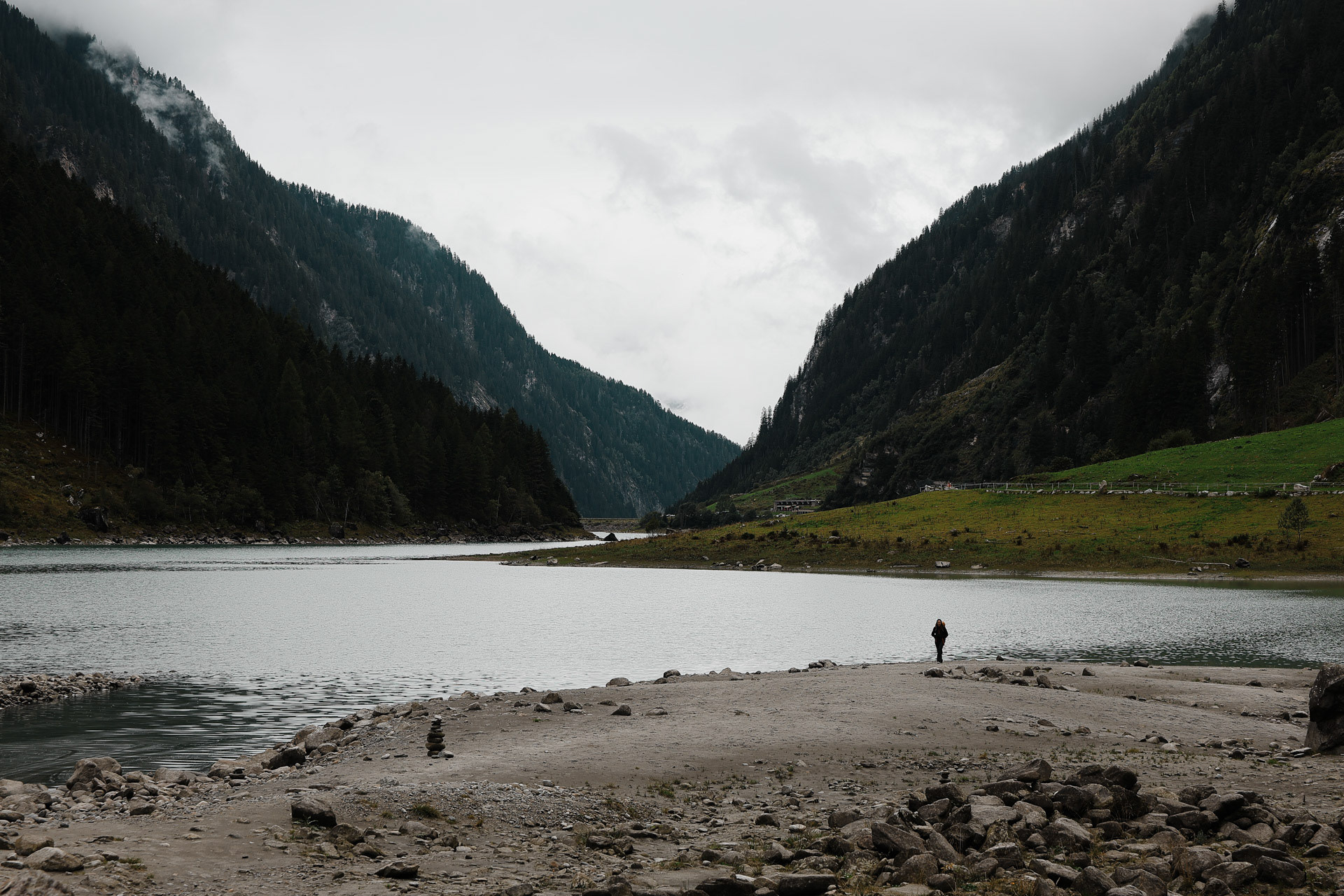
The Stillupertal subvalley. A calm scenery after what we just experienced! Everyone was a little shaken but very glad that everyone was okay. You can see Speicher Stillup or Stillup Lake in the back of this picture.
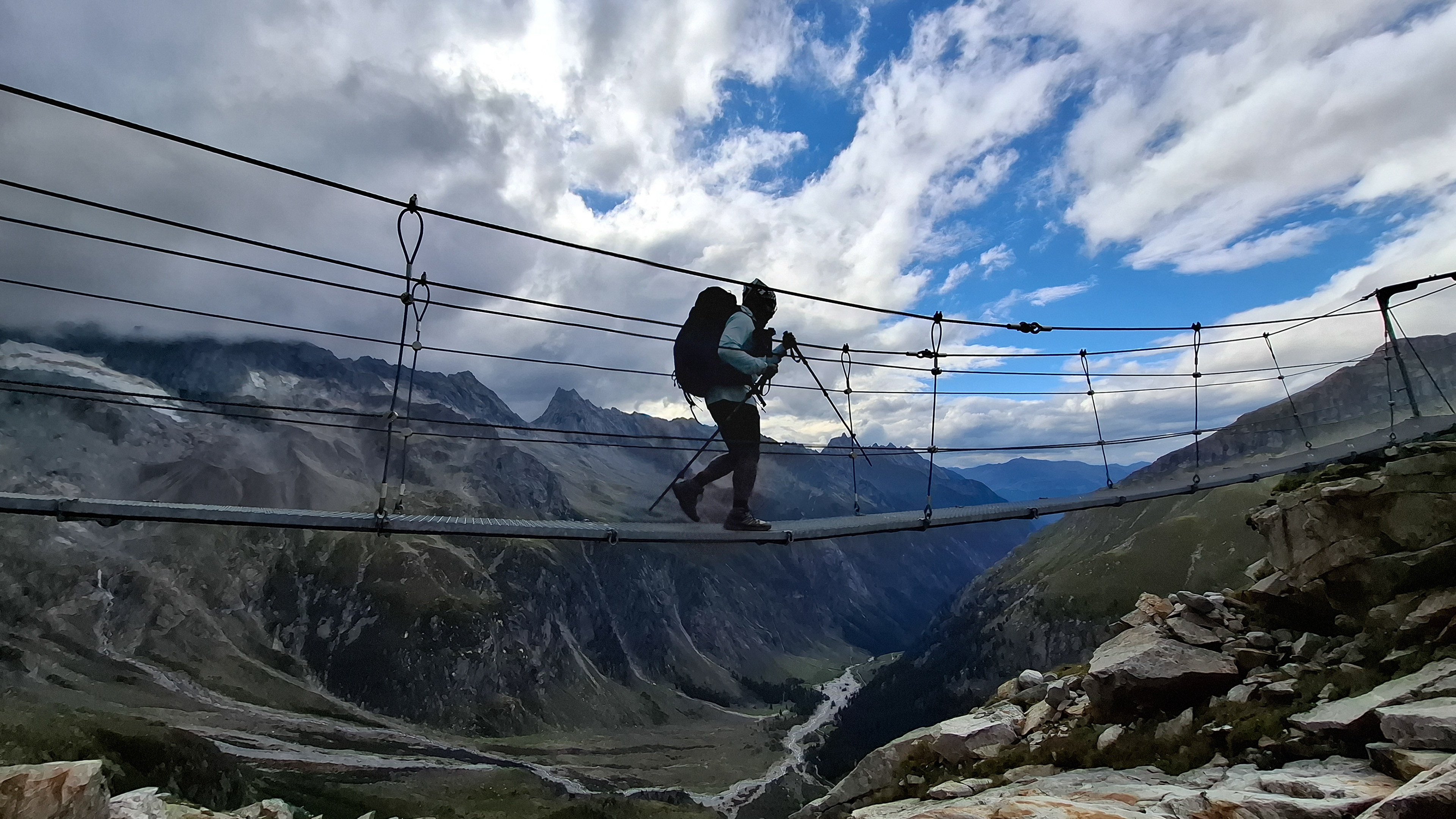
Another suspension bridge! This is constructed similar to the one by Olpererutte but not as famous probably since this is harder to get to, and there's no lake in the background. Han stayed back to take pictures of us.
Han trying his best silly pose!
Kasseler Hutte in closer view finally. The hike here was deceptively long, but maybe because we added a 3 hour hike to the Gigalitz!
Gang sign with the pic! Everyone feels great and Dan's shin and legs are okay!
Descent 1047m, distance 11.6 km - Han
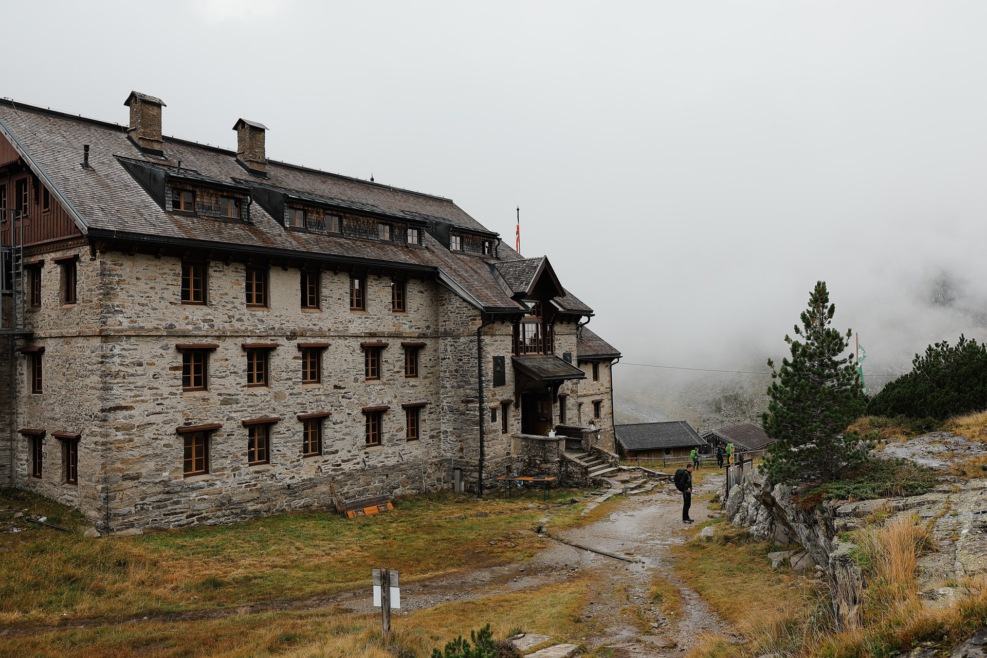
The Kasseler Hutte in morning mist.
A snack break by the stream!.
And a waterfall.

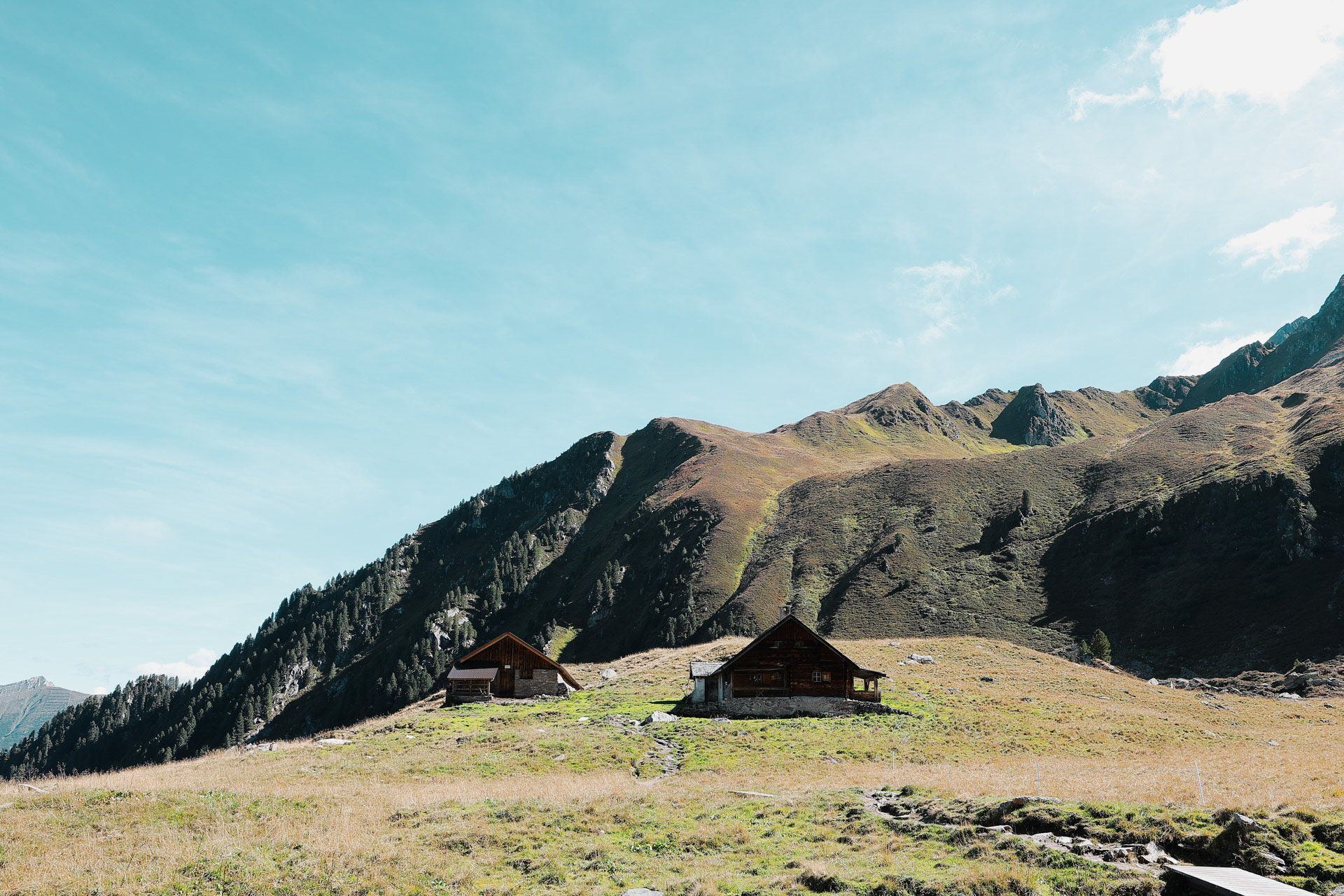
Alpengashaus Stilluperhaus is a hut/house in he middle of the valley by a stream. You can drive to this one!
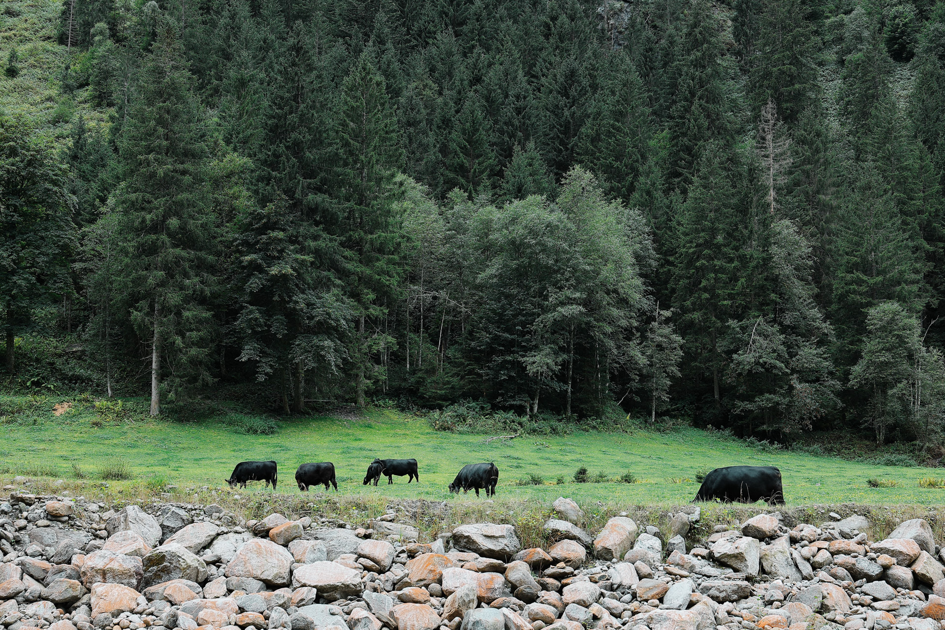
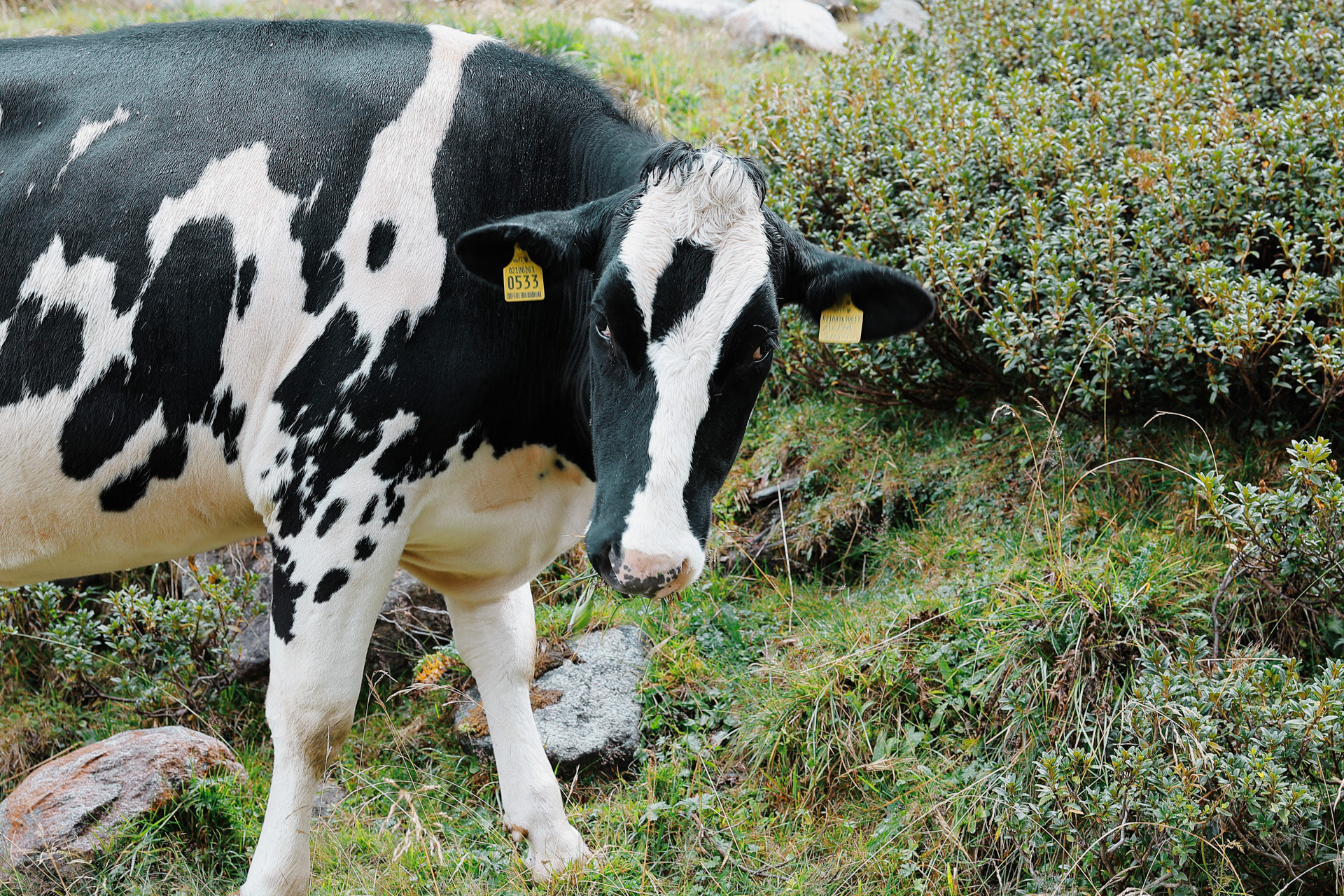
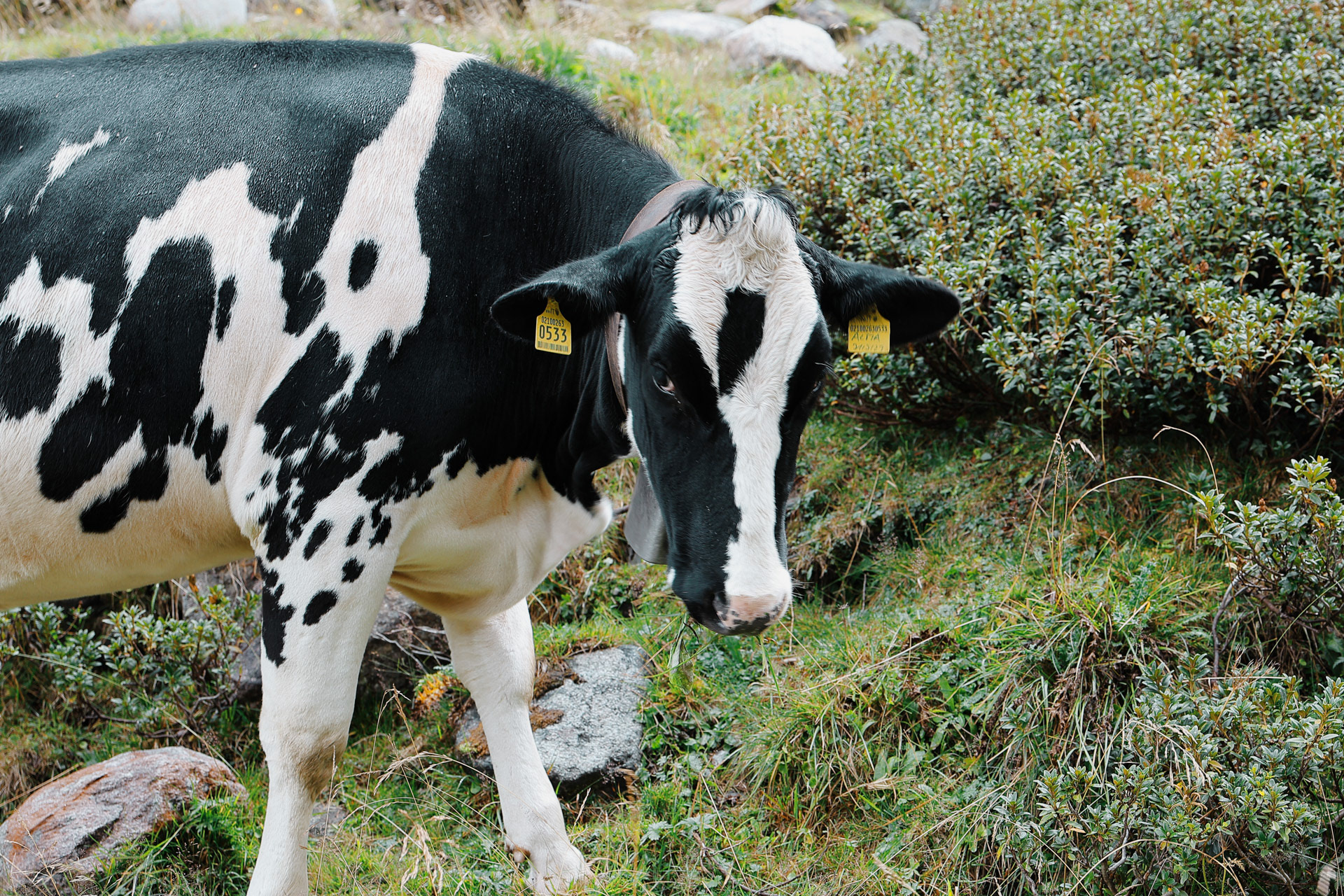
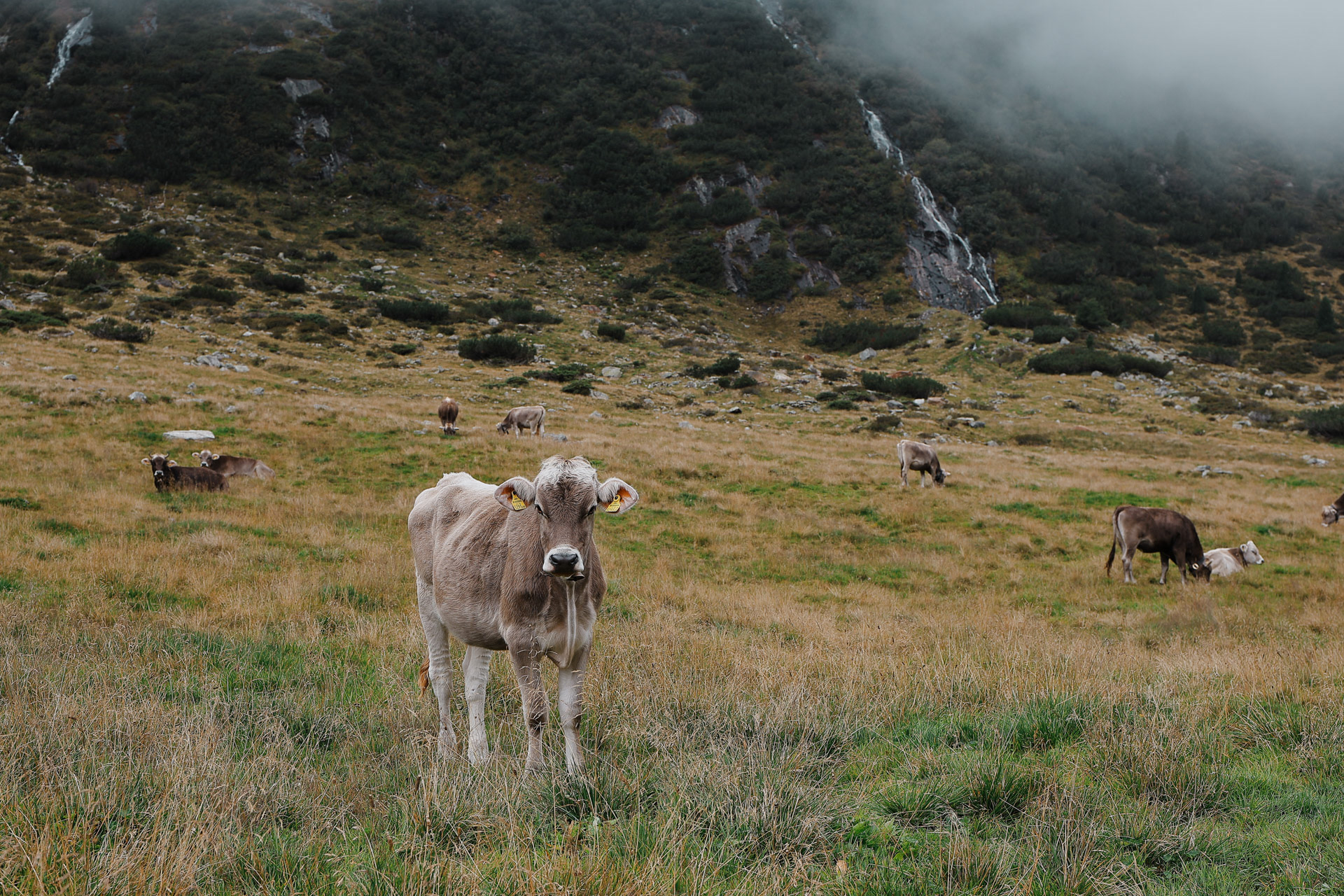
So... I haven't seen any black cows and now they're all segregated by themselves??? Hmm...
Speicher Stillup is one out of five artificial lakes in the Ziller valley. On the BHT, you get to see two of them, this one and Schlegeis on Stages 2-4!
Eva at the lake!
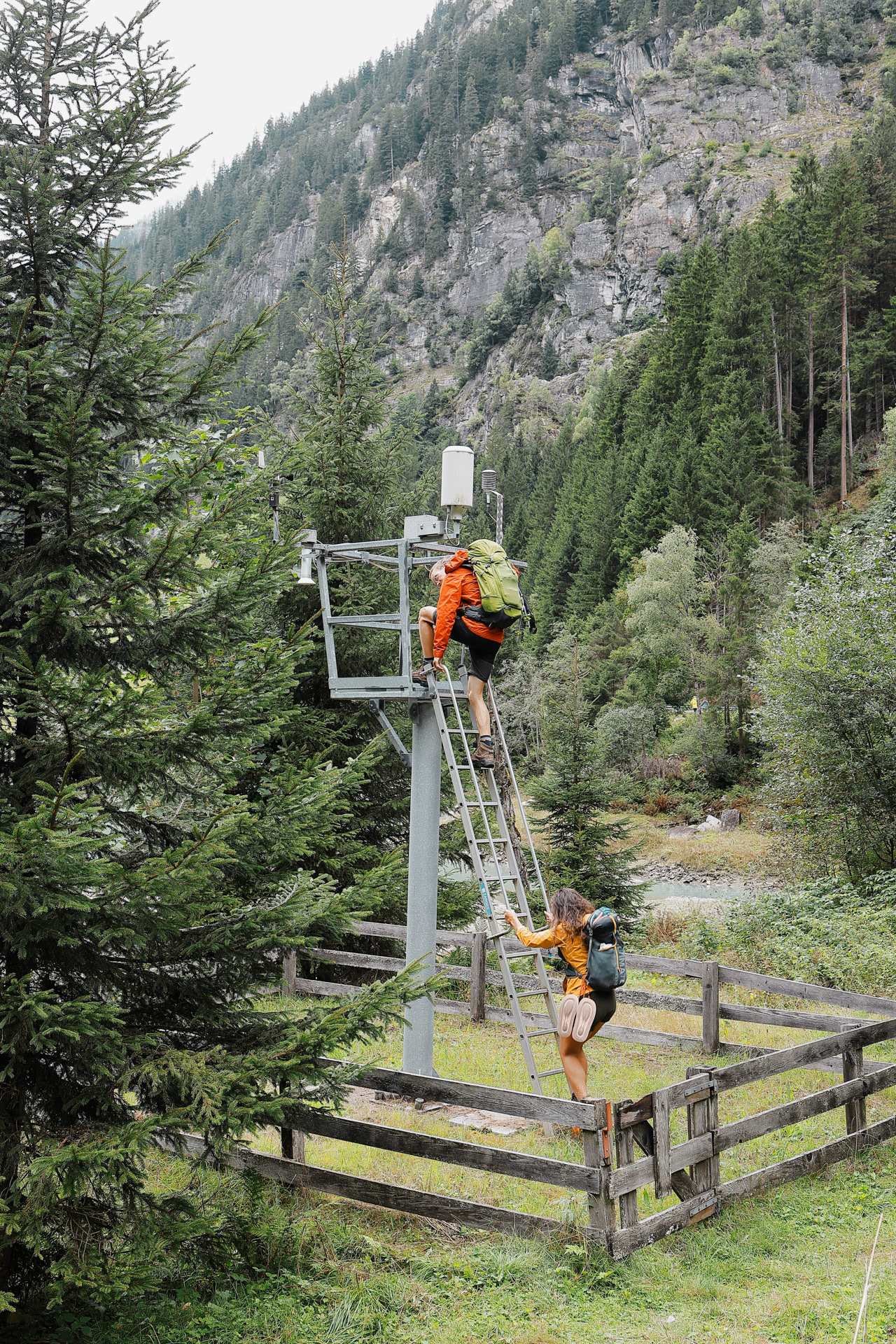
Malte and Morgan found a tower to climb by the lake, of course they're going up.
On the lookout for truants and delinquents (like people who hang on bridges with one hand).
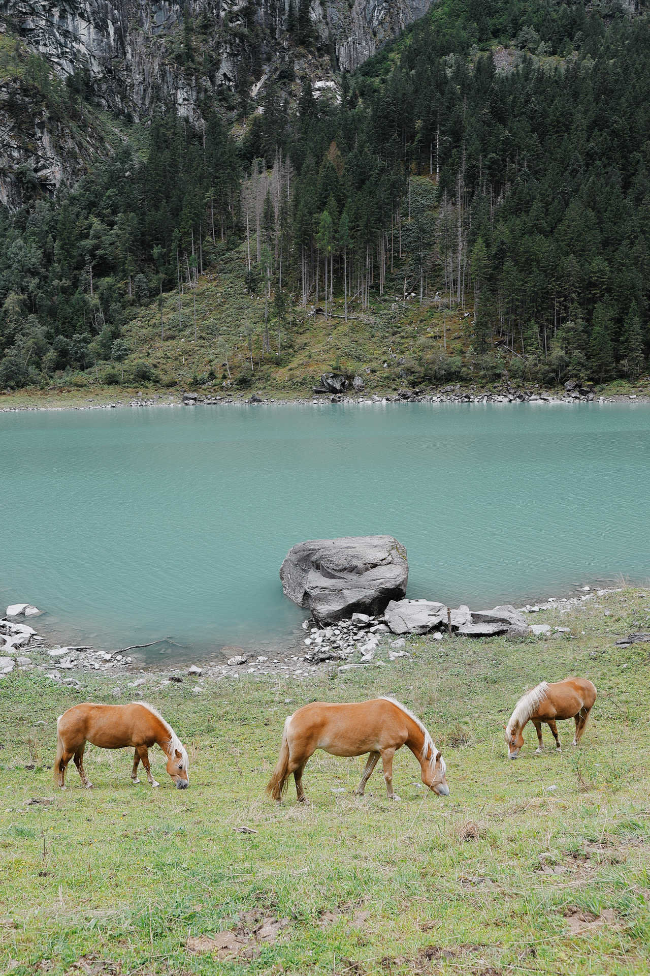
Horses by the lake! Our first regular-sized equestrian friends.
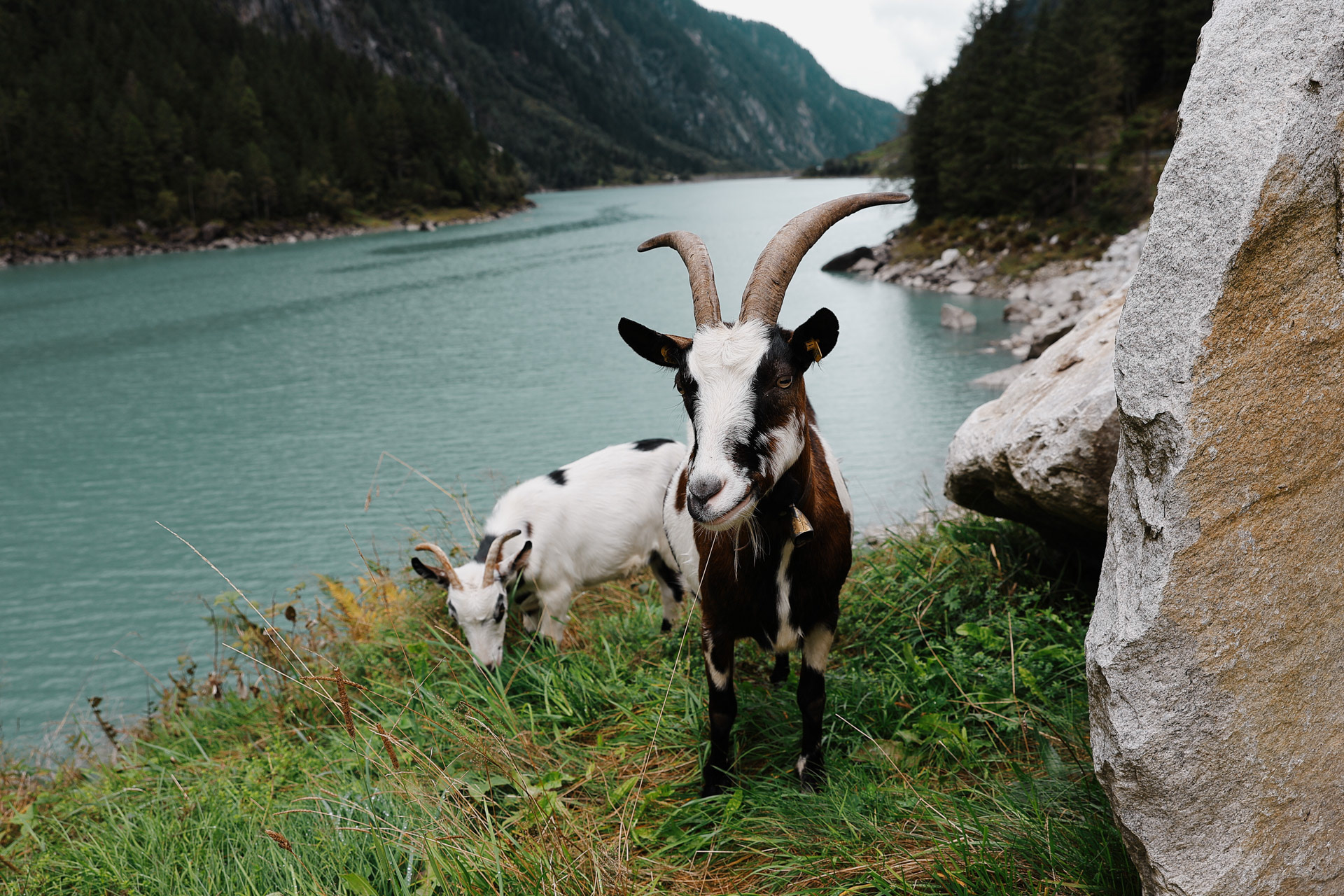
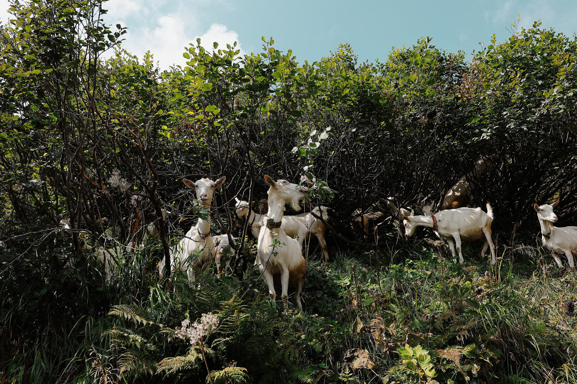
Followed by: goats!
This herd (unfortunately no fun name for a group of goats) was just chilling by the road and attracting a lot of tourists (including us of course).
This one literally "rose above the herd" by climbing on top of a rock and of course getting all of the attention. Great at posing 10/10 would shoot again.
A disappearing waterfall.
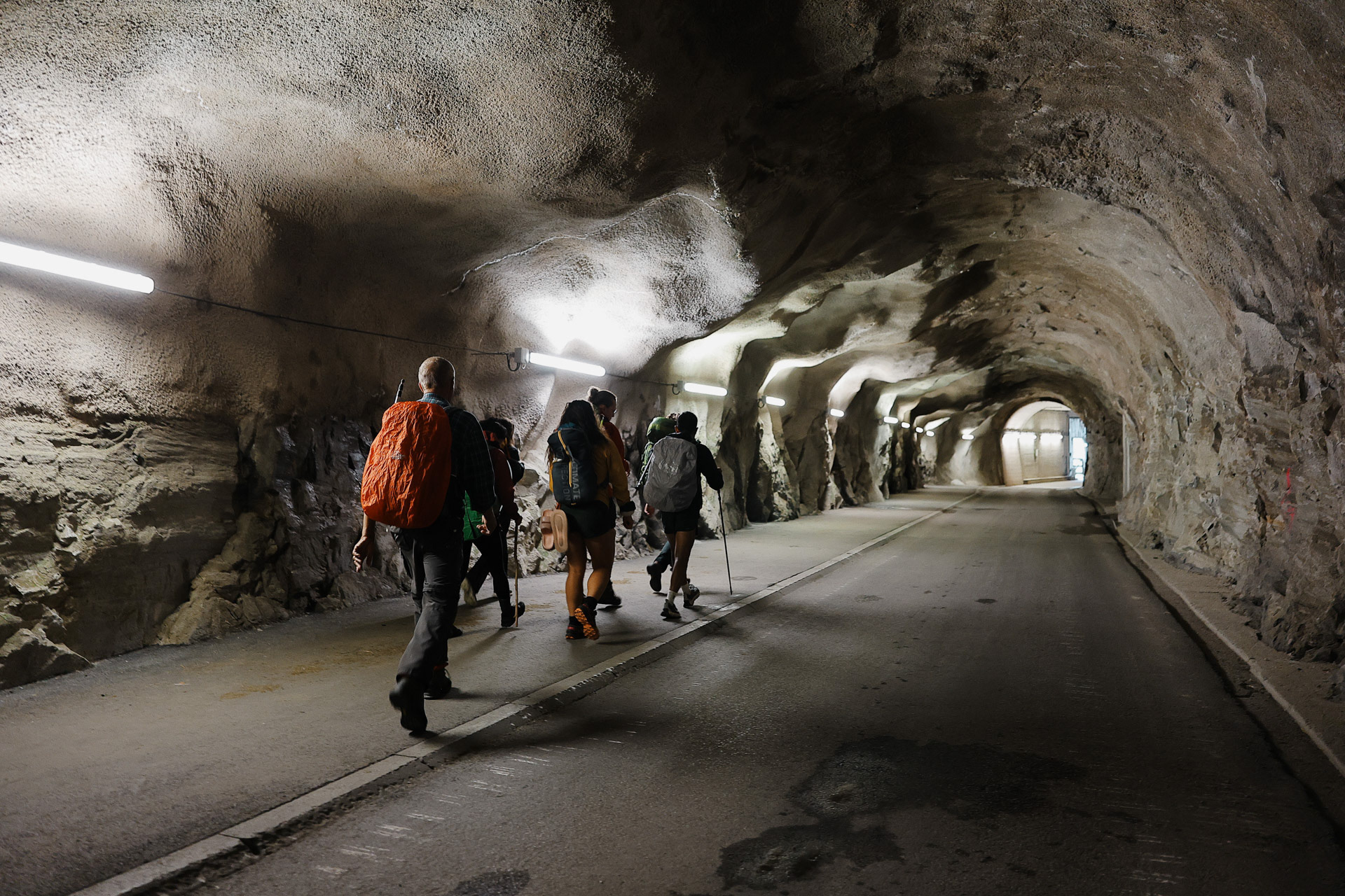
As you go down the valley, you go beside the road for cars. Here is a tunnel where there's only one lane. We weren't sure how they figure out who has the right of way before entering the tunnel. Signal lights perhaps? Or do they just have to reverse if there's 2 opposing drivers in the tunnel?
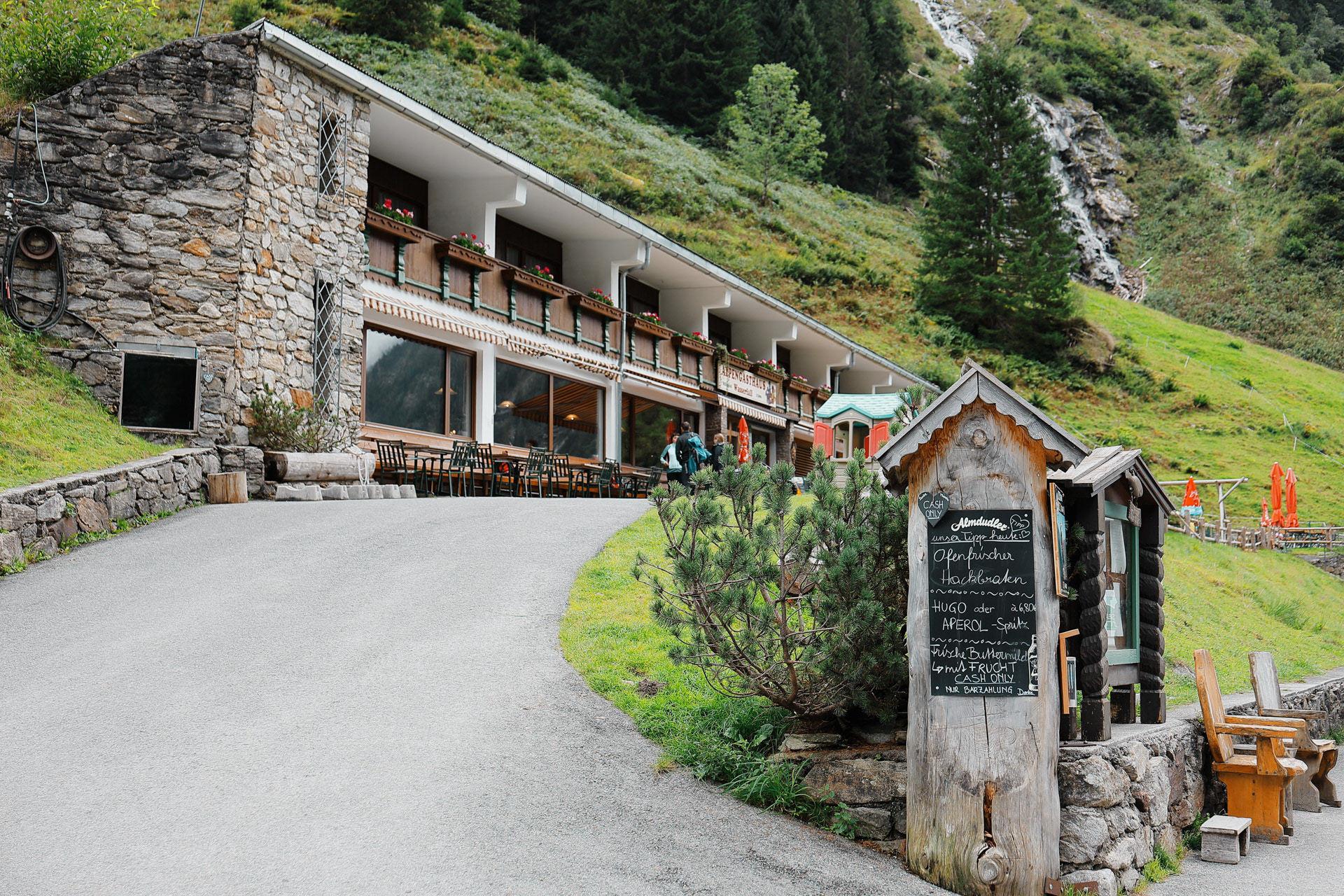
Alas we get to the final destination of our octet! Alpengasthaus Wasserfall, or Waterfall Alpine Guesthouse as you can probably guess, has a bus that runs to Mayrhofen. We decide to grab a quick bite since it was an hour before the next bus runs.
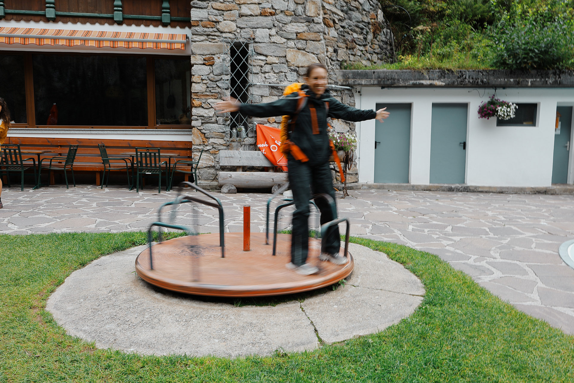
Eva having fun at the spinner!
The Fellowship's (no Boromir) final picture. I ended up writing a poem about our group and you can check it out here.
Getting back to society after 8 days of non-stop hiking and dead legs is such a tease and before we got up on the Ahornbahn, I was seriously looking up hotels because my legs and my spirit are dead at this point.
I was dreading the short 2 mile hike from the Ahornsee to Karl-von-Edel-Hutte. I tried to hide my exhaustion as much as I could, and continued on and persevered. Though it did start raining right after we got off the train, which did not help my mood! I was feeling a little cranky so I hiked a little bit behind the group.
And after two hours in the rain...
L-R: Morgan, Eva, John, Andy, Einny, Dan, Me. These two are such characters. We actually met John on the way to Greizer and he's only the second American we met on the BHT. He's from somewhere on the East Coast. Andy on the other hand is from Denmark and we also met him at Greizer. He has the dryest humor when in a group but he warms up when you talk to him one on one.
A few hours later the sky cleared a little for this view. Worth the rain and the hike? You tell me.
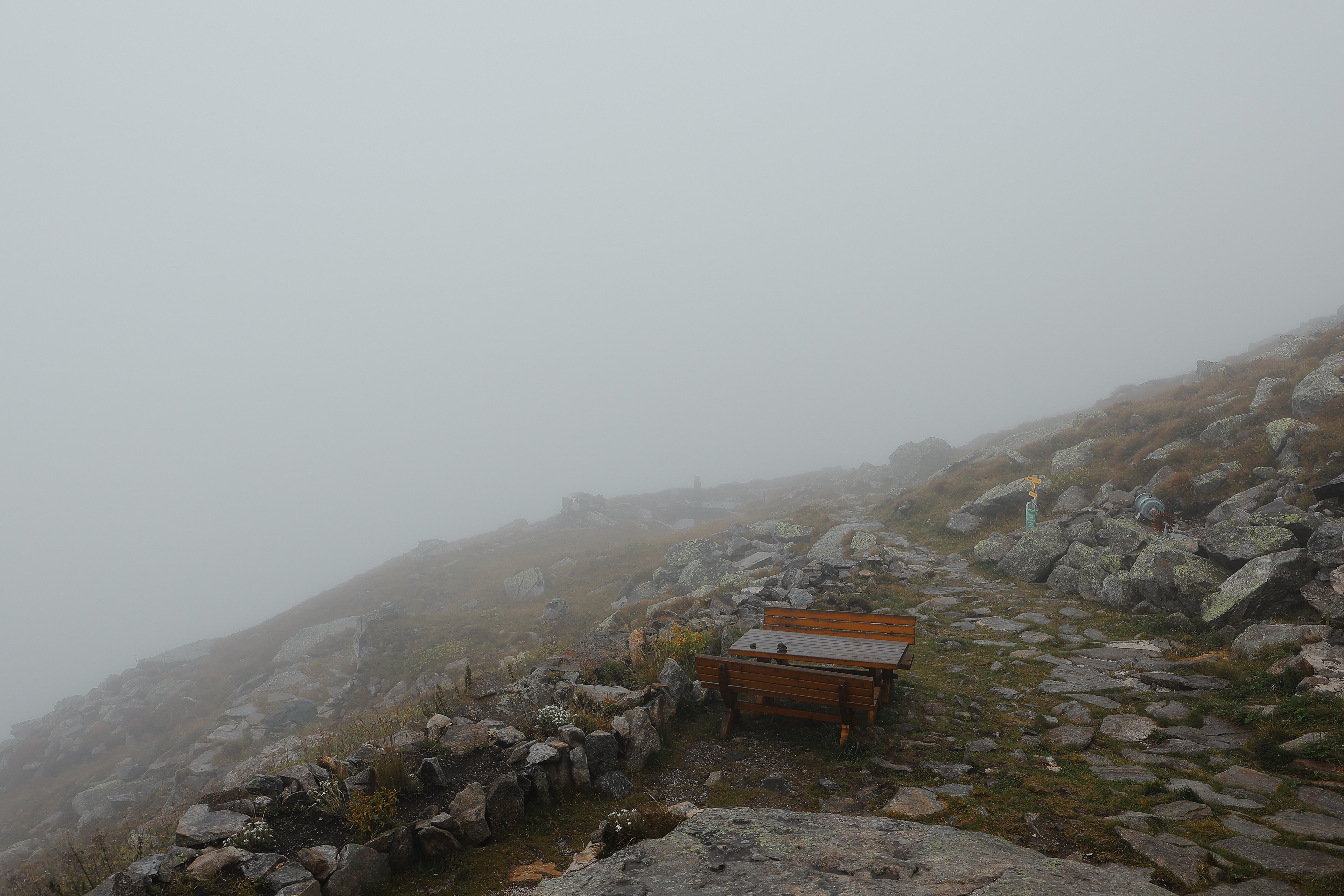
Either by cable car (Ahornbahn), descent from the Edelhütte 300 m, or on foot via the Föllenbergalpe and the Gasthaus Alpenrose to Mayrhofen, descent 1600 m - Wiki
We were greeted by the sun slowly bathing the mountains in glorious light and warmth, a great opposite to how we arrived yesterday. EDIT THIS
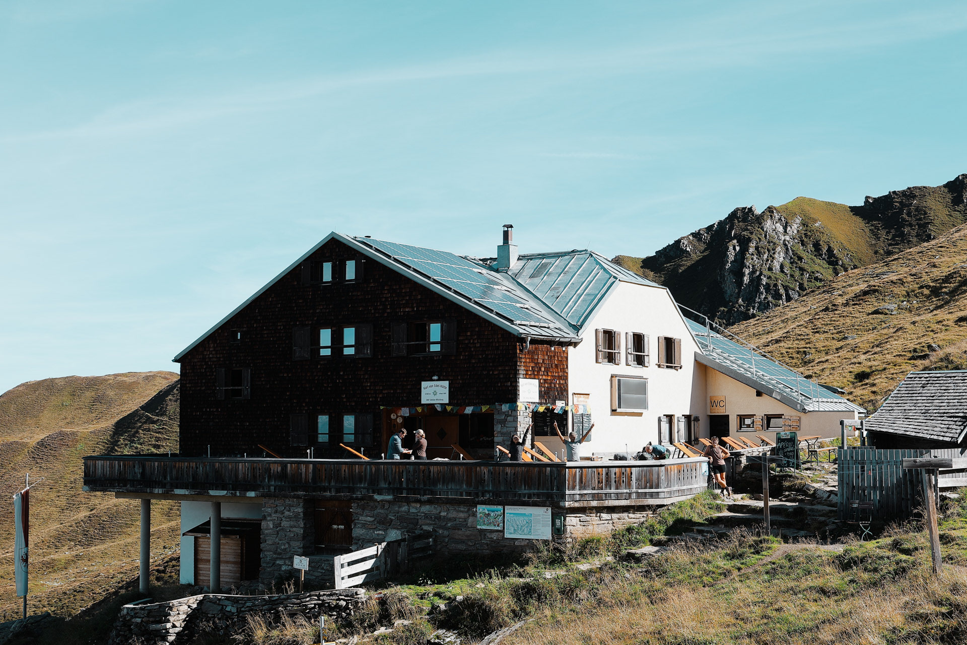
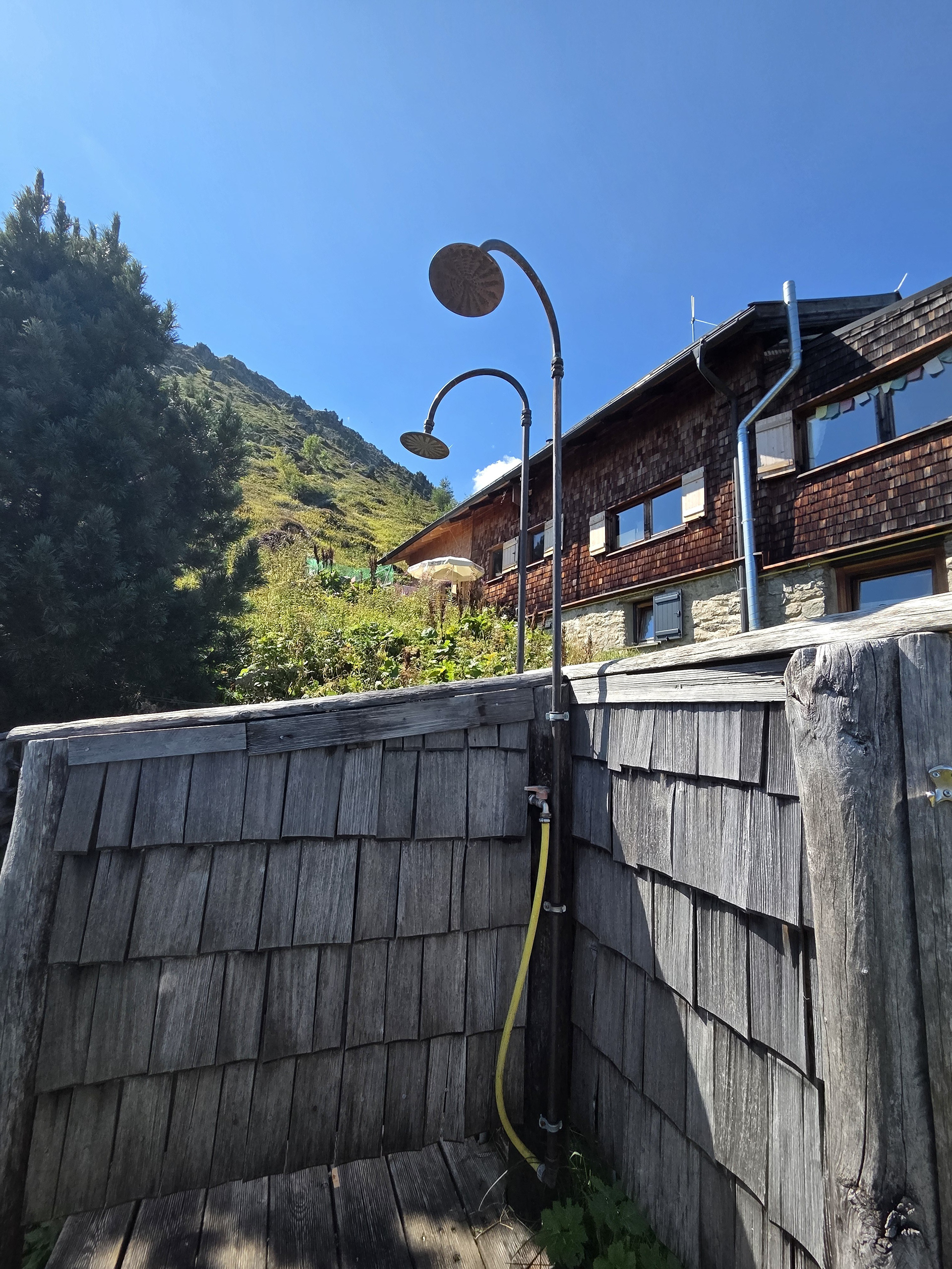
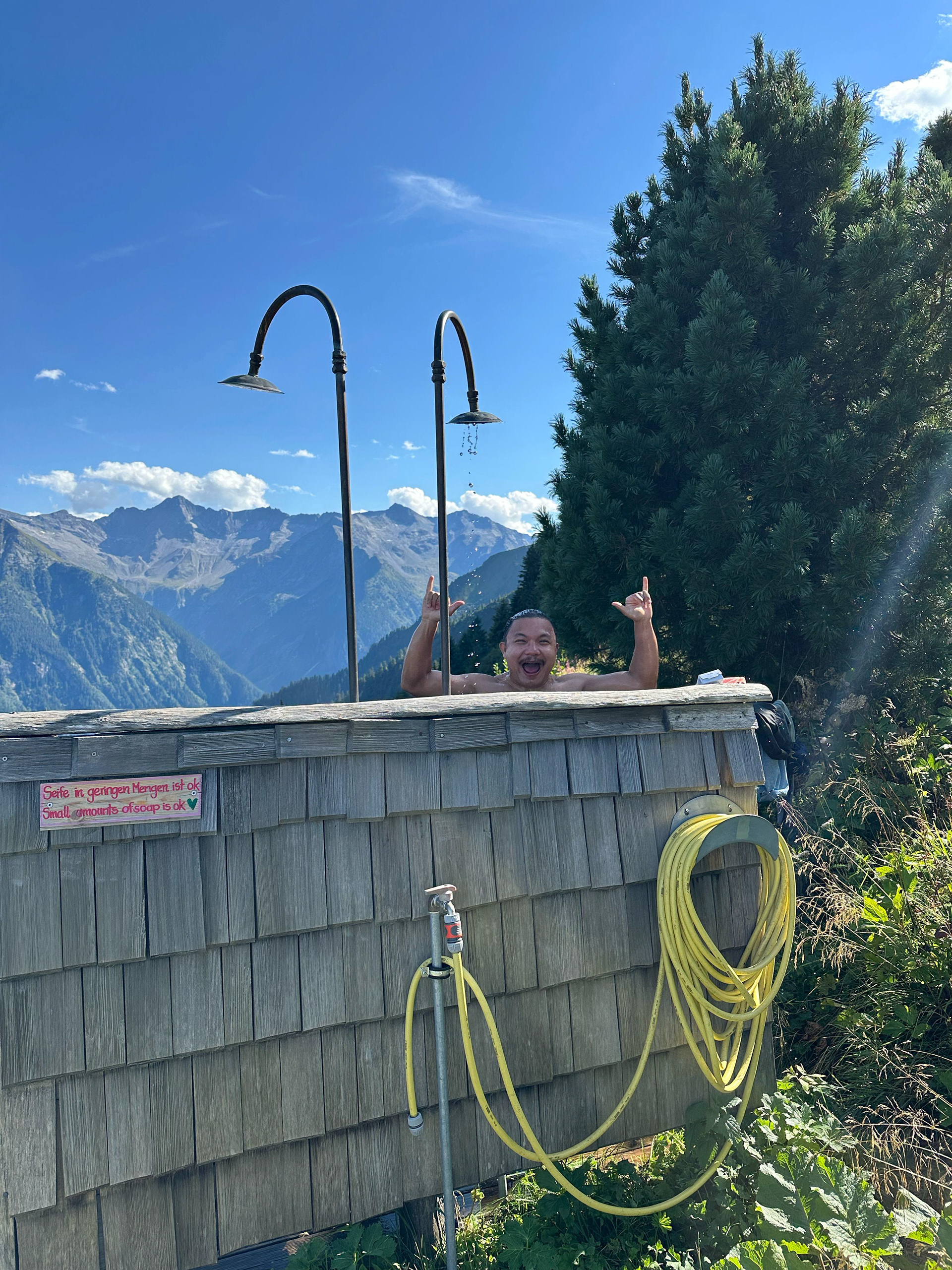
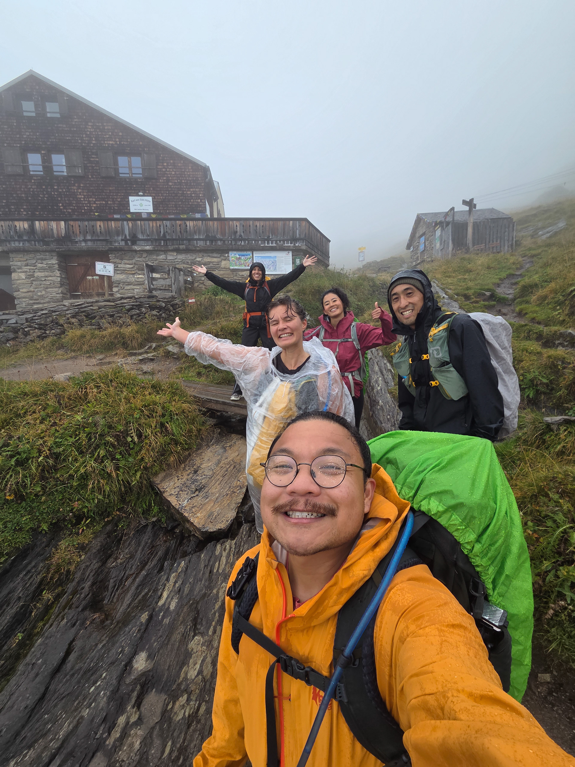
Karl-von-Edel-Hütte in its clear-sky-glory! The outside shower (that I used in the rain the day before is in the shed to the right).
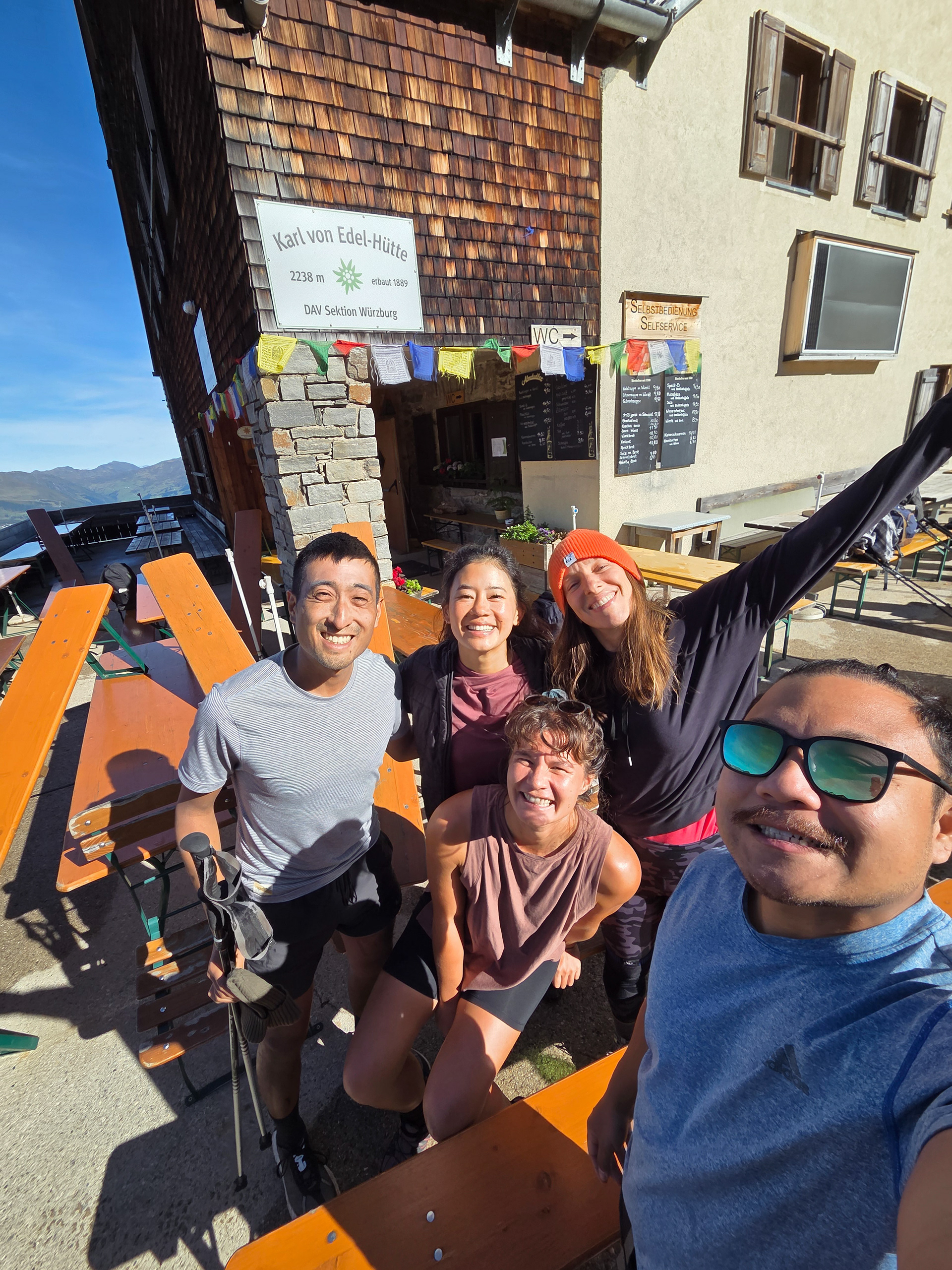
Our last hut-sign picture.
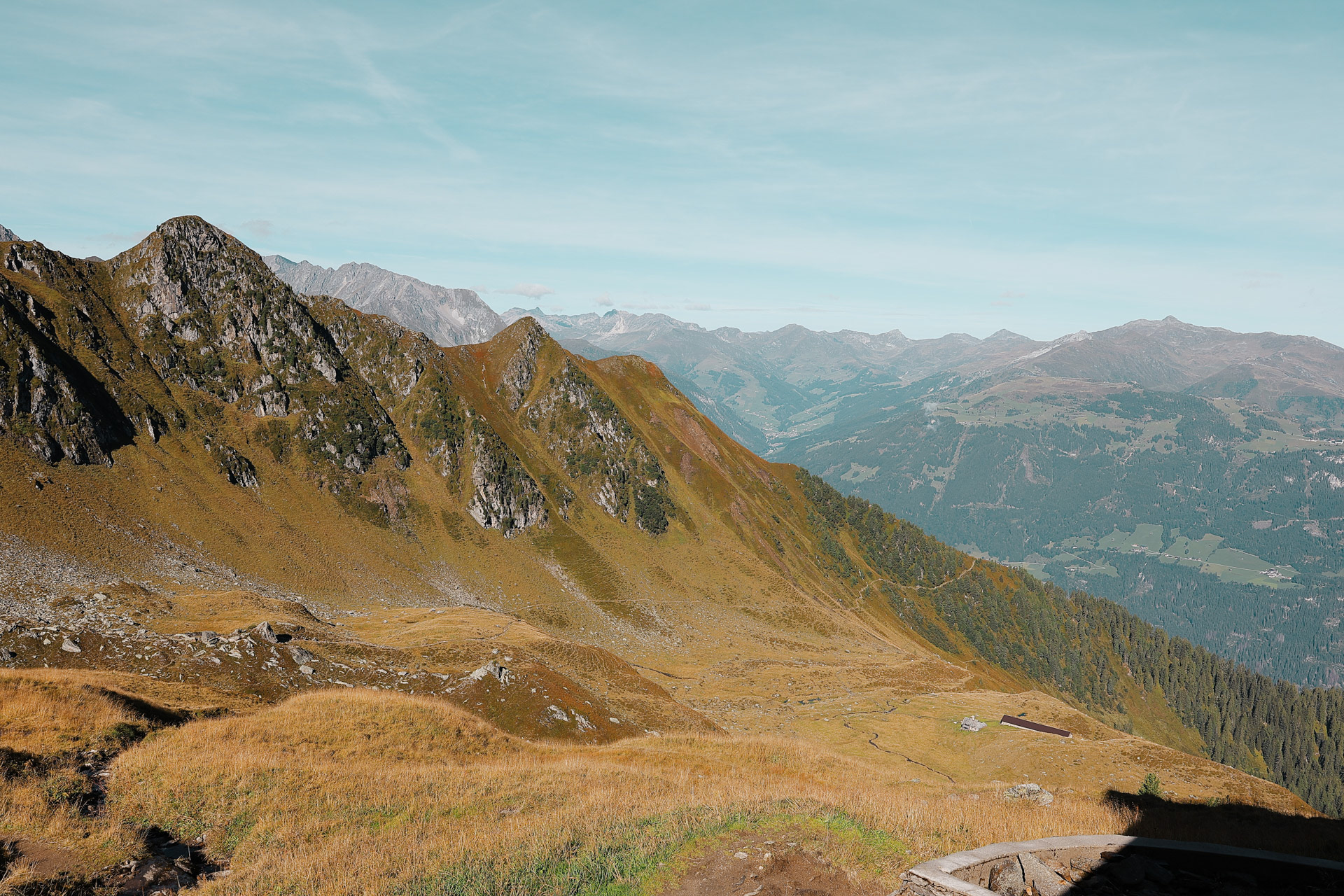
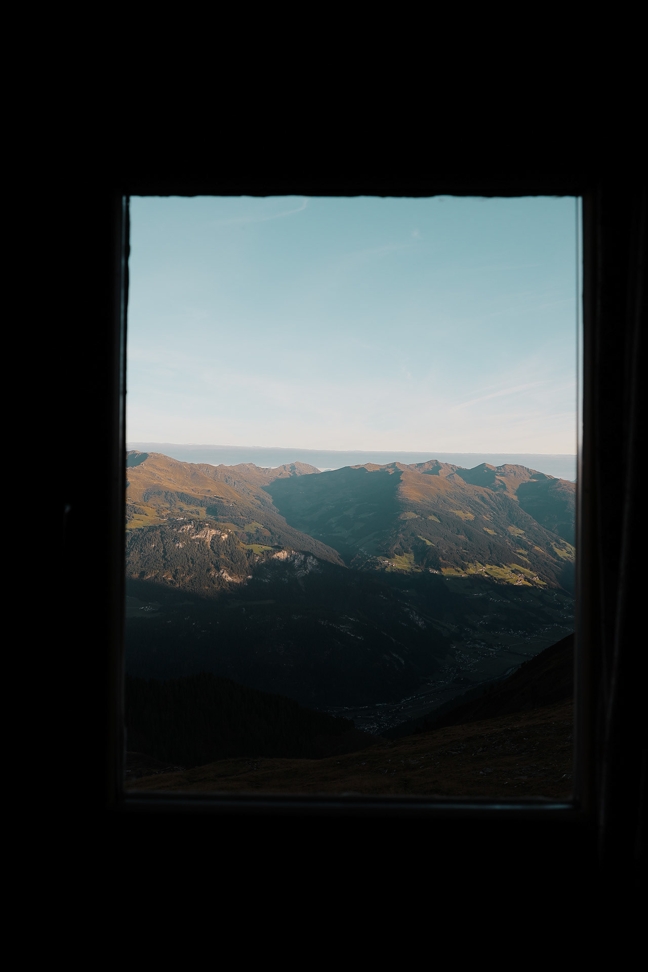
What the view looked like without the clouds and rain. The as we descended, there were tons of people hiking up to Karl-von-Edel-Hütte, the most we've ever seen. Probably because of how accessible it is with the Ahornbahn.
Morgan enjoying the view above before our last and final descent.
Instead of going the same way down, we went on the other way that we didn't take yesterday. And we found...
...this LOTR looking mound area with small pond. Of course we climbed up to the top!
Attempting shadow pictures at the top.
New rap album from the famous rap duo EinGan titled "From the Huts to Streets". Their group name is unrelated to the Deutsch word eingang meaning entrance.
Some final goodbyes to our other friends.
Mountain farms will never be not cool. Everyone keeps bringing up Sound of Music but I could never stay up when watching it. I've tried 5 times and I fall asleep in the first 20 minutes.
Ran into Jeff again who we saw at Greizer and took an amazing picture of us! He hiked down to the Floitergrund valley and then went up this way instead of through the mountains like us (though we went through the valley in Stage 8).
Stillup valley. You can can kind of see the way we went through on Stage 7 from the pass on the right and the level area in the back the valley.
We saw this girl with this shirt and had to take a pic with her!
We dropped our bags at the kids’ lake park and made a quick run to the top of this hill. Of course Dan and Morgan still have the legs and energy to run ahead!
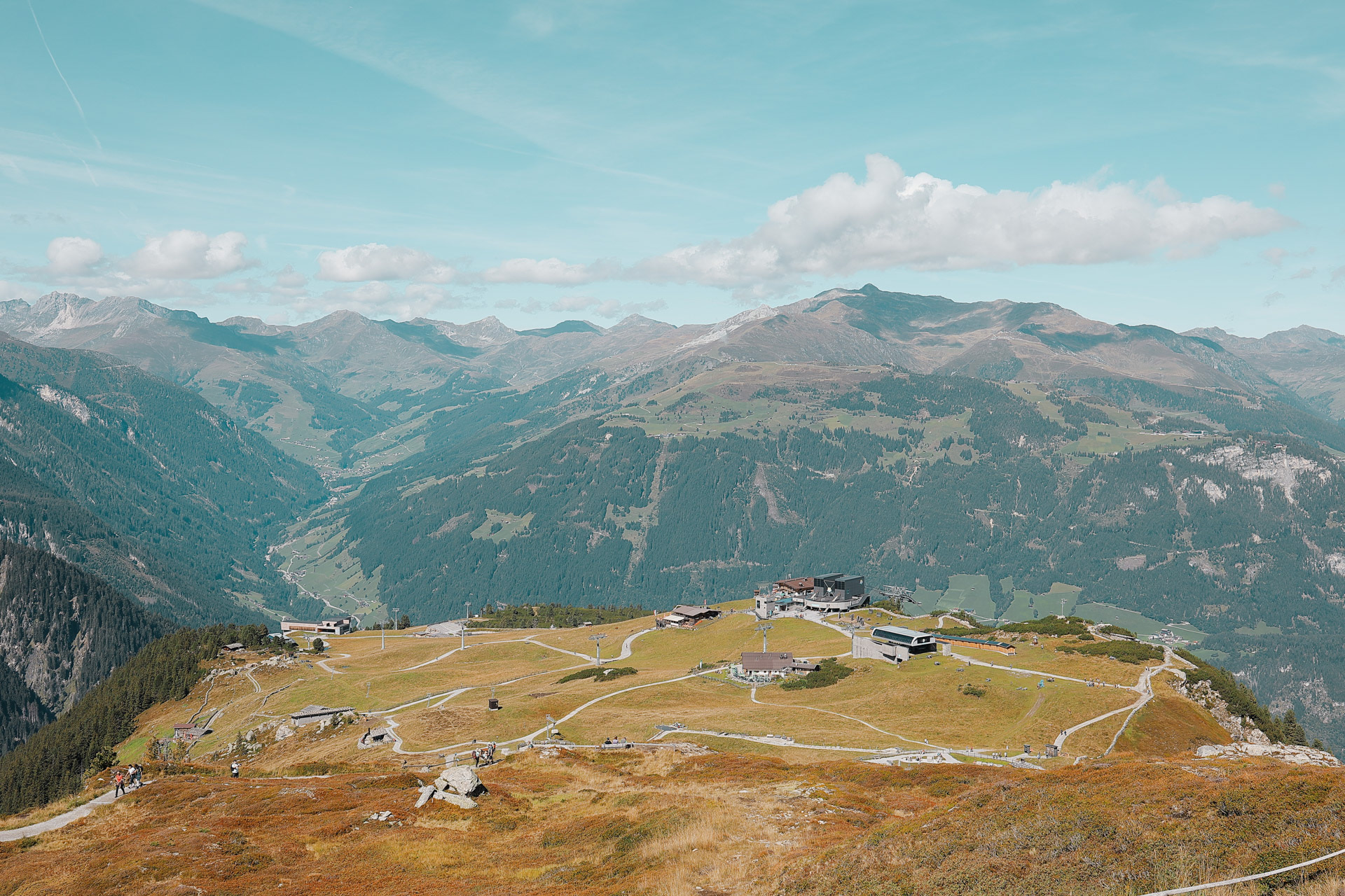
The Ahornbahn takes you up to this plateau called AhornPleateau which is a ski mountain in the winter. But in the summer it has the Albert Adler Adventure Trail that has eagle viewing platforms, restaurants, a small playground lake for kids, viewpoints, and last but not least:
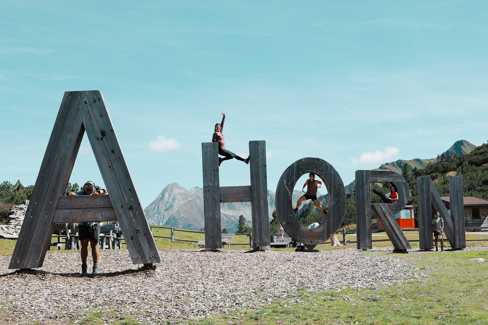
This big sign that we of course had to take a picture with!